Wisconsin Moves With Michigan as US Flooding Forecast Raises Flash-Flood Risks Across Key Travel Regions

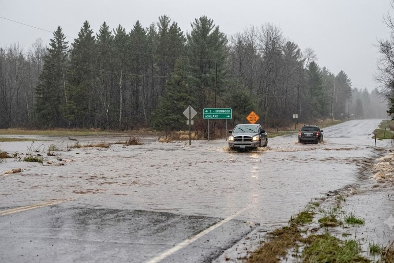
Image generated by AI
Three people lost their lives on September 16 after being swept away by floodwaters on the Navajo Nation near Newcomb, New Mexico. This tragedy serves as a stark reminder that rainfall in the American West is not merely an inconvenience but a lethal force, particularly when moisture-rich patterns collide with arid terrain. As we move through late September, a dangerous weather corridor is shifting across the United States, turning standard autumn itineraries into high-risk ventures.
The Great Lakes and Midwest Moisture Surge
Right now, the atmospheric focus is locked on the American heartland. The NOAA Weather Prediction Center has designated a Moderate Risk of excessive rainfall for a specific corridor on Saturday, September 19. If you are navigating eastern Iowa, northern Illinois, southern Wisconsin, southwestern Michigan, or northern Indiana, you are in the direct path of a system capable of overwhelming local infrastructure.
The danger here isn't just a single heavy downpour. Forecasters are warning of "training convection," a phenomenon where thunderstorms line up and move over the same area repeatedly, like cars of a train passing over a single point. For those of us who have spent time in the Midwest, we know that while the plains can handle a lot, the urban drainage systems in hubs like Chicago often struggle when the rainfall is relentless.
The technical data is sobering: precipitable water values are hovering around or above 1.8 inches across the Midwest and Great Lakes. In areas west of Lake Michigan, these values could climb above two inches. For the uninitiated, this means the air is heavily saturated, providing the raw fuel for thunderstorms to dump massive volumes of water in very short windows.
Navigating the Shifting Rain Corridor
The threat is not static; it is migrating. After the initial hit to the Upper Midwest on September 19, the danger shifts toward the Ohio Valley, the Northeast, and the Mid-Atlantic through September 23.
Between September 20 and 21, a Slight Risk of excessive rainfall extends into the Northeast and Ohio Valley. This is particularly problematic for those traversing the Upper Ohio Valley and Central Appalachians. If you are planning trips through southeastern Ohio, southwestern Pennsylvania, or West Virginia, be aware that previous rains may have already saturated the soil. When the ground is a sponge that can hold no more, even a moderate storm can trigger immediate flash flooding.
By September 21 through 23, the focus moves to the Southern Mid-Atlantic. In the Carolinas and surrounding regions, precipitable water values are expected to reach between 1.75 and 2.25 inches. The intensity here is the primary concern; we are looking at hourly rainfall rates that could approach 2.5 inches. When storms merge, local totals could hit four inches. In a city environment, this is the difference between a wet commute and a submerged street.
Visitor Insider Tips
When traveling through these high-risk zones, you cannot rely on a standard GPS or a generic weather app. You need a strategy for resilience.
Travelers visiting the Great Lakes region should monitor real-time weather updates and road closures to avoid hazardous flash-flood zones. For official safety guidelines and emergency alerts, consult the National Weather Service to plan secure transit routes.
Timing and Transit: If you are flying into O'Hare or other major Midwest hubs around September 19, expect a domino effect. Even if the runway is clear, crew rotations and inbound flights from other affected cities often collapse. Check your flight status via the Federal Aviation Administration (FAA) or your airline's real-time tracker. For those driving, avoid low-lying rural crossings in Iowa and Indiana; these are often the first to flood and the last to be reported on digital maps.
Regional Etiquette and Safety: In the Southwest, particularly on Navajo Nation lands, respect the "wash." Dry creek beds can turn into raging rivers in minutes, even if it isn't raining where you are standing. Never attempt to drive through standing water; the road underneath may have been washed away entirely.
Gear and Basecamp: If you are basing yourself in the Mid-Atlantic or Northeast between September 20 and 23, prioritize hotels with indoor parking. Urban flooding in these regions often turns parking garages into ponds. Carry high-visibility gear if you must walk in the rain, as visibility for drivers drops significantly during these high-intensity bursts.
Cultural and Environmental Context
This current volatility is not an isolated weather event; it is a symptom of a broader climatic shift. August 2026 was recorded as the warmest August globally since records began in 1850. This warming is mirrored in the oceans, where global sea-surface temperatures hit an all-time August high.
The presence of strengthening El Niño conditions in the central and eastern equatorial Pacific acts as a catalyst. Warm ocean surfaces increase evaporation, pumping more moisture into the atmosphere. While El Niño doesn't "cause" every storm, it primes the pump, making the atmosphere more efficient at producing extreme rainfall.
For the local communities in the Midwest and the Mid-Atlantic, this means a new reality of "infrastructure stress." Roads and bridges designed for the rainfall patterns of the 1970s are now facing 21st-century moisture loads. This puts a tremendous strain on local municipalities and changes how tourism is managed, as outdoor attractions and regional transport corridors become increasingly unpredictable. To understand the long-term impact of these shifts, the National Oceanic and Atmospheric Administration (NOAA) provides critical data on how these ocean-atmosphere connections dictate land-based weather.
FAQ: Visiting the US September 2026
What is the best time to visit the Midwest during this period? Avoid the window of September 19–21 if possible. If you must travel, schedule your movements for the early morning hours before the heat of the day triggers convective thunderstorms.
How do I get real-time flood warnings while traveling? Download the FEMA app or follow the National Weather Service (NWS) on social media. For those in the Midwest and Mid-Atlantic, enable "Emergency Alerts" on your smartphone to receive immediate flash flood warnings.
Is it safe for solo travelers to drive through the Ohio Valley right now? It is generally safe, but caution is required. Avoid rural backroads in West Virginia and Pennsylvania between September 20 and 23, as these areas are prone to sudden landslides and flash floods.
Do I need a special visa for the Navajo Nation or New Mexico? US citizens and valid visa holders can visit, but remember that the Navajo Nation is a sovereign entity. Always stay on marked roads and respect local tribal laws and land boundaries.
When the atmosphere is this saturated, the only safe bet is to stay off the roads and watch the radar.
Related Travel Guides
- Australia Issues Fresh Travel Warning For Saudi Arabia As Middle East Tensions Raise New Safety Risks For Travellers
- Uganda Travel Under Attention As Australia Issues New Advisory Amid Border Threats And Security Risks
- Fiji Declares National HIV Emergency After Record Cases Surge, Prompting Fresh Travel Health Focus
This article is for informational purposes. Flight routes, passenger regulations, visa rules, and transit advisories are subject to change by airlines and aviation authorities. Readers are advised to verify schedules and travel documentation with relevant carriers and border agencies before departure.
Related Stories

Asia Flight Disruptions: Over 2,270 Delays and 280 Cancellations Hit Bangkok, Beijing, and Mumbai

France Rail Strike Grips Paris Terminals and Shuts Regional Train Networks Ahead of Peak Autumn Travel