
Walshs Pyramid and Windin Falls Near Cairns Close 12–13 August 2026 for Planned Burns
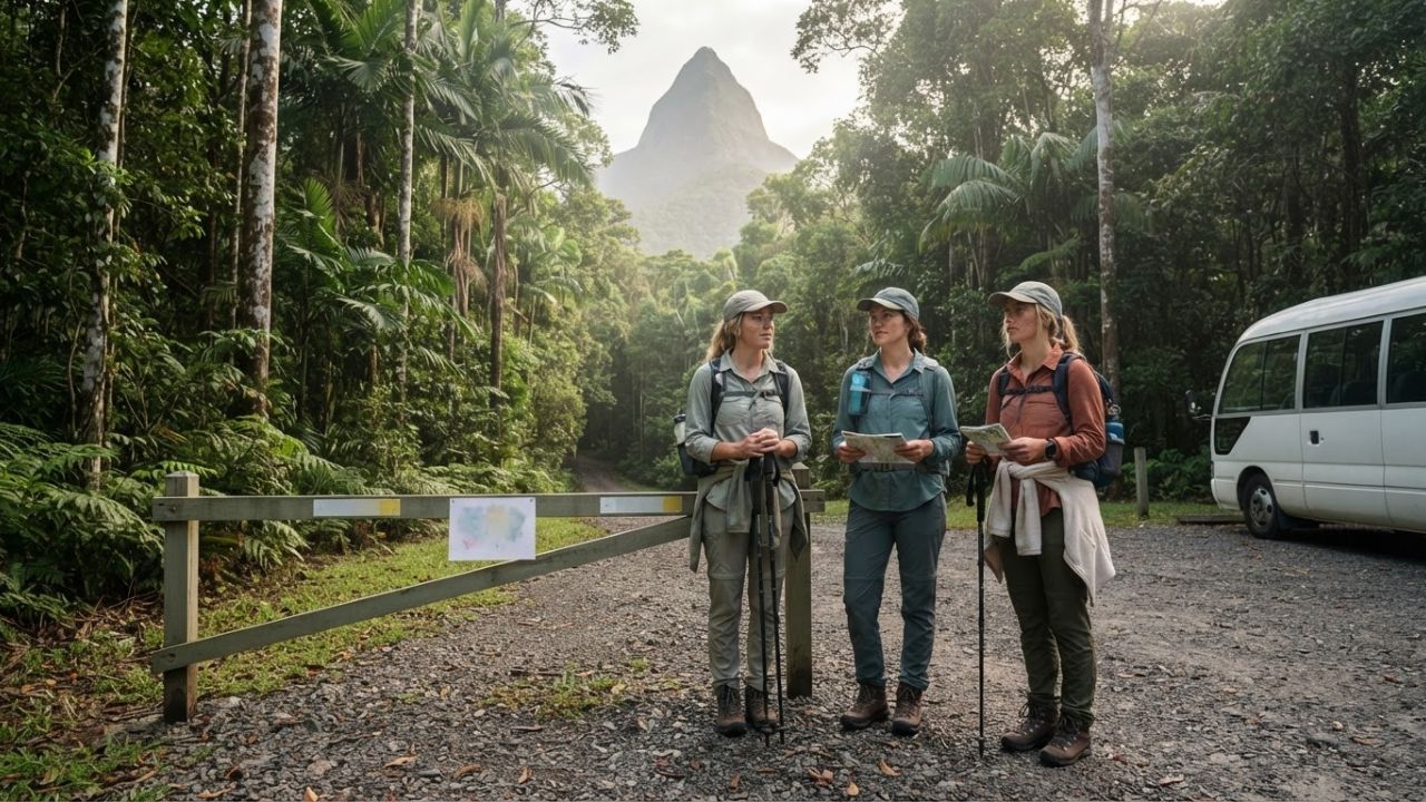
Image generated by AI
Walshs Pyramid's six-kilometre return Grade 5 walking track closes on Wednesday 12 and Thursday 13 August 2026 for a planned burn, with reopening anticipated on Friday 14 August — and Windin Falls, the most obvious same-park alternative in Wooroonooran National Park, closes on exactly the same two dates for the same reason.
What Is Closing and When: The Full Tropical North Queensland Access Picture on 11 August 2026
The Queensland Parks and Wildlife Service (QPWS) has published the following park-alert closures affecting the Cairns hinterland, all current on 11 August 2026:
| Adventure Area | Closure Reason | Applicable Dates | Traveller Impact |
|---|---|---|---|
| Walshs Pyramid, Wooroonooran NP | Planned burn | 12–13 August | Summit hike unavailable |
| Windin Falls, Wooroonooran NP | Planned burn | 12–13 August | Alternative rainforest walk unavailable |
| Bartle Frere western trailhead | Access road open — high-clearance vehicles only | 22 June–21 August | Standard vehicles cannot use route |
| Atherton Forest MTB Park and Herberton Range | Planned burn | 12–15 August | Mountain biking inventory affected |
| Gadgarra National Park | Planned track closure | 11–13 August | Inland walking fallback unavailable |
| Tully Falls National Park | Planned road closure | 12–14 August | Southern alternative access constrained |
| Little Mulgrave National Park | Planned burning operation | 12–13 August | Verify access immediately before departure |
The QPWS park-alert register lists 65 current alerts across Tropical North Queensland as of 11 August, covering various causes beyond fire. That volume illustrates why checking an individual destination's general "open" status is not sufficient for planning specific activity-based visits.
Walshs Pyramid: What the Track Actually Involves
The closure matters most because of what the walk demands. Walshs Pyramid is not a casual viewpoint. The independent peak rises to 922 metres above the cane fields near Gordonvale. The summit walking track is 6 kilometres return, rated Grade 5 by QPWS, and takes approximately five to six hours to complete.
QPWS describes the route as steep and rocky, with little shade and no water available along the track. Walkers must carry sufficient drinking water before they start. This is a physically demanding trail that requires preparation, appropriate footwear, and adequate fitness — it is not interchangeable with a short rainforest boardwalk.
The trailhead is reached by travelling approximately 25 kilometres south from Cairns on the Bruce Highway, passing through Gordonvale, before taking Moss Road toward the walking-track car park. That routing makes Walshs Pyramid a direct day-trip option from Cairns-based accommodation — and an obvious centrepiece for dry-season hinterland programmes.
The best walking season, according to official QPWS track information, runs from May to September: cooler, drier conditions with lower humidity and average maximum temperatures around 26°C. The 12–13 August closure falls inside this optimal window, not in the wet season when conditions already limit access.
Two Burns in Three Weeks — This Is Not an Isolated Event
The August closure is the second burn-related shutdown of Walshs Pyramid's walking track within approximately three weeks. QPWS records confirm the track was also closed for a planned burn on 21–22 July 2026.
The timeline also intersects with major community event use. The 67th Great Pyramid Race was scheduled for 1 August 2026 at Gordonvale — an event with recorded history dating to 1959. Cairns Regional Council planning documents expected more than 500 runners and up to 3,000 spectators for the event, with the principal race covering approximately 12 kilometres from Norman Park in Gordonvale to the summit. Council recommended A$15,000 in support for the event.
The sequence — race on 1 August, second burn closure on 12–13 August — demonstrates that the same protected area can switch within days between high-intensity recreational and community use and tightly controlled land management. Both are legitimate uses of the resource. Neither cancels the other. The operational implication is that access status must be confirmed close to the actual visit date rather than assumed from a booking made weeks earlier.
Why Windin Falls Can't Simply Replace Walshs Pyramid on 12–13 August
The conventional contingency logic for a trail closure is to redirect visitors to a nearby alternative. The 12–13 August situation breaks that logic.
Windin Falls walking track is the most geographically proximate alternative inside Wooroonooran National Park — the same management unit as Walshs Pyramid. Both tracks are scheduled to close for planned burns on exactly 12–13 August. Redirecting a hiking group from one to the other on those two dates is not possible.
The other parks within the broader Cairns hinterland are carrying their own concurrent restrictions. Atherton Forest MTB Park and Herberton Range are closed 12–15 August. Gadgarra National Park has a track closure through 13 August. Tully Falls National Park has a road closure through 14 August. Bartle Frere, the region's highest peak (1,611 metres, the summit of Queensland), has its western trailhead access road open only to high-clearance vehicles through 21 August — which eliminates it as an immediate substitute for groups using standard vehicles.
A more resilient contingency approach requires geographic separation across different management areas, different access roads, and different activity categories. Replacing a five-to-six-hour Grade 5 summit hike with a short sightseeing stop preserves the day's logistics but materially changes the nature of what was sold.
The Queensland Policy Context: State Fire Strategy 2026–2031
These closures are not operational failures. They are the intended output of a deliberate, long-term fire management policy.
According to QPWS, planned burning is part of year-round management intended to maintain environmental health and limit the severity of future bushfires. The agency identifies fuel accumulation, habitat change, and ecosystem condition as considerations behind active fire management. Burn schedules are inherently condition-dependent — the final operation depends on suitable weather, and planned dates can shift accordingly.
The current policy framework is now formalized in the QPWS State Fire Strategy 2026–2031, which establishes the strategic direction for fire management across the protected-area estate for the next five years. QPWS also maintains bioregional burn guidelines covering Queensland's 13 bioregions, including guidance on suitable weather, fire behaviour, tactics, and ecological objectives.
For travellers and tour operators, the practical consequence is this: published closure dates should be treated as live operational information subject to change, not as permanent fixed entries in a seasonal access calendar. QPWS directs park users to check the current Park Alerts register at parks.des.qld.gov.au when planning visits.
The Economic Context: Why Short Closures Have Commercial Weight
The broader Tropical North Queensland tourism market gives these short interruptions commercial significance even without suggesting any region-wide economic impact.
According to Tourism and Events Queensland, the year ending March 2026 produced A$37.3 billion in domestic visitor expenditure across Queensland, while holiday overnight visitor expenditure reached A$15.3 billion. Tropical North Queensland was among five Queensland regions appearing in Australian national top-ten rankings across one or more measures covering total overnight visitors, holiday visitors, and overnight expenditure.
The Walshs Pyramid two-day closure will not materially affect those figures. The commercial risk is more specific: tour amendments, transport changes, customer communication, potential refund exposure, replacement-product costs, and reduced visitor satisfaction where the signature hike was a primary reason for booking. For operators running international itineraries with a single available hinterland day, or for cruise extensions with no schedule flexibility, a simultaneous two-park closure during peak season carries real operational cost.
Visitor Insider Tips: Planning Cairns Hinterland Hiking Safely
Check QPWS Park Alerts before you leave Cairns, not before you book: Conditions-dependent burn schedules can change. The reliable reference is the live park-alert register at parks.des.qld.gov.au — check it the evening before your planned walk, not only when you first book the activity.
Walshs Pyramid water is your responsibility: There is no water anywhere along the 6-kilometre return Grade 5 track. Carry a minimum of two litres per person in warm dry-season conditions. Starting before 07:00 also allows you to complete the steepest exposed sections before the day's heat builds.
Gordonvale as a base: The town of Gordonvale, approximately 25 kilometres south of Cairns, is a practical overnight stop for anyone wanting an early start on Walshs Pyramid without the full drive from Cairns. Small guesthouses and a limited accommodation offer exist in town.
Bartle Frere vehicle requirement: The access road to the western Bartle Frere trailhead is under a high-clearance vehicle caution through 21 August 2026. Confirm your vehicle's suitability with QPWS directly before making the journey. Standard hire cars typically do not qualify.
Smoke visibility vs. controlled burn: During planned burning operations, smoke is visible from the highway and from Gordonvale. This is normal and controlled. Verify status through QPWS and the Queensland Fire Department before interpreting smoke as an emergency situation.
The dry season is the right season: The May to September window is genuinely the best time to visit Walshs Pyramid — lower humidity, average maximum temperatures around 26°C, and manageable track conditions. Plan for 5–6 hours total including breaks, and budget for the return descent, which is not significantly faster than the ascent on a steep Grade 5 track.
Alternative activities when burns are active: When Walshs Pyramid and Windin Falls are both closed, the Cairns Esplanade and its boardwalk system, Mossman Gorge (in the Daintree region, approximately 75 kilometres north of Cairns), and the Atherton Tablelands lake circuit remain generally accessible. Confirm individual status before travelling.
Tourism Outlook: Fire Management as a Permanent Operating Variable
The QPWS State Fire Strategy 2026–2031 signals that planned burning will remain a constant feature of the protected-area management environment in Tropical North Queensland through at least 2031. This is not a temporary condition created by an unusual season.
For nature-based tourism businesses operating from Cairns and Gordonvale, the strategic response is not to avoid the adventure tourism category but to restructure itinerary architecture so that concurrent burns across the same management unit do not simultaneously remove both the primary product and its fallback. That means maintaining alternatives across geographically separated parks, different access roads, and mixed activity categories — and checking the QPWS alert register as a routine operational step before every departure.
For individual travellers, the lesson is simpler: Tropical North Queensland's national parks are actively managed ecological environments operating under a multi-year fire strategy, not static visitor infrastructure. The QPWS alert register is the only reliable current-condition source. Checking it before you travel is as practical as checking the weather.
FAQ: Walshs Pyramid and Cairns Hinterland Closures August 2026
When does Walshs Pyramid reopen after the August 2026 closure? QPWS anticipates reopening the Walshs Pyramid walking track on Friday 14 August 2026, following the planned burn scheduled for 12–13 August. Reopening is subject to suitable conditions — check the live Park Alerts register on parks.des.qld.gov.au before visiting.
Why can't visitors go to Windin Falls instead of Walshs Pyramid on 12–13 August? Windin Falls walking track in Wooroonooran National Park is scheduled to close for a planned burn on exactly the same dates — 12–13 August 2026. Both tracks are within the same national park and under the same burn programme, making same-day substitution between them impossible during the closure period.
What is the Great Pyramid Race at Gordonvale? The Great Pyramid Race is a community running event based at Norman Park in Gordonvale, with a history dating back to 1959. The 67th edition was scheduled for 1 August 2026, covering approximately 12 kilometres from Norman Park to the Walshs Pyramid summit, with more than 500 runners and up to 3,000 spectators expected according to Cairns Regional Council planning documents.
Related Travel Guides
2026 Earthquakes Hit Colombia, Japan, Indonesia and Venezuela: What Travellers Need to Know
Uganda Open Park Days 2026: Six African Nations Deepen Conservation Tourism Strategy
Cairns Tropical North Queensland Adventure Hiking Guide: Best Trails and Park Access 2026
Disclaimer
This article is for informational and educational purposes only. It does not constitute legal, financial, or professional advice. While we strive to provide accurate and up-to-date information, travel policies, regulations, and conditions change rapidly. Always verify information with official sources before making travel decisions. Nomad Lawyer makes no representations about the accuracy, reliability, completeness, or suitability of the information provided. Readers should consult qualified professionals for advice specific to their circumstances. The views expressed in this article are those of the author and do not necessarily reflect the views of Nomad Lawyer.