California Thanksgiving 2026 Travel Alert: Flood Risks for SF Bay Ferries and Big Sur Highway 1

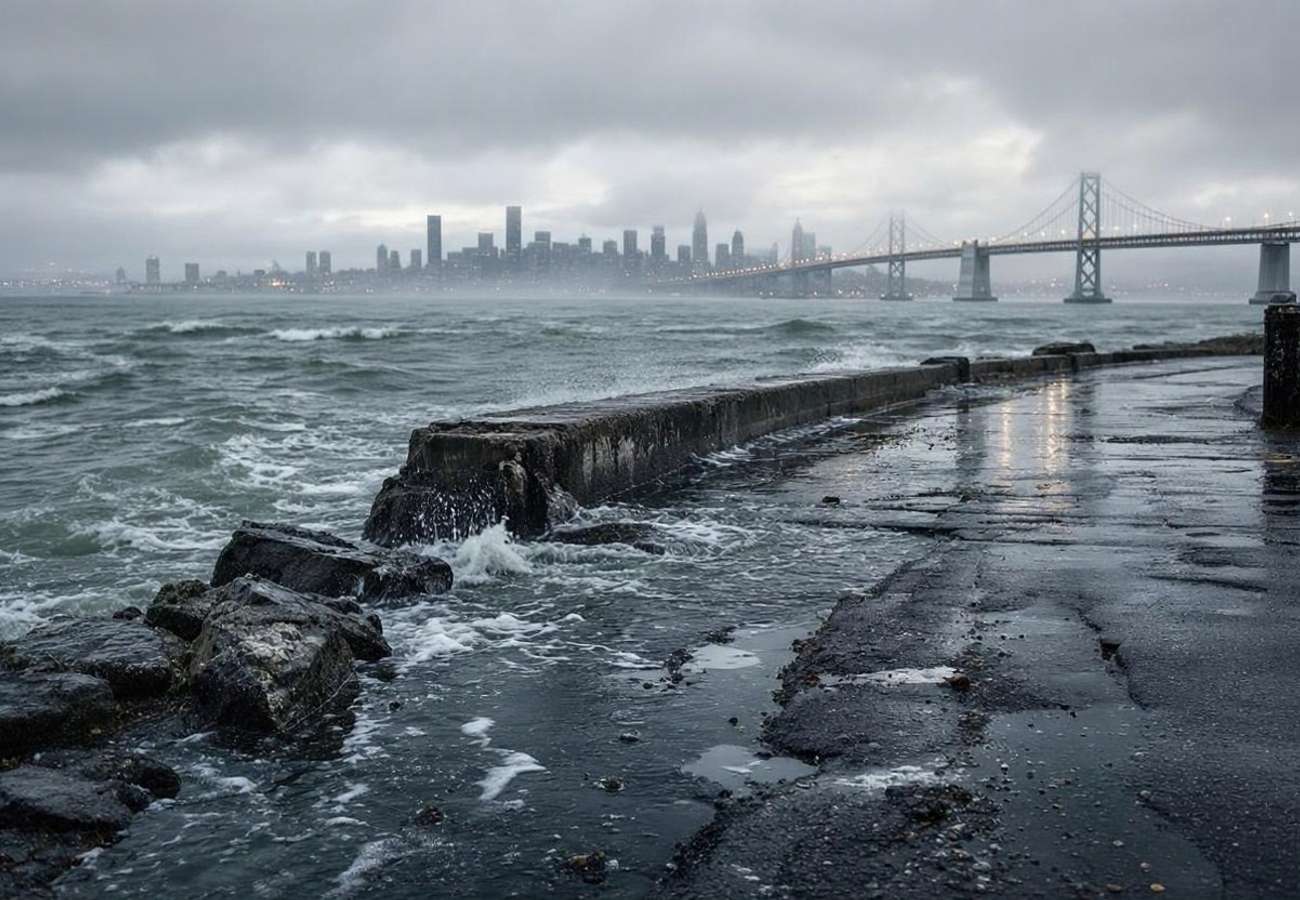
Image generated by AI
Tidal gauges in San Francisco are forecasting peaks of up to 8.8 feet for the 2026 Thanksgiving window—a significant elevation that threatens to submerge low-lying infrastructure across the Bay Area. This data represents a critical intersection of astronomical high tides and Pacific storm surges, creating a high-risk environment for motorists and commuters between November 22 and November 27.
The Flood Risk in Numbers: San Francisco Bay
The National Weather Service (NWS) has issued a coastal flood warning effective from 6:00 am on Monday, November 23, through 4:00 pm on Thanksgiving Day, November 26. The data indicates that water levels in vulnerable shoreline and tidal-waterway locations could rise as much as 3 feet above ground level.
The risk is not uniform but peaks during specific tidal windows. According to NWS data from the San Francisco tidal gauge, the highest risks occur during the following windows:
- Tuesday, Nov 24: 8.7 feet at 10:05 am
- Wednesday, Nov 25: 8.8 feet at 10:49 am
- Thursday, Nov 26: 8.4 feet at 11:38 am
These figures indicate a concentrated danger zone on the Tuesday and Wednesday of the holiday week, where the combination of high tides and potential storm runoff could lead to sudden road closures.
Regional Transit Impact and Comparative Risks
The impact of these water levels varies by transit mode and geography. While the Golden Gate Ferry has issued alerts regarding potential service suspensions for Larkspur, Sausalito, and Tiburon routes, these are conditional warnings based on real-time marine conditions rather than blanket cancellations.
In contrast, the risk for motorists in Marin County is more systemic. Emergency portals warn of significant flooding from November 22 to 27, with a high probability of road closures that could isolate communities like Belvedere. Because Belvedere is linked to the Tiburon Peninsula via low-lying roads, the data suggests a high risk of restricted access, though mandatory evacuation orders have not yet been triggered.
Coastal Infrastructure Status: Big Sur vs. SF Bay
| Location | Status as of Nov 20, 2026 | Primary Risk Factor | Expected Delay/Impact |
|---|---|---|---|
| Highway 1 (Big Sur) | Reopened (8:30 am) | Debris flows/culvert clearing | Up to 10-minute delays |
| SF Bay Shorelines | Warning Active | Tidal surge (up to 8.8 ft) | Road closures/3ft flooding |
| Pfeiffer Big Sur Park | Closed | Mud/debris from burn scar | Closed until Nov 26 |
| Point Lobos Reserve | Closed | Local flooding/fallen trees | Full closure |
| Golden Gate Ferry | Conditional Alert | Storm surges/high tides | Potential suspensions |
What This Means for Travelers
For those navigating California during the Thanksgiving window, the data suggests that traditional route planning is insufficient. The volatility of tidal flooding means a road that is clear at 8:00 am may be impassable by 11:00 am.
Actionable Booking and Transit Advice:
- Ferry Commuters: Do not rely on a single departure time during the peak tidal windows (10:00 am to 12:00 pm) on Nov 24 and 25. Check live service alerts for the Golden Gate Ferry and the San Francisco Bay Ferry separately, as they are different operators.
- Big Sur Road Trippers: While Highway 1 is open, the California Department of Transportation (Caltrans) reports that one-way reversing traffic control is still active at Fernwood. Avoid unnecessary trips through this corridor.
- Park Visitors: If your itinerary depends on Pfeiffer Big Sur State Park or Point Lobos, assume closures will persist. Verify status via the California State Parks portal before departing.
- Marin County Drivers: Avoid low-lying coastal roads between November 22 and 27. If you must travel, identify two alternative routes that avoid the immediate shoreline.
Forward Projection: The Post-Holiday Outlook
Based on current trajectories, the primary risk for the Thanksgiving period is "staged disruption." Rather than one catastrophic storm, the data points to a series of tidal events compounded by rain runoff.
Looking toward December, the persistence of mud and debris in the Big Sur region—specifically around the Timber Fire burn scar—suggests that the area will remain hypersensitive to rainfall. Travelers should expect continued intermittent closures of state parks and secondary roads throughout the winter season as crews continue to clear drainage culverts and inspect structural damage.
FAQ: California Thanksgiving Travel 2026
Are all ferries in the SF Bay cancelled? No. Only conditional warnings have been issued. Passengers should check specific routes for Larkspur, Sausalito, and Tiburon, as decisions are made based on real-time weather conditions.
Can I still drive through Big Sur? Yes, Highway 1 reopened on November 20 at 8:30 am. However, expect delays of up to 10 minutes at Fernwood due to ongoing maintenance and one-way traffic control.
Is Belvedere Island currently cut off? No, but there is a serious risk of restricted access. Travelers should monitor local emergency portals for "evacuation warnings" versus "mandatory orders" before entering the peninsula.
When will Pfeiffer Big Sur State Park reopen? The park is currently closed until Thanksgiving Day, November 26. However, reopening is not automatic and depends on the completion of debris removal and safety inspections.
Plan for the tide, not just the destination.
Related Travel Guides
This article is for informational purposes. Flight routes, passenger regulations, visa rules, and transit advisories are subject to change by airlines and aviation authorities. Readers are advised to verify schedules and travel documentation with relevant carriers and border agencies before departure.
Related Stories

California Storm Warnings and Banff Snow Shortages: Winter 2026 Travel Alert
US East Coast Weather Alert: Potential Tropical Storm Kyle Impacts Travel from Georgia to New England 2026