
US Issues Travel Advisory for Okinawa Japan as Massive Typhoon Threatens Region August 6-9 2026
The US government has issued a travel advisory for Okinawa, Japan, as a slow-moving typhoon brings risks of life-threatening storm surges and flooding from August 6 through August 9, 2026.

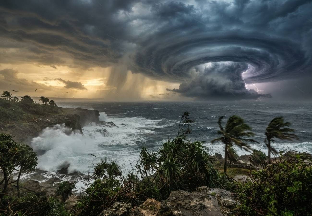
Image generated by AI
The United States government has issued a formal travel advisory for Okinawa, Japan, as a large, slow-moving typhoon tracks toward the southern islands. The system is expected to trigger severe travel disruptions and life-threatening conditions from August 6 through at least August 9, 2026.
The storm's slow progression increases the risk of prolonged exposure to hazardous weather. US agencies warn of a combination of high winds, torrential downpours, landslides, and dangerous storm surges that could paralyze the region's infrastructure.
Critical Threat Factors and Timing
Unlike fast-moving storms that pass quickly, this system's slow velocity means Okinawa may face extended periods of instability. The primary hazards identified include:
- Wind and Debris: Extremely high winds capable of damaging power networks and creating lethal flying debris.
- Hydrological Risks: Saturated ground leading to landslides in mountainous terrain and flash floods in urban areas.
- Coastal Surge: Rising sea levels and storm tides threatening low-lying coastal communities and beaches.
- The "Eye" Trap: A critical warning has been issued regarding the typhoon's eye. The temporary calm experienced during the eye's passage is not an indication that the storm has ended; the rear side of the system often brings sudden, violent winds from the opposite direction.
Logistics and Transport Impact
Our analysis of the regional infrastructure suggests significant bottlenecks across three primary sectors:
Aviation and Air Travel Naha Airport, the primary gateway for the region, is expected to face operational restrictions. Travelers should anticipate:
- Immediate flight cancellations or rescheduling.
- Ground delays due to wind shear and visibility issues.
- A priority on safety-led diversions by airlines.
Maritime and Inter-Island Transit Okinawa's reliance on ferry services for island connectivity makes it highly vulnerable. High wave heights and gale-force winds are expected to force the total suspension of ferry services, trapping travelers on outlying islands.
Ground Infrastructure Rental car travel is strongly discouraged. Flooding and fallen trees are likely to obstruct primary road arteries, while power interruptions may disable communication networks and fueling stations.
Essential Safety Protocol for Travelers
For those currently in the region or arriving during this window, the following measures are mandatory:
- Shelter: Remain indoors and avoid all coastal, river, and mountain areas.
- Supplies: Secure emergency stocks of potable water, non-perishable food, and essential medications.
- Communication: Keep mobile devices fully charged and monitor Japanese official weather channels.
- Verification: Confirm all flight and ferry statuses directly with operators before attempting to travel to terminals.
Regional Tourism Impact
August is a peak travel month for Okinawa's coral reefs and beaches. This weather event coincides with high tourist density, meaning hotels and resorts are likely to implement emergency lockdown procedures. While recovery operations typically follow the storm's exit, the slow nature of this specific typhoon suggests a longer-than-average recovery window for transport networks.
Summary of Hazards: August 6–9, 2026
| Risk Factor | Expected Impact | Warning Level |
|---|---|---|
| Wind Speed | Structural damage, power outages, flying debris | Severe |
| Rainfall | Flash floods, overwhelmed drainage systems | High |
| Coastal | Storm surges, dangerous tides in low-lying areas | Critical |
| Terrain | Landslides in mountainous regions | High |
| Transport | Naha Airport restrictions, ferry suspensions | Severe |
Why This Matters
From a logistical perspective, the "slow-moving" nature of this typhoon is the most critical detail. In aviation and travel management, a fast storm creates a temporary gap in service; a slow storm creates a systemic collapse of the schedule. For travelers, this means a higher probability of being stranded in hotels or airports for multiple days rather than a simple 24-hour delay.
Furthermore, the warning about the typhoon's eye is a vital piece of "Information Gain." Many tourists mistake the eye for the end of the storm, leading them to venture outside and become trapped in the second, often more violent, half of the cyclone.
Industry Outlook
Market trends suggest that as climate patterns shift, these "slow-stalling" tropical systems will become more frequent in the Pacific. We expect airlines to implement more aggressive pre-emptive cancellation windows for Naha Airport to avoid aircraft being stranded on the ground during peak wind events. Travelers should increasingly rely on real-time GPS-linked weather alerts rather than static flight boards.
Safety must take precedence over itinerary adherence during this window.
Related Travel Guides
Disclaimer
This article is for informational and educational purposes only. It does not constitute legal, financial, or professional advice. While we strive to provide accurate and up-to-date information, travel policies, regulations, and conditions change rapidly. Always verify information with official sources before making travel decisions. Nomad Lawyer makes no representations about the accuracy, reliability, completeness, or suitability of the information provided. Readers should consult qualified professionals for advice specific to their circumstances. The views expressed in this article are those of the author and do not necessarily reflect the views of Nomad Lawyer.
Kunal K Choudhary
Co-Founder & Contributor
A passionate traveller and tech enthusiast. Kunal contributes to the vision and growth of Nomad Lawyer, bringing fresh perspectives and driving the community forward.
Learn more about our team →