
Top 10 US Urban Hiking Trails for Fall 2026: National Park Alternatives in Major Cities
Avoid timed-entry permits and long drives with these 10 urban trail systems that offer National Park-level vistas and fall foliage within city limits.

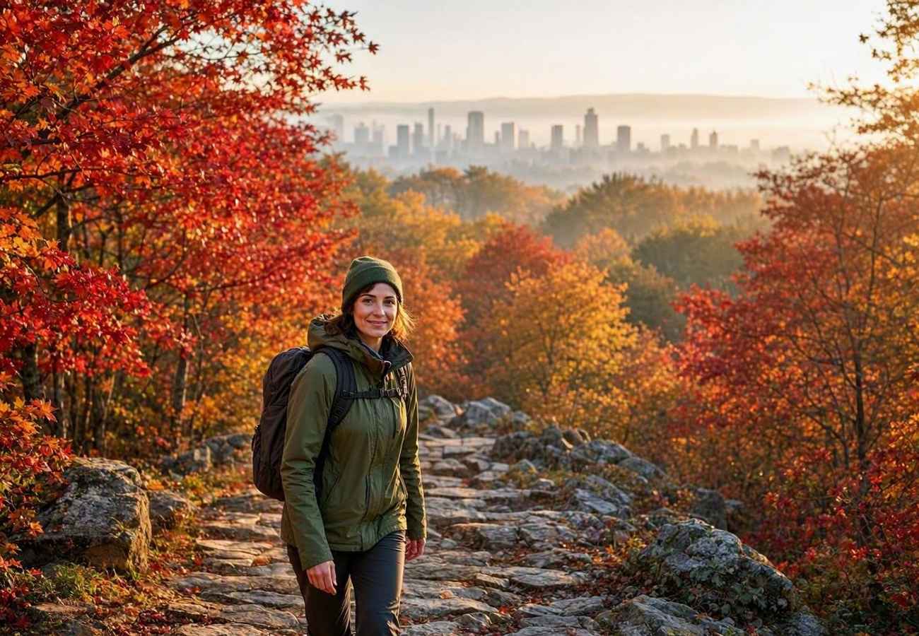
Image generated by AI
Want the majesty of a National Park without the nightmare of timed-entry permits or six-hour drives? For the modern traveler, the logistical friction of visiting iconic wilderness areas—expensive lodging, competitive reservation systems, and remote transit—often outweighs the reward. However, several major U.S. metropolitan hubs harbor sprawling urban forests and rugged ridge lines that provide the same dramatic cliff scrambles and old-growth foliage found in the backcountry.
High-Access Urban Wilderness Alternatives
Many travelers mistakenly believe that world-class leaf-peeping requires a trip to the deep interior of Vermont or the remote corners of the Pacific Northwest. In reality, the "micro-escape" is a viable logistical strategy for 2026. By utilizing city-based trail systems, you can transition from a mountain summit to a high-end city dinner in under an hour, eliminating the need for freeze-dried meals and expensive rental cars.
These urban reserves are not merely "city parks"; they are biodiversity hubs that mirror the ecosystems of the National Park Service. From the temperate rainforests of the coast to the schist gorges of the East Coast, these routes offer a high-density scenic experience with low-friction logistics.
Route and Schedule Details
For those planning their autumn itinerary, the following table breaks down the primary urban alternatives to traditional National Park destinations.
| Route | City | National Park Rival | Max Distance | Difficulty | Primary Access |
|---|---|---|---|---|---|
| Wildwood Trail | Portland, OR | Olympic / Redwood | 30 miles | Moderate | Macleay Park / Hoyt Arboretum |
| Skyline Trail | Boston, MA | Acadia / White Mtns | 15 miles | Strenuous | MBTA Red Line to Bus |
| Chautauqua Trail | Boulder, CO | Rocky Mountain | 3.4 miles | Strenuous | Chautauqua Park |
| Orange Trail | Philadelphia, PA | Shenandoah | 5.5 miles | Moderate | Valley Green Inn |
| Valley Trail | Washington, DC | Great Smoky Mtns | 5.6 miles | Easy/Mod | Peirce Mill / Boulder Bridge |
Traveler Logistics Guide
Navigating urban trails requires a different tactical approach than wilderness backpacking. Since these routes are integrated into city infrastructures, your primary focus should be on the "last mile" of transport and digital navigation.
Optimal Transit Strategies For East Coast routes, avoid renting a car. In Boston, for example, the Massachusetts Bay Transportation Authority (MBTA) provides direct access to the Blue Hills Reservation via the Red Line and connecting bus services. This eliminates the need for expensive parking and the stress of autumn traffic. In Washington, DC, utilize the National Park Service (NPS) official maps for Rock Creek Park to identify the most efficient entry points based on your hotel location.
Digital Navigation and Safety While these trails are accessible, they can be deceptive. The Skyline Trail in Boston and the Chautauqua Trail in Boulder involve technical boulder scrambles and steep elevation gains. I recommend downloading offline maps via AllTrails or official city recreation portals before departing, as cellular dead zones exist even within city limits.
Gear and Packing for Urban Hikes Unlike a multi-day trek, you do not need heavy camping gear. However, autumn in the Pacific Northwest (Portland) and the Rockies (Boulder) is volatile.
- Footwear: Strenuous trails like the Royal Arch require hiking boots with ankle support; sneakers are insufficient for the talus fields.
- Clothing: Use a layering system. Temperatures can drop 10-15 degrees rapidly once you hit the shaded canopy of Forest Park or the high ridges of the Blue Hills.
- Hydration: While these are urban parks, water sources are often contaminated. Carry at least 2 liters of water per 5 miles.
Customs and Permits One of the greatest logistical advantages of these routes is the lack of bureaucracy. Unlike the timed-entry systems now common in parks like Rocky Mountain or Acadia, these urban trails generally operate on an open-access basis. No advance permits are required for day hiking, making them ideal for spontaneous itinerary adjustments.
Regional Connectivity Impact
The shift toward "urban wilderness" is reshaping how travelers interact with U.S. cities. Instead of treating the city as a concrete jungle to be escaped, these trail systems integrate the natural environment into the urban core.
In the Pacific Northwest, the 5,000-acre Forest Park in Portland creates a green lung that allows travelers to experience Douglas firs and western red cedars without leaving the metropolitan area. This reduces the carbon footprint of the trip and supports local urban economies. Similarly, in Philadelphia, the Wissahickon Valley Park preserves a 1,800-acre schist gorge, providing a sanctuary that feels entirely detached from the city while remaining minutes away from downtown.
For those based in the Denver-Boulder corridor, the Chautauqua Trail network provides immediate access to the Flatirons. This removes the logistical bottleneck of shuttle permits and long-distance traffic that typically plagues trips to the high alpine regions of Colorado.
FAQ: Urban Hiking Logistics 2026
Do I need a permit for these urban trails? No. Unlike many National Parks in 2026, these city-based trails generally do not require timed-entry permits or advance reservations for day hikers.
Can I use public transit to reach these trailheads? Yes, especially in Boston (MBTA) and Washington, DC. Always check the local transit authority website for the most current bus schedules to the park entrances.
How do these trails compare to National Parks in terms of difficulty? Some are comparable. The Skyline Trail (Boston) and Chautauqua Trail (Boulder) are rated as strenuous and involve steep climbs and rocky terrain similar to backcountry NP trails.
Is it safe to hike these trails alone? Generally yes, as they are more frequented than remote wilderness areas. However, always share your live location with a contact and stick to marked trails like the Orange Trail in Philadelphia.
Trade the permit lottery for a city skyline and a mountain summit.
Related Travel Guides
Disclaimer
This article is for informational and educational purposes only. It does not constitute legal, financial, or professional advice. While we strive to provide accurate and up-to-date information, travel policies, regulations, and conditions change rapidly. Always verify information with official sources before making travel decisions. Nomad Lawyer makes no representations about the accuracy, reliability, completeness, or suitability of the information provided. Readers should consult qualified professionals for advice specific to their circumstances. The views expressed in this article are those of the author and do not necessarily reflect the views of Nomad Lawyer.
Preeti Gunjan
Contributor & Community Manager
A passionate traveller and community builder. Preeti helps grow the Nomad Lawyer community, fostering engagement and bringing the reader experience to life.
Learn more about our team →