
Met Office Issues Yellow Thunderstorm Warning for Leicester as Travel Disruption Escalates
The UK Met Office has issued a yellow weather warning for Leicester and the East Midlands as severe thunderstorms threaten road, rail, and air travel.

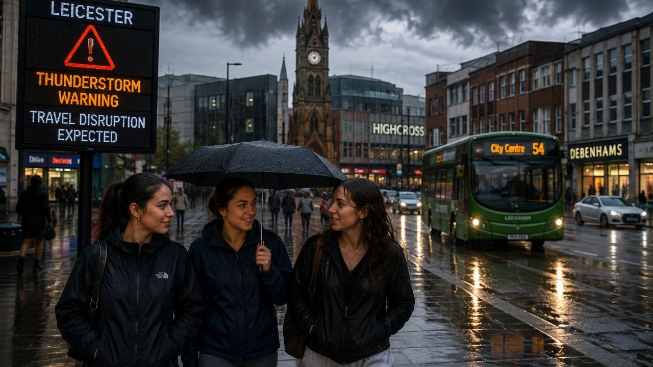
Image generated by AI
The UK Met Office has issued an official yellow weather warning for Leicester and surrounding East Midlands districts as severe thunderstorms, torrential downpours, and lightning strikes threaten transport networks.
[LEICESTER, UK] — Emergency response teams and transport authorities across Leicestershire are implementing severe weather protocols following a official yellow weather warning from the Met Office. Meteorological tracking confirms a band of atmospheric instability moving northward across the UK, bringing heavy precipitation, frequent lightning, and localized wind shear. The weather system presents flash flooding hazards for highway networks, rail lines, and regional flight operations through the afternoon and evening hours.
Severe Convective Weather Tracking Across the East Midlands
Meteorological radar data indicates that volatile storm cells are consolidating across Leicester and the wider East Midlands region.
Rapid thermodynamic shifts are generating intense localized rainfall, with precipitation rates threatening to exceed municipal drainage capacities. Emergency planning teams within local councils have activated flood monitoring along river basins and urban drainage corridors as the core of the storm system moves across Leicestershire.
Met Office Meteorological Warning Parameters:
├── Official Warning Category: Yellow Weather Warning (Severe Convective Storms)
├── Geographic Coverage: Leicester, Leicestershire & broader East Midlands
├── Primary Weather Hazards: Heavy precipitation, lightning, flash flooding & sudden gales
└── Operational System Direction: Broad atmospheric instability band moving steadily northward
Transport Sector Impacts: Highways, Rail Networks, and Airports
The convergence of heavy rainfall and electrical activity creates operational hazards across regional transport corridors.
Commuters and commercial drivers on major arterial routes, including the M1 motorways and regional A-roads surrounding Leicester, face severe surface water accumulation, reduced visibility, and extended braking distances.
Rail operators warn of timetable adjustments and cancellations stemming from track flooding and electrical signal failures. Furthermore, airport authorities indicate potential schedule adjustments if wind shear or ground-level lightning disrupts flight paths and apron refueling operations.
Transport Network Disruption Dynamics:
├── Road & Highway Corridors: Standing surface water, reduced visibility & flying debris
├── Regional Rail Networks: Track flooding risk & electrical signal equipment failure
└── Aviation Operations: Schedule holding & ground handling delays due to wind shear
| Transport Domain | Specific Meteorological Hazard | Expected Operational Impact | Recommended Traveler Action |
|---|---|---|---|
| Highway Networks (M1 / A-Roads) | Standing surface water & sudden gales | Reduced driving speeds & hydroplaning risks | Maintain extended vehicle separation distances |
| Regional Passenger Rail | Track inundation & signal lightning strikes | Train cancellations & timetable delays | Verify live departure boards before traveling |
| Aviation & Airport Operations | Wind shear & ground electrical hazard | Flight schedule holding & apron delays | Monitor real-time flight status with airlines |
| Municipal Bus Transit | Urban road flooding & fallen debris | Route diversions & prolonged transit times | Allow extra travel time for urban commutes |
| Logistics & Freight Shipping | Flooded low-lying arterial bypasses | Dynamic freight rerouting around low bridges | Check regional flood advisories before dispatch |
Logistics Rerouting and Utility Infrastructure Stress
Civil engineers and freight logistics managers are adjusting operations to mitigate systemic storm vulnerabilities.
Freight shipping firms are rerouting transport vehicles away from low-lying arterial passes historically vulnerable to rapid inundation.
Simultaneously, regional power utilities have placed repair crews on standby as lightning strikes and fallen trees threaten overhead power cables and electrical sub-stations.
Logistics & Infrastructure Preparedness:
├── Freight Supply Chains: Dynamic vehicle rerouting away from flood-prone underpasses
├── Power Grid Utilities: Emergency repair crews staged for lightning & wind damage
└── Urban Drainage Systems: Continuous monitoring of culverts, storm drains & river gauges
Resilience Guidelines for Residents and Motorists
Local resilience forums across Leicestershire have published emergency guidelines to reduce property loss and commuter risk.
Property owners are urged to clear gutters, inspect property drainage channels, and secure outdoor structures like garden furniture and temporary commercial signage. Motorists facing mandatory journeys are advised against entering unmeasured floodwater, as submerged vehicle engines face catastrophic damage.
Property & Travel Safety Checklist:
├── Home & Business Assets: Clear gutters & secure loose outdoor furniture & signage
├── Vehicle Travel Protocol: Avoid driving through submerged roadways or standing water
└── Emergency Kit Assembly: Prepare battery torches, portable power banks & vital documents
Predictive Weather Modeling and Modern Multi-Agency Response
Emergency management protocols have evolved significantly compared to historical reactive procedures.
Modern meteorology utilizes hyper-localized predictive modeling, allowing the Met Office to issue targeted warnings hours ahead of severe convective activity.
Local authorities operate within integrated multi-agency command structures, connecting emergency services, environmental agencies, and highway authorities to share real-time transit dashboard data and coordinate emergency responses.
Evolution of Emergency Response Architecture:
├── Historical Model: Reactive incident reporting & fragmented local council response
└── Modern Framework: Hyper-localized predictive modeling & multi-agency command hubs
Why This Matters for Commuters, Travelers, and Businesses
Analyzing the Met Office yellow warning highlights critical travel safety measures:
- For Road Motorists: Avoiding flooded low-lying roads prevents hydroplaning risks and catastrophic engine damage from standing water.
- For Rail and Air Travelers: Checking real-time departure dashboards before heading to stations or airports helps navigate delays caused by lightning signal failures.
- For Logistics Operators: Utilizing predictive weather modeling enables freight managers to reroute delivery fleets around flooded transit corridors.
Related Travel Guides
Disclaimer
This article is for informational and educational purposes only. It does not constitute legal, financial, or professional advice. While we strive to provide accurate and up-to-date information, travel policies, regulations, and conditions change rapidly. Always verify information with official sources before making travel decisions. Nomad Lawyer makes no representations about the accuracy, reliability, completeness, or suitability of the information provided. Readers should consult qualified professionals for advice specific to their circumstances. The views expressed in this article are those of the author and do not necessarily reflect the views of Nomad Lawyer.
Raushan Kumar
Founder & Lead Developer
Full-stack developer with 11+ years of experience and a passionate traveller. Raushan built Nomad Lawyer from the ground up with a vision to create the best travel and law experience on the web.
Learn more about our team →