Storm Bruna 2026: Iberia Faces 200mm Rainfall and 6m Swells Triggering Mass Travel Chaos

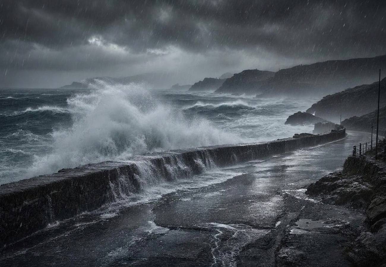
Image generated by AI
Precipitation levels in Northern Portugal are projected to exceed 200mm this week, a volume that dwarfs standard seasonal averages and signals a high-probability event for systemic infrastructure failure. This surge in moisture, coupled with coastal swells reaching 6 metres in Galicia, represents a volatile atmospheric event that is currently paralyzing the primary transit corridors between the UK and the Iberian Peninsula.
Storm Bruna in Numbers: Atmospheric Volatility
The current crisis is driven by a "Fujiwhara-like" interaction between two distinct low-pressure centres in the Atlantic. This rare meteorological engagement has amplified the storm's duration and intensity, drawing a massive plume of subtropical moisture toward Western Europe.
The Portuguese Institute for the Sea and Atmosphere (IPMA) officially named the system on 5 November. The data indicates a sustained onslaught of hurricane-force gusts and torrential rain that will persist until 13 November 2026. A critical factor in the current flooding risk is the exceptionally high snow line; because precipitation is falling as rain even in high-altitude Spanish ranges, rapid snowmelt is compounding the surface run-off, increasing the risk of flash floods in the Guadalquivir Valley.
Regional Impact and Comparative Risk
The severity of Storm Bruna is not uniform, but the risk profiles across Portugal and Spain show a dangerous concentration of hazards in coastal and mountainous regions. While the Canary Islands were the first to feel the impact on Saturday night, the mainland is now facing the peak of the system.
The following data outlines the projected precipitation and primary hazards across the affected territories from 8 November to 13 November 2026:
| Region | Expected Rainfall | Primary Hazard | Wave Height Forecast |
|---|---|---|---|
| Northern/Central Portugal | 200 mm+ | Flash & River Flooding | 3 to 5 Metres |
| Galician Coast (Spain) | 150-200 mm | Landslides & Erosion | 5 to 6 Metres |
| Canary Islands (Spain) | 100-150 mm | Mountainous Flash Floods | 3 to 4.5 Metres |
| Guadalquivir Valley (Spain) | 80-120 mm | Rapid Surface Flooding | N/A |
In Portugal, the warning tier is currently split. The Madeira archipelago is under an Orange Alert due to severe gales, while eight mainland districts and the eastern Azores (São Miguel and Santa Maria) remain under Yellow Alerts. According to AEMET (Spain's State Meteorological Agency), the most dangerous window occurs between Sunday, 8 November, and Tuesday, 10 November.
What This Means for Travelers
For those currently in Iberia or planning travel through the region, the data suggests a high likelihood of "ripple effect" delays. When major hubs like Lisbon (LIS) or Porto (OPO) experience wind shear or poor visibility, it creates a backlog that affects European airspace for several days.
Actionable Logistics Advice:
- Flight Monitoring: If you are flying into LIS, OPO, TFS, or SCQ, do not rely on scheduled departure times. Check real-time status via the International Air Transport Association (IATA) guidelines or your carrier's app.
- Coastal Avoidance: With swells predicted up to 6 metres in Galicia and 5 metres in Portugal, avoid all promenades, beaches, and harbor walls. The maritime alerts indicate high rip-tide risks and structural damage to seafronts.
- Ground Transport: Rail passengers using Infraestruturas de Portugal (IP) or Spain’s ADIF should prepare for sudden suspensions. Landslides in the Galician and Portuguese highlands are high-probability events given the 150mm+ rainfall saturation.
- Booking Window: Travelers arriving after 10 November should still maintain flexibility, as the system remains unsettled until 13 November.
Forward Projection: The Post-Storm Recovery
Based on the current trajectory of the atmospheric river, the primary flooding threats will peak on Monday and Tuesday. However, the secondary risk—soil saturation—will linger. Historically, when rainfall exceeds 200mm in a short window, the risk of landslides remains elevated for 72 to 96 hours after the rain stops.
We expect a significant surge in travel insurance claims related to "force majeure" weather events. Travelers should document all cancellations and delays immediately. As the system moves east, the focus will shift from coastal surges to inland river overflow, particularly in the Guadalquivir Valley, which could disrupt road networks well into the middle of next week.
FAQ: Storm Bruna Travel Disruption 2026
Will flights to the Canary Islands be cancelled? Yes, high probability. With 3 to 4.5-metre waves and severe turbulence forecasted for Tenerife South (TFS), ground operations are likely to be delayed or halted. Check with Aena for the latest airport status.
Is it safe to drive in Northern Portugal or Galicia? It is highly discouraged. Rainfall exceeding 200mm increases the risk of flash floods and landslides. Many secondary roads in these regions are prone to runoff and debris.
How long will the travel disruptions last? While the peak impact is Sunday through Tuesday (8-10 Nov), meteorological agencies warn that unsettled conditions and infrastructure repairs will persist until 13 November 2026.
What are my rights if my flight is cancelled due to the storm? Under standard aviation regulations, weather is often cited as an "extraordinary circumstance," which may limit cash compensation, but airlines are still required to provide rerouting or a full refund.
Prepare for a volatile week in Iberia; the data suggests the storm is only beginning to peak.
Related Travel Guides
This article is for informational purposes. Flight routes, passenger regulations, visa rules, and transit advisories are subject to change by airlines and aviation authorities. Readers are advised to verify schedules and travel documentation with relevant carriers and border agencies before departure.
Related Stories

Tainan Tourism Expansion 2026: Tigerair Debut and MICE Growth at TTF International Travel Fair

European Mass Protests Disrupt Travel Across France, Italy, Belgium, and Turkey in 2026