
Illinois, Wisconsin and Iowa Flood Warnings in US Put Weekend Travel at Risk as Heavy Rain Swamps Midwest
Illinois, Wisconsin and Iowa Flood Warnings in US Put Weekend Travel at Risk as Heavy Rain Swamps Midwest

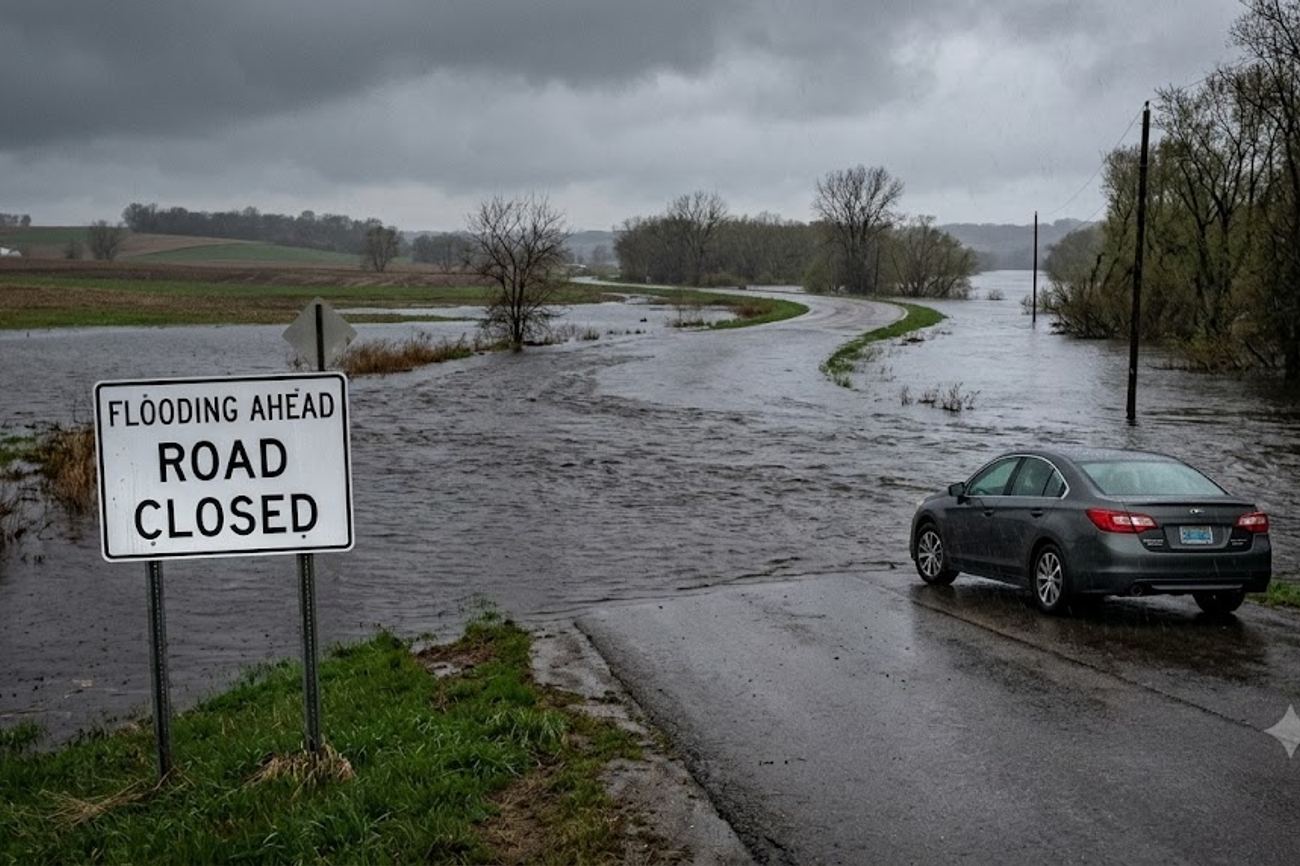
Image generated by AI
[Chicago, August 2024] — Severe flooding and thunderstorm warnings are currently disrupting travel corridors across Illinois, Wisconsin, and Iowa, threatening road access to major regional hubs and aviation operations at two of the United States' busiest airports.
The National Weather Service (NWS) has issued a series of Flood Watches and Flash Flood Warnings as a powerful weather system moves through the Midwest. The system is producing excessive rainfall that has already triggered flash floods in northwestern Illinois and northeastern Iowa, while south-central and southeastern Wisconsin remain under high alert for imminent flooding.
Atmospheric Triggers and Rainfall Totals
The current crisis is driven by heavy rainfall and thunderstorms that are overwhelming local drainage systems and river basins. In specific sectors of northeastern Jackson and Dubuque counties in Iowa, as well as Jo Daviess and Stephenson counties in Illinois, the NWS reports that 1 to 3 inches of rain have already fallen. Forecasts indicate an additional 1 to 2 inches are possible in these specific zones.
In the Chicago metropolitan area, the situation is intensified by high-intensity rainfall rates. The NWS warns that showers and thunderstorms could produce up to 2 inches of rain per hour. This volume of water in a short window creates a high probability of urban flash flooding, where street drainage cannot keep pace with the precipitation, effectively turning city roads into conduits for runoff.
Regional Impact Zones
The flooding is not uniform but is concentrated in several critical travel corridors and destination cities. The following areas are currently under official weather alerts:
Illinois Impact Zones
- Chicago: High risk of urban flash flooding and aviation disruptions.
- Galena: Significant threat to access roads and local infrastructure.
- Freeport & Mount Carroll: Included in the broad Flood Watch area.
- Northwestern Region: General vulnerability across Jo Daviess and Stephenson counties.
Iowa Impact Zones
- Dubuque: Critical flood threat affecting both the city and surrounding rural roads.
- Northeastern Communities: High risk for Elkader, Fayette, and Spillville.
- County-wide Alerts: Watches are active for Dubuque, Jackson, Clinton, Jo Daviess, and Stephenson counties.
Wisconsin Impact Zones
- South-Central/Southeastern Regions: Broad Flood Watches are in effect.
- Major Hubs: Madison and Milwaukee are under active threat.
- Tourism Centers: Lake Geneva, Racine, Whitewater, Janesville, Beloit, and Kenosha are all within the warning zones.
What This Means for Travelers
For the average traveler, these weather alerts translate into three primary operational risks: accessibility, aviation delays, and "delayed-onset" flooding.
Road Accessibility and Safety The most immediate danger is the "closed-door" scenario, where a destination city remains open and operational, but the primary arterial roads leading into that city are submerged or closed. Travelers unfamiliar with the topography of the Midwest may not realize that underpasses, bridges, and low-lying highway sections can flood rapidly. The NWS emphasizes that water depth is often deceptive; drivers are urged to avoid any attempt to traverse flooded roads, as currents can be stronger than they appear and road surfaces may be washed away beneath the water.
Aviation Disruptions in Chicago Chicago serves as a primary global gateway, and weather instability here has a ripple effect across the entire North American flight network. Heavy rain and thunderstorms are likely to impact operations at both O'Hare International Airport (ORD) and Midway International Airport (MDW).
Passengers should expect:
- Ground stops or delays due to visibility and lightning.
- Increased traffic congestion on roads leading to the airports due to urban flooding.
- Missed connections for those transiting through Chicago to destinations outside the flood zone.
The "Downstream" Effect Travelers must account for the fact that flooding often peaks after the rain has stopped. In river communities across northeastern Iowa, water continues to move downstream, meaning river levels may rise even under clear skies. A clear forecast for a departure date does not guarantee that bridges or riverfront roads in the destination area have returned to a safe state.
Navigation and Real-Time Monitoring
To mitigate risk, travelers are advised to rely on official state-run transportation data rather than third-party GPS apps, which may not update road closures in real-time.
Motorists in Iowa should utilize the official Iowa 511 system for the most accurate reports on traffic incidents and weather-related closures. Similarly, those traversing Wisconsin must consult 511 Wisconsin to monitor rapidly changing road conditions before and during their trip.
For those flying, the Chicago Department of Aviation provides real-time delay information, but the primary source of truth remains the individual airline's flight status tracker.
FAQ: Midwest Flooding 2024
Are flights into Chicago still operating? Flights are operating, but heavy rain and thunderstorms are causing delays and potential cancellations at O'Hare and Midway. Passengers must check their flight status directly with their airline before departing for the airport.
Is it safe to drive to Galena or Dubuque right now? Exercise extreme caution. While the cities may be open, the NWS has issued warnings for the surrounding counties. Check Iowa 511 or Illinois transportation alerts for specific road closures before setting out.
What should I do if I encounter water on the road? The National Weather Service directive is absolute: do not walk, swim, or drive through floodwater. Turn around and find an alternative route, as shallow-looking water can hide deep potholes or fast-moving currents.
Will the flooding clear as soon as the rain stops? Not necessarily. In river-adjacent areas like northeastern Iowa, water levels can continue to rise as runoff moves downstream. Always check local river gauges and road reports regardless of current sky conditions.
Stay flexible, monitor official channels, and prioritize safety over schedules.
#Chicago_Flooding_2024 #OHare_Midway_Delays #Dubuque_Iowa_Flood #Galena_IL_Travel #Wisconsin_511_Alerts #NWS_Midwest_Weather
Related Travel Guides
Disclaimer
This article is for informational and educational purposes only. It does not constitute legal, financial, or professional advice. While we strive to provide accurate and up-to-date information, travel policies, regulations, and conditions change rapidly. Always verify information with official sources before making travel decisions. Nomad Lawyer makes no representations about the accuracy, reliability, completeness, or suitability of the information provided. Readers should consult qualified professionals for advice specific to their circumstances. The views expressed in this article are those of the author and do not necessarily reflect the views of Nomad Lawyer.
Kunal K Choudhary
Co-Founder & Contributor
A passionate traveller and tech enthusiast. Kunal contributes to the vision and growth of Nomad Lawyer, bringing fresh perspectives and driving the community forward.
Learn more about our team →