
Bangkok Flood Emergency 2026: All 50 Districts Declared Disaster Zones After Record Rainfall
Bangkok has declared a total citywide disaster after nearly 300 mm of rain submerged all 50 districts, creating severe disruptions for travelers heading to Suvarnabhumi and Don Mueang airports.

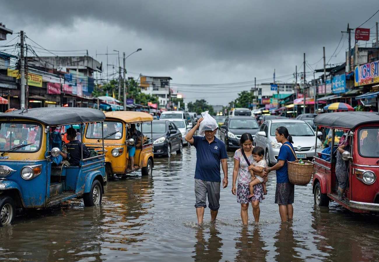
Image generated by AI
Nearly 300 mm of rain fell within a 48-hour window, forcing the Bangkok Metropolitan Administration to expand a disaster declaration from just three districts to all 50 administrative zones of the capital. This unprecedented saturation has turned the city's low-lying delta geography into a series of waterlogged corridors, overwhelming the mechanical pumping systems and traditional canal networks.
The 2026 Bangkok Monsoon Crisis
The current emergency is the result of a volatile combination of a low-pressure trough over central Thailand and an aggressive southwest monsoon. While Bangkok relies on a complex system of "klongs" (canals) and drainage tunnels, the sheer volume of water—exceeding 3 feet in some areas—has pushed these systems beyond their limit. Currently, pumping stations are working at a capacity of 1,200 cubic metres per second to clear the streets, but authorities warn that standing water will persist for several days even if the rain ceases.
The crisis extends far beyond the capital. Over 84,000 people across 21 different provinces are currently affected, as saturated ground conditions increase the risk of flash floods throughout central Thailand. For those tracking regional safety, the Thai Meteorological Department provides real-time weather warnings.
Critical Transport Disruptions
The most significant impact for international visitors is the compromised access to Bangkok's two primary aviation hubs. While both airports remain open, the arteries leading to them are severely impacted.
Don Mueang Airport Access Vibhavadi Rangsit Road, the primary northern artery, has seen major flooding, creating massive congestion and delaying passengers.
Suvarnabhumi Airport Access The area surrounding Lat Krabang has experienced significant water accumulation, making road transfers unpredictable.
Key Affected Roadways:
- Vibhavadi Rangsit Road: Severe flooding; primary airport route.
- Lat Krabang Road: High water levels near Suvarnabhumi.
- Chaeng Watthana Road: Restricted vehicle movement.
- Ramkhamhaeng Road: Heavy waterlogging.
- Sukhumvit Soi 63: Localized travel delays.
Visitor Insider Tips
If you are currently in Bangkok or arriving shortly, ignore the standard "estimated travel time" on your apps.
- Airport Transit: Leave for the airport at least 2-3 hours earlier than your usual buffer. If possible, prioritize the Airport Rail Link (ARL) over taxis or ride-shares, as rail infrastructure is less susceptible to road-level flooding.
- Neighborhood Strategy: Avoid basing yourself in Lat Krabang, Prawet, On Nut, or Ari during this peak, as these low-lying areas are seeing knee-deep water.
- Vehicle Safety: If you have a rental car, utilize the Mass Rapid Transit Authority's "Park and Ride" facilities, which are free until October 2 to help residents and visitors move cars to higher ground.
- Marine Travel: Avoid booking ferries or diving trips in the Gulf of Thailand or the Andaman Sea. Wave heights are currently hitting 2-3 metres, and small boat operations are grounded. Check UNESCO World Heritage sites in the region for temporary closure notices.
Cultural and Environmental Context
Bangkok's struggle with water is an existential one. Built on a low-lying delta nearly at sea level, the city's historical reliance on canals is now a point of vulnerability as urban sprawl replaces absorbent soil with concrete. This event highlights the tension between rapid urban development and the natural hydrology of the Chao Phraya river basin. The deployment of over 1 million sandbags and the conversion of public schools into shelters demonstrate the city's reliance on emergency mobilization over permanent infrastructure resilience.
FAQ: Visiting Bangkok 2026
Is it safe to travel to Bangkok right now? Airports are operational, but ground transport is unreliable. It is safe if you stay in high-ground districts and allow extra time for transit, but avoid low-lying areas and marine excursions.
How do I get to the airport during the floods? Avoid Vibhavadi Rangsit and Lat Krabang roads if possible. Use the Airport Rail Link or BTS Skytrain to get as close to the terminal as possible to bypass submerged streets.
Do I need a visa for emergency entry or exit? Visa requirements remain unchanged. However, check with your airline for flight rescheduling options if road closures prevent you from reaching the terminal.
Are the islands and beaches affected? Yes. Strong monsoon winds have created dangerous sea conditions in the Gulf of Thailand and Andaman Sea, leading to the cancellation of many ferry and boat tours.
Stay elevated and keep your travel documents in waterproof casings.
Related Travel Guides
Disclaimer
This article is for informational and educational purposes only. It does not constitute legal, financial, or professional advice. While we strive to provide accurate and up-to-date information, travel policies, regulations, and conditions change rapidly. Always verify information with official sources before making travel decisions. Nomad Lawyer makes no representations about the accuracy, reliability, completeness, or suitability of the information provided. Readers should consult qualified professionals for advice specific to their circumstances. The views expressed in this article are those of the author and do not necessarily reflect the views of Nomad Lawyer.
Naina Thakur
Contributor & Travel Specialist
Travel enthusiast and legal writer covering visa regulations, responsible tourism, and cultural journeys across global destinations.
Learn more about our team →