USA Weather Alert 2026: Dangerous Surf in Florida, Dense Fog in Denver, and Mountain Snow in Utah

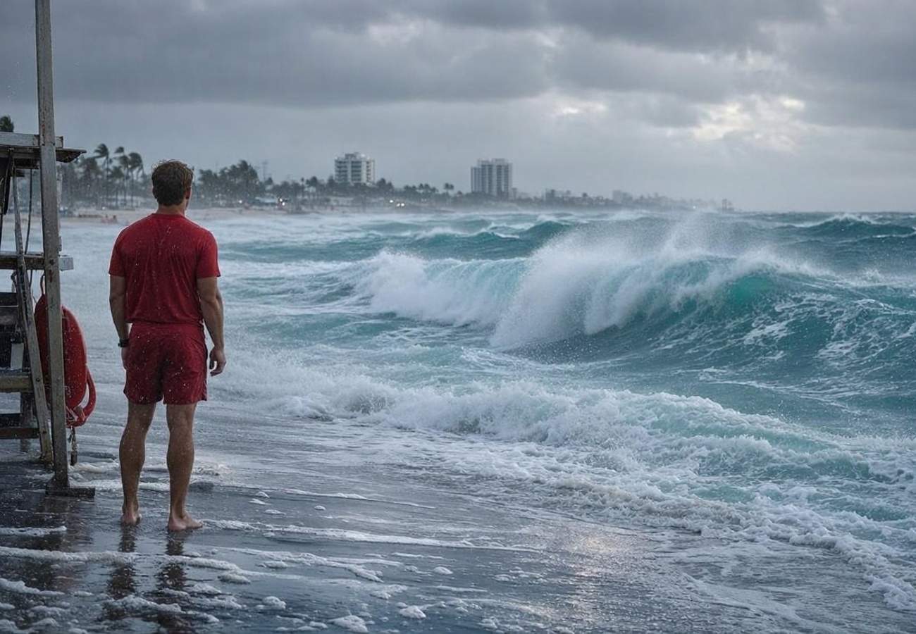
Image generated by AI
[Miami, November 4, 2026] — Multiple severe weather hazards are currently impacting tourist hubs across the United States, with the National Weather Service (NWS) issuing critical alerts for dangerous Atlantic surf in Florida, blinding fog in Colorado, and winter storms in Utah. These localized events have created significant safety risks for motorists and holidaymakers, though major airport hubs have avoided widespread closures.
The alerts, centered around November 2, 2026, target specific high-traffic zones: South Florida's Atlantic coastline, the Denver metropolitan area, and the high-altitude regions of the Wasatch and Uinta mountains. While flight cancellations have not been reported on a mass scale, ground transportation and recreational activities are facing immediate disruptions.
Atmospheric Triggers and Regional Hazards
The current disruptions are driven by three distinct meteorological events. In South Florida, strong onshore winds and elevated tides are pushing seawater into low-lying areas, creating a high-risk environment for beachgoers. Simultaneously, a temperature inversion over Denver has trapped moisture near the surface, slashing visibility to critical levels. In the West, a cold front is hitting Utah's peaks, bringing heavy snowfall and high-velocity winds.
Travelers are urged to monitor the National Weather Service (NWS) for real-time updates, as these conditions can shift rapidly.
Regional Impact Summary
The following table details the specific hazards and timeframes for the affected regions:
| Destination | Primary Hazard | Forecast Conditions | Advisory Duration |
|---|---|---|---|
| Broward County, FL | Coastal Flooding / Rip Currents | 6–7 ft breaking waves | Until 7 pm, Nov 3 |
| Palm Beach County, FL | Coastal Flooding / High Surf | 6–7 ft breaking waves | Through Nov 3 |
| Denver, CO | Dense Fog | Visibility < 0.25 miles | Until 8 am, Nov 2 |
| Denver Int'l Airport | Low Visibility | Visibility as low as 0.13 miles | Until 8 am, Nov 2 |
| Wasatch Mtns, UT | Winter Weather | 2–4 inches additional snow | Until 11 am, Nov 2 |
| Uinta Mtns, UT | Snow and High Winds | Gusts up to 45 mph | Until 11 am, Nov 2 |
What This Means for Travelers
For those currently on the ground or booking travel to these regions, the corporate alerts translate to the following practical impacts:
Florida Beachgoers: Sunny skies are deceptive. High rip current risks mean swimmers can be pulled away from shore regardless of the temperature. Avoid entering the water in Broward and Palm Beach counties. If caught in a current, swim parallel to the shore rather than fighting the flow toward the beach.
Denver Commuters: The dense fog significantly delays ground transit to Denver International Airport (DEN). Passengers using rideshares, taxis, or rental cars should add at least 60 to 90 minutes to their airport transit time. Low visibility (recorded as low as 0.13 miles) increases the risk of road accidents.
Utah Mountain Visitors: Travel to Alta, Brighton, and the Mirror Lake Highway area is hazardous. With wind gusts of 45 mph and fresh snowfall, traction is minimal. Ensure vehicles are equipped with winter tires or chains. Be alert for fallen tree branches on mountain roads.
Safety Protocols and Next Steps
Authorities are emphasizing a "check-before-you-go" policy. In Florida, this means verifying specific beach flags and lifeguard instructions. In Colorado, it requires checking flight statuses directly with airlines rather than assuming fog has caused cancellations. In Utah, travelers should consult local road condition reports before ascending into the Wasatch or Uinta ranges.
While the immediate advisories for Denver and Utah have expired, the Florida coastal flood warnings remain a primary concern through November 3. Travelers should avoid driving through standing water, as depth is often deceptive and can disable vehicles.
FAQ: USA Weather Hazards 2026
Are flights to Denver and Salt Lake City cancelled? No widespread cancellations have been confirmed. However, dense fog in Denver and snow in Utah may cause tactical delays. Check your airline's mobile app for the most current status.
Is it safe to swim in Miami beaches right now? While Miami-Dade may be calmer, Broward and Palm Beach counties have 6–7 foot waves and high rip current risks. Always follow the colored warning flags posted by local lifeguards.
Which Utah roads are most affected by the snow? The highest risks are in the Wasatch Mountains south of I-80 and the western Uinta Mountains, specifically affecting routes to Alta, Brighton, and Moon Lake.
How long will the Florida flooding last? The coastal flood advisory for Broward and Palm Beach counties is in effect until 7 pm EST on Tuesday, November 3.
Stay alert, check local advisories, and prioritize safety over schedules.
Related Travel Guides
This article is for informational purposes. Flight routes, passenger regulations, visa rules, and transit advisories are subject to change by airlines and aviation authorities. Readers are advised to verify schedules and travel documentation with relevant carriers and border agencies before departure.
Related Stories

Florida Tourism Boom 2026: Managing Security Risks for 143.3 Million Annual Visitors
Florida Dengue Outbreak 2026: Tampa Bay Cases Surge as Local Transmission Doubles