
Taksim Square Transit Guide 2026: Navigating Istanbul's Primary Transport Hub and Beyoğlu District
A professional logistics guide to Taksim Square, Istanbul's central transit node, covering M2 metro connections, Havaist airport shuttles, and pedestrian navigation of Istiklal Avenue for 2026 travelers.

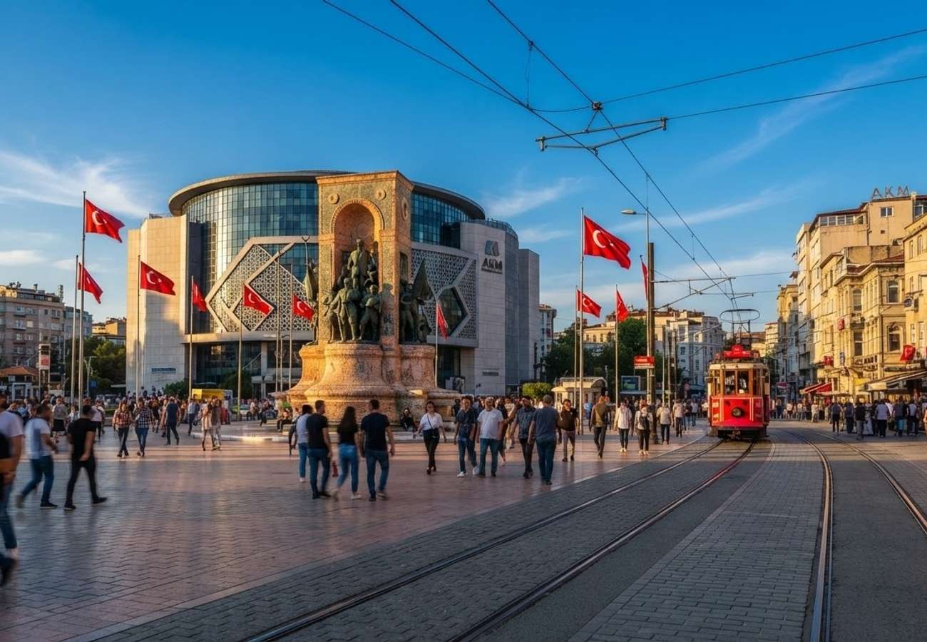
Image generated by AI
Taksim Square serves as the primary logistical compass for Istanbul's European side, acting as the critical junction between the modern business districts and the historic peninsula.
Located in the Beyoğlu district, Taksim Square is more than a landmark; it is a high-capacity transit interchange. For those arriving in Istanbul for the first time, this plaza functions as the primary orientation point for navigating the city's complex geography. Unlike the Ottoman architecture of Sultanahmet, Taksim is a modern urban center framed by the Ataturk Cultural Center and the Taksim Mosque, serving as the gateway to the 1.5-kilometer pedestrian artery of Istiklal Avenue.
Airport Connectivity and Arrival Logistics
Reaching Taksim Square from Istanbul's two primary airports requires different strategic approaches depending on traffic patterns and budget.
From Istanbul Airport (IST): The most efficient public link is the Havaist airport shuttle. The IST 19 route (and similar Taksim-bound lines) is the standard for international arrivals.
- Cost: Mid 300 to low 400 Turkish Lira per person (2026 pricing).
- Duration: 60 to 90 minutes, subject to traffic.
- Payment: Credit card or Istanbulkart via airport kiosks.
From Sabiha Gökçen Airport (SAW): Transit from the Asian side is more complex. Travelers typically utilize an airport bus to Kadıköy or the Kadıköy Kartal metro, followed by a ferry to Karaköy or Beşiktaş, and a final short taxi or bus leg uphill to Taksim. Total travel time frequently exceeds 90 minutes during peak hours.
Transit Specifications and Route Mapping
Taksim Square integrates multiple modes of transport, making it the most versatile starting point for city-wide exploration.
| Transit Mode | Line/Route | Primary Destination | Estimated Travel Time |
|---|---|---|---|
| Metro | M2 Line | Yenikapı / Levent / Maslak | 10–25 mins |
| Funicular | F1 Line | Kabataş (T1 Tram Link) | < 2 mins |
| Shuttle | Havaist IST 19 | Istanbul Airport (IST) | 60–90 mins |
| Pedestrian | Istiklal Ave | Galata Tower / Tünel | 20–30 mins walk |
| Bus | IETT Lines | Beşiktaş / Ortaköy | 10–20 mins |
Traveler Logistics Guide: Navigating Beyoğlu
From a ground-level perspective, the best way to navigate Taksim is to treat the square as a "top-of-the-hill" reference point. Most of the district slopes downward toward the Bosphorus or the Golden Horn.
The Istanbulkart Essential Do not attempt to navigate the city using single-use tickets. Acquire an Istanbulkart immediately upon arrival. This rechargeable card is mandatory for the M2 metro, F1 funicular, T1 tram, IETT buses, and city ferries. It significantly reduces per-trip costs and eliminates the need for cash transactions at turnstiles.
Optimizing the Istiklal Experience Istiklal Avenue is a pedestrian-only zone, but its utility changes by the hour:
- Morning (07:00 - 11:00): Ideal for photography and avoiding crowds; delivery vehicles are active.
- Afternoon (12:00 - 17:00): Peak shopping hours; high density of domestic and international tourists.
- Evening (18:00 - Late): Transition to a nightlife hub. Side alleys like Nevizade and Asmalı Mescit become congested with dining and bar traffic.
Taxi Protocol Taxis are abundant on Cumhuriyet Caddesi. Only utilize official yellow cabs with visible roof signs and functioning meters. Avoid "independent" drivers soliciting passengers within the square. For trips to Sultanahmet, expect costs in the moderate hundreds of Lira, though these fluctuate based on real-time congestion.
Infrastructure Impact and Regional Connectivity
The positioning of Taksim Square allows for a seamless transition between the city's three distinct zones: the historic center, the modern financial hub, and the Asian shore. The F1 funicular is a critical piece of infrastructure, as it bypasses the steep incline to Kabataş, granting rapid access to the T1 tram—the primary artery for visiting the Blue Mosque and Hagia Sophia.
The Republic Monument, unveiled in 1928, serves as the square's central landmark and the default meeting point for guided tours and local gatherings. Because this area is a focal point for national celebrations and political events, travelers should monitor local news for security restrictions on sensitive dates, as the square can be temporarily cordoned off.
Navigate the slopes of Beyoğlu with a focus on the F1 funicular to save time and energy.
Related Travel Guides
Disclaimer
This article is for informational and educational purposes only. It does not constitute legal, financial, or professional advice. While we strive to provide accurate and up-to-date information, travel policies, regulations, and conditions change rapidly. Always verify information with official sources before making travel decisions. Nomad Lawyer makes no representations about the accuracy, reliability, completeness, or suitability of the information provided. Readers should consult qualified professionals for advice specific to their circumstances. The views expressed in this article are those of the author and do not necessarily reflect the views of Nomad Lawyer.
Raushan Kumar
Founder & Lead Developer
Full-stack developer with 11+ years of experience and a passionate traveller. Raushan built Nomad Lawyer from the ground up with a vision to create the best travel and law experience on the web.
Learn more about our team →