
Walking Guide: Taksim Square to Galata Tower and Karaköy Istanbul Route 2026
A professional logistical breakdown of the 2.5km walking route from Taksim Square to Galata Tower and Karaköy, including transit options, timing, and key landmarks for 2026.

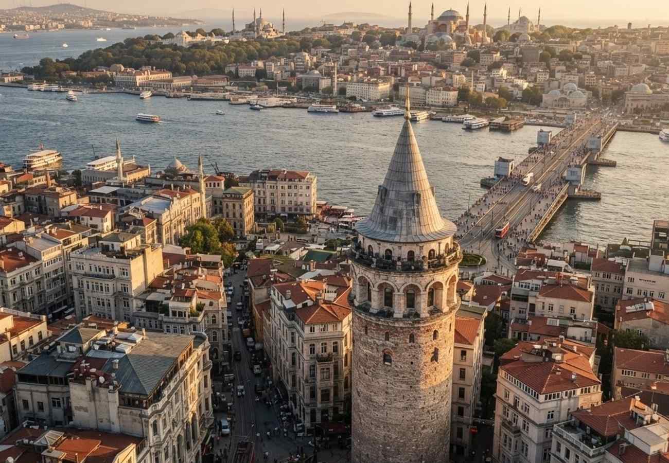
Image generated by AI
Walking from Taksim Square to Galata Tower and descending into Karaköy remains one of Istanbul’s most efficient urban explorations. This 2.5-kilometer trajectory transitions from the modern commercial hub of Beyoğlu through 19th-century passages to the historic waterfront of the Golden Horn.
Route Logistics and Timing
The journey is segmented into three distinct phases: the descent from Taksim to Tünel, the traverse to Galata Tower, and the final drop to the Karaköy waterfront. For most pedestrians, the total distance is roughly 2.5 kilometers.
- Taksim to Galata Tower: ~1.7 kilometers (20–30 minutes continuous walking).
- Total Route (including Karaköy): ~2.5 kilometers (45–60 minutes continuous walking).
- Terrain: Predominantly flat or gently downhill until Galip Dede Street, which features a steeper slope.
- Surface: A combination of smooth paving stones, historic cobblestones, and embedded tram tracks.
Phase 1: Taksim Square to İstiklal Avenue
Taksim Square serves as the primary transit anchor, accessible via the M2 metro line, city buses, and the Havaist airport shuttle. The route begins at the Republic Monument, heading south onto İstiklal Avenue.
For those prioritizing energy conservation, the nostalgic red tram operates the 1.6-kilometer stretch to Tünel. The journey takes approximately 15 to 20 minutes. Payment is integrated via the Istanbulkart system at standard city fares.
As the walk progresses, the architecture shifts from modern retail facades to fin-de-siècle apartment buildings and ornate balconies.
Phase 2: Navigating İstiklal Avenue and Tünel Square
İstiklal Avenue is a high-traffic pedestrian zone. To avoid the premium pricing of main-avenue chains, our analysis suggests ducking into side streets for traditional Turkish coffee or tea, which typically costs only slightly more than a bottled beverage from a convenience store.
Key Interest Points:
- Flower Passage (Çiçek Pasajı): A historic arcade featuring glass roofs and Ottoman-era architecture.
- Tünel Square: The terminus of the red tram and the entrance to the Tünel funicular.
The Tünel funicular, opened in the 1870s, is one of the world's oldest underground urban railways. It provides a 90-second transit link from Beyoğlu to Karaköy using the Istanbulkart. While it saves effort on the steep descent, it is primarily utilized for its historical value.
Phase 3: Galip Dede Street to Galata Tower
From Tünel Square, the route follows Galip Dede Street. This section is characterized by a higher density of musical instrument shops—specializing in guitars, drums, bağlama, and oud—and boutique cafés. The walk from the square to the base of the Galata Tower takes 10 to 15 minutes.
The path concludes at the medieval Galata Tower, after which pedestrians can descend further into Karaköy to access the T1 tram line, the Galata Bridge, and ferry terminals for Kadıköy, Üsküdar, and the Princes’ Islands.
Route Summary Data
| Segment | Distance (Approx.) | Est. Time | Key Feature |
|---|---|---|---|
| Taksim $\rightarrow$ Tünel | 1.6 km | 20-30 min | Nostalgic Red Tram |
| Tünel $\rightarrow$ Galata Tower | 0.1 - 0.3 km | 10-15 min | Galip Dede Music Shops |
| Galata $\rightarrow$ Karaköy | 0.5 - 0.7 km | 15-20 min | Waterfront/T1 Tram |
| Total | ~2.5 km | 45-60 min | Full Urban Transition |
Why This Matters: Industry Implication
From a logistical perspective, this route is a critical "transit corridor" for tourists. The integration of three different transport modes—Metro (M2), Funicular (Tünel), and Tram (T1)—within a 2.5km span makes this one of the most accessible tourist circuits in Europe.
For travelers, the real impact is the "bottleneck effect" on İstiklal Avenue. Because the street is the only primary artery connecting the M2 metro hub to the Galata district, pedestrian congestion peaks on Saturday evenings. Our analysis of the route suggests that starting the walk at 10:00 AM or immediately before sunset optimizes both photography lighting and crowd avoidance.
Industry Outlook
We expect continued pressure on the Tünel funicular's capacity as outbound tourism to Istanbul rises. Travelers should anticipate stricter crowd management around the Galata Tower base. The shift toward "slow travel" means more visitors are opting for the full walk over the funicular, increasing the economic footprint of the small boutiques and instrument shops along Galip Dede Street.
A seamless blend of 19th-century engineering and modern urban flow.
Related Travel Guides
Disclaimer
This article is for informational and educational purposes only. It does not constitute legal, financial, or professional advice. While we strive to provide accurate and up-to-date information, travel policies, regulations, and conditions change rapidly. Always verify information with official sources before making travel decisions. Nomad Lawyer makes no representations about the accuracy, reliability, completeness, or suitability of the information provided. Readers should consult qualified professionals for advice specific to their circumstances. The views expressed in this article are those of the author and do not necessarily reflect the views of Nomad Lawyer.
Kunal K Choudhary
Co-Founder & Contributor
A passionate traveller and tech enthusiast. Kunal contributes to the vision and growth of Nomad Lawyer, bringing fresh perspectives and driving the community forward.
Learn more about our team →