
Istanbul Bosphorus Transit Guide 2026: Navigating Public Ferries, Routes, and Waterfront Logistics
A comprehensive logistics guide to navigating Istanbul's Bosphorus strait, detailing Şehir Hatları ferry operations, Istanbulkart integration, and strategic waterfront transit planning for 2026.

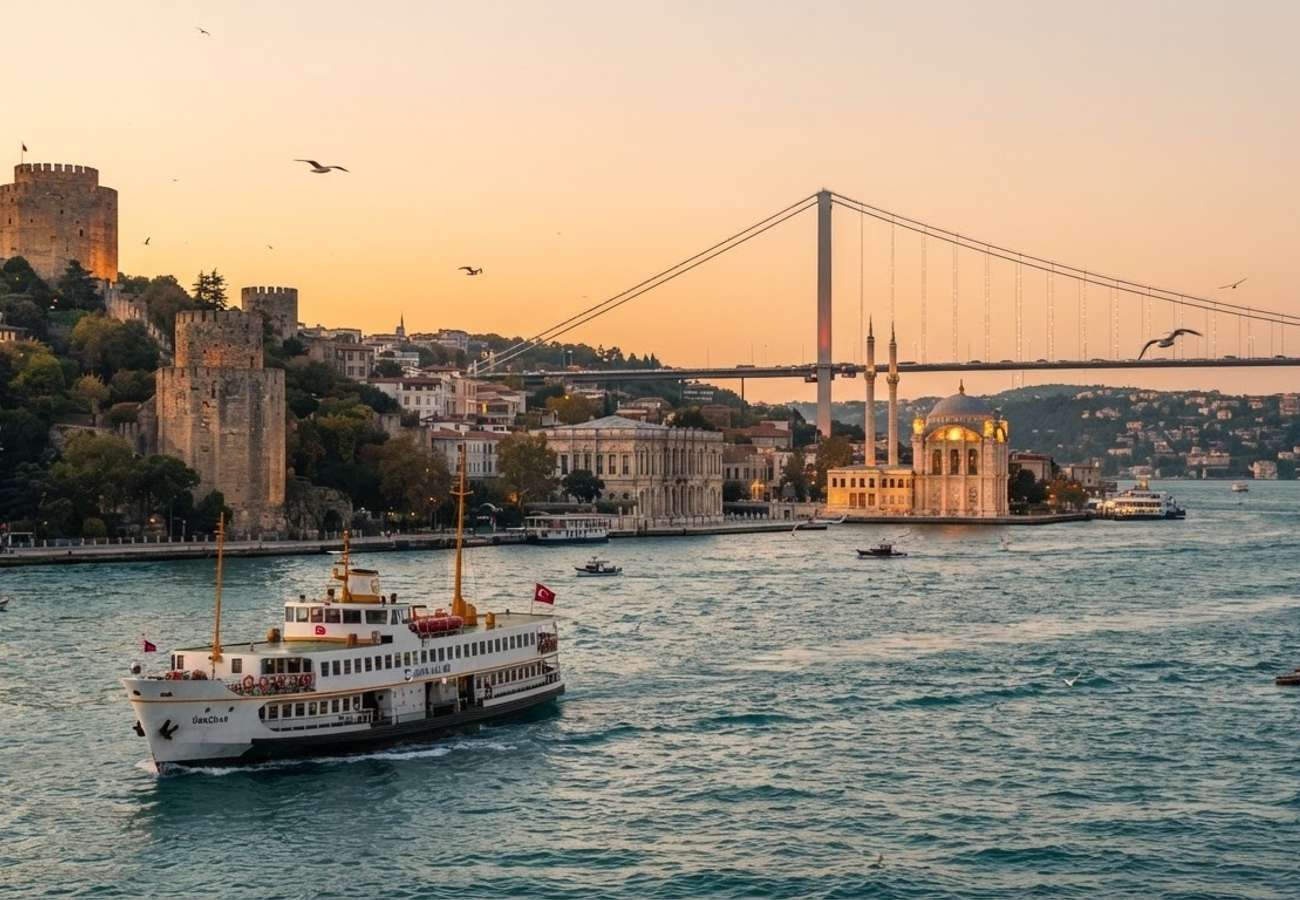
Image generated by AI
The 30-kilometer Bosphorus strait remains the primary transit artery of Istanbul, connecting the Black Sea to the Sea of Marmara. For 2026, navigating this divide requires a strategic mix of municipal ferry usage and localized shoreline planning to avoid severe coastal traffic congestion.
Bosphorus Maritime Transit Operations
The Bosphorus is not merely a tourist attraction but a functional transit corridor separating the European and Asian shores. The European side is defined by the northeast corridor of Beşiktaş, Ortaköy, Arnavutköy, Bebek, and Rumeli Hisarı. The Asian side is anchored by Üsküdar and Kuzguncuk.
The most efficient method of transit is the municipal ferry system operated by Şehir Hatları. These vessels function as floating city buses, linking major hubs including Eminönü, Karaköy, Beşiktaş, Üsküdar, and Kadıköy. Access to these services is streamlined via the Istanbulkart, the city's universal transit card, which is mandatory for cost-effective travel.
Ferry Route and Service Specifications
| Route Type | Primary Terminals | Approx. Duration | Best Use Case |
|---|---|---|---|
| Commuter Crossing | Karaköy $\rightarrow$ Beşiktaş | 20 Minutes | Rapid transit; views of Galata Tower & Dolmabahçe |
| Short Bosphorus Tour | Eminönü (Round Trip) | 2 Hours | Half-day sightseeing; high-density landmark views |
| Long Bosphorus Tour | Eminönü $\rightarrow$ Anadolu Kavağı | 6 Hours | Full-day excursion; includes Black Sea proximity |
| Intercontinental | Eminönü/Karaköy $\rightarrow$ Üsküdar | 15-25 Minutes | European to Asian shore transition |
Waterfront Logistics and Site Access
Navigating the European waterfront requires a segmented approach. Attempting to walk the entire stretch from Dolmabahçe Palace to Rumeli Fortress is impractical for most travelers due to the distance and terrain.
Dolmabahçe Palace & Beşiktaş Hub Located between Kabataş and Beşiktaş, Dolmabahçe Palace serves as a primary anchor for the European shore. Transit to the palace is best achieved via the tram or funicular. From the palace, travelers should utilize the Beşiktaş Ferry Terminal for crossings to Üsküdar and Kadıköy.
The Northern Village Corridor North of Beşiktaş, the coastline transitions into residential zones. Ortaköy is a critical point of interest, home to the Büyük Mecidiye (Ortaköy) Mosque. Because main tourist ferries do not stop directly at Ortaköy, the most reliable transit methods are taxis or buses from Beşiktaş. However, coastal road traffic is frequently congested on weekends, making a 30-to-40-minute walk from Beşiktaş a viable alternative. Further north lies Arnavutköy, characterized by 19th-century wooden mansions and steep side streets.
Traveler Logistics Guide: Ground-Level Navigation
From a ground-level perspective, the best way to navigate the Bosphorus is to avoid private yacht charters sold at Eminönü and Kabataş, which often lack transparent pricing and fixed schedules.
Optimal Connection Strategies:
- The "Mini-Cruise" Hack: Instead of paying for a tour, use a standard commuter ferry from Karaköy to Beşiktaş. This provides the same visual data (Galata Tower, Bosphorus bridges) at a fraction of the cost.
- Timing the Water: To avoid the extreme congestion of the morning and late afternoon commuter rush, schedule your crossings for midday.
- The Istanbulkart Priority: Do not attempt to purchase single-use tickets at every pier. Ensure your Istanbulkart is topped up at the yellow kiosks located at every major terminal to avoid queuing at ticket windows.
- Customs and Policy: While there are no customs checks between the European and Asian sides of the city, always carry a digital copy of your passport when utilizing public transit in high-security areas near government buildings or palaces.
Infrastructure and Regional Impact
The reliance on Şehir Hatları ferries reduces the burden on the July 15 Martyrs Bridge and other Bosphorus crossings, which are prone to gridlock. The integration of the Istanbulkart across ferries, trams, and the metro has created a seamless multimodal network that allows tourists to bypass the "tourist traps" of private boating. The continued restoration of waterfront districts like Arnavutköy suggests a shift toward boutique, decentralized tourism, moving visitors away from the saturated center of Sultanahmet and toward the residential Bosphorus shoreline.
Navigate the strait like a local: prioritize the municipal fleet and the Istanbulkart.
Related Travel Guides
Disclaimer
This article is for informational and educational purposes only. It does not constitute legal, financial, or professional advice. While we strive to provide accurate and up-to-date information, travel policies, regulations, and conditions change rapidly. Always verify information with official sources before making travel decisions. Nomad Lawyer makes no representations about the accuracy, reliability, completeness, or suitability of the information provided. Readers should consult qualified professionals for advice specific to their circumstances. The views expressed in this article are those of the author and do not necessarily reflect the views of Nomad Lawyer.
Preeti Gunjan
Contributor & Community Manager
A passionate traveller and community builder. Preeti helps grow the Nomad Lawyer community, fostering engagement and bringing the reader experience to life.
Learn more about our team →