
Philippines and Asian Cities Adopt Data-Driven Destination Governance to Combat Tourism Overload 2026
Secondary cities across Asia, led by the Philippines, are implementing Data-Driven Destination Governance (DDDG) to prevent infrastructure collapse and environmental decay caused by rapid tourism growth.

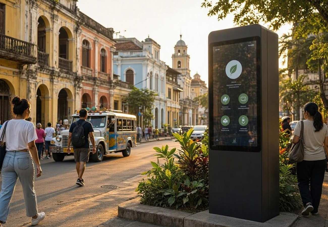
Image generated by AI
[Manila, October 10, 2026] — Secondary and tertiary cities across Asia are abandoning traditional tourism management in favor of Data-Driven Destination Governance (DDDG) to prevent the collapse of public infrastructure and the displacement of local residents.
This systemic shift moves municipal administration away from "after-the-fact" reactive planning. Instead, local governments are now integrating hyperlocal poverty surveys, real-time cellular tracking, and predictive analytics directly into their capital expenditure and zoning laws. The initiative aims to solve the "externalities" of unchecked growth—specifically the spike in local living costs, environmental degradation, and the failure of basic utilities when tourist volumes exceed city limits.
The Catalyst for Structural Change
The move toward DDDG is driven by a failure in conventional destination management. Historically, cities relied on aggregate visitation totals—simple headcounts that failed to show where people were going or how they were impacting specific neighborhoods. This led to a crisis in emerging Asian hubs where low-cost regional aviation and digital payment systems drove massive crowds into cities with underdeveloped "trunk" infrastructure.
The institutional backbone of this transition is the United Nations Statistical Commission, which recently endorsed the Statistical Framework for Measuring the Sustainability of Tourism (SF-MST). This framework, developed alongside UN Tourism and the International Labour Organization, merges standard economic accounts with environmental data. For the first time, metrics for water stress, greenhouse gas footprints, and municipal waste are being used to determine whether a city should approve new hotel permits or restrict visitor access to certain zones.
Impacted Regions and Infrastructure
The shift primarily affects "secondary" destinations—cities that are not primary capitals but are seeing explosive growth. These areas are most vulnerable to "tourism-induced inflation," where the cost of food and housing rises beyond the reach of local citizens.
| Impact Area | Traditional Method (Old) | DDDG Method (New) | Primary Goal |
|---|---|---|---|
| Fiscal Planning | General tourism tax spend | Targeted grants via CBMS data | Poverty reduction |
| Visitor Flow | Static estimated capacity | Real-time cellular telemetry | Prevent overcrowding |
| Environmental | Annual impact reports | Dynamic carrying capacity | Ecosystem preservation |
| Local Economy | External corporate profit | Community-run cooperatives | Inclusive wealth distribution |
What This Means for Travelers
For the average tourist, the implementation of DDDG will result in a more controlled, though potentially more restricted, travel experience. The era of "unlimited" access to hidden gems is ending in favor of scientific sustainability.
Passenger and Visitor Impact:
- Dynamic Access Limits: Travelers may encounter real-time "capacity alerts" or booking requirements for specific districts based on current cellular density.
- Shift in Accommodations: A move away from large external hotel chains toward certified community-run homestays and eco-guides, as cities prioritize local ownership.
- Increased Sustainability Fees: Expect more transparent, destination-specific levies used directly for water and waste management in the specific ward you are visiting.
- Better Infrastructure: While access may be tighter, the quality of transport and utilities in secondary cities should improve as public funds are allocated based on actual usage data rather than guesses.
The Role of Hyper-Local Intelligence
A critical component of this new governance is the Community-Based Monitoring System (CBMS). Unlike national surveys that mask poverty in small pockets, CBMS uses household-level censuses to identify exactly which families are struggling.
By mapping these "statistical blind spots," municipal planners can now link underemployed agricultural workers in scenic corridors directly to eco-guide certifications or micro-grants. This prevents the common trend where external investors capture all the profit while locals bear the cost of noise, trash, and inflation. Furthermore, by monitoring "consumer baskets" (the cost of basic goods), cities can trigger early warning systems to stop land speculation before locals are priced out of their own neighborhoods.
Spatial Analytics and Environmental Limits
To protect fragile landscapes, cities are deploying Geographic Information Systems (GIS) combined with passive cellular network telemetry. By analyzing anonymized data from base transceiver stations (BTS), authorities can track crowd volumes and "dwell times" without installing intrusive cameras.
This data is layered over environmental maps showing soil stability and river hydrology. If a specific montane ecosystem reaches its "operational threshold," the city can dynamically divert traffic to other areas, ensuring that the physical environment is not permanently damaged by foot traffic.
FAQ: Sustainable Tourism Governance 2026
Will I need a special permit to visit secondary cities in Asia? Not necessarily, but you may find that certain high-traffic zones now require a pre-booked time slot or a "sustainability pass" to manage real-time crowd density.
How does cellular tracking affect my privacy? The system uses passive, anonymized telemetry from mobile towers. It tracks aggregate movement patterns (crowd volume) rather than identifying individual users.
Why are hotel prices changing in these regions? Cities are implementing zoning overlays to discourage massive external resorts and encourage smaller, community-owned stays to ensure tourism revenue stays within the local economy.
What is "Dynamic Carrying Capacity"? It is a real-time limit on visitors based on current environmental conditions (e.g., water levels or waste capacity) rather than a fixed number of people per day.
The era of blind growth is over; Asia is now coding sustainability into its city maps.
Related Travel Guides
Disclaimer
This article is for informational and educational purposes only. It does not constitute legal, financial, or professional advice. While we strive to provide accurate and up-to-date information, travel policies, regulations, and conditions change rapidly. Always verify information with official sources before making travel decisions. Nomad Lawyer makes no representations about the accuracy, reliability, completeness, or suitability of the information provided. Readers should consult qualified professionals for advice specific to their circumstances. The views expressed in this article are those of the author and do not necessarily reflect the views of Nomad Lawyer.
Raushan Kumar
Founder & Lead Developer
Full-stack developer with 11+ years of experience and a passionate traveller. Raushan built Nomad Lawyer from the ground up with a vision to create the best travel and law experience on the web.
Learn more about our team →