
California Highway 1 Reopening Film Big Sur Travel Guide 2026

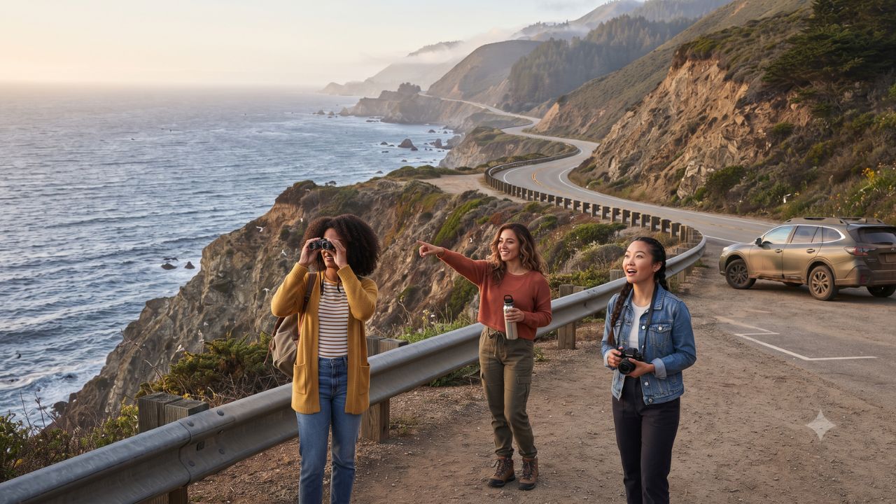
Following a three-year closure caused by massive coastal rockslides near the Monterey and San Luis Obispo county border, California's iconic Highway 1 has fully reconnected one of the world's most dramatic coastal drives. To mark this monumental restoration, a new 30-minute cinematic short film created by pioneering time-lapse filmmaker Louie Schwartzberg and produced by Moving Art is inviting global travelers to experience the coastal route not as a high-speed bucket-list checklist, but as a fragile living ecosystem requiring care and respect.
Commissioned by Visit California, the documentary utilizes state-of-the-art time-lapse photography and narrative storytelling to illuminate the intimate intersections of coastal fog, ancient redwoods, migrating gray whales, and resilient roadside communities. The production arrives at a pivotal moment, offering an inspiring blueprint for how travelers can navigate the reopened Central Coast corridor sustainably.
Restoring the Central Coast Highway 1 Corridor
The reopening of Highway 1 restores continuous passage through Big Sur, allowing motorists, cyclists, and road trippers to travel seamlessly between Carmel-by-the-Sea and Cambria.
| Highway 1 Sector | Geographic Highlights | Signature Stops & Features | Traveler Advice |
|---|---|---|---|
| Northern Gateway (Monterey to Big Sur) | Coastal headlands & granite sea cliffs | Bixby Creek Bridge, Point Lobos State Natural Reserve | Use morning transit shuttles to reduce turnout crowding |
| Central Big Sur Corridor | Ancient coast redwoods & ocean vistas | Pfeiffer Big Sur State Park, McWay Falls | Reserve state park day-use parking passes in advance |
| Reopened Southern Border Zone | Dramatic engineering repair zones & slides | Ragged Point, Gorda, restored highway sectors | Observe reduced speed limits and active road monitors |
| San Luis Obispo Coastline | Marine estuaries & rolling coastal bluffs | Piedras Blancas Elephant Seal Rookery, San Simeon | Park only in paved, designated wildlife viewing lots |
The film captures the immense physical forces that shape this edge of the continent. Decades of heavy winter storms and geological fault movement have regularly triggered landslides along the Santa Lucia Mountains, underscoring the engineering achievement behind stabilizing this scenic roadway.
Louie Schwartzberg's Cinematic Vision of Coastal Rhythms
Renowned director Louie Schwartzberg brings his signature high-definition time-lapse craft to the Moving Art production. By condensing hours of atmospheric changes into fluid cinematic sequences, the 30-minute film reveals subtleties that typical motorists miss when speeding past viewpoints.
Audiences witness marine layer fog creeping through old-growth redwood canopies, tidal currents swirling around offshore kelp forests, and celestial night skies framing the historic Point Sur Lighthouse. The documentary is being distributed internationally across digital streaming platforms, regional cultural centers, and film festivals to encourage travelers to slow their journey, stay multiple nights in coastal settlements, and invest directly in independent seaside businesses.
What Makes Big Sur and the Central Coast Distinctive
The geographic collision where the Santa Lucia Range plunges directly into the Pacific Ocean creates one of the most biodiverse marine and terrestrial corridors on Earth. The offshore waters form the Monterey Bay National Marine Sanctuary, providing feeding grounds for southern sea otters, harbor seals, and migrating humpback whales.
Onshore, coastal microclimates nurture the southernmost groves of coast redwoods (Sequoia sempervirens), towering trees sustained entirely by maritime fog moisture during summer months. Preserved through networks managed by California State Parks, these protected reserves offer hiking trails through lush redwood canyons and panoramic bluff viewpoints.
Visitor Insider Tips
- Monitor Live Highway Conditions with Caltrans QuickMap: Coastal weather can trigger sudden rockfall or temporary lane controls. Check the Caltrans QuickMap platform or call the regional highway hotline before departing Monterey or San Luis Obispo.
- Use Designated Turnouts Exclusively: Never stop your vehicle in traffic lanes or park on soft dirt shoulders to snap photos of Bixby Bridge or coastal waves. Pull completely into paved, designated scenic turnouts to maintain roadway safety and protect fragile coastal vegetation.
- Schedule Midweek Drives for Quiet Views: Friday afternoon through Sunday evening sees peak tourist congestion along narrow two-lane highway curves. Embark on your Big Sur drive between Tuesday morning and Thursday afternoon to enjoy uncrowded turnouts and peaceful trailheads.
- Fill Fuel Tanks in Monterey or Cambria: Fuel stations along the central 90-mile Big Sur stretch are few and charge significantly higher rates due to remote fuel delivery logistics. Top off your vehicle tank before entering the remote highway corridor.
- Pack Out All Personal Waste: Big Sur operates under strict zero-waste and leave-no-trace protocols. Carry reusable water containers, avoid single-use plastics, and dispose of trash only in secure, wildlife-proof receptacles in designated state park day-use areas.
Cultural and Environmental Context
The communities lining California's Central Coast—ranging from native Esselen and Salinan tribal descendants to generational ranchers, artists, and park stewards—have long advocated for low-impact visitor ethics. Over-tourism, illegal dispersed camping, and roadside litter have put pressure on sensitive watersheds and cliffside habitats in recent years.
The reopening of Highway 1 accompanied by the Moving Art documentary represents an intentional effort to shift travel behavior. By encouraging visitors to dine at locally owned roadhouses, hire regional interpretive guides, respect fire restrictions, and remain on marked footpaths, tourism directly funds environmental restoration and emergency infrastructure across coastal California.
FAQ: Driving California Highway 1 in 2026
Is Highway 1 through Big Sur fully open to through traffic?
Yes, following extensive repairs after a three-year closure near the Monterey and San Luis Obispo county line, the route is open to continuous travel.
What is the runtime and focus of the new Highway 1 documentary?
The 30-minute cinematic film, directed by Louie Schwartzberg and produced by Moving Art, focuses on coastal ecology, time-lapse natural rhythms, and mindful travel.
Are advance reservations required to visit Big Sur state parks?
While general highway driving requires no permit, popular day-use areas like Point Lobos State Natural Reserve and Julia Pfeiffer Burns State Park recommend booking vehicle reservations online.
Where should road trippers base themselves along the Central Coast?
Carmel-by-the-Sea and Monterey provide northern anchors, while Cambria, San Simeon, and Morro Bay offer comfortable accommodations along the southern corridor.
Related Travel Guides
- LOT Polish Airlines Flight LO155 Triggers Accidental Squawk 7500 Hijacking Alert Over Mediterranean: How One Transponder Error Scrambled Fighter Jets From Three Nations
- Hungary Forecasts Over 200,000 Chinese Visitors in 2026 as Tourism Shifts to Southern Wine Regions
- Goa International Charter Season 2026–27 Expands with New Flight Routes from UK, Russia, and CIS Markets
This article is for informational purposes. Flight routes, passenger regulations, visa rules, and transit advisories are subject to change by airlines and aviation authorities. Readers are advised to verify schedules and travel documentation with relevant carriers and border agencies before departure.
Related Stories

Aeroméxico and Delta Expand US Network with 42 Weekly Flights to California, Florida and Oregon in 2027
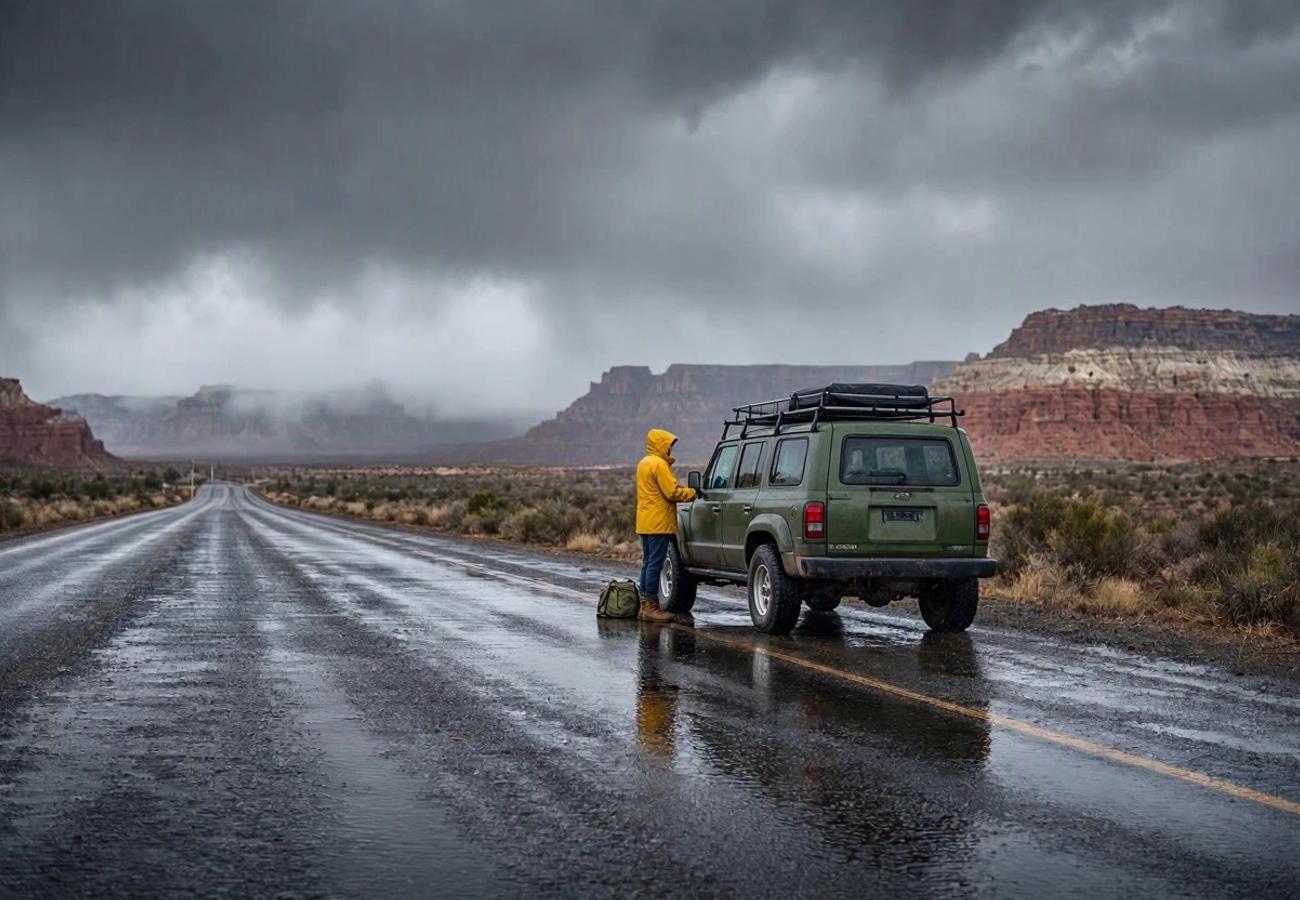
Southern California and Southwest US Face Flash Flood Risks During Halloween 2026