
UK Met Office Issues Yellow Thunderstorm Warning: Travel and Flood Risks for England and Wales 2026
A Met Office yellow thunderstorm warning is triggering heightened risks of flash flooding and transport disruption across England and Wales as slow-moving, intense rainfall systems move north through August 2026.

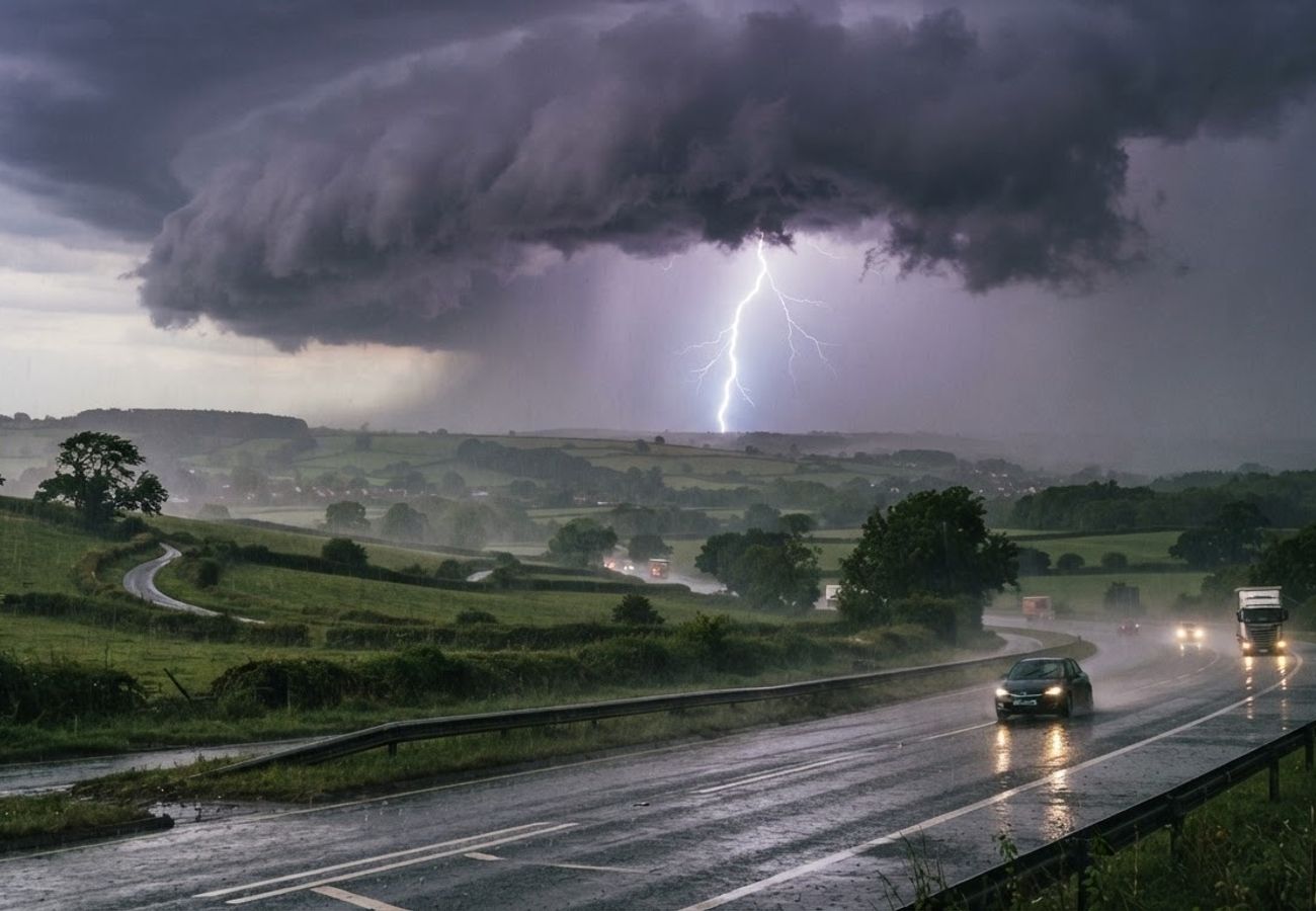
Image generated by AI
Met Office yellow thunderstorm warnings are currently in effect for parts of central and southern Britain, signaling a period of intense downpours and lightning that threaten to disrupt road, rail, and air networks.
The current weather pattern is driven by warm, humid air fueling bands of heavy rain moving north across England and Wales. These systems are characterized as slow-moving, which significantly increases the probability of intense rainfall concentrating over specific locations for extended periods.
Critical Weather Timeline and Impacts
The most severe activity is concentrated around Wednesday and Thursday. During this window, the Met Office warns of torrential downpours, frequent lightning, hail, and severely reduced visibility.
The primary risks associated with this yellow warning include:
- Surface Water Flooding: Rapid accumulation of water in urban areas and along transport corridors.
- Hazardous Driving: Reduced visibility and standing water on motorways and major A-roads.
- Rail Instability: Potential for flooding in cuttings and low-lying track sections, leading to speed restrictions.
- Aviation Delays: Ground operations pauses and flight delays due to strong convective activity and lightning near airports.
The "Dry Spell" Paradox
A critical factor in the current flood risk is the preceding weather. Much of England and Wales experienced a prolonged stretch of warm, dry conditions throughout August.
According to government dry weather updates, parched soils often become hydrophobic, meaning intense rainfall produces rapid runoff rather than soaking into the ground. This atmospheric shift increases the likelihood of flash floods in urban environments where drainage systems are already under pressure. Environment Agency mapping has already identified several flood alerts and isolated warnings across England.
Logistics and Transport Breakdown
| Sector | Primary Risk Factor | Expected Impact |
|---|---|---|
| Road | Surface spray & ponding | Slower journeys, temporary closures of A-roads/motorways |
| Rail | Drainage failure in cuttings | Precautionary speed limits, timetable changes |
| Air | Convective activity/Lightning | Paused ground operations, arrival/departure delays |
| Urban | Blocked culverts/drains | Localised flash flooding in low-lying areas |
Why This Matters: Industry Analysis
From a logistical perspective, the "Yellow" designation is often underestimated by travelers. While it indicates low to medium disruption on a national scale, the impact is hyper-local. Our analysis of this weather pattern suggests a "lottery" effect: one community may face severe flash flooding and road closures while a neighboring town remains dry.
For the aviation sector, the risk is not just the rain, but the convective energy. Lightning strikes—similar to the recent disruptions seen at Luton—can freeze ground handling and refueling operations instantly, creating a ripple effect of delays across the UK airspace.
For road users, the transition from a drought-affected August to intense thundery rain creates a high-risk environment for hydroplaning. The combination of oil buildup on dry roads and sudden standing water significantly reduces tire grip, making major transit arteries more dangerous than during steady rain.
Forward Outlook
The unsettled atmospheric pattern is expected to persist through Friday and into the weekend. The breakdown of previous high-pressure systems has opened the door for Atlantic low-pressure systems to collide with moist air over the UK.
While drier intervals are expected, the potential for short-notice warnings remains high. Travelers should monitor real-time radar imagery rather than relying on 24-hour forecasts, as the convective nature of these storms makes pinpointing exact timing and location difficult.
Expect volatile transit conditions across the UK through the weekend.
Related Travel Guides
Disclaimer
This article is for informational and educational purposes only. It does not constitute legal, financial, or professional advice. While we strive to provide accurate and up-to-date information, travel policies, regulations, and conditions change rapidly. Always verify information with official sources before making travel decisions. Nomad Lawyer makes no representations about the accuracy, reliability, completeness, or suitability of the information provided. Readers should consult qualified professionals for advice specific to their circumstances. The views expressed in this article are those of the author and do not necessarily reflect the views of Nomad Lawyer.
Raushan Kumar
Founder & Lead Developer
Full-stack developer with 11+ years of experience and a passionate traveller. Raushan built Nomad Lawyer from the ground up with a vision to create the best travel and law experience on the web.
Learn more about our team →