
Met Office Yellow Thunderstorm Warning 2026: UK Travel Risks and Flood Alerts for England and Wales
A Met Office yellow thunderstorm warning triggers high risks of flash flooding and transport disruption across England and Wales as summer ends in August 2026.

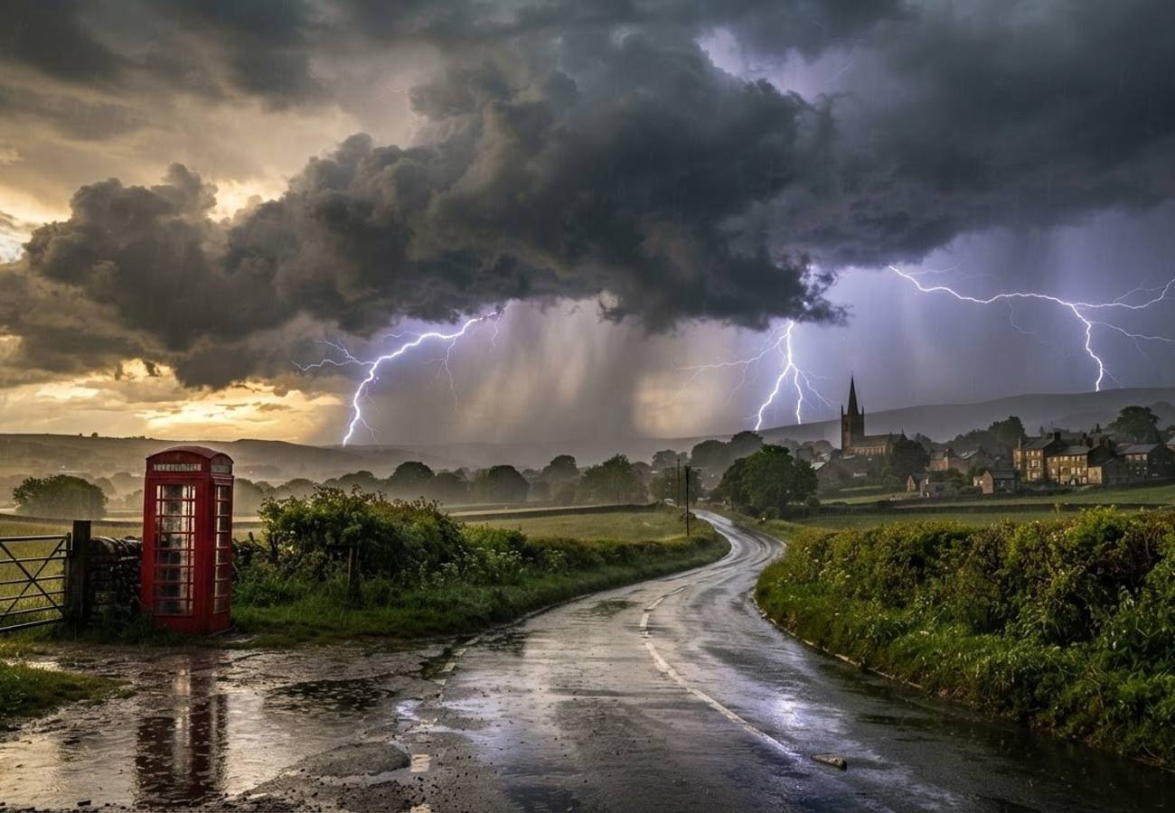
Image generated by AI
A Met Office yellow thunderstorm warning is currently triggering high risks of intense downpours and lightning across England and Wales, threatening significant disruption to road, rail, and air corridors through Thursday.
The transition from a dry summer to an unsettled atmospheric regime has created a volatile environment. Warm, humid air is colliding with an unstable atmosphere, sparking convective storms that are projected to sweep from the south toward northern England starting Tuesday night and continuing through Thursday.
The Shift in UK Weather Patterns
The current volatility marks a breakdown of the high-pressure systems that dominated the season. According to the Met Office, this shift allows Atlantic systems to push further inland, creating a primed environment for sudden, heavy rain and frequent lightning.
Under the yellow warning classification, impacts are not widespread but can be severe in localized pockets. The primary risk involves "slow-moving cells"—storm clusters that hover over a single area—leading to rapid rainfall accumulation. For the visitor or resident, this means one neighborhood may experience severe flash flooding while another a few miles away remains completely dry.
Transport Vulnerabilities and Infrastructure Risk
The impact on UK infrastructure during these events is often concentrated at specific "pinch points."
Road and Motorway Impacts
Surface water builds rapidly during these thunderstorms, leading to immediate visibility drops and hazardous standing water. High-risk zones include:
- Low-lying underpasses and dips on major A-roads.
- Motorway junctions with inadequate drainage.
- Rural minor roads, where field run-off often deposits mud and debris, creating hazards for cyclists and motorists.
Rail and Air Disruption
While total network shutdowns are rare during yellow warnings, the risk of short-notice alterations is high. Waterlogged cuttings and signaling failures are common outcomes of intense rainfall. For those traveling through the Midlands or Northern England, cross-country routes are particularly susceptible to delays.
In the aviation sector, hubs in southern England and the Midlands may experience temporary ground handling delays. Lightning in the vicinity of runways and shifting wind conditions often slow operations for domestic and short-haul flights.
Environmental Impact and Flood Alerts
The Environment Agency has synchronized its efforts with the Met Office, issuing multiple flood alerts and at least one formal flood warning. The joint flood forecast indicates that "flashy" small rivers—those that respond almost instantly to rain—are at the highest risk.
Specific concerns have been raised for:
- Lancashire, Surrey, and South London: Areas already seeing heavy downpours this week.
- Urban Catchments: Densely paved town centers where drainage systems are easily overwhelmed.
The Flood Forecasting Centre notes that these events can cause isolated road closures that ripple through the wider transport network, even if the storm itself is short-lived.
Visitor Insider Tips for Navigating UK Storms
Traveling through the UK during a yellow warning requires a shift in planning. To avoid being stranded, follow these local insights:
- The "Pinch Point" Rule: If your route involves low-lying underpasses or coastal A-roads, have a secondary route mapped. Local residents avoid these "dips" during heavy rain as they become instant ponds.
- Real-Time Monitoring: Do not rely on general daily forecasts. Use the Met Office radar app for 15-minute updates to see exactly where storm cells are moving.
- The "Floodwater" Danger: UK roads can hide deep potholes or open manhole covers under floodwater. Local guidance is absolute: never drive through standing water, as it is often deeper than it appears.
- Rail Contingencies: If traveling via the Midlands during a warning, check the National Rail "Live Journey Planner" 60 minutes before departure.
Long-Term Tourism Outlook
This pattern of volatile, late-summer weather underscores a growing trend toward "unsettled regimes" in the UK. For the tourism industry, this necessitates a move toward more flexible booking systems and better real-time communication between weather agencies and transport providers. The ability of the UK to manage these localized "flash" events without systemic collapse remains a key factor in maintaining its attractiveness as a year-round destination.
Stay vigilant and monitor local river levels before embarking on rural excursions.
Related Travel Guides
Disclaimer
This article is for informational and educational purposes only. It does not constitute legal, financial, or professional advice. While we strive to provide accurate and up-to-date information, travel policies, regulations, and conditions change rapidly. Always verify information with official sources before making travel decisions. Nomad Lawyer makes no representations about the accuracy, reliability, completeness, or suitability of the information provided. Readers should consult qualified professionals for advice specific to their circumstances. The views expressed in this article are those of the author and do not necessarily reflect the views of Nomad Lawyer.
Raushan Kumar
Founder & Lead Developer
Full-stack developer with 11+ years of experience and a passionate traveller. Raushan built Nomad Lawyer from the ground up with a vision to create the best travel and law experience on the web.
Learn more about our team →