Why Hikers Ignore Warnings on Knife-Edge Ridges: The Psychology of High-Exposure Trails in 2026

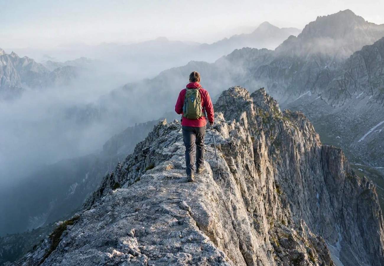
Image generated by AI
Many experienced hikers view danger signs on exposed ridges not as directives to stop, but as reminders intended for less capable tourists. This psychological disconnect often leads travelers to push forward onto granite spines barely wider than a boot sole, even when weather conditions turn lethal.
The High-Stakes Draw of the Knife-Edge
Knife-edge ridges represent a specific niche in modern outdoor culture, offering a potent mix of extreme exposure and a high-consequence sense of commitment. These routes are not always technically demanding for a practiced scrambler, but the psychological toll of a continuous void on either side is immense.
A primary example is the Knife Edge on Mount Katahdin in Maine. This 1.1-mile granite arête connects Pamola Peak and Baxter Peak, narrowing to approximately three feet in certain sections. With drops exceeding a thousand feet on both sides, it is recognized as one of the most exposed maintained trails in the eastern United States. For those moving in ideal conditions, the traverse typically requires between 90 minutes and three hours.
Similar high-exposure experiences are found on the northeast ridge of Capitol Peak in Colorado and various arêtes across New Zealand and Europe. The allure is often amplified by social media; images of hikers straddling narrow rock spines above a sea of clouds create a narrative of achievement that can override a hiker's survival instinct when conditions shift.
The Mechanics of Overconfidence
Why do hikers ignore metal placards and guidebook warnings? Research into incident patterns suggests several psychological traps:
- The Capability Gap: Experimental studies show that warnings framed generally—referring to "visitors" or "hikers"—are often dismissed by those who perceive themselves as more skilled than the average person.
- The Consistency Effect: Once a summit is established as the primary goal, hikers become reluctant to abandon the plan. This leads to the minimization of new, negative data, such as building thunderstorms or slower-than-expected progress.
- Social Pressure: In group settings, less confident members often continue forward to avoid being the one to suggest a retreat, creating a dangerous momentum where the group's collective confidence is an illusion.
High-Exposure Route Comparison
| Location | Feature | Typical Width | Estimated Time | Primary Risk |
|---|---|---|---|---|
| Mount Katahdin, Maine | Knife Edge | ~3 feet (narrowest) | 90 mins - 3 hours | High wind/No railings |
| Capitol Peak, Colorado | Northeast Ridge | Variable/Narrow | Varies by hiker | Mental fatigue/Exposure |
| Angels Landing, Utah | Ridge Trail | Narrow/Steep | 2-4 hours | Crowds/Weather shifts |
Visitor Insider Tips
If you are planning to tackle a high-exposure ridge, these local insights can mean the difference between a successful summit and a rescue operation:
- The "Point of No Return" Rule: On routes like Katahdin, recognize that once you pass the Chimney between Pamola and Chimney Peak, reversing course is significantly more complex and time-consuming. Decide to commit or retreat before this landmark.
- Surface Awareness: Be wary of "verglas" (a thin layer of ice) or wet lichen on granite. These can instantly remove friction from holds that appear secure.
- The Wind Threshold: If gusts are strong enough to destabilize your balance while standing still, do not step across gaps. High-altitude winds can act as a physical force pushing you off-balance.
- Timing the Crowd: To avoid the "social pressure" trap and the dangers of overcrowding on narrow spines, start your ascent at dawn. This reduces the likelihood of being trapped behind a slower party in a section where passing is impossible.
- Gear Check: Ensure your footwear has high-friction rubber soles specifically designed for granite. Avoid heavy boots with stiff soles that don't allow you to "feel" the rock.
Cultural and Environmental Context
The intersection of "bucket-list" tourism and fragile alpine environments has created a tension between accessibility and safety. As these ridges become more photographed, the pressure on local search and rescue (SAR) teams increases.
According to guidelines from the National Park Service (NPS), weather is the most decisive factor in ridge safety. In winter or spring, hikers face the invisible danger of cornices—overhanging snow shelves that can collapse under a person's weight, dropping them down the slope. This environmental hazard is often invisible to the untrained eye, making the advice to stay well back from the edge a matter of survival.
Furthermore, the disorientation caused by "whiteouts" or low cloud cover can erase visual contrast, making it impossible to distinguish the ridge line from the sky. In these moments, the ridge transforms from an exciting challenge into a trap. For more on preserving these sensitive areas and staying safe, consult the UNESCO World Heritage Centre for insights on protecting high-altitude ecosystems.
FAQ: Visiting Exposed Ridges 2026
What is the best time to visit high-exposure ridges? Early summer or early autumn, typically during windows of stable, high-pressure weather. Avoid spring due to cornice risks and late autumn due to unpredictable verglas and ice.
Do I need specialized gear for a knife-edge traverse? While many are "maintained trails," high-traction approach shoes are highly recommended. Carry a lightweight windbreaker and a satellite communication device, as cell service is often nonexistent on granite spines.
How do I know when to turn back? Turn back if you see building thunderstorms, experience sudden wind gusts that affect your balance, or if any member of your party expresses genuine fear. The summit will always be there next year.
Is it safe for solo travelers? Solo hiking on knife-edge ridges is significantly higher risk. If you do go solo, leave a detailed itinerary with a trusted contact and use a GPS tracker.
The mountain does not care about your bucket list; it only respects your judgment.
Related Travel Guides
This article is for informational purposes. Flight routes, passenger regulations, visa rules, and transit advisories are subject to change by airlines and aviation authorities. Readers are advised to verify schedules and travel documentation with relevant carriers and border agencies before departure.
Related Stories

Africa World Airlines Apologises After Kumasi-Accra Flight Chaos Strands Passengers in 2026
US State Department Worldwide Caution Alert 2026: Impact on Middle East Aviation and Travel Insurance