Virginia Joins North Carolina and More US States as 24 to 28 September Coastal Storm Raises Flooding, Beach Erosion and Travel Concerns

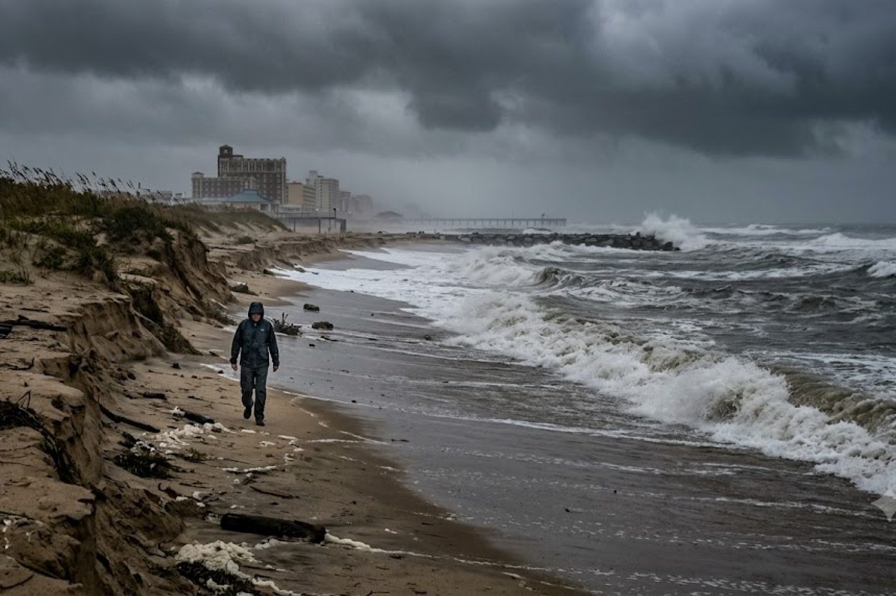
Image generated by AI
Coastal surf heights in Virginia Beach are projected to climb from 2–4 feet on Monday to a peak of 8–12 feet by Thursday, representing a 200% to 500% increase in wave energy over a 96-hour window. This rapid escalation, coupled with a stalling upper-level low, signals a transition from standard seasonal volatility to a high-impact coastal event that threatens to disrupt travel infrastructure across the Mid-Atlantic and Northeast from 24 to 28 September 2026.
The Mid-Atlantic Storm in Numbers
The current meteorological data indicates a systemic threat rather than an isolated weather event. The NOAA Weather Prediction Center has identified an upper-level low that is expected to stall across the Mid-Atlantic and Northeast starting Thursday, 24 September. This stalling pattern is the primary driver of the risk, as it allows a surface low to develop over the western Atlantic, creating a persistent onshore flow.
The impact is quantified by the projected surf heights and wind speeds across four key states. In Virginia Beach and Sandbridge, the trajectory is steep: surf begins at 2–4 feet on Monday, rises to 3–5 feet on Tuesday, jumps to 8–11 feet on Wednesday, and peaks at 8–12 feet on Thursday before settling at 6–10 feet on Friday. Wind speeds follow a similar aggressive curve, moving from a general northeast shift on Monday to 15 mph east winds on Tuesday, peaking at 35 mph northeast winds by Thursday.
Further north, Maryland's Ocean City and Assateague are facing a similar escalation. Tuesday's forecast shows 4–7 foot surf with northeast winds at 25 mph. By Wednesday and Thursday, these figures are expected to rise to 7–11 feet, with wind speeds increasing to 35 mph on Wednesday and 30 mph on Thursday. Friday's projections suggest a slight decline to 6–10 feet.
In North Carolina, specifically the Currituck County beaches of the Outer Banks, the data shows surf reaching 8–11 feet on Wednesday, peaking at 9–12 feet on Thursday, and remaining elevated at 7–11 feet on Friday. This broad geographic footprint—extending from the Outer Banks through New Jersey—indicates a regional systemic disruption. According to data patterns tracked by the World Tourism Organization (UNWTO), extreme weather events of this nature frequently lead to short-term spikes in hotel cancellations and sudden shifts in regional mobility.
Regional Risk Comparison and Benchmarks
When comparing the projected impacts across the affected corridor, the data reveals that Virginia and North Carolina are the primary zones for maximum wave energy, while the Northeast is more susceptible to gale-force winds and flooding. The risk is compounded by a lunar synchronization; the timing of this storm coincides with a full moon, which elevates astronomical tides. When combined with persistent onshore winds, this creates a "stacking" effect where water levels remain elevated across multiple tidal cycles.
The following table breaks down the peak projected surf and wind conditions by region for the period of 24–28 September:
| Region/Destination | Peak Surf Height | Peak Wind Speed | Primary Risk Window |
|---|---|---|---|
| Virginia Beach / Sandbridge | 8–12 feet | 35 mph | Thursday, 25 Sept |
| NC Outer Banks (Currituck) | 9–12 feet | Not Specified | Thursday, 25 Sept |
| VA Eastern Shore / Chincoteague | 8–12 feet | 35 mph | Thursday, 25 Sept |
| Ocean City / Assateague, MD | 7–11 feet | 35 mph | Wednesday, 24 Sept |
| NJ & DE Coastlines | Not Specified | Gale Force | Late Week |
This distribution shows a concentration of energy in the Virginia-North Carolina sector. Historically, such patterns can lead to significant beach erosion. For context, the International Air Transport Association (IATA) often notes that coastal disruptions in the Mid-Atlantic can lead to secondary impacts on regional aviation if heavy rainfall—currently a forecast uncertainty—moves into the central Appalachians or coastal New England.
Practical Traveler Advisory and Strategic Insights
The data suggests that the window from 24 to 28 September is high-risk for any coastal transit or recreation. Travelers should not view this as a typical rain event but as a structural coastal threat.
If you are currently booked for travel to the Outer Banks, Virginia Beach, or the Maryland coast, the following data-driven actions are recommended:
- Immediate Logistics Audit: Check the accessibility of coastal roads. With the threat of coastal flooding and the stalling of the low-pressure system, low-lying roads in the Mid-Atlantic are prone to inundation. If your accommodation is on a barrier island, identify secondary evacuation routes now.
- Activity Recalibration: Ocean-based activities should be considered non-viable from Wednesday through Friday. With surf heights reaching 12 feet and high rip-current risks, swimming and surfing are dangerous.
- Booking Flexibility: Given the "stalling" nature of the storm, delays are more likely than with fast-moving systems. Ensure your travel insurance covers weather-related disruptions.
As the coastal storm affects Virginia, North Carolina, and other US states, the Federal Aviation Administration (FAA) has issued travel advisories, warning passengers of potential flight disruptions and delays. Passengers are advised to check with their airlines for the latest updates on flight schedules and cancellations. The storm's impact on air travel is expected to be significant, with several major airports already experiencing disruptions. 4. Monitoring Windows: Focus your attention on the 48-hour window preceding Thursday, 25 September. This is when the wind speeds peak at 35 mph and surf reaches its maximum height.
For those planning trips to New Jersey or Delaware, the risk is less about wave height and more about gale-force winds and flooding. Monitor NWS advisories for "gale warnings," which typically trigger restrictions on ferry services and small craft movements.
Forward Projection: The Atmospheric Trajectory
Based on the current NOAA Weather Prediction Center data, the storm's trajectory is not linear. The "stalling" of the upper-level low is the critical variable. In typical autumn patterns, systems move quickly from west to east. However, a stalled system creates a cumulative effect.
The projection for the latter half of the week shows a potential shift in rainfall focus. While eastern North Carolina is the primary target for heavy rain on Thursday, the model suggests a migration toward coastal New England by Friday and Saturday. This means that while the Mid-Atlantic deals with the aftermath of 12-foot surf and erosion, the Northeast may face the primary rainfall impact.
From a market perspective, this pattern typically results in a "displacement effect," where travelers divert from coastal destinations to inland hubs. However, with a "Marginal Risk" of excessive rainfall in the central Appalachians, the safe zones for travel are narrowing. We expect to see a temporary dip in coastal occupancy rates across the Mid-Atlantic for the final week of September, followed by a recovery once the surface low moves further into the Atlantic.
FAQ: Mid-Atlantic Coastal Storm 2026
Will this storm cause widespread flight cancellations? Current data focuses on coastal surf and flooding. Unless the "Marginal Risk" of rainfall in the Appalachians escalates or the system develops into a tropical cyclone, major airport hubs are unlikely to close, though regional coastal strips may face disruptions.
Is it safe to visit the Outer Banks on Friday, 26 September? Risk remains elevated. Surf is forecast to stay between 7–11 feet in Currituck County, and beach erosion will be at its peak. While the absolute maximum (12 feet) may have passed, rip currents remain a high danger.
How does the full moon affect my travel plans? The full moon increases astronomical tides. Combined with 35 mph onshore winds, this increases the probability of "sunny day flooding" or street-level inundation even if it is not raining at your specific location.
Which areas are the safest for coastal travel during this window? The data suggests that areas furthest from the stalling low's center are safest. However, since the threat extends from NC to New England, inland destinations away from the central Appalachians are the most stable options for this window.
When the data shows a 500% increase in wave energy, the only logical travel strategy is avoidance.
Related Travel Guides
- Michigan, Wisconsin and Minnesota,USA Face Dangerous Frost as Fall Travelers Prepare for a Chilly Start
- Riga, Latvia Elevates Cultural Tourism as Spanish Film Festival Creates New European Cinema Experiences: All You Need to Know
- Seattle Connects Hong Kong, Rome, London, Reykjavik and Barcelona as Six New Intercontinental Services Expand Global Travel: All You Need to Know
This article is for informational purposes. Flight routes, passenger regulations, visa rules, and transit advisories are subject to change by airlines and aviation authorities. Readers are advised to verify schedules and travel documentation with relevant carriers and border agencies before departure.
Related Stories

European Mass Protests Disrupt Travel Across France, Italy, Belgium, and Turkey in 2026

Alabama Tourism Surge: 29.22 Million Visitors Drive $24.87 Billion in State Spending for 2026