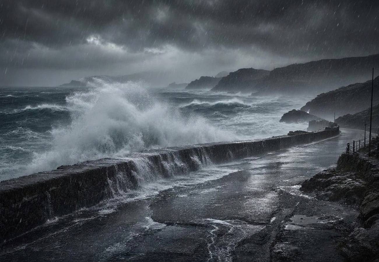
Michigan, Wisconsin and Minnesota,USA Face Dangerous Frost as Fall Travelers Prepare for a Chilly Start

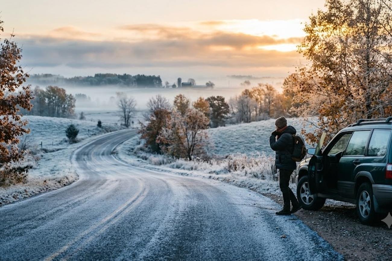
Image generated by AI
A 50% to 80% probability of widespread frost across western Michigan’s Upper Peninsula marks a sharp atmospheric pivot for the Upper Midwest. This sudden temperature drop arrives precisely as the region's peak autumn tourism window opens, forcing a rapid recalibration of logistics for travelers heading to Michigan, Wisconsin, and Minnesota. While not a systemic winter shutdown, the arrival of sub-freezing overnight temperatures creates immediate risks for those engaging in rural transit, wilderness camping, and shoreline exploration.
The Great Lakes Atmospheric Pivot
The current weather event is not a random anomaly but a synchronization of high-pressure systems and historical climatic patterns. According to the National Weather Service (NWS), established high pressure is maintaining below-average temperatures across the region through Wednesday. This creates a volatile environment where inland locations are susceptible to freezing temperatures while coastal zones experience the moderating, yet dangerous, influence of the Great Lakes.
The timing is particularly precise. Data from the National Park Service (NPS) indicates that the average first fall freeze at Pictured Rocks National Lakeshore occurs on September 23. The current frost threat is aligning almost perfectly with this historical benchmark, signaling that the transition from late-summer recreation to true autumn survival is happening in real-time. For the traveler, this means the "shoulder season" has effectively ended, and the region has entered a high-variability weather phase.
Regional Risk Distribution and Data
The impact of this cold snap is not uniform across the three affected states. The risk is concentrated in northern latitudes and inland corridors, while the shorelines of Lake Superior introduce hydraulic hazards.
| Region | Forecasted Event | Probability/Risk Level | Key Affected Areas |
|---|---|---|---|
| Western Upper Peninsula, MI | Widespread Frost | 50% to 80% | Marquette, Munising, Grand Marais |
| Northeast MN / Northwest WI | Sub-freezing Temps | High (Sunday–Wednesday) | Iron Range, North Shore, Twin Ports |
| North-Central Wisconsin | Patchy Frost | Moderate (Monday–Tuesday) | Northern WI Interior |
| Lake Superior Coastline | High Rip-Currents | Hazardous | Marquette County, Duluth, Superior |
In Minnesota and Wisconsin, the NWS Duluth office has flagged a critical window from Sunday night through Wednesday night. Specific warnings were issued for the Iron Range and the North Shore, where temperatures are expected to dip into the 30s, with some northern locations dropping below the freezing mark. Simultaneously, the NWS Green Bay office has identified a secondary frost risk for north-central and far northern Wisconsin, creating a broad belt of freezing risk across the Midwest's northern tier.
Expert Analysis: The Logistics of the "First Freeze"
For travelers booking trips to the Upper Midwest this week, the direct consequence is a total failure of standard September packing lists. The primary danger here is not the cold itself, but the extreme diurnal temperature swing. When the first freeze hits, the gap between a 40-degree morning and a 60-degree afternoon can be jarring, leading to hypothermia for hikers who rely on late-summer attire.
The pricing and operational pressure this creates is most evident in the short-term rental and camping markets. Campers utilizing non-insulated gear will find their equipment insufficient for temperatures near freezing, potentially leading to emergency evacuations from campgrounds. Furthermore, the "hazardous swimming conditions" reported in Marquette County and the Twin Ports (Duluth and Superior) are a result of northeast-driven wave heights. For the nomad or tourist, this means that shoreline activities—often the primary draw of the region—are now high-risk maneuvers.
From a transit perspective, the shift toward freezing temperatures increases the risk of "black ice" on rural roads during the early morning hours. While the Michigan Department of Transportation (MDOT) and Wisconsin’s 511 system have not reported closures, the transition to frost-covered roads requires a change in driving behavior. The reliance on a single state-wide forecast is a strategic error; the thermal difference between the Lake Superior shoreline and an inland forest in the Upper Peninsula can be several degrees, fundamentally changing the road surface conditions.
Key Takeaways
- Historical Alignment: The current freeze is hitting exactly on the September 23 historical average for Pictured Rocks, meaning the region is now officially in its freezing cycle.
- High-Risk Zones: Western Michigan's Upper Peninsula faces a 50% to 80% chance of widespread frost, while the Iron Range in Minnesota is seeing sub-freezing lows.
- Hydraulic Hazards: Cold air does not equal calm water; high rip-current risks and hazardous swimming conditions are active in Marquette County and the Twin Ports.
- Transit Warning: Motorists are urged to use MiDrive (Michigan) and the 511 system (Wisconsin) to monitor rapid changes in rural road conditions during overnight freezes.
- Gear Pivot: Standard autumn clothing is insufficient; winter-weight layers are now mandatory for early-morning excursions in northern MN, WI, and MI.
FAQ: Upper Midwest Fall Travel 2024
Is it still safe to camp in the Upper Peninsula in late September? Yes, but only with winter-rated gear. With temperatures dropping toward freezing, standard three-season tents and sleeping bags may be insufficient. Ensure you have thermal layers and high-R-value sleeping pads to prevent ground-chill.
Are the roads closed due to the frost in Northern Minnesota and Wisconsin? No widespread shutdowns are reported. However, frost-covered roads can be slippery. Check the NWS Duluth and Green Bay updates and use state 511 systems before driving rural routes.
Can I still swim in Lake Superior during this cold snap? It is highly discouraged. The NWS has issued warnings for hazardous swimming and high rip-current risks in Marquette County and the Twin Ports due to elevated wave heights.
What should I pack for a trip to Pictured Rocks right now? Pack for two different climates. You will need heavy, winter-weight layers for mornings (which may be below freezing) and breathable, light layers for afternoons. Waterproof footwear is essential for frost-covered trails.
The beauty of the Great Lakes autumn is matched only by its volatility; prepare for winter, or the landscape will prepare you.
Related Travel Guides
- Riga, Latvia Elevates Cultural Tourism as Spanish Film Festival Creates New European Cinema Experiences: All You Need to Know
- Seattle Connects Hong Kong, Rome, London, Reykjavik and Barcelona as Six New Intercontinental Services Expand Global Travel: All You Need to Know
- Western Railway Adds More Festive Season Train Options With Four Special Services Extended Till November 2026
This article is for informational purposes. Flight routes, passenger regulations, visa rules, and transit advisories are subject to change by airlines and aviation authorities. Readers are advised to verify schedules and travel documentation with relevant carriers and border agencies before departure.
Related Stories
Bruce Campbell Headlines Final East Lansing Film Festival in Michigan October 2026
European Mass Protests Disrupt Travel Across France, Italy, Belgium, and Turkey in 2026