
Pacific Northwest Wildfire Smoke Threatens Inland US Tourism
Widespread wildfire smoke threatens outdoor travel in eastern Washington, Oregon, and Idaho, with nearly 2.2 million acres active.
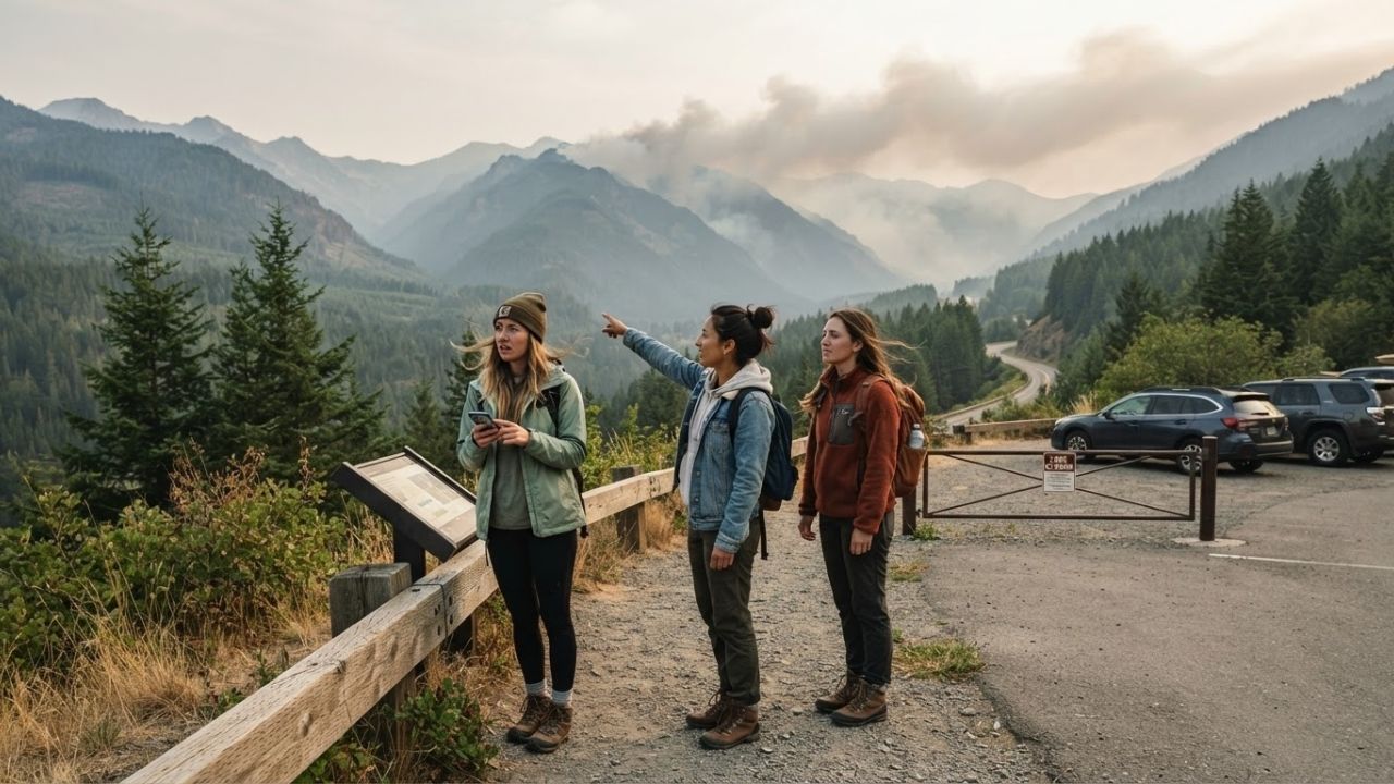
Image generated by AI
Wildfire smoke and dangerous fire conditions are disrupting summer travel across the US Northwest, leaving eastern Washington, Oregon, and Idaho under hazardous air quality alerts.
The Core Transit Update
Active forest fires and thick particulate haze are disrupting tourist routes and outdoor recreation sectors across the United States Northwest. Nearly 2.2 million acres are actively burning in Washington and Oregon (as of August 8, 2026), contributing to a national total of over 6.2 million acres burned this year.
Westerly winds are pushing smoke away from the Interstate 5 corridor, improving air quality in Seattle and Portland. However, eastern Washington, eastern Oregon, Idaho, Montana, and Wyoming face hazardous smoke levels and trail restrictions.
Air Quality & National Wildfire Statistics
Navigating highway networks and national forests requires tracking wind-driven smoke plumes and regional burn areas. The following tables outline local air quality ratings and national burn figures.
| US State / Corridor | Active Fire Acreage (WA & OR) | Primary Air Quality Rating | Air Flow / Wind Windward Relief |
|---|---|---|---|
| Western I-5 Corridor | — | Improving to Moderate | Westerly winds pushing smoke inland |
| Eastern Washington | ~2.2 million acres (combined) | Unhealthy to Hazardous | Protected by Cascades, trapping smoke |
| Eastern Oregon | ~2.2 million acres (combined) | Unhealthy to Hazardous | Dry basin trapping local smoke plumes |
| Idaho Wilderness | — | Unhealthy to Hazardous | Northward flow transporting smoke |
| Montana & Wyoming | — | Moderate to Unhealthy | Eastward drift from regional fires |
US Northwest wildfire air quality impact zones (August 2026).
| Wildfire Registry / Metric | Year-to-Date Burn Area (Acres) | Regional Core Impact Areas | Key Weather Catalyst |
|---|---|---|---|
| US National Total | Over 6.2 million acres | Western States (CA, UT, CO, MT) | Dry thunderstorms & heat domes |
| WA & OR Combined | Nearly 2.2 million acres | Inland Cascades & Columbia Basin | Low humidity & gusty wind vectors |
US national and regional wildfire burn area statistics.
Traveler Logistics Guide
From a ground-level perspective, the best way to navigate this is to check the AirNow mobile dashboard or the official state department of ecology logs before planning your daily hiking or driving route, as local winds can shift particulate matter from moderate to hazardous within a 4-hour window. Checking highway camera logs is recommended.
To plan your trip under smoke warnings:
- Route Flexibility: Avoid planning long-term itineraries in inland Washington and Oregon during high-risk weeks. Focus instead on coastal areas or urban indoor excursions along the I-5 corridor.
- Cabin Filtration Systems: When renting vehicles for regional road trips, ensure the cabin air filtration system is set to "recirculate" to prevent fine wood ash particles from entering the vehicle.
- Dry Thunderstorm Warnings: Monitor local NOAA weather channels when exploring Colorado, Utah, and Nevada, as dry lightning can ignite new brush fires in parched valley bottoms.
- Pre-Departure Trail Status: Verify that national park campgrounds and trailheads are open before departing. Local rangers will close areas immediately if smoke reduces visibility below 500 feet.
Infrastructure Impact Assessment
The persistent wildfire smoke across the Pacific Northwest places significant pressure on the outdoor recreation and hospitality sectors. While gateway cities like Portland and Seattle experience temporary relief, inland lodging providers face cancellations and reduced bookings.
By coordinating real-time updates and offering flexible dates, operators reduce travel risks, helping protect regional tourism economies until seasonal rain brings containment.
Related Travel Guides
Mexico Doubles Cruise Tourism Tax for Inbound Foreign Passengers
Shravani Mela 2026 Deoghar Travel Tips and Logistics Guide
10 Best Travel Tips for Pacific Northwest Smoke, According to Reddit
Disclaimer
This article is for informational and educational purposes only. It does not constitute legal, financial, or professional advice. While we strive to provide accurate and up-to-date information, travel policies, regulations, and conditions change rapidly. Always verify information with official sources before making travel decisions. Nomad Lawyer makes no representations about the accuracy, reliability, completeness, or suitability of the information provided. Readers should consult qualified professionals for advice specific to their circumstances. The views expressed in this article are those of the author and do not necessarily reflect the views of Nomad Lawyer.