
US Gulf Coast States Prepare for Tropical Storm Bertha: Flooding and Wind Risks for Florida to Texas 2026
Florida, Alabama, Mississippi, and Louisiana prepare for Tropical Storm Bertha as Tropical Depression Two strengthens, bringing threats of flash flooding and coastal hazards across the Gulf Coast.

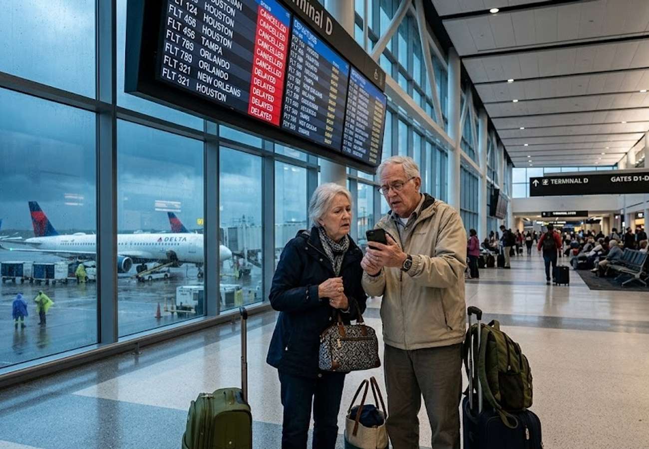
Image generated by AI
Emergency management agencies across the United States Gulf Coast are escalating preparedness efforts as Tropical Depression Two is forecast to intensify into Tropical Storm Bertha. The system is currently tracking across the Gulf of Mexico, threatening millions of residents and travelers from Florida to Texas with a combination of torrential rain, hazardous coastal surges, and damaging winds.
The timing of this system is particularly concerning for regional infrastructure. Many coastal communities are still recovering from the impacts of Tropical Storm Arthur, which occurred only weeks ago, leaving soils saturated and drainage systems compromised.
Tracking the Evolution of Tropical Depression Two
Meteorologists are observing a gradual consolidation of thunderstorms around the center of the system in the northeastern Gulf of Mexico. While the system currently remains broad—with rain bands stretching for hundreds of miles—the increasing organization suggests a high probability of strengthening.
A system is officially upgraded to a named tropical storm once it achieves maximum sustained winds of 39 mph (63 km/h) and establishes a sufficiently organized circulation. Current projections indicate that Tropical Depression Two will reach this threshold shortly, triggering the name Tropical Storm Bertha.
Variable Forecast Tracks and Regional Implications
The primary uncertainty for emergency planners is the storm's precise trajectory, as small shifts in position will dictate which states bear the brunt of the impact.
- The Northern Track Scenario: If the system remains closer to the northern Gulf Coast, it will have less time over warm open waters, potentially limiting its peak intensity. However, this path would concentrate the heaviest rainfall directly onto the Florida Panhandle, Alabama, Mississippi, and Louisiana.
- The Southern Track Scenario: A southward shift would allow the storm to linger over warmer waters longer, facilitating greater intensification. This path would likely reduce the immediate impact on Louisiana but significantly increase the risk of severe weather for the Texas coastline and the Texas Hill Country.
Primary Hazards: Rainfall and Inland Flooding
Regardless of the final wind speed, meteorologists identify excessive rainfall as the most critical threat. The system is expected to create a widespread corridor of precipitation, with the following projections:
- General Impact: 25 mm to 100 mm (1–4 inches) across central Gulf Coast regions.
- Localized Heavy Rain: 100 mm to 200 mm (4–8 inches) in specific areas.
- Extreme Totals: Isolated locations could see significantly higher totals if rain bands stall over a single area.
The risk is not limited to the coast. Tropical moisture is expected to penetrate deep inland, potentially overwhelming rivers and streams. The Interstate 10 corridor is identified as a high-risk zone for flooding under the northern track, while areas toward Interstate 20 may see lighter precipitation.
Wind Disruptions and Marine Safety
While Bertha may not reach hurricane strength, wind gusts remain a significant concern for travel and power stability.
Forecasters anticipate tropical-storm-force gusts between 40 mph and 60 mph, particularly in exposed coastal areas. In the most intense thunderstorms, isolated gusts could briefly reach hurricane-force levels. These conditions are likely to cause scattered power outages, downed tree limbs, and hazardous conditions on bridges and elevated highways.
Marine conditions are deteriorating rapidly. Rough seas and sudden squalls are creating dangerous environments for commercial shipping, fishing vessels, and recreational boaters. Mariners are urged to avoid unnecessary travel as wave heights and wind speeds increase.
Regional Impact Summary
| Region | Primary Threat | Expected Wind Gusts | Rainfall Potential |
|---|---|---|---|
| Florida Panhandle | Flash Flooding / Coastal Surge | 40–60 mph | 25mm – 200mm+ |
| Alabama & Mississippi | Heavy Rain / Inland Flooding | 40–60 mph | 25mm – 200mm+ |
| Louisiana | Coastal Hazards / Flooding | 40–60 mph | 25mm – 200mm+ |
| Texas Coast/Hill Country | Intensified Storm Surge / Rain | Variable (Higher if South Track) | High (if South Track) |
Key Takeaways for Residents and Travelers
- Saturated Ground: Previous weather events (Tropical Storm Arthur) have increased the risk of flash floods.
- Infrastructure Risks: High winds may disrupt power and coastal road access.
- Marine Danger: Rough seas make the Gulf of Mexico hazardous for all vessel types.
- Dynamic Path: The distinction between a northern and southern track will determine whether Florida/Louisiana or Texas faces the most severe impact.
Travelers are advised to monitor official National Weather Service updates and avoid driving through flooded roadways.
FAQ
What is the difference between Tropical Depression Two and Tropical Storm Bertha? The system is currently a tropical depression. Once it reaches maximum sustained winds of 39 mph (63 km/h) and develops an organized circulation, it will be officially named Tropical Storm Bertha.
Which areas are at the highest risk for flooding? Low-lying coastal communities, urban areas with poor drainage, and the Interstate 10 corridor are at the highest risk, especially if the storm follows a northern track.
How much rain is expected? Most of the central Gulf Coast can expect 25 mm to 100 mm, but localized areas could see between 100 mm and 200 mm, with some isolated spots receiving even more.
Related Travel Guides
Disclaimer
This article is for informational and educational purposes only. It does not constitute legal, financial, or professional advice. While we strive to provide accurate and up-to-date information, travel policies, regulations, and conditions change rapidly. Always verify information with official sources before making travel decisions. Nomad Lawyer makes no representations about the accuracy, reliability, completeness, or suitability of the information provided. Readers should consult qualified professionals for advice specific to their circumstances. The views expressed in this article are those of the author and do not necessarily reflect the views of Nomad Lawyer.
Preeti Gunjan
Contributor & Community Manager
A passionate traveller and community builder. Preeti helps grow the Nomad Lawyer community, fostering engagement and bringing the reader experience to life.
Learn more about our team →