US East Coast Nor’easter Threatens Coastal Flooding from North Carolina to New England in Late September 2026

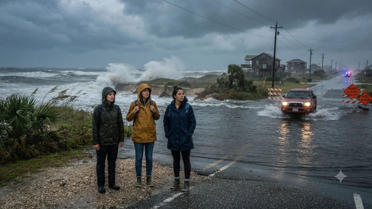
When a developing offshore cyclonic storm coincides with an astronomical full moon, even moderate onshore breezes can trigger severe ocean overwash without a single drop of rain falling from the sky. Coastal communities and barrier islands from North Carolina's Outer Banks to coastal Massachusetts are bracing for widespread tidal flooding, beach erosion, and transit delays as a potent late September nor'easter churns along the Atlantic seaboard.
The meteorological collision is driven by an upper-level jet stream dip and an atmospheric blocking pattern over the Eastern United States, which stalls weather fronts moving eastward from the Midwest. As low pressure intensifies off the mid-Atlantic shoreline, it funnels persistent east-to-northeast gales directly into tidal estuaries. From Tuesday through Friday, expanding across the weekend, low-lying coastal highways, ferry routes, and waterfront historic districts face significant water rise during peak astronomical high tides.
The Science of the September Nor'easter and Tidal Surge
According to coastal meteorologists and the National Weather Service, the primary danger of this late-season storm system is the prolonged duration of onshore wind forcing water into enclosed bays and coastal sounds.
The lower Chesapeake Bay, its western tributaries, and low-lying peninsulas across Southeastern Virginia and Maryland are highlighted as high-risk zones. Strong northeast winds effectively trap outgoing tidal waters inside Hampton Roads, the James River, and the Potomac River, preventing natural drainage cycles. When combined with peak water levels amplified by the full moon's gravitational pull starting Wednesday, high tide cycles are projected to inundate low-lying roads, boat ramps, and oceanfront boulevards.
The storm's path remains the decisive factor. Should the system drift westward closer to the shoreline rather than pushing harmlessly out to sea, heavy rain bands and wind gusts exceeding 45 knots will expand northward toward Long Island, Rhode Island, and southeastern Massachusetts, heightening the risk of localized power outages and urban travel disruptions.
Geographic Breakdown: From the Outer Banks to Cape Cod
Navigating the Atlantic seaboard during late September requires understanding how different coastal micro-regions respond to gale-force nor'easters.
Along North Carolina's barrier islands, the exposed ribbon of NC Highway 12 through Cape Hatteras National Seashore is acutely susceptible to ocean overwash and dune erosion, particularly near Rodanthe, Buxton, and the Pea Island National Wildlife Refuge. Strong surf conditions create dangerous rip currents, rendering recreational ocean swimming and small-craft boating hazardous from Cape Lookout to Virginia Beach.
In Virginia, historical waterfront districts such as Old Town Alexandria, Norfolk's Ghent neighborhood, and downtown Portsmouth face frequent street flooding during prolonged northeast wind events, as monitored by Virginia Tourism Corporation. Further north in New England, south-facing beaches across Cape Cod, Martha's Vineyard, and Nantucket encounter heavy surf and restricted ferry operations as maritime transit authorities cancel high-speed passenger catamarans.
Visitor Insider Tips: Navigating the East Coast Storm Safely
- Time Driving Windows Around Low Tide on Barrier Islands: If driving along coastal routes like NC Highway 12 in North Carolina or Route 6A on Cape Cod, consult local NOAA tide tables. Plan all essential driving strictly within two hours on either side of astronomical low tide to avoid saltwater overwash and road closures.
- Park Vehicles on Elevated Ground: Saltwater flooding causes irreversible electrical and mechanical corrosion to vehicles. In tidally prone areas such as Norfolk, Charleston, or coastal Delaware, move rental cars to multi-story inland parking garages rather than street parking near sea walls or marina docks.
- Monitor Passenger Ferry Schedules Closely: Ferries connecting Ocracoke Island (NC), Smith Island (MD), and Nantucket or Martha's Vineyard (MA) frequently suspend operations during sustained northeast winds above 30 knots. Confirm operational status directly with state ferry divisions before arriving at departure terminals.
- Download Airline Apps for Automated Rebooking Waivers: Major East Coast hub airports—including Boston Logan (BOS), New York JFK, Newark (EWR), Philadelphia (PHL), and Washington Dulles (IAD)—may institute ground delay programs if low cloud ceilings and wind shears develop. Check for flexible flight waiver policies that permit free itinerary date changes.
- Avoid Walking Along Wave-Exposed Jetties and Piers: Large Atlantic swells generate sudden rogue wave surges on barrier island beaches. Maintain a safe distance from sea walls, rock jetties, and oceanfront piers where crashing waves can easily sweep spectators off their feet.
Cultural and Environmental Context
Nor'easters have shaped the architecture, maritime culture, and geography of the American Atlantic coast for centuries. Historic fishing hamlets and barrier island communities have long adapted to seasonal storms, developing vernacular architecture such as homes on stilts, living shorelines, and maritime marsh buffers.
However, accelerating sea-level rise and increasing coastal development have magnified the vulnerability of sandy barrier islands. Dunes that naturally shift and migrate are often constrained by paved roads and beachfront properties, leading to severe beach erosion during prolonged storm cycles. State conservation bodies are actively prioritizing barrier island restoration, maritime forest preservation, and dune replenishment to safeguard these vital natural coastal shields.
FAQ: Visiting the US East Coast During a Nor'easter 2026
What is a Nor'easter?
A Nor'easter is a powerful cyclonic storm along the East Coast of North America, characterized by winds blowing primarily from the northeast off the Atlantic Ocean.
How does the full moon worsen coastal flooding?
The gravitational pull during a full moon creates higher-than-normal astronomical tides, which combine with storm-driven ocean water to produce deeper coastal inundation.
Are flights usually canceled during East Coast Nor'easters?
While modern jet aircraft handle wind well, ground delays and flight cancellations can occur at major hubs if sustained crosswinds, low visibility, or heavy rain bands affect runways.
Is it safe to drive through flooded coastal roads?
No. Saltwater from storm surge is highly corrosive and can easily stall vehicles or conceal washed-out roadbeds; never drive through standing coastal water.
Respecting the raw power of Atlantic tides ensures that autumn journeys along historic coastal shores remain safe and memorable.
Related Travel Guides
- European Air Travel Disrupted with 1,982 Delays and 104 Cancellations Across 15 Major Hubs in September 2026
- South Korea and Over Thirty Nations Face a Severe Global Medical Tourism Disruption as West Asia Geopolitical Conflict Cuts Off High-Value Patient Flows: New Travel Alert
- California Travel Industry Confronts an Escalating Crisis as Unsuspecting Tourists Fall for Soaring Digital Travel Fraud and Phony Rental Listings: New Travel Alert
This article is for informational purposes. Flight routes, passenger regulations, visa rules, and transit advisories are subject to change by airlines and aviation authorities. Readers are advised to verify schedules and travel documentation with relevant carriers and border agencies before departure.
Related Stories
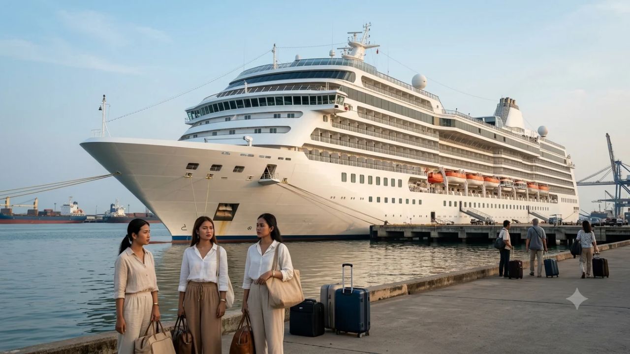
Odyssey Residential Cruise Strands 203 Passengers in Sihanoukville Cambodia as Fourfold Fuel Inflation Triggers Vessel Lay-Up

US Embassy Issues Dominican Republic Travel Security Alert Over Dating App Drugging and Robbery Risks