
Tropical Storm Edouard Threatens Texas and Louisiana Gulf Coast Travel with Heavy Rain in 2026
Tropical Storm Edouard is forecast to hit the Northwest Gulf Coast on Tuesday, bringing significant flash flooding risks to southeast Texas and southwest Louisiana.

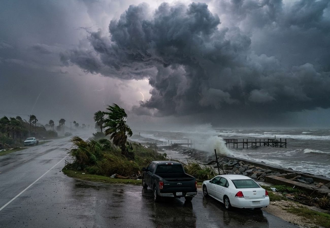
Image generated by AI
Severe flash flooding and torrential rain are expected to disrupt transit across the Northwest Gulf Coast as Tropical Storm Edouard makes landfall on Tuesday.
Tropical Storm Edouard is currently tracking toward the coastal regions of Texas and Louisiana. While the system is relatively compact, the National Weather Service warns that its primary threat is not wind, but intense precipitation that could paralyze local transport networks.
The system is moving west-north-west at approximately 6 mph. As of Monday evening, the National Hurricane Center positioned the storm roughly 140 miles southeast of Cameron, Louisiana, and 175 miles southeast of Port Arthur, Texas.
Landfall Timeline and Projected Path
Forecasters expect Edouard to maintain its west-north-west trajectory before shifting more toward the north-west. The center of the storm is projected to reach the northwestern Gulf Coast on Tuesday, subsequently moving inland over southeast Texas on Tuesday night.
While the storm is expected to weaken and dissipate by Wednesday, the window of peak disruption remains critical for those in the region. Current data indicates maximum sustained winds of 40 mph, with tropical-storm-force winds extending 25 miles from the center.
Rainfall Risks and Infrastructure Impact
The most significant danger for travelers is the concentration of rainfall. Unlike larger hurricanes that spread rain over vast areas, Edouard's compact size may concentrate extreme precipitation within a narrow corridor.
Widespread rainfall of 3 to 5 inches is expected across southeast Texas, with isolated pockets potentially receiving 6 to 9 inches. The intensity of these bursts—ranging from 2 to 4 inches per hour—can rapidly overwhelm urban drainage systems, leading to immediate flash flooding.
The National Weather Service has issued a "Level 2 of 4" flood risk for southeast Texas. This creates a high-hazard environment for:
- Motorists: Floodwaters can hide road erosion and obscure lane markings.
- Airport Transfers: Surface roads to major hubs may become impassable.
- Coastal Excursions: Low-lying areas are susceptible to rapid inundation.
Houston Transport and Business Continuity
As a primary gateway for both leisure and corporate travel, Houston faces significant operational risks. Even if flight operations at major airports continue, the "last mile" of travel—taxis, ride-hailing services, and shuttle transfers—is likely to be hindered.
A tropical storm warning is currently in effect for Chambers County and adjacent waters. Inland winds are expected to reach 20–30 mph, with gusts hitting 40 mph.
Business travelers and event delegates should anticipate staggered disruptions. Rather than total shutdowns, the storm is likely to cause a wave of delayed departures and extended hotel stays as guests wait for road conditions to stabilize.
Coastal Surge and Marine Warnings
Beyond rainfall, the National Weather Service has issued a storm surge watch from High Island, Texas, to the Vermilion-Cameron Parish border. This indicates a potential for life-threatening coastal inundation within 48 hours.
Simultaneously, a tropical storm warning covers the area from Port Bolivar, Texas, toward the Vermilion-Iberia Parish border in Louisiana. For those staying in waterfront properties or planning marine activities, these warnings signify that seawater—not just rain—will impact low-lying roads and marinas.
Edouard Travel Risk Analysis
| Risk Factor | Current or Forecast Situation | Traveler Relevance |
|---|---|---|
| Storm Status | Tropical Storm Edouard | Active Gulf Coast weather threat |
| Max Sustained Winds | 40 mph initially | Gusts can disrupt exposed coastal areas |
| Expected Movement | West-north-west $\rightarrow$ North-west | Texas-Louisiana coast remains exposed |
| Landfall Window | Tuesday | Peak disruption expected around landfall |
| Main Hazard | Heavy rainfall | Highest concern for roads and urban travel |
| Broad Rainfall | 3–5 inches | Significant surface-water risk |
| Localized Rainfall | 6–9 inches | Potential flash flooding |
| Peak Rain Rates | 2–4 inches per hour | Rapid flooding possible |
| Flooding Outlook | Level 2 of 4 risk | Elevated concern for southeast Texas |
| Storm Surge | Watch issued | Coastal inundation remains possible |
| Wind Threat | Tropical-storm-force gusts | Possible outages and falling debris |
| Dissipation | By Wednesday | Conditions should gradually improve |
Strategic Planning for Affected Travelers
To mitigate the impact of Tropical Storm Edouard, visitors and residents should adopt the following protocols:
- Air Passengers: Verify flight status directly with airlines. Do not rely on scheduled times; allow double the usual transit time to reach the airport.
- Road Users: Avoid relying exclusively on GPS/satellite navigation, as these apps often lag in reporting temporary flood closures.
- Coastal Tourists: Vacate exposed waterfront areas and follow all local evacuation orders immediately.
- Marine Passengers: Confirm cancellations with cruise or ferry operators, as Gulf conditions often deteriorate well before the storm center arrives.
- Hotel Guests: Coordinate with front desk management regarding emergency shelter and local road accessibility.
Stay vigilant and prioritize safety over schedules during this weather event.
Related Travel Guides
Disclaimer
This article is for informational and educational purposes only. It does not constitute legal, financial, or professional advice. While we strive to provide accurate and up-to-date information, travel policies, regulations, and conditions change rapidly. Always verify information with official sources before making travel decisions. Nomad Lawyer makes no representations about the accuracy, reliability, completeness, or suitability of the information provided. Readers should consult qualified professionals for advice specific to their circumstances. The views expressed in this article are those of the author and do not necessarily reflect the views of Nomad Lawyer.
Raushan Kumar
Founder & Lead Developer
Full-stack developer with 11+ years of experience and a passionate traveller. Raushan built Nomad Lawyer from the ground up with a vision to create the best travel and law experience on the web.
Learn more about our team →