
NYC Tri-State Region Under Flood Watch and Severe Storm Warnings August 2026
Severe thunderstorms and flash flood warnings are disrupting travel across New York City, New Jersey, and Connecticut as heavy rainfall triggers localized flooding.
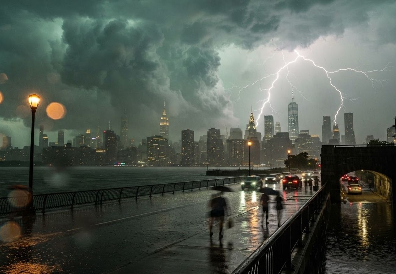
Image generated by AI
Heavy rainfall and wind gusts up to 70 mph are currently paralyzing transit across the New York metropolitan area. A combination of flood watches and flash flood warnings has put millions of residents and travelers at risk of significant delays.
The New York City Tri-State region is currently battling a volatile weather system characterized by torrential downpours and severe thunderstorms. National Weather Service data confirms a broad flood watch extending through Thursday evening, August 27, covering New York City, northeast New Jersey, southwestern Connecticut, and portions of the Lower Hudson Valley.
Meteorological patterns indicate that repeated thunderstorm cells are tracking over the same corridors. This "training" effect significantly increases the probability of overwhelming urban drainage systems and small streams, leading to rapid surface flooding.
Rainfall Totals and Flash Flood Risks
Current forecast guidance predicts general storm totals of 1 to 2 inches across the northern New Jersey and NYC metro areas. However, localized pockets are expected to see up to 3 inches of rain where the heaviest storm cells concentrate.
The primary concern for urban commuters is the intensity of the rainfall. With rates approaching 1 to 2 inches per hour, the risk of rapid ponding on viaducts, low-lying intersections, and city streets is high.
Flash flood warnings have already expanded to cover significant portions of the five boroughs, specifically:
- Staten Island
- Brooklyn
- Queens
In these areas, initial rainfall of 0.5 to 1 inch has already been recorded, with an additional 1 to 3 inches possible in a very short window.
Severe Weather Threats: Wind and Tornado Risks
Beyond the water levels, the Storm Prediction Center has issued a severe thunderstorm watch for the entire NYC area and much of the Tri-State region. The atmospheric conditions—fueled by a warm, humid air mass interacting with a frontal boundary—are creating high-energy updrafts.
The specific hazards identified include:
- Damaging Winds: Straight-line wind gusts reaching up to 70 miles per hour, capable of downing power lines and tree limbs.
- Hail: Potential for large hail within the strongest storm clusters.
- Tornadoes: A low but nonzero risk of brief spin-up tornadoes.
Marine warnings are also in effect from Sandy Hook to Fire Island Inlet. Boaters in New York Harbor are warned of hazardous waves, strong gusts, and sudden visibility drops.
Transit and Aviation Impact Analysis
The convergence of these storms with the evening commute is expected to create hazardous conditions across the regional transportation network.
Roads and Highways Standing water on exit ramps, underpasses, and parkways is likely to trigger lane closures and significant slowdowns. Travelers on the Interstate 95 corridor, particularly those moving between Philadelphia and New York, should expect ripple effects as similar conditions hit the broader Mid-Atlantic region.
Air Travel The NYC airport system is highly susceptible to these conditions. Strong thunderstorms and reduced visibility frequently lead to:
- FAA-mandated ground stops.
- Air traffic flow restrictions.
- Increased cancellations and delays for arrivals and departures.
Public Transit The subway, commuter rail, and bus networks face vulnerability at flood-prone rights-of-way. Intense cloudbursts often overwhelm pumping stations, leading to localized service changes and slowed transit speeds.
Weather Impact Summary
| Hazard Type | Affected Areas | Expected Intensity/Metric | Primary Risk |
|---|---|---|---|
| Flood Watch | NYC, NE New Jersey, SW Connecticut | 1–3 inches of rain | Overwhelmed drainage/streams |
| Flash Flood Warning | Staten Island, Brooklyn, Queens | 1–2 inches per hour | Basement/Underpass flooding |
| Severe Thunderstorm | Tri-State Region | Gusts up to 70 mph | Power outages/Tree damage |
| Marine Warning | Sandy Hook to Fire Island Inlet | High waves/Low visibility | Hazardous navigation |
Safety and Preparedness Guidance
Emergency management advisories emphasize that the most intense rain bands are often only visible on radar 60 to 120 minutes before impact. Residents and visitors are urged to take the following precautions:
- Avoid Water-Covered Roads: Never drive through flooded underpasses or streets.
- Vehicle Relocation: Move cars from below-grade garages and historically flood-prone spots.
- Secure Property: Anchor outdoor furniture and items that could become airborne in 70 mph winds.
- Evacuate Low-Lying Areas: Those in basement apartments should remain vigilant and be prepared to move to higher ground.
Stay tuned to local radar and National Weather Service alerts for real-time updates as these storm cells migrate northeast.
Related Travel Guides
Disclaimer
This article is for informational and educational purposes only. It does not constitute legal, financial, or professional advice. While we strive to provide accurate and up-to-date information, travel policies, regulations, and conditions change rapidly. Always verify information with official sources before making travel decisions. Nomad Lawyer makes no representations about the accuracy, reliability, completeness, or suitability of the information provided. Readers should consult qualified professionals for advice specific to their circumstances. The views expressed in this article are those of the author and do not necessarily reflect the views of Nomad Lawyer.