
NYC Issues Travel Advisory for August 27 2026: Heavy Storms and Flood Watch Threaten Five Boroughs
New York City has issued a comprehensive travel advisory for August 27, 2026, warning of thunderstorms, localized flooding, and significant commuting disruptions across all five boroughs.

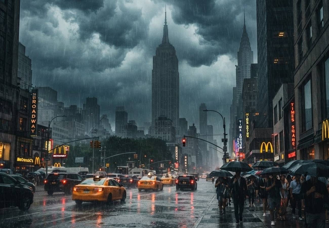
Image generated by AI
New York City is bracing for significant weather-driven disruptions on Thursday, August 27, 2026, as a combination of thunderstorms and a National Weather Service Flood Watch threatens the city's transit infrastructure.
Storm Forecast and Timing for August 27
A formal travel advisory is currently in effect for Thursday, August 27, as New York City prepares for unsettled weather characterized by scattered showers and brief, heavy downpours. The National Weather Service has synchronized this advisory with a Flood Watch that runs from midday through late night.
Meteorological data indicates that the highest probability of precipitation occurs between 11 a.m. and 7 p.m. This window coincides with a moist, unstable air mass and an approaching frontal system from the west, which is expected to trigger repeated rounds of storms.
For central New York City, the forecast includes:
- Precipitation Probability: 80% chance of rain.
- Temperature: Lower 80s.
- Wind: Humid south to southwest breeze.
- Duration: Showers may persist overnight, though the risk of thunderstorms decreases after midnight as the front moves offshore.
While the overall severe weather risk is categorized as low to marginal, there is a distinct possibility of isolated stronger cells producing small hail and damaging wind gusts.
Rainfall Projections and Flash Flood Risks
Most of the city is expected to receive between 0.5 and 1.5 inches of rain. However, localized totals could reach approximately 2.5 inches in areas where thunderstorms "train" or track repeatedly over the same neighborhoods.
The National Weather Service's Flood Watch (12 p.m. to 11 p.m.) is driven by the potential for rainfall rates to hit 1 to 1.5 inches per hour. Due to the high volume of paved surfaces and saturated ground, urban runoff is expected to increase rapidly.
Specific high-risk environments include:
- Underpasses and below-grade roadways.
- Basement and garden-level apartments.
- Areas surrounding clogged catch basins.
- Low-lying zones with poor drainage.
Impact on Aviation, Transit, and Road Networks
The advisory highlights significant risks for all modes of transport, particularly during the afternoon and evening rush hours.
Air Travel
Travelers using New York area airports face a heightened risk of delays. Thunderstorms often trigger traffic management initiatives or airline travel waivers, especially when lightning or low visibility disrupts peak arrival and departure banks in the congested Northeast airspace.
Public Transit and Roadways
Road users should anticipate slick pavement, reduced visibility, and standing water. These conditions frequently lead to hydroplaning and minor collisions that cause cascading traffic delays across bridges and key corridors.
Transit riders may experience slower service or localized disruptions. While systemwide outages are not predicted, water accumulation near station entrances and track locations remains a primary concern for transportation providers.
City Preparedness and Resident Guidance
New York City Emergency Management is coordinating with partner agencies to mitigate the impact of the storm. Proactive measures include the clearing of storm drains and catch basins in known flood-prone areas to optimize drainage.
Residents and property managers are advised to:
- Secure outdoor furniture and items prone to wind displacement.
- Verify the functionality of sump pumps.
- Ensure roof drains and downspouts are clear of debris.
- Move valuables in basement apartments to higher floors or waterproof containers.
The city recommends that all residents and visitors register for Notify NYC digital alerts to receive real-time updates via text, email, or app notifications regarding transit changes and emergency warnings.
Navigating the Storm Safely
For those required to travel on August 27, experts suggest checking airline status pages and real-time mapping tools before departure. Flexible work hours are recommended to avoid the peak thunderstorm window.
Pedestrians and cyclists should utilize reflective clothing to maintain visibility during darkened skies and seek indoor shelter immediately when lightning activity begins. Those relying on ride-hail services should expect surged demand and increased wait times, particularly in Lower Manhattan, Midtown, and busy sectors of Brooklyn and Queens.
Weather Impact Summary: August 27, 2026
| Metric | Forecast Detail |
|---|---|
| Primary Weather Events | Thunderstorms, Heavy Rain, Localized Flooding |
| Peak Impact Window | 11:00 AM – 7:00 PM |
| Flood Watch Duration | 12:00 PM – 11:00 PM |
| Expected Rainfall | 0.5" to 1.5" (Localized peaks up to 2.5") |
| Max Rainfall Rate | 1.0" to 1.5" per hour |
| Precipitation Chance | 80% (Central NYC) |
| Temperature | Lower 80s |
Key Takeaways
- Timing: The most volatile weather is expected between 11 a.m. and 7 p.m. on Thursday.
- Flooding: A Flood Watch is active from noon to 11 p.m., with high risks for basement apartments and underpasses.
- Transport: Expect delays across all NYC airports and potential slowdowns on major roadways and transit lines.
- Action: Sign up for Notify NYC and allow extra travel time for the evening commute.
FAQ
Will flights be canceled on August 27? While widespread cancellations aren't guaranteed, thunderstorms often cause delays and trigger airline traffic management initiatives in the Northeast. Check your flight status directly with your carrier.
Which areas of NYC are most at risk for flooding? Low-lying areas, below-grade roadways, and neighborhoods with poor drainage or clogged catch basins are most vulnerable to flash flooding.
What should I do if I live in a basement apartment? Move valuables to higher floors, ensure waterproof storage for documents, and be prepared to relocate to a higher level if water begins to accumulate.
Stay alert and monitor real-time radar to avoid the heaviest storm cells.
Related Travel Guides
Disclaimer
This article is for informational and educational purposes only. It does not constitute legal, financial, or professional advice. While we strive to provide accurate and up-to-date information, travel policies, regulations, and conditions change rapidly. Always verify information with official sources before making travel decisions. Nomad Lawyer makes no representations about the accuracy, reliability, completeness, or suitability of the information provided. Readers should consult qualified professionals for advice specific to their circumstances. The views expressed in this article are those of the author and do not necessarily reflect the views of Nomad Lawyer.
Raushan Kumar
Founder & Lead Developer
Full-stack developer with 11+ years of experience and a passionate traveller. Raushan built Nomad Lawyer from the ground up with a vision to create the best travel and law experience on the web.
Learn more about our team →