
North Atlantic Storm 931 hPa: Iceland and Faroe Islands Face Severe Travel Disruptions October 2026
An explosive North Atlantic cyclone with a central pressure of 931 hPa triggered widespread ferry cancellations and road closures across Iceland, the Faroe Islands, and the UK in October 2026.

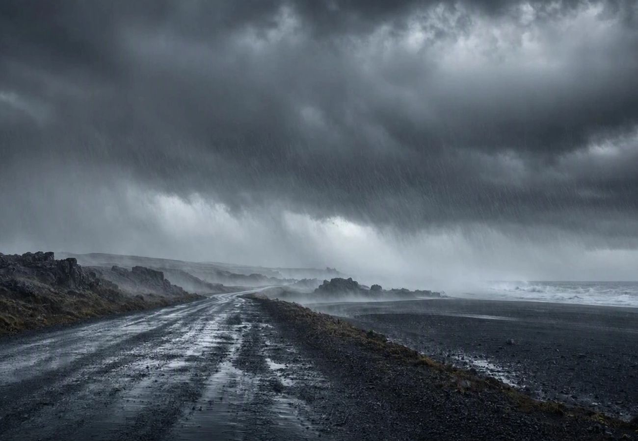
Image generated by AI
A central pressure of 931 hPa recorded on 14 October marks the intensity of an explosive North Atlantic storm that paralyzed transport networks across five nations. This weather system, which underwent rapid cyclogenesis east of Newfoundland, created a corridor of volatility stretching from the Norwegian Basin to the coasts of Ireland and the United Kingdom. While the system began weakening by 15 October, the residual swell and wind gusts continued to disrupt maritime logistics and regional transit.
Cyclogenesis and Atmospheric Pressure Shifts
The storm's rapid intensification was characterized by a forecast pressure drop of approximately 30 hPa within a 24-hour window. This "bomb cyclone" effect concentrated the most severe land-based impacts on Iceland and the autonomous Danish territory of the Faroe Islands. According to data from the UK Met Office, the system's core moved north-east, transitioning from an extreme low-pressure center to a weakening depression over the course of 48 hours.
For travelers, the danger was not merely the wind speed but the resulting volatility in coastal environments. In Iceland, the Icelandic Meteorological Office issued orange warnings as easterly winds shifted to the north, triggering blizzard conditions and severe visibility drops.
Regional Transport Disruptions and Marine Data
The storm's trajectory created a tiered impact system. While Iceland faced structural road risks, the Faroe Islands suffered a breakdown in their inter-island connectivity. In the UK and Ireland, the impact was primarily felt in maritime sectors and exposed coastal highlands.
North Atlantic Storm Intensity and Travel Impact (October 14–15, 2026)
| Time (UTC) | Pressure Reading | Primary Location | Travel Significance |
|---|---|---|---|
| 14 Oct, 12:00 | 931 hPa | North Atlantic / Iceland | Exceptional intensity; high risk of road/sea closure |
| 15 Oct, 00:00 | 943 hPa | Moving North-East | Continued offshore warnings; shifting wind patterns |
| 15 Oct, 03:00 | 945 hPa | East of Iceland | Strong southerly airflow affecting Irish marine areas |
| 15 Oct, 09:00 | 950 hPa | North-East of Iceland | Easing winds; persistent Atlantic swell risks |
Iceland: Infrastructure Risks and Coastal Flooding
The national road authority, Vegagerðin, identified several high-risk routes prone to immediate closure on 14 October. The Westfjords were the most vulnerable region, with specific alerts issued for:
- Holtavörðuheiði
- Brattabrekka
- Svínadalur
- Vatnaleið
Beyond road closures, the storm generated catastrophic sea states. Forecasts predicted waves of roughly eight metres near Vík í Mýrdal, with some south-eastern coastal areas facing waves exceeding ten metres. This created a high probability of flooding along the Ring Road, the primary artery for Icelandic tourism.
Faroe Islands: The Connectivity Collapse
Unlike the mainland, the Faroe Islands rely on a fragile network of ferries and buses. The public transport operator, Strandfaraskip Landsins, confirmed significant cancellations for 15 October. The most critical disruption occurred on Route 300, the primary link between Tórshavn, the airport, and Sørvágur.
Cancellations included:
- Tórshavn departures: 05:40 and 06:45
- Sørvágur departures: 06:45 and 07:50
- Ferry services: Early departures between Klaksvík and Kalsoy were scrapped, and Route 66 (Sandur to Skúvoy) was suspended.
Expert Analysis: The "Lag Effect" in Maritime Travel
For travelers booking routes in the North Atlantic, the direct consequence of a 931 hPa system is the "lag effect." Even after the World Meteorological Organization (WMO) or local agencies report that the central pressure is rising (weakening), the physical environment remains hazardous.
The pricing and logistical pressure created by such storms often leads to a "bottleneck" effect. When ferry services like those in the Faroes are suspended, the sudden surge in demand for the remaining operational transport modes often leads to price spikes in private transfers and total depletion of available airport shuttle seats. Furthermore, the Atlantic swell mentioned by Met Éireann in Ireland proves that "weather improvement" in the air does not equal "safety" at sea. Small-craft warnings often persist for 48–72 hours after the wind dies down because the ocean's kinetic energy takes longer to dissipate.
Key Takeaways
- Pressure Extremes: The storm hit a peak of 931 hPa on 14 October, causing explosive weather shifts.
- Faroe Islands Logistics: Route 300 (Airport link) saw multiple morning cancellations on 15 October.
- Icelandic Road Safety: Routes in the Westfjords and the Ring Road near Vík faced closures due to blizzards and 10-metre waves.
- UK/Ireland Impact: Primarily maritime; gale force 8 winds in the northern Irish Sea and 70 mph gusts in the Outer Hebrides.
- Norway Exposure: Risk was limited to the north-western Norwegian Basin with severe gale force 9 winds.
FAQ: North Atlantic Storm 2026
Are flights still operating in the Faroe Islands during such storms? Yes. While airport bus connections (Route 300) and ferries were cancelled, there is no evidence that flight operations themselves were suspended. However, getting to the airport becomes the primary challenge.
Which Icelandic roads are most dangerous during Atlantic storms? Routes in the Westfjords, such as Holtavörðuheiði and Vatnaleið, are high-risk. Additionally, the Ring Road near Vík í Mýrdal is prone to coastal flooding during high tide.
How long do maritime warnings last after the storm passes? Warnings for Atlantic swell and small-craft hazards often persist for several days after the wind eases, as seen in the Met Éireann reports for Ireland on 15 October.
When the barometer drops this sharply, the map changes faster than the schedules.
Related Travel Guides
Disclaimer
This article is for informational and educational purposes only. It does not constitute legal, financial, or professional advice. While we strive to provide accurate and up-to-date information, travel policies, regulations, and conditions change rapidly. Always verify information with official sources before making travel decisions. Nomad Lawyer makes no representations about the accuracy, reliability, completeness, or suitability of the information provided. Readers should consult qualified professionals for advice specific to their circumstances. The views expressed in this article are those of the author and do not necessarily reflect the views of Nomad Lawyer.
Kunal K Choudhary
Co-Founder & Contributor
A passionate traveller and tech enthusiast. Kunal contributes to the vision and growth of Nomad Lawyer, bringing fresh perspectives and driving the community forward.
Learn more about our team →