
Meghalaya, Kerala, And More Unveil India’s Breathtaking Waterfall Paradise Before Monsoon Ends
Meghalaya, Kerala, And More Unveil India’s Breathtaking Waterfall Paradise Before Monsoon Ends

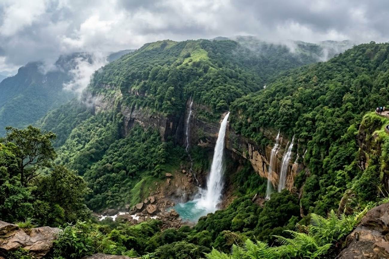
Image generated by AI
340 metres is the staggering vertical drop of Nohkalikai Falls, marking it as one of the highest plunges in India and a primary catalyst for the late-monsoon tourism surge in Meghalaya. As the southwest monsoon enters its final phase in September 2026, a specific corridor of eight major waterfall systems across Kerala, Meghalaya, Chhattisgarh, Karnataka, Madhya Pradesh, Maharashtra, and Tamil Nadu has reached peak hydraulic capacity. This seasonal window represents a critical logistical intersection for travelers: the water volumes remain at their maximum, yet the volatile, heavy rainfall of July and August begins to subside, opening a narrow window of accessibility and visibility.
The Hydraulic Geography of the Monsoon Retreat
The phenomenon driving these sightings is the delayed drainage of India's primary river systems and plateau reservoirs. In the Northeast, the limestone plateaus of Meghalaya act as massive sponges, releasing water through Nohkalikai Falls into deep emerald pools. In the South, the Kaveri River's bifurcation at Shivanasamudra creates a dual-cascade system—Gaganachukki and Bharachukki—where the former maintains a steep 98-metre drop.
The diversity of these sites is not merely aesthetic but geological. While the Western Ghats in Maharashtra feature high-altitude drops like those at Thoseghar (200 metres) and Bhambavli Vajrai (260 metres), the central plains of Chhattisgarh host the Indravati River, which fuels the Chitrakote Falls. This particular site is defined by its horizontal scale rather than verticality, expanding to nearly 300 metres in width during peak flow, often carrying sediment that tints the water a golden-brown hue.
Regional Site Data and Access Metrics
The following data outlines the specific dimensions and logistical proximity of the primary monsoon destinations.
| Waterfall Name | State | Primary Water Source | Key Metric | Nearest Urban Hub | Distance to Hub |
|---|---|---|---|---|---|
| Nohkalikai | Meghalaya | Plateau Runoff | 340m Drop | Shillong/Guwahati | Regional Gateway |
| Bhambavli Vajrai | Maharashtra | Western Ghats | 260m Drop | Satara | 27 km |
| Thoseghar | Maharashtra | Western Ghats | 200m Drop | Satara | 25 km |
| Shivanasamudra | Karnataka | Kaveri River | 98m Drop (Gaganachukki) | Bengaluru | 130 km |
| Athirappilly | Kerala | Chalakudy River | 25m Drop | Cochin Intl Airport | 40 km |
| Chitrakote | Chhattisgarh | Indravati River | 300m Width | Jagdalpur | 38 km |
| Dhuandhar | Madhya Pradesh | Narmada River | 10m Drop | Jabalpur | Local Access |
| Hogenakkal | Tamil Nadu | Kaveri River | High Volume | Regional Access | Local Access |
Expert Analysis: The Logistics of Seasonal Tourism
For the modern traveler, the "late monsoon" window (September to October) is a strategic calculation of risk versus reward. The direct consequence of visiting during this specific period is the optimization of the "visibility-to-volume" ratio. During peak monsoon (June–August), sites like Nohkalikai are often obscured by dense fog and heavy cloud cover, rendering the 340-metre drop invisible from the viewpoints. By September, the atmospheric clarity improves, but the reservoir levels—managed by agencies like the Central Water Commission—remain high enough to maintain the "curtain" effect seen at Athirappilly.
The pricing pressure this creates is evident in the "shoulder season" surge. Because these sites are concentrated in specific districts (such as Satara in Maharashtra or Thrissur in Kerala), local hospitality infrastructure often sees a spike in demand that rivals the peak winter season. Travelers booking routes to the Western Ghats, specifically for Thoseghar and Bhambavli Vajrai, will find that road access is more stable than in July, yet the reliance on secondary road networks means that any late-season cyclone can still trigger sudden closures.
Furthermore, the integration of these sites into broader itineraries is shifting. The proximity of Athirappilly to Cochin International Airport allows for high-efficiency "fly-in, fly-out" nature trips, whereas the Chhattisgarh and Madhya Pradesh sites require more complex overland logistics via Jagdalpur and Jabalpur. This disparity in accessibility creates a tiered pricing model for guided tours, where the more remote "giant river cascades" like Chitrakote command a premium due to the logistical hurdles of the Bastar district.
For those coordinating visits to the Kaveri River systems, the interaction between Gaganachukki and Bharachukki is a lesson in river management. The flow is often dictated by upstream reservoir releases, meaning the "spectacle" is not solely dependent on rain but on the operational decisions of dam authorities. Travelers should monitor local water reports to ensure they arrive when the gates are open.
Key Takeaways
- Optimal Window: September and October provide the best balance of high water volume and clear visibility, particularly for the high-altitude falls in Meghalaya and Maharashtra.
- Logistical Hubs: Cochin International Airport serves as the primary gateway for Kerala's Athirappilly, while Satara is the critical base for exploring the 200m+ drops of the Western Ghats.
- Scale Variance: Travelers seeking width should prioritize Chitrakote (300m wide), while those seeking height should target Nohkalikai (340m drop).
- Infrastructure Warning: Access to remote sites in Chhattisgarh and Meghalaya relies on secondary roads; weather-related closures remain a risk even in the retreating monsoon.
- Hydraulic Dependency: Sites on the Kaveri River (Shivanasamudra and Hogenakkal) are influenced by reservoir management, not just natural rainfall.
FAQ: India Waterfall Travel 2026
What is the best month to visit India's waterfalls for clear views? September is widely considered the ideal month. The heavy rains of the peak monsoon subside, reducing fog and cloud cover, but the river volumes remain high enough to ensure the falls are flowing at near-maximum capacity.
Which waterfall is the highest in India based on this data? Nohkalikai Falls in Meghalaya is the highest mentioned, with a dramatic plunge of approximately 340 metres from a limestone plateau into a green pool.
How accessible is Athirappilly Falls for international tourists? It is highly accessible, located only 40 kilometres from Cochin International Airport, making it one of the most convenient major waterfall sites for those arriving from outside India.
Why does Chitrakote Falls change color during the monsoon? The strong currents of the Indravati River carry significant amounts of sediment from the surrounding landscape during heavy rains, giving the water a distinctive golden-brown appearance.
The window for India's hydraulic peaks is narrow; timing the retreat of the monsoon is the difference between a wall of mist and a wall of water.
Tags: Nohkalikai Falls 2026, Athirappilly Falls, Western Ghats Tourism, Kaveri River Basin, Meghalaya Travel Logistics, Chitrakote Falls
Related Travel Guides
Disclaimer
This article is for informational and educational purposes only. It does not constitute legal, financial, or professional advice. While we strive to provide accurate and up-to-date information, travel policies, regulations, and conditions change rapidly. Always verify information with official sources before making travel decisions. Nomad Lawyer makes no representations about the accuracy, reliability, completeness, or suitability of the information provided. Readers should consult qualified professionals for advice specific to their circumstances. The views expressed in this article are those of the author and do not necessarily reflect the views of Nomad Lawyer.
Preeti Gunjan
Contributor & Community Manager
A passionate traveller and community builder. Preeti helps grow the Nomad Lawyer community, fostering engagement and bringing the reader experience to life.
Learn more about our team →