
Heavy Rainfall Triggers Flash Flooding Across Norfolk Virginia Disrupting Major Travel Corridors 2026
Intense thunderstorms in Norfolk, Virginia, have caused widespread flash flooding, stranding vehicles on key arterial roads and exposing critical vulnerabilities in the city's coastal drainage infrastructure.

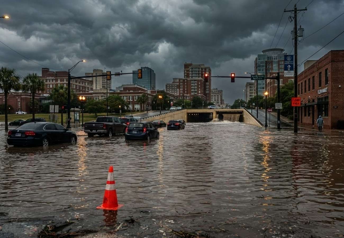
Image generated by AI
Flash flood warnings and sudden cloudbursts have paralyzed key transit points in Norfolk, leaving motorists stranded and highlighting a systemic failure in coastal drainage.
Intense thunderstorms centered over Norfolk, Virginia, have resulted in significant flash flooding across major thoroughfares and residential sectors. The weather event has not only disrupted local commutes but has also raised urgent questions regarding the city's climate resilience as a low-lying coastal community.
The disruption began on the evening of August 22, when slow-moving storm cells dropped an estimated 2 to 4 inches of rain over various parts of the city. This sudden volume of water overwhelmed local drainage systems, triggering flash flood warnings that extended beyond Norfolk to include Chesapeake, Portsmouth, and Virginia Beach.
Critical Transit Arteries and Affected Routes
The flooding has disproportionately impacted low-lying segments and underpasses, where water pools rapidly. This has created a ripple effect of congestion, particularly for those attempting to reach the downtown waterfront districts.
Several key arterial roads have been identified as high-risk zones during these rain events:
- Monticello Avenue
- Colley Avenue
- Colonial Avenue
- West Olney Road
In these areas, a combination of geographic depressions and proximity to waterways creates recurring "trouble spots." Reports indicate that multiple vehicles were abandoned in flooded lanes, requiring towing services to clear the wreckage before traffic could resume.
Beyond the main arteries, older residential neighborhoods have faced curb-to-curb flooding. In these districts, stormwater pipes often double as conduits for tidal flows, meaning that when capacity is exceeded, water backs up through grates and spills onto sidewalks and side streets.
The Intersection of Tidal Flow and Infrastructure Failure
Norfolk's vulnerability is not merely a result of rainfall but a complex interaction between geography and aging infrastructure. The city's position at the confluence of multiple waterways makes it susceptible to land subsidence and rising sea levels.
A critical factor in these disruptions is the "tidal block." During high tide, decades-old stormwater pipes can partially fill with seawater before a storm even begins. When intense rainfall occurs simultaneously with an elevated tide, the rainwater has no available path to drain, leading to immediate surface flooding even in areas not adjacent to overflowing rivers.
This pattern has become increasingly frequent, with residents noting a surge in mobile flood alerts throughout August. The recurring nature of these events is driving a shift toward long-term mitigation, including the installation of enlarged pipes, upgraded pumping stations, and the construction of raised roadways.
Impact on Tourism and Regional Mobility
The economic and logistical impact extends to the visitor economy. Flooded approaches to hotels and restaurants create unpredictable journey times for tourists.
- Airport and Cruise Transfers: Flooded roads can delay arrivals and departures for cruise passengers and airport travelers.
- Navigation Errors: Visitors relying on GPS apps often find themselves routed onto streets that are temporarily submerged, as real-time mapping may not always reflect sudden flash floods.
- Vehicle Damage: Local mechanics have reported a spike in water-damage repairs following the August storms, specifically for vehicles that attempted to navigate deep underpasses.
Pedestrians and cyclists are similarly impacted, facing hidden hazards such as open manholes and debris concealed by standing water.
Safe Navigation Guidelines for Coastal Flooding
Public safety authorities emphasize a strict "turn around, don't drown" policy. As little as one foot of moving water can displace a small vehicle, while standing water often hides structural pavement failures.
Travelers navigating the Hampton Roads region during unsettled weather should adopt the following strategies:
- Monitor Real-Time Radar: Use official weather alerts to identify which neighborhoods are under active warnings.
- Avoid Underpasses: Steer clear of known low-lying corridors during heavy downpours.
- Allow Extra Transit Time: Build significant buffers into itineraries for airport or cruise connections.
- Utilize Public Transport: Where available, buses may be rerouted to higher ground, providing a safer alternative to private vehicle travel.
Norfolk Flood Impact Summary
| Impact Category | Primary Effect | Affected Areas/Entities |
|---|---|---|
| Road Infrastructure | Flash flooding & stranded vehicles | Monticello, Colley, Colonial, and West Olney Ave |
| Regional Scope | Widespread travel delays | Norfolk, Chesapeake, Portsmouth, Virginia Beach |
| Rainfall Volume | 2 to 4 inches (estimated) | Various city sectors |
| Infrastructure Cause | Tidal backup & overwhelmed drains | Low-lying coastal zones & old pipe networks |
| Economic Impact | Increased vehicle repair demand | Local automotive service providers |
Key Takeaways
- Severe Rainfall: 2 to 4 inches of rain triggered flash floods across the Hampton Roads region on August 22.
- Infrastructure Weakness: Tidal flooding compounds rain events, as high tides block stormwater pipes from draining.
- High-Risk Zones: Monticello, Colley, Colonial, and West Olney Avenues are primary disruption points.
- Travel Warning: Visitors are urged to avoid flooded underpasses and monitor real-time radar to prevent vehicle damage.
FAQ
Which roads in Norfolk are most prone to flooding? Monticello Avenue, Colley Avenue, Colonial Avenue, and West Olney Road are frequently cited as high-risk corridors due to their low-lying nature and underpasses.
Why does Norfolk flood even when rivers aren't overflowing? This is often due to "tidal flooding," where high tides fill stormwater pipes, preventing rainwater from draining away from the streets.
What should I do if my navigation app routes me through a flooded street? Do not enter the water. Standing water can hide open manholes or be deep enough to stall your engine. Seek an alternate route via higher ground.
Planning for coastal travel now requires a closer eye on the tide charts than ever before.
Related Travel Guides
Disclaimer
This article is for informational and educational purposes only. It does not constitute legal, financial, or professional advice. While we strive to provide accurate and up-to-date information, travel policies, regulations, and conditions change rapidly. Always verify information with official sources before making travel decisions. Nomad Lawyer makes no representations about the accuracy, reliability, completeness, or suitability of the information provided. Readers should consult qualified professionals for advice specific to their circumstances. The views expressed in this article are those of the author and do not necessarily reflect the views of Nomad Lawyer.
Preeti Gunjan
Contributor & Community Manager
A passionate traveller and community builder. Preeti helps grow the Nomad Lawyer community, fostering engagement and bringing the reader experience to life.
Learn more about our team →