
Transit Alerts: Tropical Storm Moke Threatens Hawaii Big Island
Tropical Storm Moke tracks south of Hawaii, bringing heavy rainfall, flooding, and road hazards to the Big Island post Hurricane Lala.

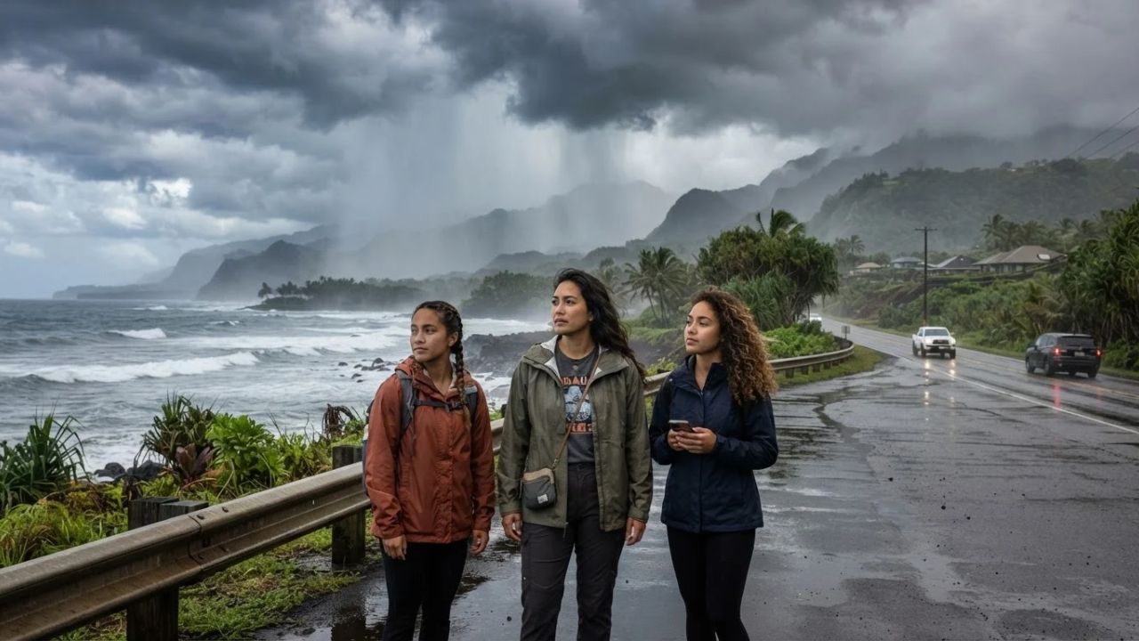
Image generated by AI
Tropical Storm Moke tracks south of Hawaii, bringing heavy rainfall, flooding, and road hazards to the Big Island post Hurricane Lala. The Hawai‘i Emergency Management Agency indicates that the moisture field extending north will saturate ground and create severe runoff risks.
The Vulnerability of Saturated Island Transit Systems
A critical focus in regional emergency management is the risk of consecutive storm events on island infrastructure. Historically, transport departments evaluated each weather system as an independent occurrence, assuming that roads and drainage grids would recover quickly between storms. In 2026, meteorologists analyze the cumulative saturation of slopes and soil, warning that a minor secondary tropical storm can trigger severe flash flooding and landslides when hitting areas recently damaged by a major hurricane.
By monitoring soil saturation alongside storm tracks, highway departments can declare early road closures and detours. This preventative system protects tourists from driving through vulnerable stream crossings and unstable mountain routes.
Tropical Storm Moke Tracking and Storm Parameters
The storm's speed and position present distinct hazards for coastal and mountain zones:
- Current Position: Located about 755 miles southeast of Hilo, moving west-northwest at 12 mph.
- Wind Strength: Maximum sustained winds reach 50 mph.
- Expected Track: Forecast to pass south of the Hawaiian islands, rather than making a direct landfall.
- Rainfall Projections: The Big Island expects 5 to 10 inches of rain, with isolated mountainous locations receiving up to 15 inches.
- Wetter Sectors: Focuses heavy precipitation across the windward and southeastern areas of the Big Island.
These rainfall metrics are significant because the storm follows closely behind another major weather system.
Preceding Hurricane Lala Impact and Recovery Context
The secondary storm arrives as communities and utility crews continue repairing recent damage:
- Lala Intensity: Passed close to the Big Island as a Category 1 hurricane before weakening.
- Damage Assessment: Saturated soil, damaged bridges, disrupted power lines, and damaged at least 100 homes.
- Airport Closures: Forced state transport officials to temporarily shut down Hilo International Airport and Ellison Onizuka Kona International Airport during the height of the storm.
- Emergency Resource Stress: Complicates the ongoing clearing of road debris and utility restoration by forcing emergency teams to monitor new flooding hazards.
This combined impact increases the risk of road washouts and mudslides along scenic coastal routes.
Hawaii Tropical Storm Moke Coordinates
The table below breaks down the storm coordinates, maximum wind speeds, rainfall projections, affected areas, historical comparisons, and coordinating emergency boards:
| Active System | Southeast of Hilo | Maximum Winds | Big Island Rainfall | Affected Island Sectors | Primary Emergency Board |
|---|---|---|---|---|---|
| Tropical Storm Moke | About 755 miles | 50 mph (moving WNW) | 5 to 10 inches (15" max) | Windward & southeastern | Hawai‘i Emergency Agency |
| Hurricane Lala | Passed close | Category 1 winds | Heavy flooding | 100 homes damaged | National Weather Service |
| Hilo & Kona Airports | Temporary closures | Wind & rain delays | Runway safety checks | Recovery routes | Dept of Transportation |
These coordinates outline the storms, parameters, rainfall, affected zones, impacts, and boards established for the Hawaii weather alert.
Resource Stewardship and Safe Island Travel
For the traveler, the benefit of choosing official warning channels (such as NWS alerts or state emergency bulletins) over general weather apps is the accuracy of localized hazard reports. Staying clear of active flooding zones ensures that emergency services can focus their resources on rebuilding damaged communities.
Additionally, respecting trail closures in national parks (like Hawaii Volcanoes National Park) prevents hikers from becoming stranded in remote locations. Planning indoor museum or cultural visits during heavy rain protects travelers and reduces vehicle travel on wet highways.
For comparison, you can explore the changing dynamics of Stimulus Launch: Taiwan Unveils Billion-Dollar Repeat Visitor Rewards to see how destinations promote visitor spend. For transit updates, comparing travel scheduling matches other networks, such as Border Controls: US Visa Bond Program Rules Impact Pacific Nations updates. This trend is similar to the tourism growth seen in other destinations, as detailed in our guide on the Hacienda Heights Bus Fire Transport Safety regulations.
Visitor Insider Tips: Managing Island Storm Conditions
If you are planning to travel to the Big Island during the storm passage, keep these practical tips in mind:
- Reconfirm Flight Sectors Separately: Check both your mainland flight and inter-island transfer statuses online before heading to Hilo or Kona terminals.
- Do Not Cross Flooded Gullies: A road may appear passable, but rising stream waters can wash away rental vehicles quickly.
- Avoid Mountain and Valley Trails: Cancel hiking or volcano sightseeing trips during heavy rain to avoid flash floods and landslides.
- Verify Hotel Power Status: Confirm with your resort if they have backup power, as utility grids are still recovering from Hurricane Lala.
- Pack Essential Travel Documents: Keep passports, tickets, and travel insurance details in waterproof cases in your carry-on bags.
Long-Term Outlook for Hawaii Transport Infrastructure
The long-term outlook for transit in Hawaii is focused on raising low-lying coastal highways, installing reinforced drainage culverts along mountain routes, and upgrading runway drainage systems at Hilo and Kona. As tropical storm seasons present challenges, civil aviation and state emergency boards will cooperate to maintain safety codes.
By developing resilient transit corridors and protecting local communities, the travel sector aims to build a sustainable transport network.
FAQ
Is Tropical Storm Moke forecast to make direct landfall?
No. The storm is expected to track south of the Hawaiian islands, though its northern moisture field will bring heavy rain to the Big Island.
What are the rainfall projections for the Big Island?
The Big Island is forecast to receive between five and ten inches of rain, with isolated spots getting up to fifteen inches.
Which airports were affected by the recent Hurricane Lala?
State transportation officials temporarily closed Hilo International Airport and Ellison Onizuka Kona International Airport during the hurricane.
How did Hurricane Lala affect the Big Island?
The Category 1 hurricane caused flooding, bridge damage, power outages, and damaged at least one hundred homes.
Stay updated on the regional travel regulations and weather warnings shaping Hawaii transit.
Related Travel Guides
Disclaimer
This article is for informational and educational purposes only. It does not constitute legal, financial, or professional advice. While we strive to provide accurate and up-to-date information, travel policies, regulations, and conditions change rapidly. Always verify information with official sources before making travel decisions. Nomad Lawyer makes no representations about the accuracy, reliability, completeness, or suitability of the information provided. Readers should consult qualified professionals for advice specific to their circumstances. The views expressed in this article are those of the author and do not necessarily reflect the views of Nomad Lawyer.
Raushan Kumar
Founder & Lead Developer
Full-stack developer with 11+ years of experience and a passionate traveller. Raushan built Nomad Lawyer from the ground up with a vision to create the best travel and law experience on the web.
Learn more about our team →