
Greece Upgrades Diapontia Islands Port Facilities and Corfu Ferry Connections Under Sustainable Ionian Archipelago Strategy for 2026
Greece announces port infrastructure upgrades and enhanced ferry links connecting Corfu to the Diapontia Islands (Othonoi, Mathraki, and Ereikousa).

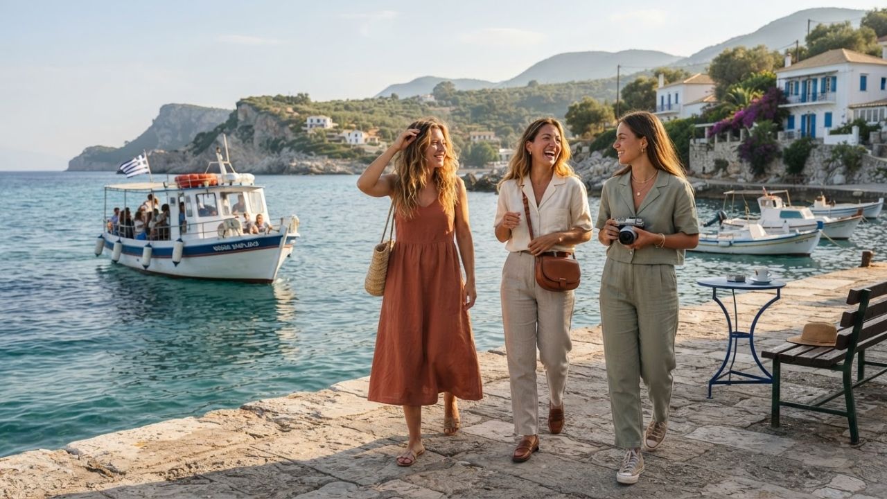
Image generated by AI
The Ministry of Tourism of Greece has announced a targeted infrastructure strategy to upgrade port facilities and maritime transport links connecting Corfu with the Diapontia Islands (Othonoi, Mathraki, and Ereikousa). Following official site inspections on August 24, 2026, the plan establishes low-density, sustainable island-hopping corridors across the northwestern Ionian Archipelago.
Greece is expanding its sustainable tourism model by directing visitor movement toward lesser-known island clusters while safeguarding local community character. Tourism Minister Olga Kefalogianni and Ionian Islands Regional Governor Yiannis Trepeklis conducted a joint delegation visit on August 24, 2026, to inspect harbor facilities, outline land infrastructure funding, and establish a long-term destination management framework for the Diapontia group.
Maritime Infrastructure Strategy Across the Diapontia Archipelago
Situated off the northwestern coast of Corfu, the Diapontia Islands represent the westernmost territory of Greece. Because these remote island communities lack airports, their economic viability and resident mobility rely entirely on maritime ferry links with northern Corfu.
The government's development model focuses on enhancing transport resilience, improving port berths, and expanding seasonal maritime frequencies from Corfu. This strategy enables international travelers staying on Corfu to easily incorporate multi-island day trips and overnight slow-travel itineraries.
+-----------------------------------------------------------------------------------+
|               DIAPONTIA ISLANDS MARITIME & TRANSIT CONNECTIONS                    |
+-----------------------------------------------------------------------------------+
|  MAINLAND CORFU GATEWAYS               SEA ROUTES               DIAPONTIA ISLANDS |
|                                                                                   |
|  Agios Stefanos Avliotes Port ---\                              Othonoi           |
|  (Northwest Corfu Pier)          |                              (12 NM / 30 km    |
|                                  |==[Passenger & Cargo Ferry]==> Coastline)       |
|  Sidari Harbor ------------------|  (Year-Round & Seasonal Links)                 |
|                                  |                              Mathraki &        |
|  Corfu Town Port (Kerkyra) ------/                              Ereikousa         |
+-----------------------------------------------------------------------------------+
Individual Island Characteristics and Geographical Parameters
The strategy coordinates individual development plans tailored to the distinct scale and natural environment of each island:
- Othonoi (Northwesternmost Point of Greece): As the largest island in the cluster, Othonoi features a coastline spanning 30 kilometers and is located approximately 12 nautical miles from northern Corfu. It offers secluded coves, traditional stone settlements, and historic maritime lighthouses.
- Mathraki: The smallest of the three islands, Mathraki is characterized by compact harbour bays, sandy beaches, and quiet footpaths, linked to Corfu via small-boat harbour transfers.
- Ereikousa: Located closest to northern Corfu, Ereikousa provides a low-density green environment with shallow sandy bays ideal for sailing and marine excursions.
Diapontia Island Infrastructure and Transit Specifications
Official parameters established by the Ministry of Tourism, the Region of Ionian Islands, and municipal authorities outline the scope of the project:
| Parameter | Official Specification |
|---|---|
| Geographic Location | Ionian Sea, Northwest of Corfu, Greece |
| Primary Gateway Port | Agios Stefanos Avliotes & Sidari (Northern Corfu) |
| Distance to Othonoi | Approx. 12 nautical miles from northern Corfu |
| Othonoi Coastline | 30 kilometers of natural maritime coastline |
| Target Travel Demographics | Slow travelers, nature tourists, sailors, hikers |
| Managing Governance Body | Ionian Islands Destination Management Organisation (DMMO) |
| Regulatory Policy Framework | Special Spatial Planning Framework for Tourism |
Traveler Logistics & Island-Hopping Ferry Routes
Travelers seeking an authentic, uncrowded Ionian island experience can navigate the Diapontia group via organized ferry routes from Corfu.
Ferry Access and Departure Hubs
- From Agios Stefanos Avliotes (Northwest Corfu): The primary year-round passenger and vehicle ferry terminal serving Othonoi, Mathraki, and Ereikousa.
- From Sidari: Seasonal high-speed passenger passenger launches operate morning excursions to Ereikousa and Mathraki during summer months (May through September).
- From Corfu Town Port (Kerkyra): Regional passenger ferries operate scheduled multi-stop services connecting the capital port to all three Diapontia islands.
Traveler Optimization Tips
- Weather Buffer Allowance: Maritime transit across the northern Ionian Sea can be subject to localized wind variations (meltemi or squalls). Travelers should build a 24-hour buffer when connecting to onward flights at Corfu International Airport (CFU).
- Accommodation Planning: Because guesthouse capacity on Mathraki and Ereikousa is limited, visitors planning overnight stays should book family-run accommodations well in advance.
- Specialized Eco-Tourism Activities: The islands are best explored on foot or by boat; marked hiking trails link Othonoi's interior hamlets to Calypso Cave and Fyki Bay.
Governance Framework and Special Spatial Planning Controls
To prevent over-commercialization, the Greek government is managing growth through the newly established Destination Management and Promotion Organisation (DMMO) for the Ionian Islands Region. Concurrently, the joint Special Spatial Planning Framework for Tourism—signed by the Ministry of Tourism and the Ministry of Environment and Energy—imposes strict building density limits and environmental protections across small island ecosystems.
This balanced policy ensures that enhanced ferry connections and upgraded port facilities generate local economic resilience for permanent residents without altering the quiet identity of Greece's smallest island communities.
Related Travel Guides
Spain Leads 15% Canadian Tourism Surge as Mediterranean Demand Outpaces Portugal and Italy in 2026
Sardinia Redefines Mediterranean Alternative Tourism Beyond Saturated Beaches in 2026
The 10 Best Hidden Gem Greek Islands in the Ionian Sea, According To Reddit
Disclaimer
This article is for informational and educational purposes only. It does not constitute legal, financial, or professional advice. While we strive to provide accurate and up-to-date information, travel policies, regulations, and conditions change rapidly. Always verify information with official sources before making travel decisions. Nomad Lawyer makes no representations about the accuracy, reliability, completeness, or suitability of the information provided. Readers should consult qualified professionals for advice specific to their circumstances. The views expressed in this article are those of the author and do not necessarily reflect the views of Nomad Lawyer.
Raushan Kumar
Founder & Lead Developer
Full-stack developer with 11+ years of experience and a passionate traveller. Raushan built Nomad Lawyer from the ground up with a vision to create the best travel and law experience on the web.
Learn more about our team →