
Canada Revises Hours at Nine British Columbia Border Crossings for Winter 2026–2027 Travel to the US

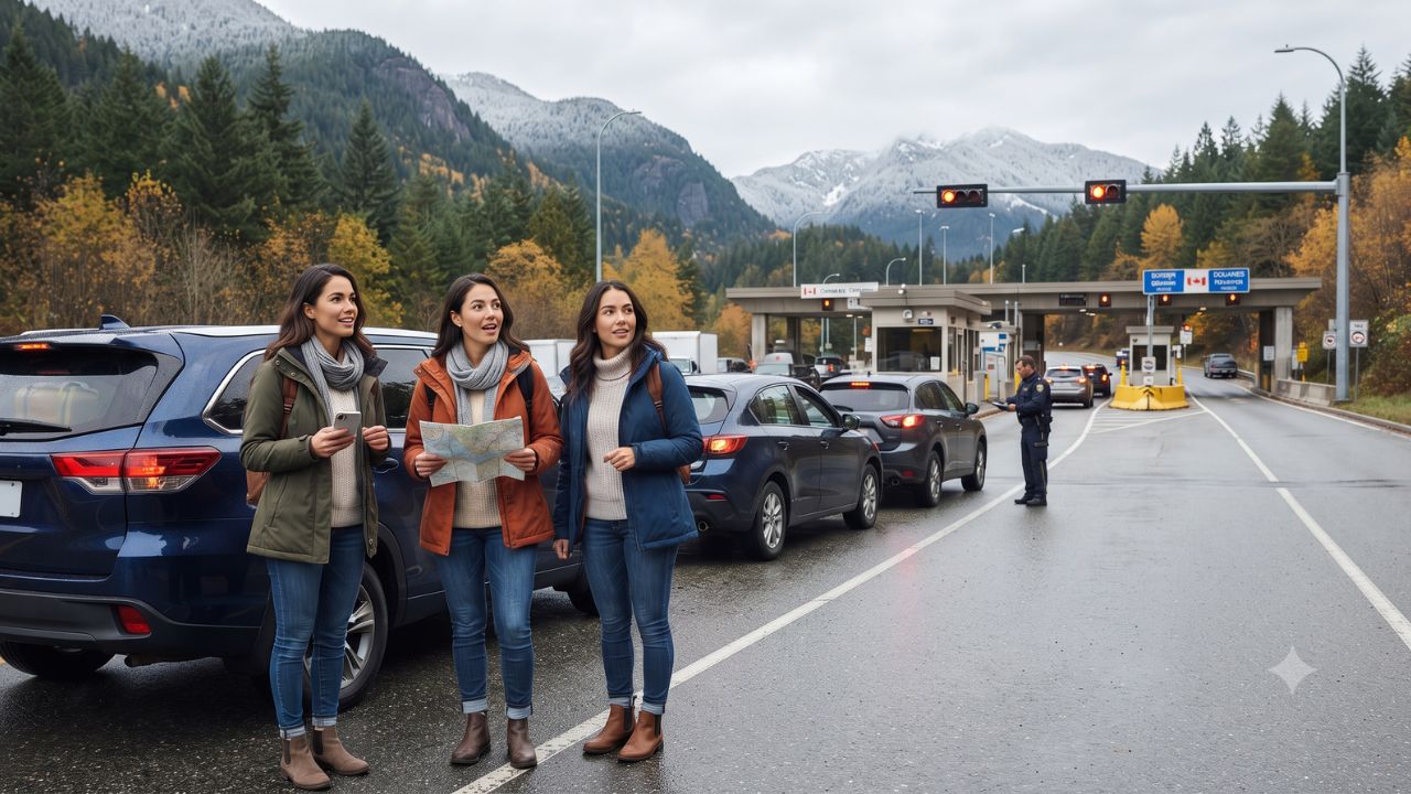
Crossing from Washington into British Columbia this winter means stepping across both an international boundary and a newly permanent time warp. When your vehicle rolls through customs between 1 November 2026 and 14 March 2027, your dashboard clock will suddenly jump forward sixty minutes, reflecting British Columbia's formal break from seasonal time changes. Across nine rural and northern land ports of entry, the Canada Border Services Agency is adjusting daily opening schedules to prevent cross-border travelers from arriving at shuttered gates in sub-zero mountain weather.
The Time Gap Reshaping Pacific Northwest Road Corridors
The administrative catalyst behind these revised border hours stems directly from British Columbia's historic transition to permanent daylight saving time. Following its final seasonal clock shift on 8 March 2026, the province locked its standard time to UTC−7 year-round, formally establishing Pacific Time (PCT) in September 2026 to ensure public scheduling stability. While British Columbia eliminated the autumn clock rollback, neighboring American jurisdictions continue the biannual tradition. When United States daylight saving time concludes at 2:00 am on 1 November 2026, Washington shifts to Pacific Standard Time (PST at UTC−8), falling one hour behind British Columbia. Farther north, Alaska shifts to Alaska Standard Time (AKST at UTC−9), sitting two full hours behind the Canadian province.
To keep inspection lanes synchronized with counterpart American checkpoints, the Canada Border Services Agency confirmed an updated operating timetable on 9 October 2026. The revised schedule takes effect at 2:00 am Pacific Time on 1 November 2026 and governs passenger and commercial traffic until 2:00 am Pacific Time on 14 March 2027. Seven of the adjusted facilities span the Washington boundary across the Fraser Valley, Boundary Country, Similkameen, and West Kootenay districts, while two northern gates anchor subarctic highway connections linking British Columbia with Alaska.
The adjustments do not signal border closures, heightened security hurdles, or altered visa requirements. However, for motorists tackling long stretches of highway between remote mountain valleys, misunderstanding which nation's clock dictates terminal gates can turn a scenic afternoon drive into an unexpected overnight stranding.
Official Winter Operating Hours Across Nine British Columbia Ports of Entry
The revised timetable divides international land ports into distinct operating tiers. Three busy corridors—Aldergrove, Fraser, and Pleasant Camp—provide 16-hour traveler processing daily. Carson and Cascade offer 12-hour daytime windows, Nelway maintains a 10-hour schedule, while Chopaka, Midway, and Waneta restrict entry to an eight-hour daytime bracket. Commercial transport processing at six crossings remains strictly limited to weekday hours, excluding statutory holidays.
| Canadian Crossing & Neighboring US Port | Traveler Operating Hours (BC Local Time) | Commercial Processing Hours (BC Local Time) | Daily Traveler Window |
|---|---|---|---|
| Aldergrove – Lynden, Washington | 9:00 am – 1:00 am next day, daily | 9:00 am – 1:00 am next day, daily | 16 Hours |
| Carson – Danville, Washington | 9:00 am – 9:00 pm, daily | 9:30 am – 5:30 pm, Monday–Friday | 12 Hours |
| Cascade – Laurier, Washington | 9:00 am – 9:00 pm, daily | 9:00 am – 6:00 pm, Monday–Friday | 12 Hours |
| Chopaka – Nighthawk, Washington | 10:00 am – 6:00 pm, daily | 10:00 am – 6:00 pm, Monday–Friday | 8 Hours |
| Fraser – Skagway, Alaska | 9:00 am – 1:00 am next day, daily | 9:00 am – 1:00 am next day, daily | 16 Hours |
| Midway – Ferry, Washington | 10:00 am – 6:00 pm, daily | 10:00 am – 6:00 pm, Monday–Friday | 8 Hours |
| Nelway – Metaline Falls, Washington | 9:00 am – 7:00 pm, daily | 9:30 am – 5:30 pm, Monday–Friday | 10 Hours |
| Pleasant Camp – Dalton Cache / Haines, Alaska | 9:00 am – 1:00 am next day, daily | 9:00 am – 1:00 am next day, daily | 16 Hours |
| Waneta – Boundary, Washington | 10:00 am – 6:00 pm, daily | 10:00 am – 5:30 pm, Monday–Friday | 8 Hours |
All operating hours are measured in British Columbia Pacific Time (UTC−7). Motorists crossing south toward Washington must remember that while Aldergrove lists operations from 9:00 am to 1:00 am BC time, the Lynden facility operates from 8:00 am to midnight Pacific Standard Time. Both descriptions represent identical chronological windows, yet mismatched clocks on digital boarding passes, rental car contracts, and mapping applications frequently confuse drivers.
When emergencies or travel delays prevent motorists from reaching regional ports before evening curfews, 24-hour commercial crossings—including Peace Arch, Pacific Highway, and Sumas—remain open. However, diverting to round-the-clock terminals in the Lower Mainland from isolated mountain passes along Highway 3 or Highway 6 can add upwards of four to six hours of treacherous detour driving.
Connecting Mountain Valleys and Subarctic Corridors
The geographic dispersion of these nine crossings highlights the varied terrain of western Canadian road travel. In the agricultural lowlands of the Fraser Valley, Aldergrove connects Highway 13 with Washington State Route 539, providing an essential bypass around metropolitan Vancouver for motorists heading toward Bellingham and Seattle.
East of the Cascade Mountains, the crossings at Chopaka, Midway, Carson, Cascade, and Waneta serve intimate ranching, fruit-growing, and mining settlements. Highway 6 links Nelway directly to the heritage mountain hub of Nelson, threading through the Selkirk range where winter storms deposit dense Pacific snowpacks. When ports like Chopaka or Waneta shut their gates at 6:00 pm, travelers caught on two-lane mountain highways face freezing passes with minimal roadside services.
In the far north, Fraser and Pleasant Camp anchor subarctic access routes vital to the legendary Golden Circle touring circuit. Fraser sits along the South Klondike Highway, climbing steeply from the coastal port of Skagway, Alaska, across White Pass into Yukon territory. Pleasant Camp marks the border along the Haines Highway, connecting Haines, Alaska, through northwestern British Columbia toward Haines Junction and Whitehorse. These high-latitude corridors draw independent adventurers eager to experience winter road expeditions, frozen alpine summits, and northern lights displays, where calculating border closing times alongside fleeting daylight hours becomes a matter of backcountry survival.
Economic Momentum and Regional Travel Growth
The operational recalibration arrives amid substantial momentum in cross-border tourism. According to official data from Statistics Canada, United States residents made approximately 3.5 million trips into Canada during July 2026, representing a 9.1% year-on-year increase. Automobile arrivals formed the bedrock of this traffic, totaling approximately 2.1 million vehicle crossings—a 7.5% rise over July 2025—with overnight stays accounting for 56.5% of all automobile entries. Preliminary indicators for August 2026 recorded 2,433,730 combined automobile and air entries by American residents, up 2.4% year on year.
These figures illustrate why operational clarity at land border gates remains vital to provincial prosperity. Under the provincial Tourism Sector Action Plan released in March 2026, Destination British Columbia highlighted that visitor spending generates approximately C$23 billion in annual provincial revenue and contributes C$8 billion directly to provincial GDP. The industry supports over 113,000 direct jobs across nearly 17,000 tourism enterprises, with provincial authorities pursuing a long-term economic goal of expanding annual tourism revenue to C$48 billion by 2036. Smooth international transit through regional mountain gateways directly supports the small-scale lodges, wilderness guiding outfits, and rural communities that sustain this visitor economy.
Visitor Insider Tips for Cross-Border Winter Driving
- Calibrate Vehicle Clocks Manually: When entering British Columbia from Washington or Alaska, modern in-vehicle navigation systems often take thirty to sixty minutes of driving through remote mountain valleys before cell tower signals trigger automatic time updates. Manually adjust your dashboard clock forward one hour after crossing from Washington, and two hours when driving out of Alaska, to ensure your evening itinerary matches local restaurant, hotel check-in, and ferry timetables.
- Inspect Mountain Highway Tires Before Leaving: The British Columbia Ministry of Transportation mandates winter tires marked with the Three-Peak Mountain Snowflake symbol or M+S designation (minimum 3.5 mm tread depth), or commercial chains, across designated routes from 1 October through 30 April. Commercial and private passenger vehicles lacking legal winter rubber risk fines and turnarounds at police inspection checkpoints along Highway 3 and Highway 6.
- Track Mountain Passes on DriveBC: Never embark on cross-border interior routes without monitoring live webcams and road condition updates via DriveBC. Avalanche control work along the Kootenay Pass and Allison Pass frequently closes highways for three to eight hours with little advance warning between December and March, when snow accumulation peaks.
- Pack Cold-Weather Emergency Supplies: Rural border crossings like Midway, Chopaka, and Nelway sit miles from full-service towns. If you miss an evening gate closure, turning back requires traversing dark, icy logging roads. Always carry a rated sub-zero sleeping bag, emergency candles, high-calorie food rations, traction sand, a compact metal snow shovel, and a satellite messaging device.
- Honor Local Valley Etiquette: In historic border communities like Grand Forks (near Carson) and Salmo (near Nelway), small-town cafes, fuel depots, and family-owned markets often close early during winter. Top up your fuel tank when gauges hit half, and respect local wildlife corridors along river valleys where elk and deer frequent unlit highway shoulders at dusk.
Cultural and Environmental Context
The international boundary traversing southern British Columbia cuts across the ancestral territories of the Syilx Okanagan, Ktunaxa, and Sinixt peoples, whose trade routes and seasonal hunting trails predated customs posts by millennia. Today, cross-border cultural events, Indigenous gatherings, and familial ties span the 49th parallel, creating closely knit valley communities where daily life relies on frictionless movement.
Environmentally, these border corridors cross sensitive mountain ecosystems and critical wildlife corridors. The jagged mountain passes surrounding Nelway, Cascade, and Fraser provide vital refuge for grizzly bears, mountain caribou, and wolverines migrating between protected provincial parks and United States national forests. Winter highway maintenance crews balance rigorous snow removal with strict environmental safeguards, managing avalanche hazards that stretch from November into May while minimizing salt runoff into pristine alpine watersheds. By planning border crossings around daylight hours and respecting seasonal closures, travelers help preserve the delicate equilibrium between backcountry recreation and wilderness conservation.
FAQ: Crossing the British Columbia Border in Winter 2026–2027
Why did Canada change border crossing hours in British Columbia?
British Columbia adopted permanent daylight saving time on 8 March 2026, creating a one-hour difference with Washington and a two-hour difference with Alaska each winter. The Canada Border Services Agency adjusted hours to coordinate Canadian inspection operations with neighboring American border stations.
Which British Columbia border crossings offer 24-hour access?
Major commercial ports in the Lower Mainland—including Peace Arch, Pacific Highway, and Sumas—remain open 24 hours daily. None of the nine adjusted rural or northern crossings operate around the clock during the winter season.
Do I need new travel documents or visas under the new timetable?
No. Standard entry requirements remain unchanged. United States citizens require valid passports or Western Hemisphere Travel Initiative documents, while international visitors must hold appropriate passports, electronic travel authorizations, or Canadian visas.
When will regular border operating schedules resume?
The winter operating timetable remains in place until 2:00 am Pacific Time on 14 March 2027, when the United States resumes daylight saving time and synchronizes standard clocks across the international boundary.
When winter envelops the Pacific Northwest, successful mountain journeys reward drivers who honor the clock as carefully as the contours of the snowbound road.
Related Travel Guides
Disclaimer
This article is for informational and educational purposes only. It does not constitute legal, financial, or professional advice. While we strive to provide accurate and up-to-date information, travel policies, regulations, and conditions change rapidly. Always verify information with official sources before making travel decisions. Nomad Lawyer makes no representations about the accuracy, reliability, completeness, or suitability of the information provided. Readers should consult qualified professionals for advice specific to their circumstances. The views expressed in this article are those of the author and do not necessarily reflect the views of Nomad Lawyer.
Raushan Kumar
Founder & Lead Developer
Full-stack developer with 11+ years of experience and a passionate traveller. Raushan built Nomad Lawyer from the ground up with a vision to create the best travel and law experience on the web.
Learn more about our team →