
El Niño Winter Alert: Dam Deficiencies and Flood Travel Disruption Across California, Texas, and the Carolinas
With NOAA forecasting near-100% El Niño odds for California and the southern tier, over 1,500 below-satisfactory dams heighten flood, landslide, and highway detour risks.

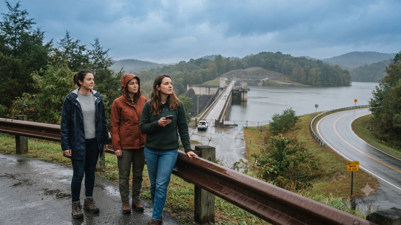
An 83 percent probability that strong El Niño conditions will persist through early 2027—reaching a near-100 percent likelihood in California—converges with more than 1,500 impaired dams across the southern United States, elevating regional highway closure and flood risks ahead of the winter travel season. Climate projections released by the National Oceanic and Atmospheric Administration (NOAA) indicate an intensified subtropical jet stream delivering above-average precipitation across a continuous southern belt extending from the Pacific coast through the desert Southwest, Texas, and the Atlantic Southeast. While regulatory agencies emphasize that catastrophic dam collapses remain improbable, emergency management divisions are alerting holiday motorists that atmospheric rivers and heavy rain will prompt preventative spillway discharges, debris flows, riverbank inundation, and prolonged mountain transit detours.
Multi-State Infrastructure Inventories and Condition Assessments
State dam safety registries reveal deep operational disparities in how ageing flood barriers handle prolonged hydrological strain. In California, the Division of Safety of Dams within the California Department of Water Resources regulates 1,236 jurisdictional barriers. Approximately 10 percent—or 124 structures—are assessed below Satisfactory, designated under technical categories of Fair, Poor, or Unsatisfactory. To mitigate these vulnerabilities, the state allocated $464 million across two rounds of Proposition 4 funding through its Dam Safety and Climate Resilience Local Assistance Program, supplemented by up to $228 million in the 2026 program cycle. These initiatives follow the completed $235 million overhaul of Oroville Dam’s River Valve Outlet System following its 2017 spillway crisis.
In Texas, the Texas Commission on Environmental Quality (TCEQ) monitors a much larger inventory totaling 4,119 regulated dams. Among these, 1,542 are categorized as high-hazard and 306 as significant-hazard structures. Of those currently inspected, 378 are classified in Fair or Poor condition. Although the state inspected 78 percent of its high- and significant-hazard inventory over the five years leading into fiscal 2024, the presence of hundreds of un-rehabilitated earthen embankments poses recurring challenges for flash-flood-prone Hill Country low-water crossings.
The most severe concentration of structural deficiency appears in South Carolina. Overseeing more than 2,200 regulated structures, state officials documented in the 2025 State of the Dams report that over 1,000 dams are rated Poor or Unsatisfactory, requiring immediate structural remediation or decommissioning. The state remains acutely sensitive to extreme precipitation, having experienced 70 regulated dam failures during the historic 1,000-year rainstorms and hurricanes of 2015 and 2016.
| State Jurisdiction | Total Regulated Dam Inventory | Identified Below-Satisfactory Structures | Documented High-Hazard Structures | Active Resilience Budgets & Recent Flood Precedents |
|---|---|---|---|---|
| California | 1,236 jurisdictional dams | Approximately 124 (Fair, Poor, Unsatisfactory) | Graded under DSOD hazard tiers | $464M Prop 4 funds; $235M Oroville outlet completion |
| Texas | 4,119 regulated dams | 378 inspected dams in Fair or Poor condition | 1,542 high-hazard; 306 significant | 78% 5-year inspection rate on priority dams (FY2024) |
| South Carolina | 2,200+ regulated dams | 1,000+ rated Poor or Unsatisfactory | Extensive private & municipal dams | 70 dam failures during 2015–2016 hurricanes |
| North Carolina | 3,000+ total dams | ~40 damaged in Helene; 36 high-hazard | High concentration in western mountains | $10M Dam Safety Grant Fund ($6.6M and $3.4M tranches) |
| Georgia | 4,600+ total dams | 150+ high-hazard watershed dams needing upgrades | Ageing 1950s–1970s federal flood structures | State rehabilitation and structural upgrade programs |
| Arizona | ~240 non-federal dams | Managed via formal Unsafe Dam priority list | Monitored by Department of Water Resources | Prioritized structural remediation cycles |
| New Mexico | 400+ total dams | Nearly 300 under state jurisdiction | Graded by State Engineer guidelines | Extreme precipitation tracking and spillway mapping |
Mountain Washouts, Earthen Berms, and Hurricane Legacies
Across the Southern Appalachian corridor, water management challenges intersect with hurricane recovery. In North Carolina, structural engineering teams inspected more than 400 mountain dams following the devastating inland floods of Hurricane Helene. Inspections identified approximately 40 damaged barriers, including 36 high-hazard dams. To prevent secondary failures during the incoming El Niño cycle, North Carolina deployed a $10 million Dam Safety Grant Fund, allocating initial contracts of $6.6 million and $3.4 million to shore up compromised mountain impoundments.
In neighboring Georgia, the state environmental protection division oversees more than 4,600 dams, where over 150 high-hazard watershed structures originally erected between the 1950s and 1970s require structural modernization to withstand heavier peak runoffs. In the arid Southwest, Arizona actively tracks non-federal impoundments on an official Unsafe Dam priority schedule, while New Mexico’s Office of the State Engineer manages nearly 300 state-jurisdictional dams using advanced extreme-precipitation predictive modeling.
For motorists, recreational campers, and road-trippers, the primary hazard during an El Niño winter is rarely a full structural breach. Instead, the acute disruption manifests as flash flooding across river valleys, mudslides severing canyon routes, dynamic reservoir level fluctuations, and precautionary park closures mandated by emergency coordinators working with the Federal Emergency Management Agency (FEMA).
Expert Analysis: High-Hazard Misconceptions, Spillway Hydraulics, and Transit Corridor Vulnerabilities
For travelers booking winter routes through the southern states, understanding the technical terminology used in state emergency bulletins is essential to avoiding unnecessary trip cancellations while staying protected against genuine transit hazards.
A widespread public misconception equates a "high-hazard" dam with an unstable structure imminent to fail. In hydraulic engineering, a hazard classification measures only the hypothetical downstream consequences if a dam were to breach, specifically the potential for human fatalities or the presence of more than 1,000 residents within the inundation zone. A high-hazard dam can be in pristine structural condition, while an unrated agricultural pond dam could be on the verge of collapse.
The immediate operational risk for travelers stems from spillway hydraulics. When winter atmospheric rivers drop excessive water volumes over saturated mountain catchments, reservoir operators must open control gates to protect structural integrity. These controlled high-volume water releases intentionally fill downstream floodways, submerging secondary highways, washing out culverts, and forcing highway departments to close critical arteries like California Route 1, Texas Farm-to-Market corridors, and rural South Carolina bridges.
For travelers, the direct consequence is severe route fragmentation. Road detours in mountainous or rural regions routinely add two to four hours of driving time. Furthermore, standard travel insurance policies strictly condition flood-related cancellation claims on official government road closures or mandatory evacuation orders, meaning that travelers who alter plans pre-emptively without formal civil warnings forfeit non-refundable hotel and rental car deposits.
Key Takeaways
- El Niño Climate Forcing: NOAA forecasts a strong El Niño extending through March 2027 with greater than 83 percent probability, bringing above-average winter rain to the entire southern tier.
- California Readiness: The state monitors 1,236 dams, with roughly 124 assessed below Satisfactory, backed by $464 million in Proposition 4 resilience funding.
- Regional Structural Pressures: Texas reports 378 inspected dams in Fair or Poor condition, while South Carolina documents over 1,000 Poor or Unsatisfactory structures.
- Post-Helene Mountain Repairs: North Carolina is investing $10 million to stabilize approximately 40 dams damaged during Hurricane Helene, including 36 high-hazard barriers.
- Travel Transit Hazards: Primary traveler disruptions include closed low-water crossings, canyon mudslides, and river recreation access bans resulting from preventative reservoir releases.
FAQ: El Niño Dam Safety & Winter Travel 2026–2027
Does a high-hazard dam rating mean the structure is unsafe?
No. High-hazard refers strictly to the potential loss of life or property damage downstream if a hypothetical failure occurred, not the physical condition or stability of the dam itself.
How will El Niño winter storms affect highway road trips?
Heavy winter rainfall frequently prompts reservoir spillway releases that submerge low-water bridges, trigger debris flows in mountain canyons, and lead to temporary closures on rural highways.
Which states report the highest numbers of deficient dams?
South Carolina reports over 1,000 dams rated Poor or Unsatisfactory, Texas records 378 inspected dams in Fair or Poor condition, and California lists approximately 124 below Satisfactory.
Where can motorists verify active flood closures and road safety?
Travelers should consult state Department of Transportation 511 traveler information systems, local emergency management feeds, and National Weather Service flood watches before driving through canyon or riverside areas.
Understanding that winter highway disruptions stem from controlled flood releases rather than catastrophic failures allows travelers to navigate an El Niño season with realistic caution.
Related Travel Guides
Mexico Pacific Coast Hurricane Simon Tropical Storm Trudy Travel Alert 2026
10 Best Winter Road Trip Safety Tips Across the American South, According to Reddit
Disclaimer
This article is for informational and educational purposes only. It does not constitute legal, financial, or professional advice. While we strive to provide accurate and up-to-date information, travel policies, regulations, and conditions change rapidly. Always verify information with official sources before making travel decisions. Nomad Lawyer makes no representations about the accuracy, reliability, completeness, or suitability of the information provided. Readers should consult qualified professionals for advice specific to their circumstances. The views expressed in this article are those of the author and do not necessarily reflect the views of Nomad Lawyer.
Raushan Kumar
Founder & Lead Developer
Full-stack developer with 11+ years of experience and a passionate traveller. Raushan built Nomad Lawyer from the ground up with a vision to create the best travel and law experience on the web.
Learn more about our team →