
NOAA Issues Flash Flood Warning for Texas, Oklahoma, Kansas, and Missouri October 14-16 2026
A slow-moving weather system threatens the Central US with rainfall exceeding 3 inches, triggering Slight Risk flood alerts across four states from October 14 to 16, 2026.

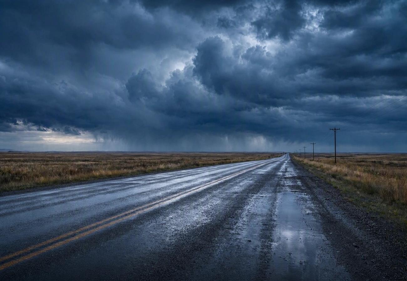
Image generated by AI
More than 3 inches of localized rainfall are projected to hit the Central United States between 14 and 16 October 2026, according to the latest models from the National Oceanic and Atmospheric Administration (NOAA). A slow-moving weather system is currently drawing an abnormal volume of moist air across the Lower Missouri Valley, the Central Plains, and the Southern High Plains, creating a volatile environment for flash flooding.
Atmospheric Drivers of the Central US Flood Threat
The current meteorological instability is driven by an upper-level low-pressure system migrating from the western United States toward the Rockies. This system is interacting with a stagnant surface weather boundary, which effectively traps moisture over a specific corridor.
Data from the National Oceanic and Atmospheric Administration (NOAA) indicates that atmospheric moisture levels in the affected corridor are currently two to three standard deviations above historical norms. When this extreme moisture meets the organizing frontal boundaries, the result is "training"—a phenomenon where thunderstorms repeatedly move over the same geographic area, compounding rainfall totals and overwhelming the soil's natural absorption capacity.
Regional Risk Breakdown and Forecast Timeline
The Weather Prediction Center (WPC) has categorized the risk levels based on the probability of rainfall exceeding flash-flood guidance within a 25-mile radius of any given point. While a "Slight Risk" does not guarantee widespread flooding, it signals a high probability of scattered flash floods in vulnerable zones.
Flood Risk Schedule: October 13–16, 2026
| Date | Forecast Area | Risk Category | Expected Conditions |
|---|---|---|---|
| 13 October | Central & Southern Plains | Marginal Risk | Initial thunderstorms; isolated flooding |
| 14 October | Southern High Plains, Central Plains, Lower Missouri Valley | Slight Risk | Persistent heavy rain; flash flood potential |
| 15 October | Southern/Central Plains $\rightarrow$ Lower Missouri Valley | Slight Risk | Continued runoff; repeated storm cells |
| 16 October | Central US (evolving system) | Variable | Transition phase; risk ends at 12:00 UTC |
State-Specific Vulnerabilities
| State | Primary Areas of Concern | Critical Risk Factor |
|---|---|---|
| Texas | Permian Basin, Southern High Plains | Localized runoff from heavy thunderstorms |
| Oklahoma | Central and Western regions | Frontal system saturation |
| Kansas | Eastern Kansas and surrounding Plains | Repeated rainfall cycles |
| Missouri | Western Missouri, Lower Missouri Valley | Drainage system failure; riverine flooding |
Expert Analysis: The Logistics of "Slight Risk" for Travelers
For travelers and logistics managers, the distinction between "Marginal" and "Slight" risk is more than semantic—it is a prompt for operational contingency. In the context of the National Weather Service (NWS), a Slight Risk (Level 2 of 4) suggests that while the event may not be catastrophic on a state-wide scale, the localized impact can be absolute.
For travelers booking routes through the Permian Basin or the Lower Missouri Valley, the direct consequence is a high probability of "invisible" road closures. Flash flooding often occurs in low-lying underpasses and rural roads long before major interstates are shut down. Because the moisture levels are 2-3 standard deviations above normal, the ground is likely to saturate quickly, meaning even moderate rain after the initial 3-inch burst could trigger immediate runoff.
The pricing pressure this creates for last-minute travel is significant; as road corridors close, demand for rail or air alternatives typically spikes, though the Federal Aviation Administration (FAA) has not yet issued widespread ground stops for the region. Travelers should anticipate reduced visibility and hazardous driving conditions, particularly on non-primary roads where drainage is insufficient.
Key Takeaways
- Critical Window: The highest risk period is Wednesday, 14 October, and Thursday, 15 October.
- Rainfall Threshold: Localized totals may exceed 3 inches (76 mm), specifically in the corridor between the Permian Basin and Western Missouri.
- Risk Level: NOAA has designated a "Slight Risk" (Level 2), indicating scattered but potentially severe flash flooding.
- Travel Impact: High risk for rural roads, camping sites, and river-based tourism; monitor state DOT maps for real-time closures.
- Timeline Limit: The official fourth-day outlook expires at 12:00 UTC on 16 October.
FAQ: Central US Weather Alert 2026
Will flights be cancelled in Texas or Missouri from Oct 14-16? While no mass cancellations are currently confirmed, heavy thunderstorms often cause tactical delays. Check your airline's app or the FAA airport status page for real-time updates on departures and arrivals.
What does "Slight Risk" actually mean for a driver? It means you should avoid low-lying roads and underpasses. Flash floods can occur rapidly in these areas, and "Slight Risk" indicates that scattered, intense rainfall is likely enough to make some roads impassable.
Which roads are most likely to be affected? Rural roads, hiking trails, and areas near the Lower Missouri Valley are most vulnerable. Use tools like DriveTexas or MoDOT Traveller Map to verify route safety before departing.
Is the 3-inch rainfall forecast for every city in these states? No. The 3-inch figure is a model signal for specific localized areas within the rainfall corridor, not a uniform forecast for all four states.
Stay vigilant, monitor official NWS alerts, and never drive through standing water.
Related Travel Guides
Disclaimer
This article is for informational and educational purposes only. It does not constitute legal, financial, or professional advice. While we strive to provide accurate and up-to-date information, travel policies, regulations, and conditions change rapidly. Always verify information with official sources before making travel decisions. Nomad Lawyer makes no representations about the accuracy, reliability, completeness, or suitability of the information provided. Readers should consult qualified professionals for advice specific to their circumstances. The views expressed in this article are those of the author and do not necessarily reflect the views of Nomad Lawyer.
Raushan Kumar
Founder & Lead Developer
Full-stack developer with 11+ years of experience and a passionate traveller. Raushan built Nomad Lawyer from the ground up with a vision to create the best travel and law experience on the web.
Learn more about our team →