
10 Best Canadian Rockies Road Trips Reddit Travelers Recommend in 2026
Looking for the ultimate Canadian Rockies drive in 2026? Reddit travelers on r/Banff and r/roadtrip highlight the 10 best mountain routes, secret passes, parking permits, and wildlife corridors.

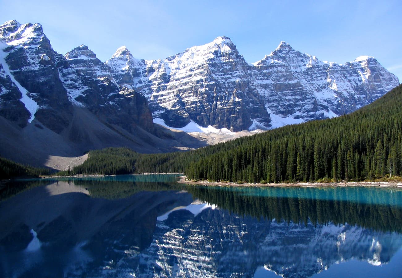
The iconic turquoise glacial waters of Moraine Lake beneath the Ten Peaks in Banff National Park
Few mountain landscapes on Earth command the raw, glaciated majesty of the Canadian Rockies—where soaring limestone spires, sapphire glacial lakes, and sweeping river valleys collide across Alberta and British Columbia. Spanning four contiguous national parks—Banff, Jasper, Yoho, and Kootenay—along with provincial wilderness sanctuaries like Kananaskis Country and Mount Robson, the region offers hundreds of miles of world-renowned alpine highway driving.
Drawing from seasoned advice, road condition reports, and seasonal permit strategies shared on r/Banff, r/Jasper, r/roadtrip, and r/WildernessBackpacking, here are the 10 best Canadian Rockies road trip routes and stops travelers recommend for 2026.
The world-famous turquoise waters of Moraine Lake framed by the glaciated summits of the Valley of the Ten Peaks.
1. The Icefields Parkway Expedition (Highway 93N from Lake Louise to Jasper)
Widely recognized as one of the most magnificent alpine highways on the planet, Highway 93 North stretches 232 kilometers (144 miles) between Lake Louise and the mountain town of Jasper. Crossing two high-altitude mountain passes (Bow Pass at 2,068 meters and Sunwapta Pass at 2,035 meters), the highway skirts more than 100 visible glaciers, cascading waterfalls, and jagged peaks.
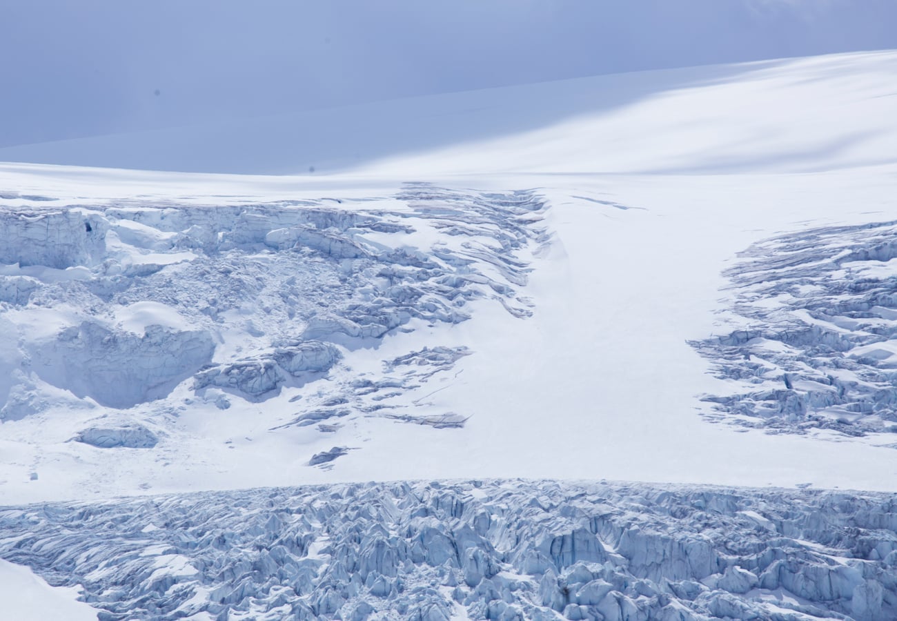 Athabasca Glacier cascading from the massive Columbia Icefield along Highway 93N.
Reddit road-trippers emphasize that rushing the Icefields Parkway in three hours is the single biggest rookie mistake. Plan for a full 8-to-10-hour day to hike the Peyto Lake upper overlook, walk up to the toe of the Athabasca Glacier, view the thunderous Sunwapta and Athabasca Falls, and photograph water reflections at Herbert Lake. Note that cell service is virtually nonexistent between Lake Louise and Jasper, so download offline maps before setting out.
2. The Bow Valley Parkway Wildlife Corridor (Highway 1A)
Running parallel to the four-lane Trans-Canada Highway between Banff and Lake Louise, the two-lane Bow Valley Parkway (Highway 1A) offers a peaceful, lower-speed alternative winding through dense subalpine spruce forests along the Bow River.
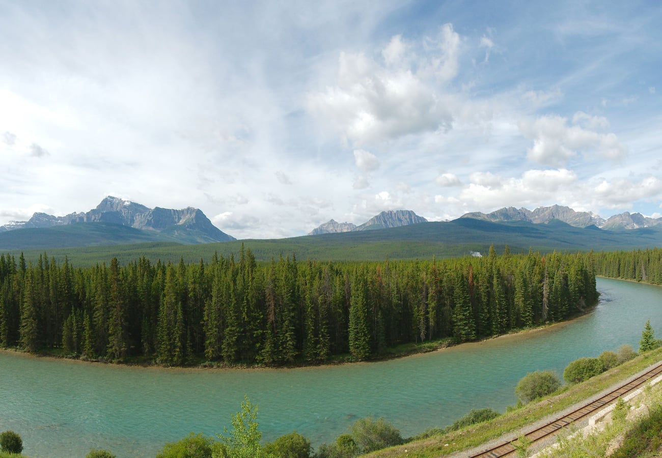 The quiet, pine-fringed Bow Valley Parkway curving toward the jagged battlements of Castle Mountain.
On r/Banff, frequent travelers advise driving this route at dawn or dusk for prime wildlife spotting, including grizzly bears, black bears, elk, bighorn sheep, and wolves. The standout geological highlight is Johnston Canyon, where catwalks suspended along canyon walls lead to the Lower and Upper Falls and the vivid mineral springs of the Ink Pots. Note that Parks Canada enforces seasonal cycling-only closures on the eastern 17-kilometer section (Banff to Johnston Canyon) during late spring and early autumn.
3. Yoho National Park & Kicking Horse Cathedral Pass
Crossing the Continental Divide west of Lake Louise on Highway 1 plunges travelers into British Columbia's Yoho National Park. Compact yet dramatic, Yoho is renowned for vertical rock faces, thunderous waterfalls, and brilliant emerald-tinted glacial basins.
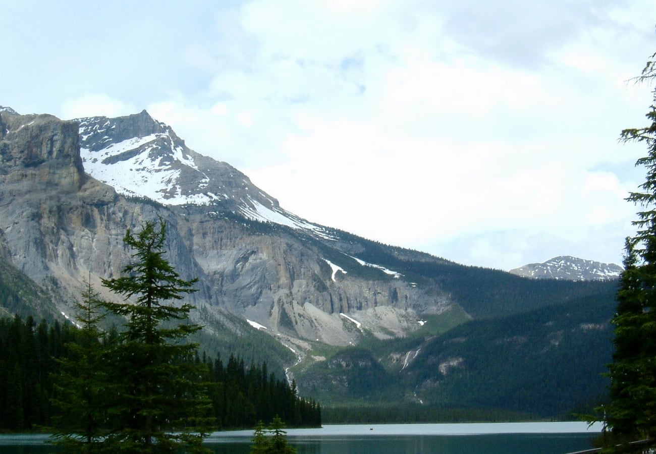 Glacier-fed turquoise waters reflecting sheer mountain walls at Emerald Lake in Yoho National Park.
Reddit contributors highlight two non-negotiable side roads off Highway 1: the 13-kilometer spur up the Yoho Valley Road to Takakkaw Falls (one of Canada’s tallest falls, plunging 373 meters) and the road to Emerald Lake. The natural limestone bridge over the Kicking Horse River provides a dramatic display of hydraulic carving. For dining, Reddit travelers frequently recommend the historic Truffle Pigs Bistro in the quiet alpine village of Field.
4. Kananaskis Country & Highwood Pass Mountain Highway (Highway 40)
Flanking the eastern slopes of the Rockies south of Canmore, Kananaskis Country (K-Country) offers rugged alpine majesty without the heavy tourist buses found in Banff. Highway 40 (Kananaskis Trail) reaches its apex at Highwood Pass (2,206 meters / 7,238 feet), the highest paved through-road in all of Canada.
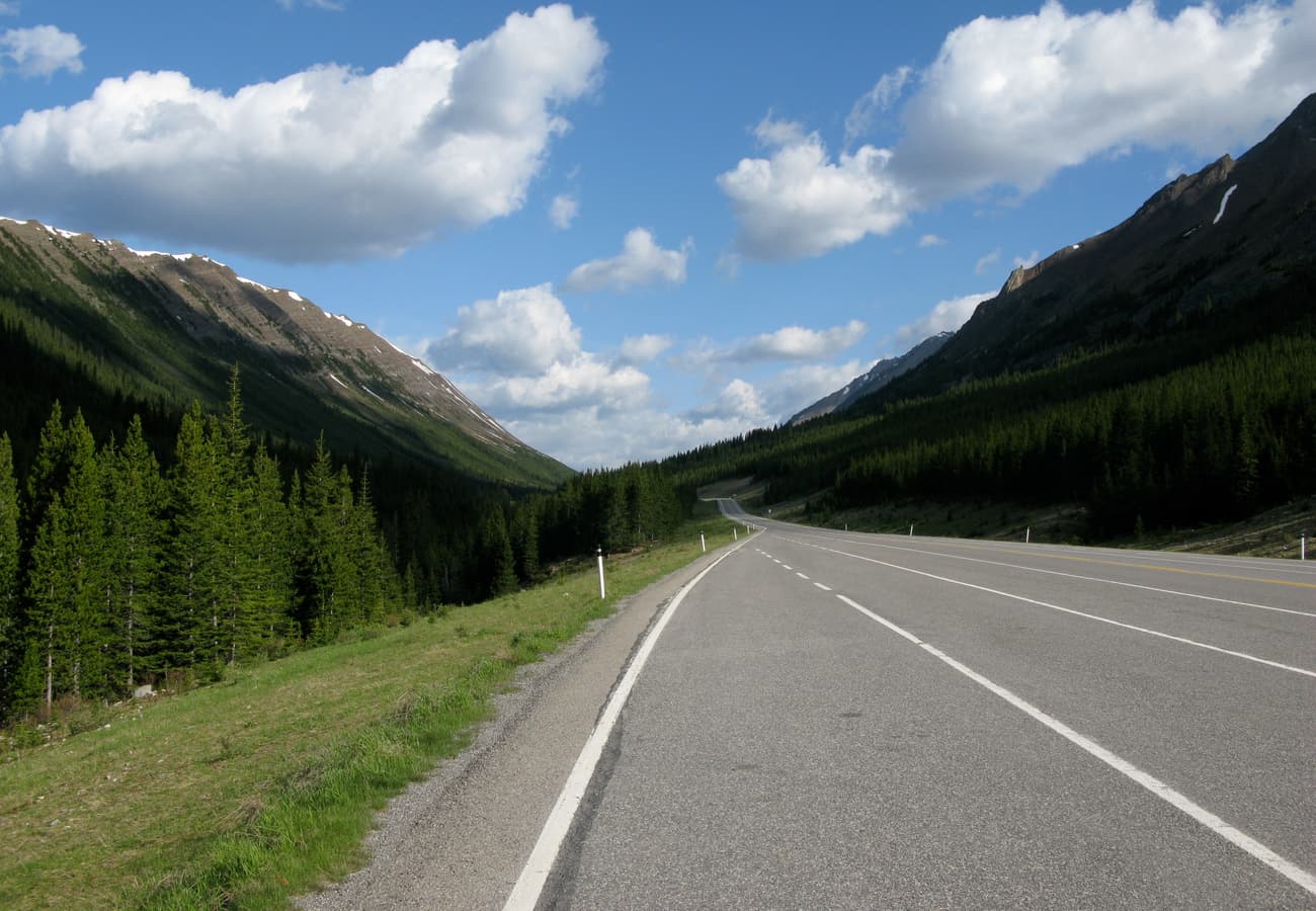 Highwood Pass in Kananaskis Country, the highest paved mountain pass highway in Canada at 2,206 meters.
Reddit locals celebrate Highway 40 as the premier larch-viewing road trip in North America during late September, when subalpine needle trees turn brilliant gold across high ridges like Ptarmigan Cirque. Note that Highwood Pass is subject to a strict winter wildlife closure from December 1 through June 14 each year. Vehicles entering provincial parks in Kananaskis require a Kananaskis Conservation Pass, purchasable online.
5. Jasper to Maligne Lake & Spirit Island Circuit
Branching east from the town of Jasper along Highway 16 and Maligne Lake Road, this 48-kilometer (30-mile) alpine corridor climbs through a glacially sculpted valley past the limestone chasm of Maligne Canyon and the vanishing waters of Medicine Lake.
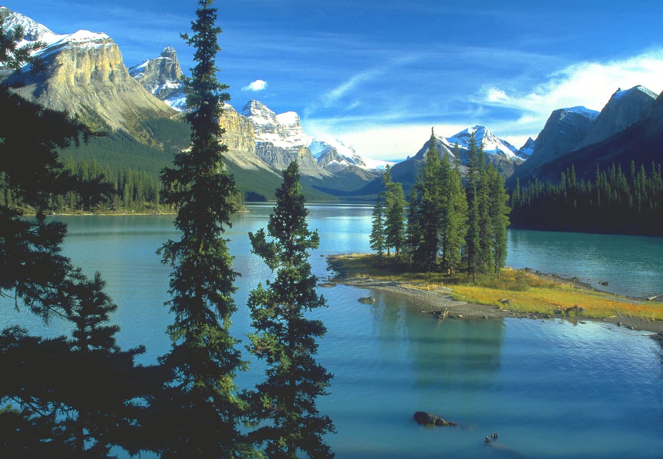 Iconic Spirit Island surrounded by glacial waters and ringed by the peaks of Maligne Lake in Jasper.
Travelers on r/Jasper recommend booking the morning boat cruise or undertaking an all-day canoe expedition down Maligne Lake to Spirit Island, one of the most photographed vistas in the Rocky Mountains. Medicine Lake is a geological wonder: in late autumn and winter, it completely drains through a subterranean sinkhole system, leaving an eerie, boulder-strewn mudflat.
6. Kootenay National Park & Marble Canyon Scenic Byway (Highway 93S)
Beginning at Castle Junction between Banff and Lake Louise, Highway 93 South traverses the Continental Divide at Vermilion Pass (1,651 meters) into British Columbia, descending through the rugged river corridors of Kootenay National Park toward the Columbia Valley.
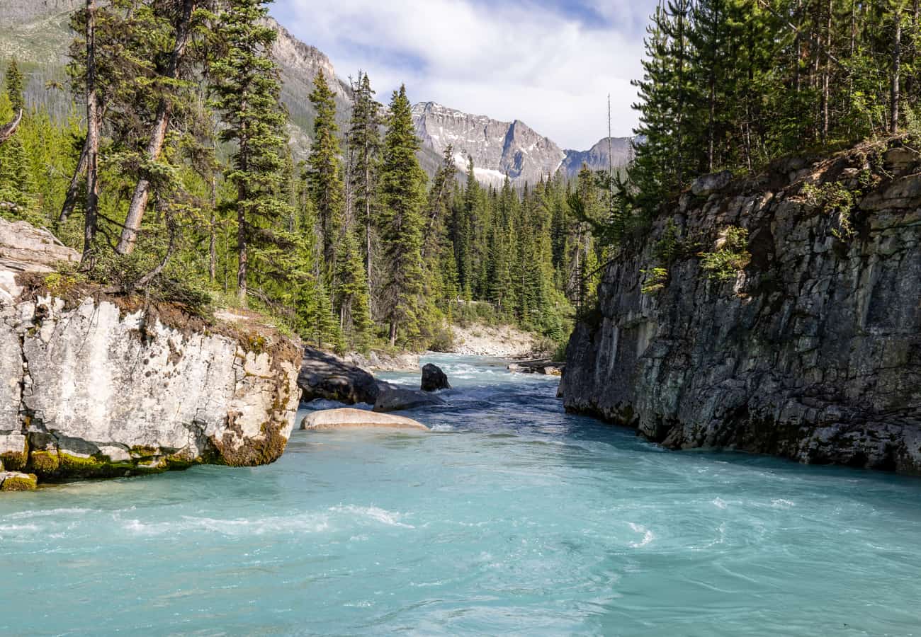 Sheer limestone walls carved by glacial runoff at Marble Canyon along Kootenay National Park's Highway 93S.
Reddit travelers celebrate Kootenay for its dramatic contrasts: stark stands of wildfire-regenerating forest, iron-rich ochre paint pots, and the deep, narrow gorge of Marble Canyon, where footbridges span rushing turquoise rapids 40 meters below. The route concludes at the natural thermal mineral pools of Radium Hot Springs, nestled against towering Sinclair Canyon rock walls.
7. Waterton-Glacier International Peace Park (Akamina Parkway)
Located in southwestern Alberta where the prairie plains meet vertical mountain walls with no transitional foothills, Waterton Lakes National Park forms the Canadian half of the world's first International Peace Park, jointly managed with Montana’s Glacier National Park.
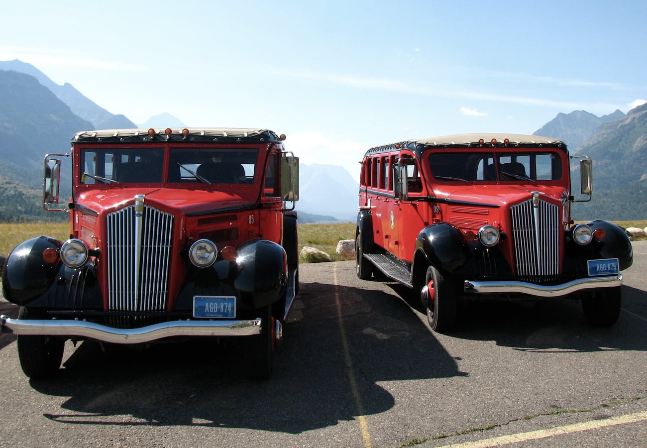 The historic Prince of Wales Hotel perched above the dramatic wind-swept fjords of Waterton Lakes.
Reddit travelers praise Waterton for its intimate village vibe and ferocious alpine winds. Drive the Akamina Parkway up to Cameron Lake for paddle-boating and grizzly viewing, or cruise the Red Rock Parkway through rolling meadows to red argillite canyon trails. An afternoon tea stop in the grand lobby of the 1927 Prince of Wales Hotel offers breathtaking vistas straight down Upper Waterton Lake.
8. The Golden Triangle Circuit (Banff, Yoho, Kootenay, & Golden)
The Golden Triangle is a spectacular 300-kilometer (186-mile) multi-park loop linking Lake Louise, Field, Golden, Radium Hot Springs, and Castle Junction via Highways 1, 95, and 93S.
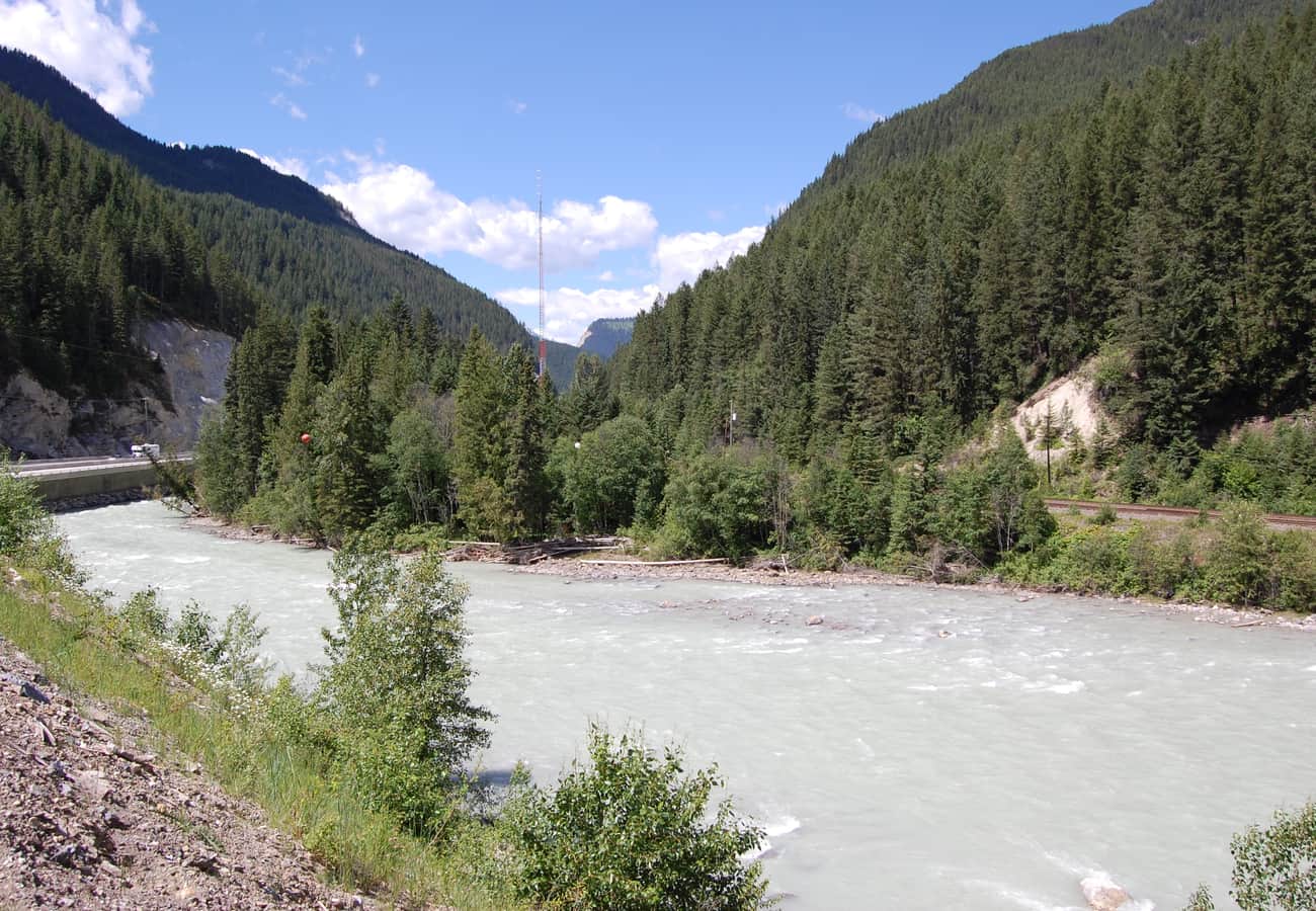 Glacial melt churning through the steep canyon rapids of the Kicking Horse River near Golden, BC.
Reddit road-trippers rate this loop as the best 2-to-3-day self-contained mountain driving itinerary in Western Canada. You experience the massive canyon walls of Kicking Horse Pass, cross the newly completed Kicking Horse Canyon freeway bridges, explore the Columbia River wetlands, soak in Radium Hot Springs, and return through the high mountain passes of Kootenay back to Banff.
9. The David Thompson Highway & Abraham Lake (Highway 11)
Splitting off the Icefields Parkway at Saskatchewan River Crossing and tracking eastward toward Nordegg and Rocky Mountain House, the David Thompson Highway (Highway 11) cuts through Alberta's dramatic front ranges along the North Saskatchewan River.
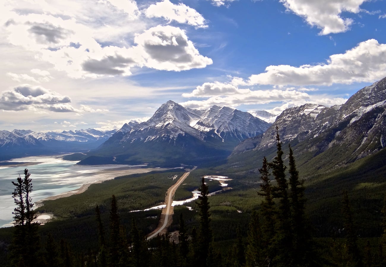 The sweeping mountain valley corridor of the David Thompson Highway flanking Abraham Lake.
Reddit winter road-trippers consider Abraham Lake a legendary bucket-list stop. Between December and February, decomposing vegetation on the lake bottom releases methane gas that freezes into layered stacks of crystalline white bubbles trapped under clear blue ice. In summer, the corridor offers crowd-free hiking trails into Siffleur Falls and Cline River Canyon without national park admission fees.
10. Mount Robson & Yellowhead Pass Alpine Corridor (Highway 16)
Heading west from Jasper along the Yellowhead Highway (Highway 16), motorists cross Yellowhead Pass (1,131 meters) into British Columbia, following the Fraser River to Mount Robson Provincial Park.
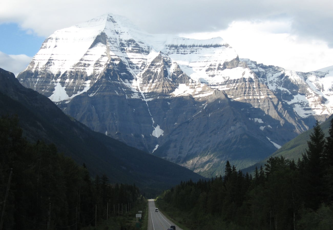 The towering pyramid peak of Mount Robson, the highest summit in the Canadian Rockies at 3,954 meters.
Towering 3,954 meters (12,972 feet) above sea level, Mount Robson is the undisputed giant of the Canadian Rockies, rising nearly 3,000 meters straight from the valley floor. Reddit photographers advise stopping at the Mount Robson Visitor Centre viewpoint in the morning before thermal updrafts generate afternoon cloud cover around the summit.
Canadian Rockies Road Trip Comparison: Routes at a Glance
| Route / Scenic Highway | Distance | Ideal Duration | Highest Point / Pass | Top Reddit Recommendation |
|---|---|---|---|---|
| Icefields Parkway (Hwy 93N) | 144 mi / 232 km | 1–2 Days | Bow Pass (6,785 ft / 2,068 m) | Hike to Peyto Lake Overlook; start by 7:00 AM |
| Bow Valley Parkway (Hwy 1A) | 31 mi / 50 km | Half Day | 4,920 ft / 1,500 m | Dawn wildlife drive; explore Johnston Canyon Ink Pots |
| Yoho National Park Corridor | 45 mi / 72 km | 1 Day | Kicking Horse Pass (5,340 ft) | Walk Emerald Lake loop & visit Takakkaw Falls |
| Highwood Pass (Hwy 40) | 93 mi / 150 km | 1 Day | Highwood Pass (7,238 ft / 2,206 m) | Hike Ptarmigan Cirque for golden larches in late Sept |
| Maligne Valley Road | 30 mi / 48 km | 1 Day | 5,500 ft / 1,675 m | Take the morning boat cruise to Spirit Island |
| Kootenay Scenic Byway (Hwy 93S) | 65 mi / 105 km | 1 Day | Vermilion Pass (5,417 ft / 1,651 m) | Cross Marble Canyon suspension bridges & soak in Radium |
| Akamina & Red Rock (Waterton) | 20 mi / 32 km | 1–2 Days | 5,450 ft / 1,660 m | Watch sunset from Prince of Wales; hike Red Rock Canyon |
| The Golden Triangle Loop | 186 mi / 300 km | 2–3 Days | Kicking Horse Pass (5,340 ft) | Combine 3 national parks with hot springs & river rapids |
| David Thompson Hwy (Hwy 11) | 112 mi / 180 km | 1–2 Days | Saskatchewan River Crossing | Visit Abraham Lake for winter ice bubbles & canyon hikes |
| Yellowhead Pass to Mt. Robson | 60 mi / 96 km | Half to Full Day | Yellowhead Pass (3,711 ft) | Photograph Mount Robson South Face from visitor overlook |
Essential Tips for Driving the Canadian Rockies in 2026
- Parks Canada Pass Requirements: A valid Discovery Pass or Day Pass is required for all vehicles stopping anywhere within Banff, Jasper, Yoho, or Kootenay National Parks. Display the pass prominently on your vehicle rearview mirror or dashboard.
- Moraine Lake & Lake Louise Parking: Personal vehicle access to Moraine Lake Road is strictly prohibited. You must reserve seats on the Parks Canada Lake Louise / Moraine Lake Shuttle, take a Roam Transit bus, or book a commercial tour operator. Reservations open online via Parks Canada in spring.
- Winter Tire Laws: By British Columbia and Alberta law, winter tires (marked with the 3-peaked mountain snowflake symbol or M+S with minimum 3.5mm tread) are mandatory on Highway 93N (Icefields Parkway), Highway 93S, Highway 1, and Highway 40 from October 1 through April 30.
- Fuel Planning: There is only one seasonal gas station on the entire 232-kilometer stretch of the Icefields Parkway (at Saskatchewan River Crossing), and fuel prices there carry a substantial wilderness premium. Always top up your tank in Lake Louise, Banff, or Jasper before entering the parkway.
- Wildlife Ethics: Maintain a minimum distance of 100 meters from bears, wolves, and cougars, and 30 meters from elk, moose, and bighorn sheep. Never exit your vehicle to approach wildlife, and keep bear spray readily accessible on your belt during all trail walks.
Frequently Asked Questions
How many days are needed for a Canadian Rockies road trip?
Reddit travelers consistently recommend a minimum of 7 to 10 days to comfortably explore Banff, Lake Louise, Yoho, and Jasper without spending your entire vacation behind the wheel. A 5-day trip allows a fast-paced highlights tour of Banff and Lake Louise.
When is the best time of year to drive the Canadian Rockies?
Late June through mid-September provides the warmest hiking weather, open alpine passes, and fully thawed turquoise lakes. For vibrant golden larch foliage and fewer crowds, late September is peak season. For winter driving, frozen ice bubbles, and ski touring, December through March is optimal.
Can you drive the Icefields Parkway in one day?
Yes. The drive takes approximately 3 to 3.5 hours of continuous driving, but Reddit travelers unanimously advise allocating 8 to 10 hours to stop at viewpoints including Bow Lake, Peyto Lake, Columbia Icefield, and Athabasca Falls.
Related Travel Guides
- 10 Best Vancouver to Banff Road Trip Routes Reddit Travelers Recommend in 2026
- 10 Best Banff to Jasper Road Trip Stops Reddit Travelers Recommend in 2026
- 10 Best Icefields Parkway Stops Reddit Travelers Recommend in 2026
- 10 Best Calgary to Vancouver Scenic Road Trips Reddit Travelers Recommend in 2026
Disclaimer
This article is for informational and educational purposes only. It does not constitute legal, financial, or professional advice. While we strive to provide accurate and up-to-date information, travel policies, regulations, and conditions change rapidly. Always verify information with official sources before making travel decisions. Nomad Lawyer makes no representations about the accuracy, reliability, completeness, or suitability of the information provided. Readers should consult qualified professionals for advice specific to their circumstances. The views expressed in this article are those of the author and do not necessarily reflect the views of Nomad Lawyer.
Raushan Kumar
Founder & Lead Developer
Full-stack developer with 11+ years of experience and a passionate traveller. Raushan built Nomad Lawyer from the ground up with a vision to create the best travel and law experience on the web.
Learn more about our team →