
10 Best Icefields Parkway Stops Reddit Travelers Recommend in 2026
From Bow Summit and Peyto Lake to the Columbia Icefield, Glacier Skywalk, and Athabasca Falls, explore the 10 must-see Icefields Parkway stops Reddit travelers recommend in 2026.

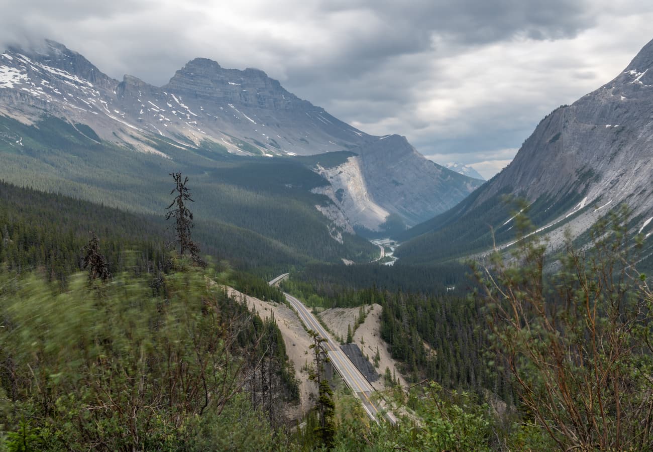
Alberta Highway 93 North (the Icefields Parkway) winding through the glaciated peaks of the Canadian Rockies
Carving 144 miles (232 km) through the heart of the Canadian Rocky Mountain Parks World Heritage Site, Alberta Highway 93 North—universally known as the Icefields Parkway—is celebrated as one of the world's greatest scenic highways. Flanked by towering mountain ranges that soar above 11,000 feet, this alpine roadway parallels the Continental Divide between Lake Louise and the town of Jasper, delivering an unbroken panorama of hanging glaciers, tumbling alpine waterfalls, and gemstone-colored lakes.
Yet experiencing the Parkway requires careful pacing and preparation. Because there are no commercial towns, fast-food franchises, or cell towers along the entire 144-mile corridor, travelers must manage their fuel, food, and daytime hours carefully. Turnouts that look modest from the asphalt frequently lead to world-class geological wonders, while other viewpoints reward those who know exactly which side-trails to take. On forums like r/Banff, r/Jasper, and r/roadtrip, community veterans have refined the definitive list of unmissable stops. Here are the 10 best Icefields Parkway stops Reddit travelers recommend in 2026.
1. Bow Summit & Peyto Lake Lookout
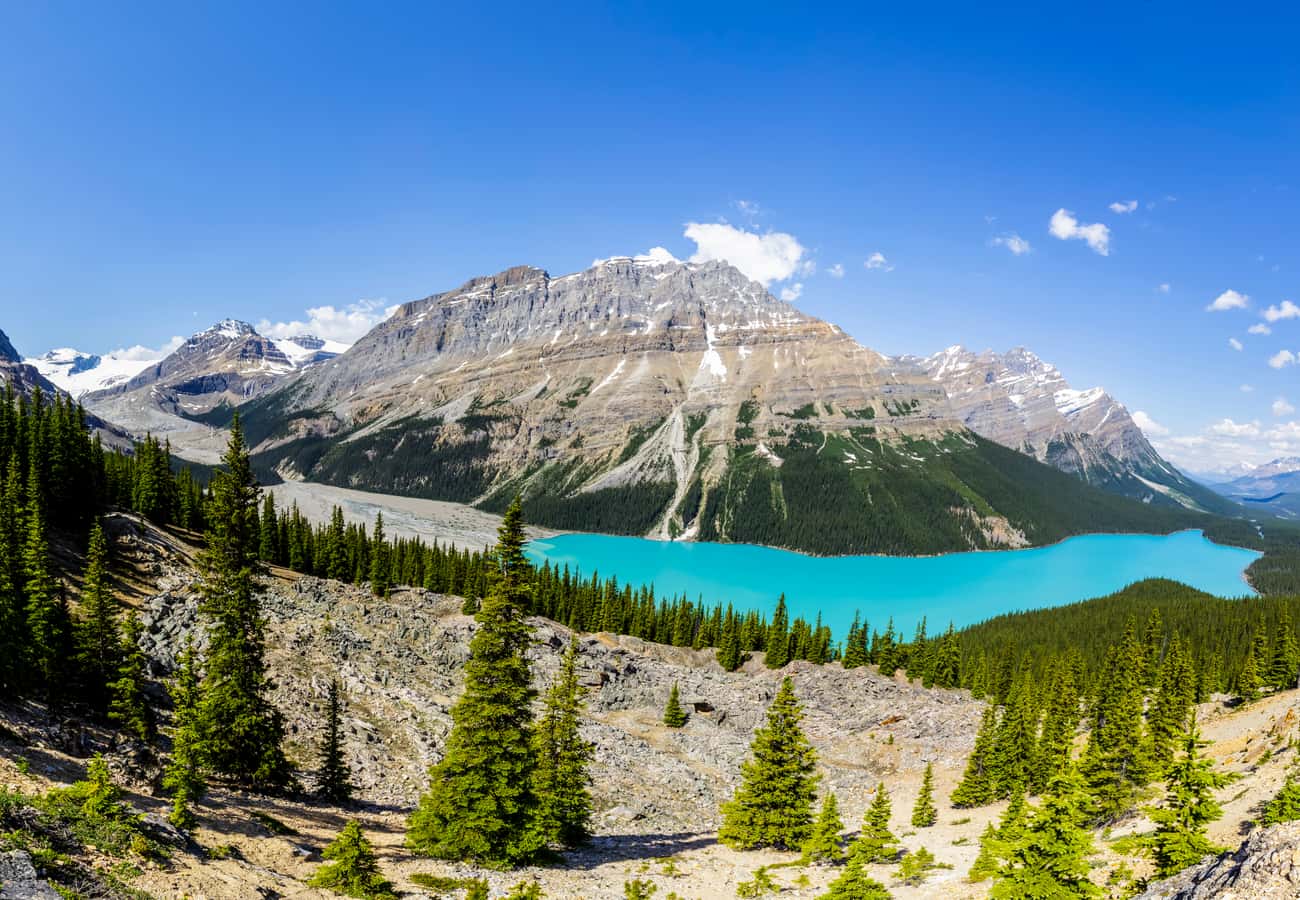 Panoramic view of the intense turquoise glacial waters of Peyto Lake seen from Bow Summit.
Perched at 6,847 feet (2,087 m) above sea level, Bow Summit is the highest point along the Icefields Parkway and home to what is arguably the most photographed view in the Canadian Rockies.
A paved, uphill 0.6-mile walk from the main parking lot leads through subalpine fir and Engelmann spruce to the renovated viewing deck overlooking Peyto Lake. Filled by glacial silt ground down by the Peyto Glacier, the lake displays an astonishingly vivid turquoise color and is shaped remarkably like the silhouette of a howling wolf or coyote.
Reddit contributors recommend continuing along the unpaved trail past the viewing platform to the upper rocky overlook for a peaceful, panoramic vantage point away from large tour groups.
2. Bow Lake & Crowfoot Mountain Viewpoint
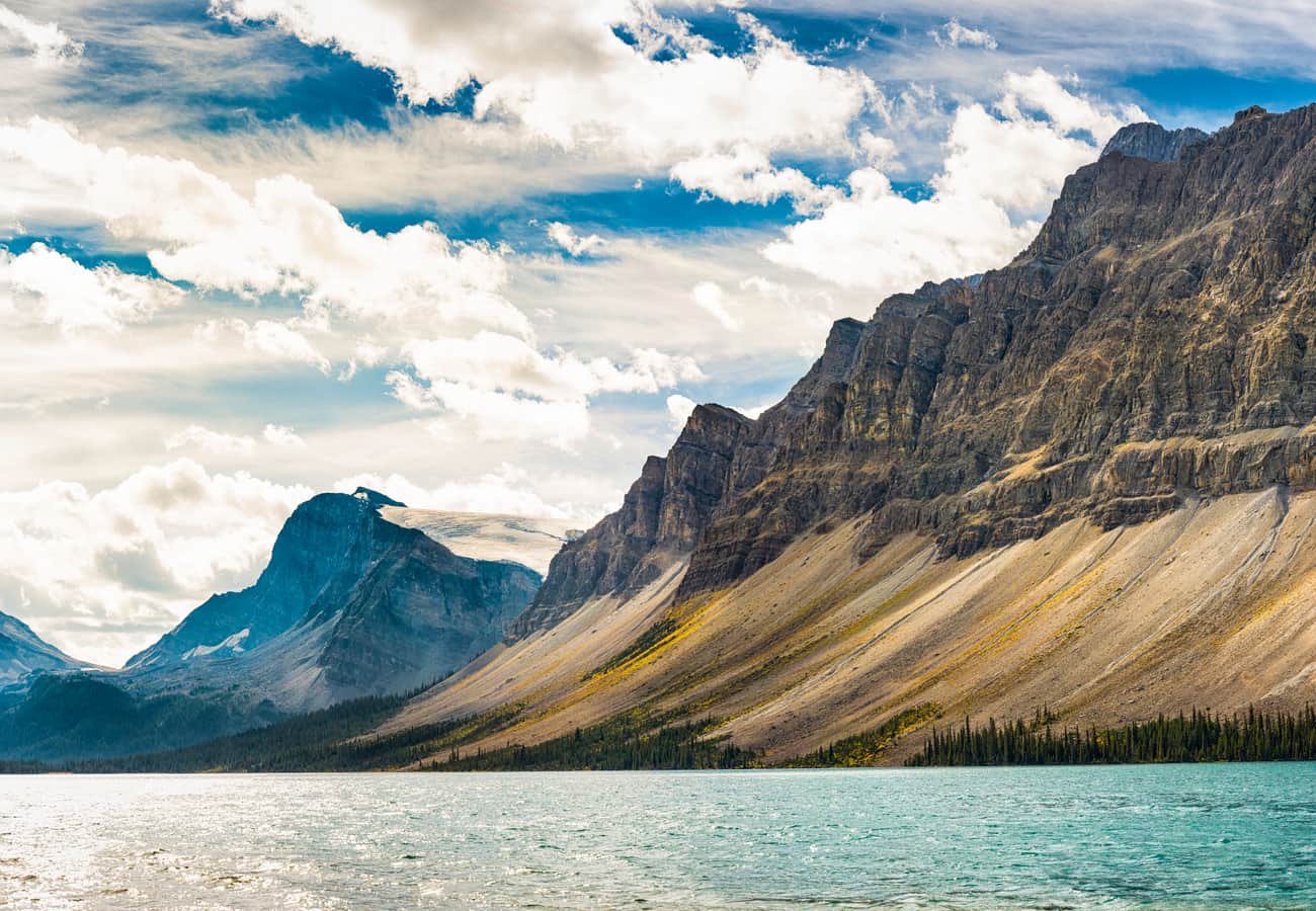 Serene morning reflections of Crowfoot Mountain across the crystal-clear waters of Bow Lake.
Spanning beneath the vertical cliffs of Crowfoot Mountain and the Waputik Icefield, Bow Lake is one of the largest and most serene bodies of water along Highway 93 North.
The lake serves as the headwaters of the Bow River, which flows all the way to Calgary. Stroll along the expansive gravel lakeshore to admire the reflection of Mount Thompson, photograph the historic red-roofed Num-Ti-Jah Lodge built by pioneer Jimmy Simpson, or hike the 5.6-mile roundtrip trail along the western shoreline to Bow Glacier Falls.
Reddit photographers note that early morning (before 8:30 AM) offers the calmest water conditions, turning the lake surface into a flawless natural mirror.
3. Crowfoot Glacier Roadside Pullout
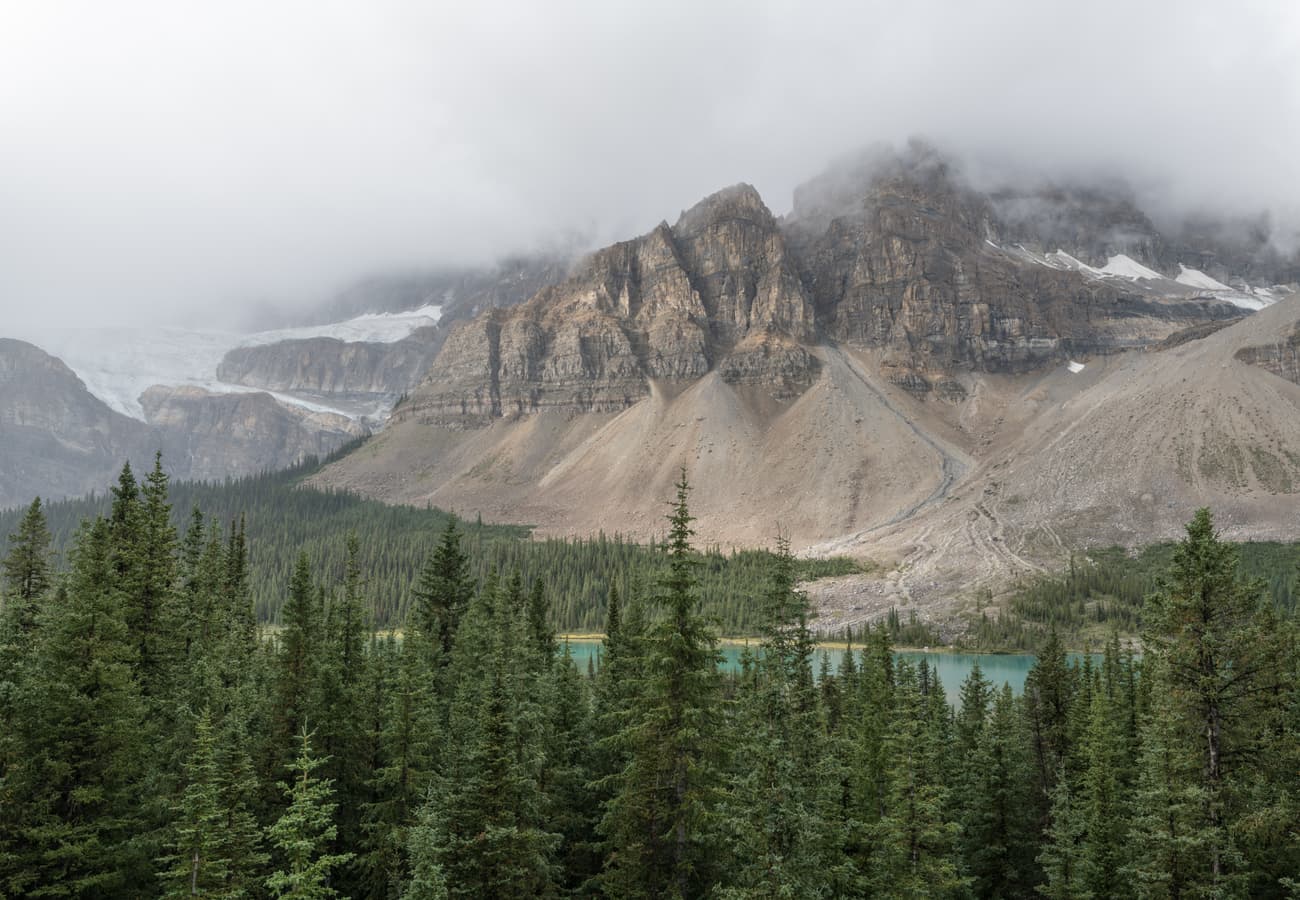 Looking south toward Crowfoot Glacier clinging to sheer rock ledges high above the Icefields Parkway.
Located just one mile south of Bow Lake, this dedicated roadside pullout offers an up-close perspective of hanging glacial geology.
Named in the late 19th century because its three distinct ice lobes resembled the three claws of a crow's foot, Crowfoot Glacier clings dramatically to the northeastern rock ledges of Crowfoot Mountain. Although climate change caused the lowest "claw" to melt away during the 20th century, the upper two massive ice shelves remain clearly visible from the highway.
Redditors recommend stopping here for a quick 10-minute photo stop and reading the Parks Canada interpretive panels explaining the retreat of Rocky Mountain glaciers.
4. Waterfowl Lakes & Mount Chephren
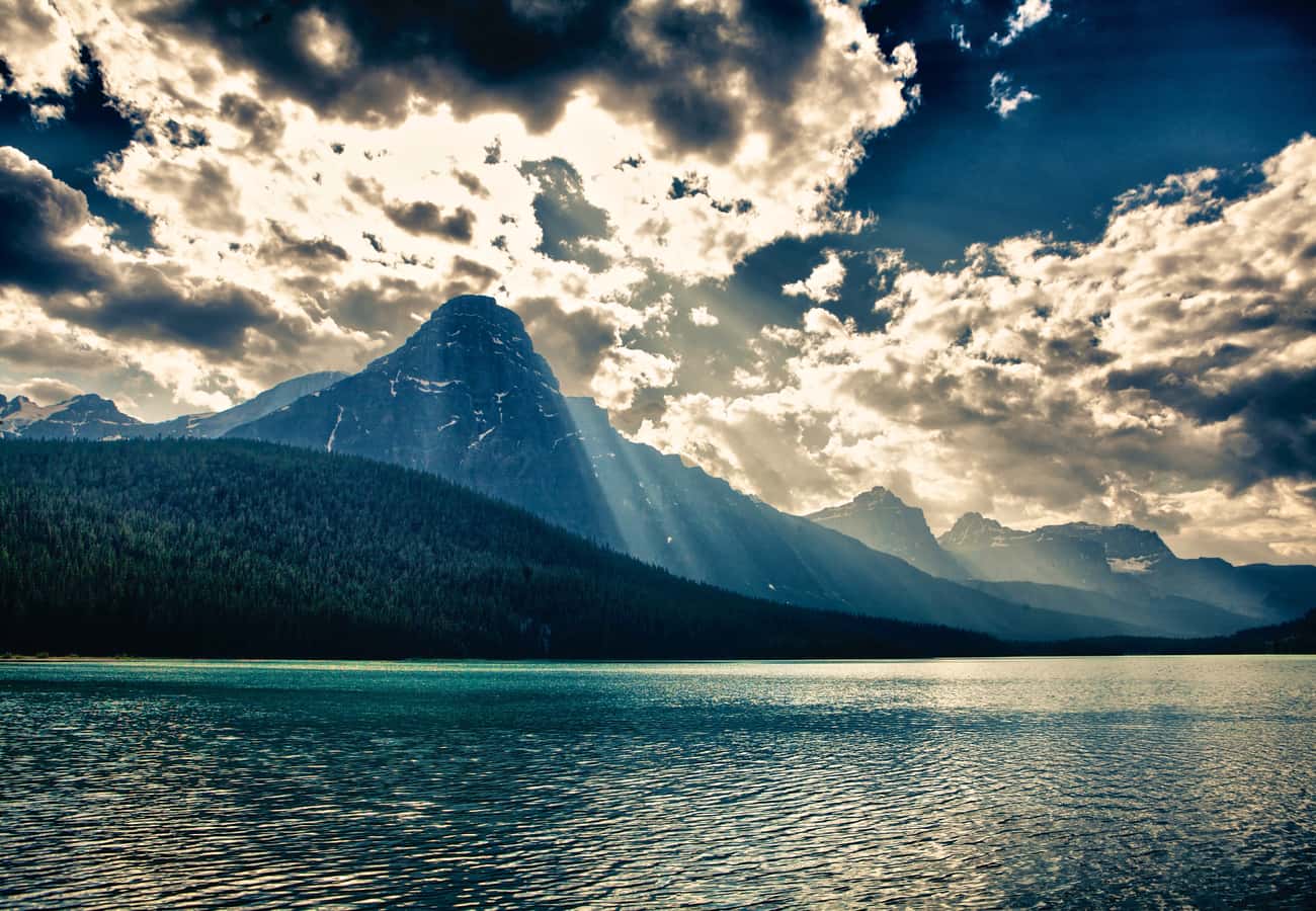 Dramatic sun rays illuminating the towering pyramid peak of Mount Chephren above Waterfowl Lake.
Tucked into the Mistaya River valley at Mile 36 north of Lake Louise, the Waterfowl Lakes (Upper and Lower) are often overlooked by travelers speeding between major attractions, making them a hidden-gem haven.
The dramatic backdrop is Mount Chephren, an imposing pyramid-shaped peak rising 10,700 feet into the sky like an Egyptian monument. A gentle trail connects the two lakes through quiet boreal forest, and a rustic campground offers scenic picnic benches beside the glacier-fed shoreline.
Travelers on r/Banff praise Waterfowl Lakes as one of the best locations along the Parkway to spot grazing moose feeding on aquatic plants in the shallow marshy channels.
5. Mistaya Canyon & The Gorge Footbridge
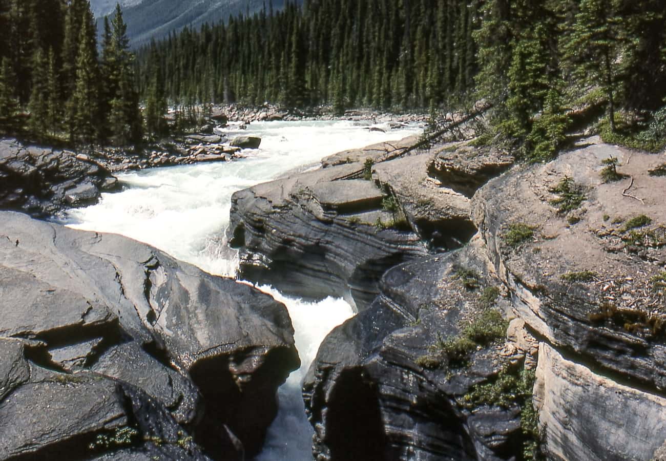 The curvaceous, water-sculpted limestone chasm and footbridge at Mistaya Canyon.
At Mile 45, Mistaya Canyon showcases the raw, sculptural force of rushing mountain water.
A short 0.3-mile downhill trail from the highway parking area leads to a sturdy bridge spanning a narrow, twisting limestone chasm. The Mistaya River thunders through deep potholes and curvaceous flutes carved into ancient carbonate bedrock over thousands of years. Looking downstream through the canyon reveals a dramatic frame of Mount Sarbach.
Reddit hikers advise wearing footwear with reliable traction, as water spray from the canyon can make the smooth limestone rock ledges slick.
6. The Big Bend & Weeping Wall
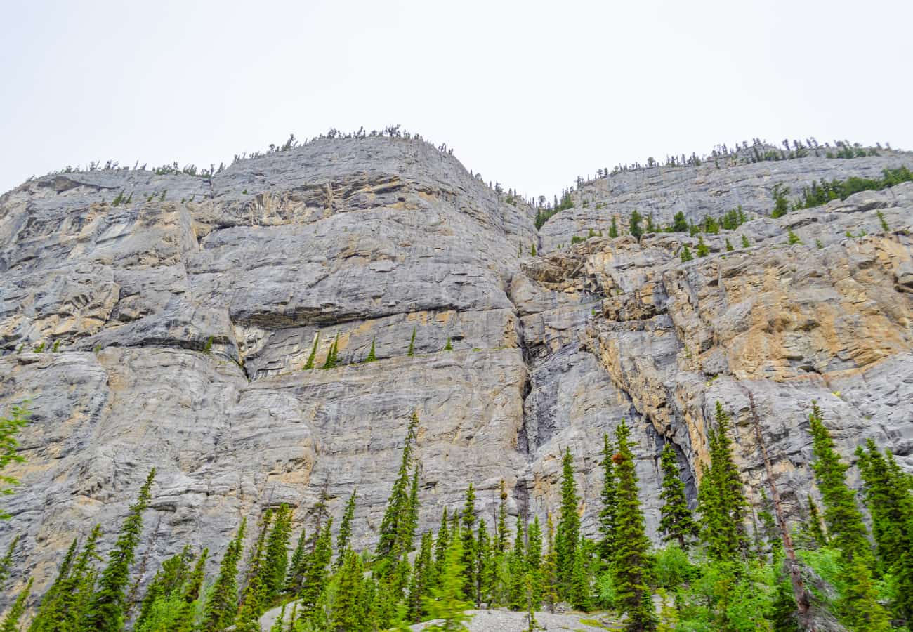 The sheer 1,000-foot limestone amphitheater of Cirrus Mountain and the weeping springs of the Weeping Wall.
Approaching the Banff-Jasper park boundary, Highway 93 navigates a thrilling engineering feature known as The Big Bend, a dramatic 180-degree hairpin switchback climbing high above the North Saskatchewan River valley.
Directly below the bend sits the Weeping Wall, a massive 1,000-foot-high vertical limestone cliff face along the lower slopes of Cirrus Mountain. Fed by melting snow from the snowfields above, dozens of thin waterfalls cascade down the rock face like tears. In winter, this cliff transforms into one of the world's premier ice-climbing amphitheaters.
Redditors recommend pulling into the overlook turnout at the top of the Big Bend for sweeping vistas of the braided river valley far below.
7. Glacier Skywalk & Columbia Icefield Discovery Centre
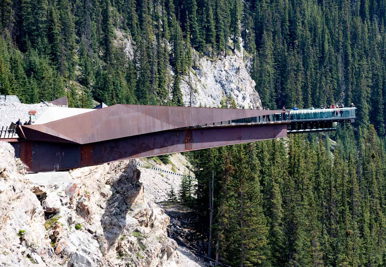 The glass-bottomed observation platform of the Glacier Skywalk suspended 918 feet above the Sunwapta River canyon.
Marking the halfway milestone between Lake Louise and Jasper, the Columbia Icefield is the crown jewel of Highway 93 North.
From the Columbia Icefield Discovery Centre, visitors can view the Athabasca Glacier and explore the free "Toe of the Athabasca Glacier" trail. Nearby, the Glacier Skywalk features a glass-floored curved observation platform cantilevered 918 feet (280 m) over the Sunwapta Valley, offering a dizzying bird’s-eye perspective of glaciated canyon geology and wandering mountain goats.
Reddit travelers advise booking Ice Explorer or Skywalk tickets well in advance if planning to participate in paid tours, or enjoying the free educational exhibits and glacier views from the visitor terrace.
8. Tangle Creek Falls Roadside Cascade
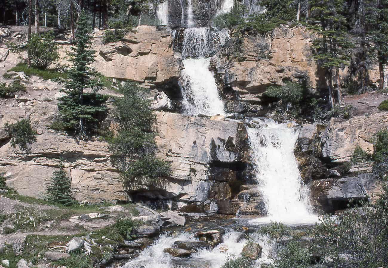 The multi-tiered roadside cascades of Tangle Creek Falls tumbling directly beside the highway shoulder.
Located just four miles north of the Columbia Icefield Centre, Tangle Creek Falls is one of the most accessible and photogenic multi-tiered waterfalls on the Parkway.
Tumbling roughly 115 feet over a sequence of stepped limestone ledges, the waterfall sits directly beside the highway shoulder. A dedicated parking turnout on the opposite side of the road allows motorists to safely pull over, walk across, and stand right at the base of the spraying cascades.
Community members on r/Jasper remind drivers to exercise caution when crossing Highway 93 on foot, as highway traffic moves quickly along this straightaway.
9. Sunwapta Falls & The Chaba River Canyon
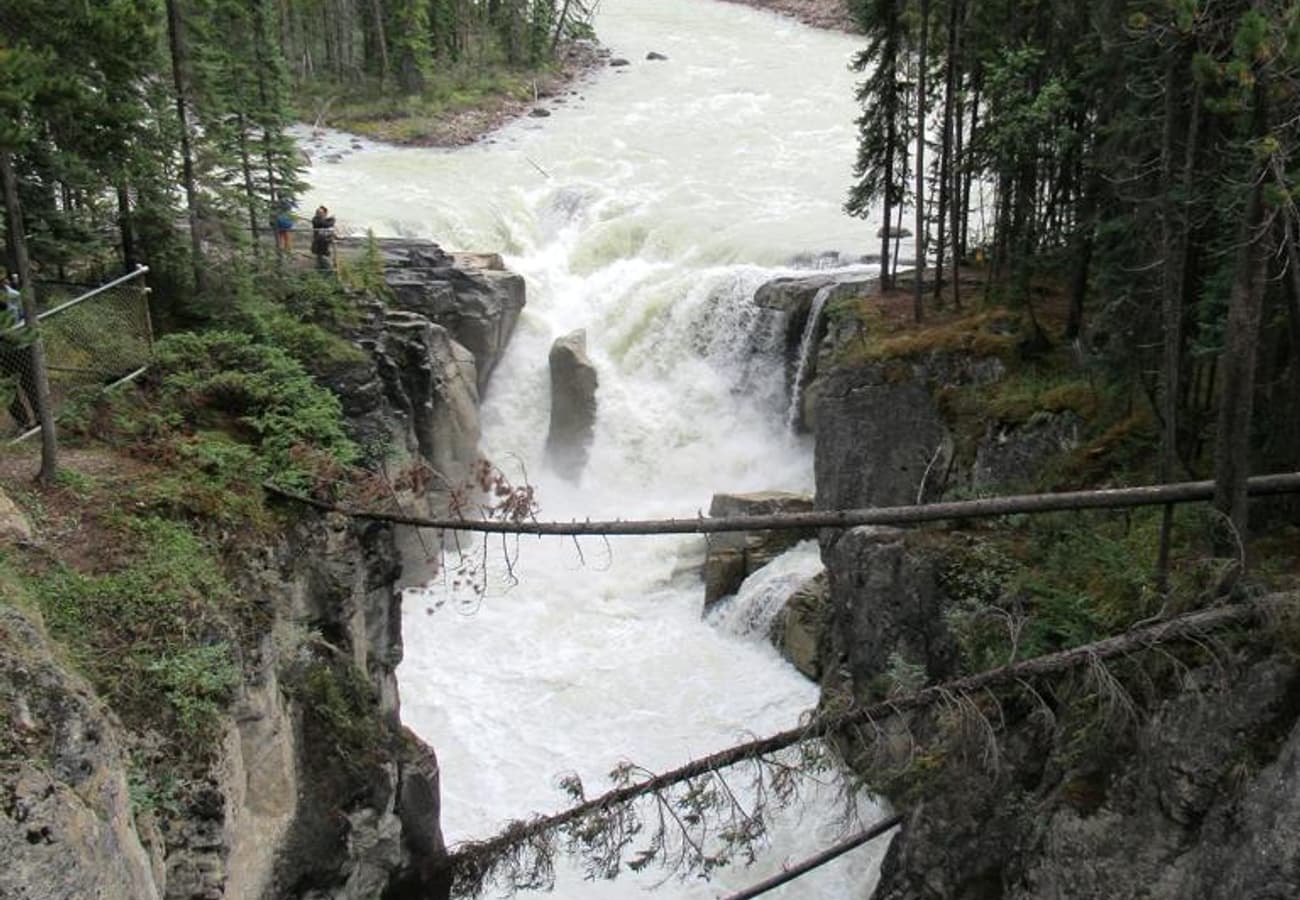 Rushing class-6 glacial rapids carving through deep limestone rock walls at Sunwapta Falls.
Fed by the Athabasca Glacier, the Sunwapta River flows with violent force at Upper Sunwapta Falls, where the torrent splits around a small tree-covered island before dropping 60 feet into a narrow canyon.
A footbridge directly across the chasm offers exhilarating views of the churning white rapids. While most tour bus crowds turn back at the bridge, Reddit hikers recommend taking the 1.8-mile forested trail down to Lower Sunwapta Falls, where three separate cascades plunge through an uncrowded wilderness gorge.
Redditors highlight late spring and early summer as the peak flow period, when snowmelt turns the falls into a roaring wall of water.
10. Athabasca Falls & The Lower Canyon Walk
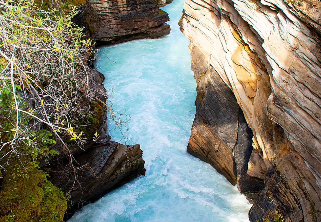 The narrow, thunderous rock gorge and churning whirlpools at Athabasca Falls in Jasper.
Located 20 miles south of Jasper, Athabasca Falls is celebrated for its incredible hydraulic power as the entire volume of the Athabasca River forces its way through a narrow rock canyon.
A comprehensive network of paved interpretive walkways, footbridges, and rock-hewn stairs guides visitors through ancient, dry canyon crevices and potholes carved when the river flowed along a different path. Across the river, the stratified pyramid of Mount Kerkeslin creates an unforgettable photographic backdrop.
Reddit travelers suggest visiting in the late afternoon when the setting sun hits the mist, frequently generating vivid double rainbows above the churning gorge.
Icefields Parkway Stops: Milepost & Highlight Matrix
| Stop Name & Milestone | Distance from Lake Louise | Distance to Jasper | Defining Geological Wonder | Reddit Traveler Pro-Tip |
|---|---|---|---|---|
| 1. Bow Summit & Peyto Lake | Mile 25 (40 km) | Mile 119 (192 km) | 6,847-ft summit, wolf-shaped lake | Hike beyond main deck to rock slabs for clear photos. |
| 2. Bow Lake & Num-Ti-Jah | Mile 23 (37 km) | Mile 121 (195 km) | Glacial reflection, Crowfoot Mountain | Arrive before 8:30 AM for calm, glass-smooth water. |
| 3. Crowfoot Glacier | Mile 22 (35 km) | Mile 122 (197 km) | Hanging glacier with 2 remaining claws | Quick 10-minute turnout; read interpretive signage. |
| 4. Waterfowl Lakes | Mile 36 (58 km) | Mile 108 (174 km) | Mount Chephren pyramid, moose marsh | Peaceful picnic area; great for spotting wading moose. |
| 5. Mistaya Canyon | Mile 45 (72 km) | Mile 99 (160 km) | Sculpted limestone curves & swirling gorge | 0.3-mile walk; wear shoes with good rubber traction. |
| 6. Big Bend & Weeping Wall | Mile 65 (105 km) | Mile 79 (127 km) | 180° hairpin turn, 1,000-ft weeping cliffs | Stop at top turnout for sweeping valley panorama. |
| 7. Columbia Icefield | Mile 79 (127 km) | Mile 65 (105 km) | Athabasca Glacier, Glacier Skywalk | Walk free Toe-of-Glacier trail; pack warm winter gear. |
| 8. Tangle Creek Falls | Mile 83 (134 km) | Mile 61 (98 km) | 115-ft multi-tiered roadside waterfall | Park across highway; cross carefully on foot. |
| 9. Sunwapta Falls | Mile 110 (177 km) | Mile 34 (55 km) | 60-ft churning falls, canyon bridge | Walk down to Lower Falls to escape tour bus crowds. |
| 10. Athabasca Falls | Mile 124 (200 km) | Mile 20 (32 km) | Massive river gorge, Mount Kerkeslin | Late afternoon sunlight creates brilliant rainbows in mist. |
Essential Driver Advice for Highway 93 North in 2026
- Fuel Strategy: There is only one gas station along the entire 144 miles of the Parkway: Saskatchewan River Crossing (Mile 48). Fuel prices here are substantially higher than in Banff or Jasper, and the station is closed from November through April. Always start with a full tank of fuel.
- Offline Navigation Only: Mobile phone reception drops completely shortly after leaving Lake Louise and does not return until approaching Athabasca Falls. Download your Google Maps offline areas and hiking trail routes prior to your trip.
- Pack Your Own Meals: Dining options along the highway are limited to seasonal cafeteria services at Saskatchewan River Crossing and the Columbia Icefield Centre. Pack a cooler with sandwiches, fruit, snacks, and plenty of water so you can picnic at scenic pullouts.
- Mandatory Parks Pass: An active Parks Canada Discovery Pass or day pass must be visibly displayed on your vehicle’s windshield. Roving park wardens actively inspect vehicles parked at all trailheads and pullouts.
Frequently Asked Questions
How long does it take to drive the Icefields Parkway?
Direct driving without stopping takes approximately 3 to 3.5 hours. However, to explore the major viewpoints, waterfalls, and interpretive trails, Reddit travelers recommend budgeting a full day (7 to 9 hours) for the one-way journey.
When is the best time of year to visit the Icefields Parkway?
July, August, and September provide the finest road conditions, vivid turquoise lake colors, fully accessible trailheads, and operating visitor facilities. Late September brings golden larch colors and dusting snow on high peaks.
Is the Icefields Parkway open during the winter?
Yes, Highway 93 North is open year-round, but winter driving conditions can be severe with heavy snowfall, ice, and occasional temporary avalanche closures. By law, all vehicles must have certified winter tires (Mountain Snowflake symbol) between November 1 and April 1.
Related Travel Guides
- 10 Best Banff to Jasper Road Trip Stops Reddit Travelers Recommend in 2026
- 10 Best Vancouver to Calgary Road Trip Stops Reddit Travelers Recommend in 2026
- 10 Best Calgary to Vancouver Scenic Road Trips Reddit Travelers Recommend in 2026
- 10 Best USA-Canada Road Trips Reddit Travelers Recommend in 2026
Disclaimer
This article is for informational and educational purposes only. It does not constitute legal, financial, or professional advice. While we strive to provide accurate and up-to-date information, travel policies, regulations, and conditions change rapidly. Always verify information with official sources before making travel decisions. Nomad Lawyer makes no representations about the accuracy, reliability, completeness, or suitability of the information provided. Readers should consult qualified professionals for advice specific to their circumstances. The views expressed in this article are those of the author and do not necessarily reflect the views of Nomad Lawyer.
Raushan Kumar
Founder & Lead Developer
Full-stack developer with 11+ years of experience and a passionate traveller. Raushan built Nomad Lawyer from the ground up with a vision to create the best travel and law experience on the web.
Learn more about our team →