
10 Best Canada Road Trip Routes Reddit Says Are Worth Driving in 2026
From the glaciated peaks of the Rockies and Maritime sea cliffs to subarctic Arctic Ocean gravel corridors, Reddit travelers on r/canadatravel and r/roadtrip rank Canada's 10 best road trip routes for 2026.

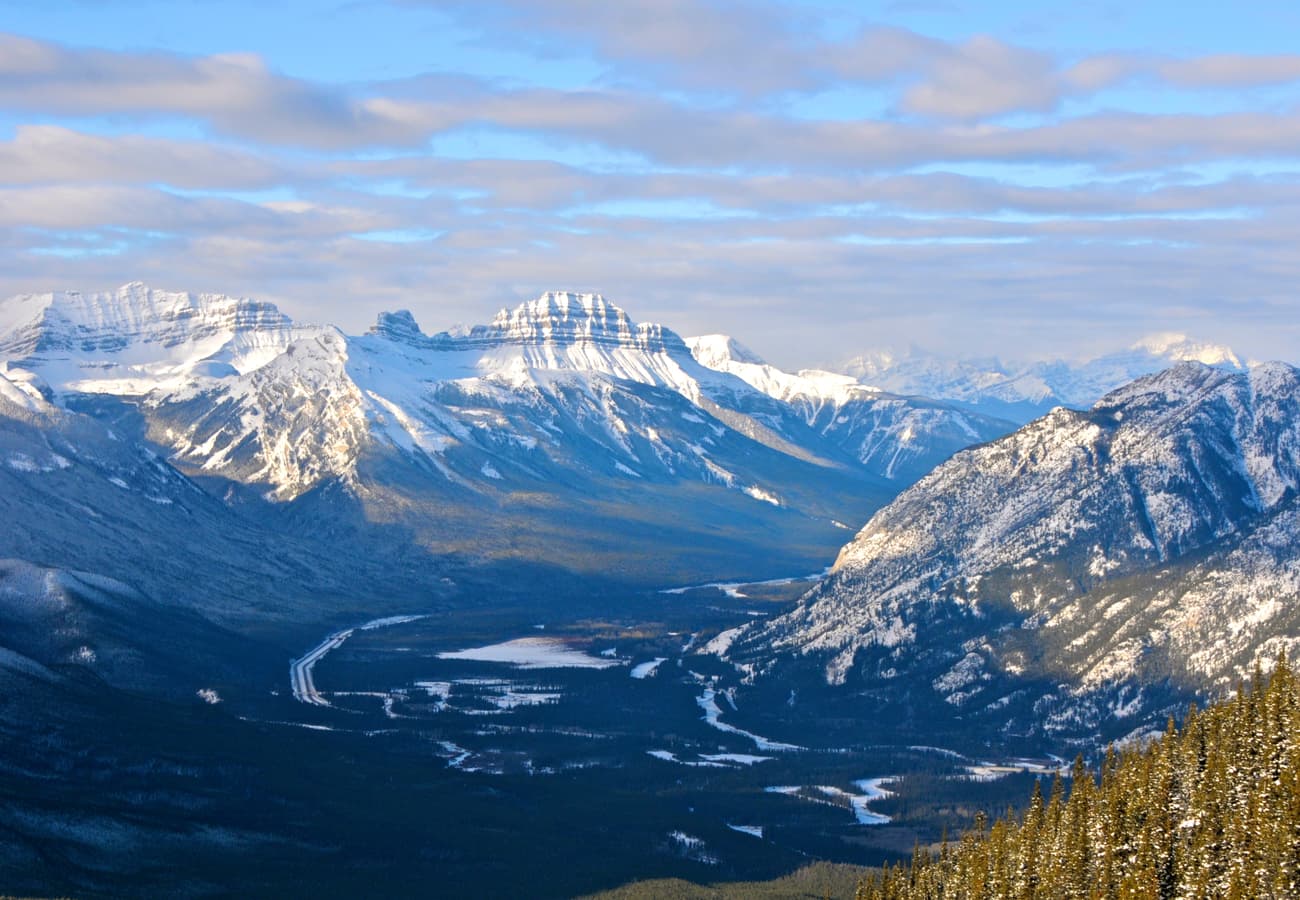
The Trans-Canada Highway sweeping across open mountain valleys and untamed northern landscapes
Covering nearly ten million square kilometers and bounded by three oceans, Canada is an overland traveler’s dream—a continent-sized expanse of rugged geography built for epic road trips. From the turquoise glacial torrents of the Canadian Rockies and the wave-battered granite headlands of the Atlantic Maritimes to French-colonial coastal loops and subarctic gravel tracks leading to the Arctic Ocean, the Great White North offers an astonishing diversity of driving terrain.
Drawing on thousands of community threads, road reports, and local advice across r/canadatravel, r/roadtrip, and provincial forums, here are the 10 best Canada road trip routes that Reddit travelers say are truly worth driving in 2026.
The Trans-Canada Highway sweeping across open mountain valleys and untamed northern landscapes.
1. The Icefields Parkway, Alberta (Jasper to Lake Louise / Highway 93N)
Stretching 232 kilometers (144 miles) through the heart of the Canadian Rocky Mountain Parks UNESCO World Heritage Site, Highway 93 North is almost universally acclaimed on Reddit as the single greatest alpine highway in North America.
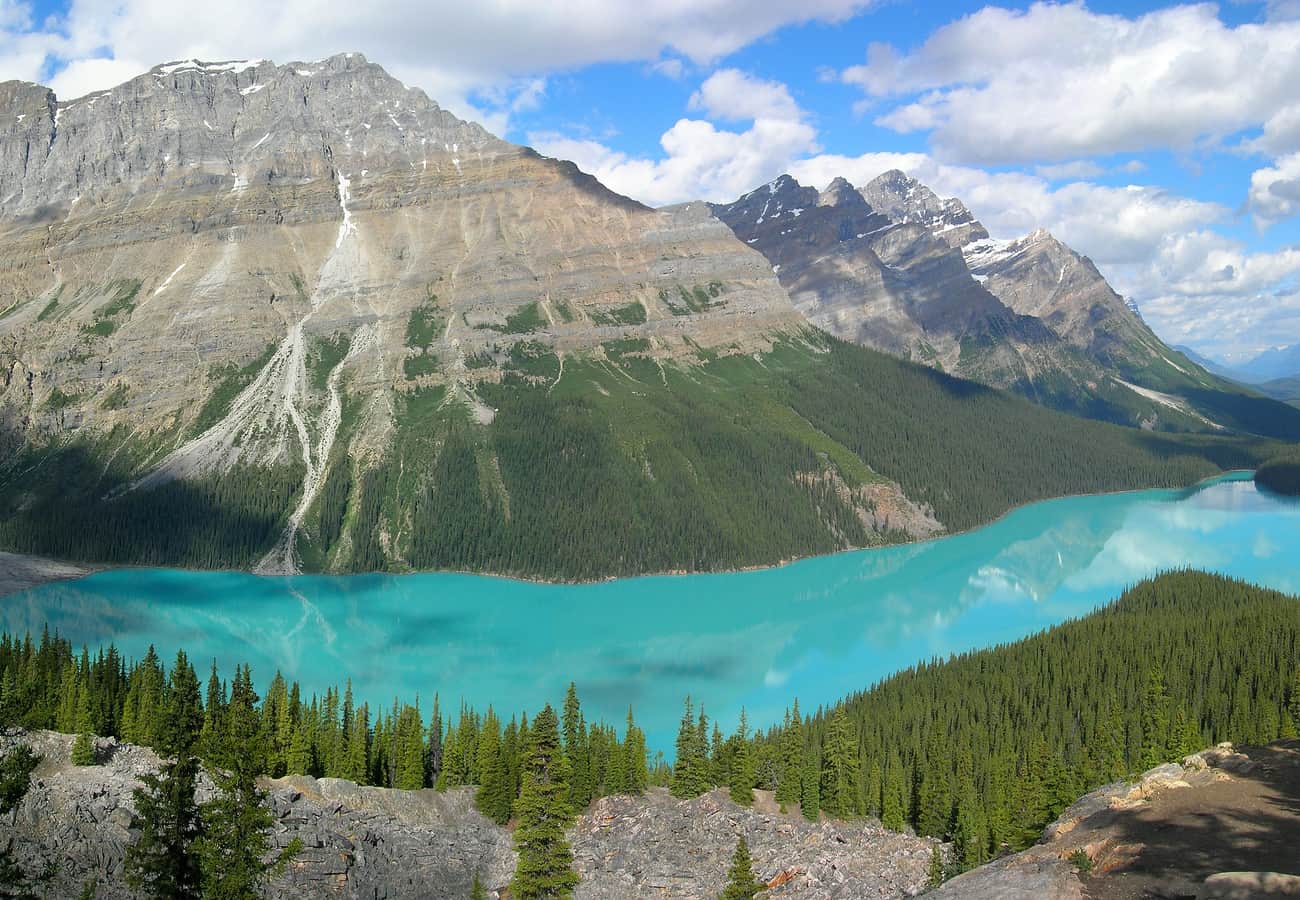 The brilliant wolf-shaped turquoise basin of Peyto Lake viewed from Bow Pass along the Icefields Parkway.
Reddit travelers recommend taking a full day to drive between Lake Louise and Jasper, pausing at Bow Lake, the elevated viewing platform at Peyto Lake, the vast tongue of Athabasca Glacier at the Columbia Icefield, and the crashing torrents of Sunwapta and Athabasca Falls. Start your journey before 8:00 AM to beat tour bus traffic and secure parking at prime viewpoints.
2. The Cabot Trail, Nova Scotia (Cape Breton Highlands National Park Loop)
Tracing the northern perimeter of Cape Breton Island over 298 kilometers (185 miles), the Cabot Trail climbs through lush river canyons and clings to sheer cliffs hundreds of feet above the churning Gulf of St. Lawrence.
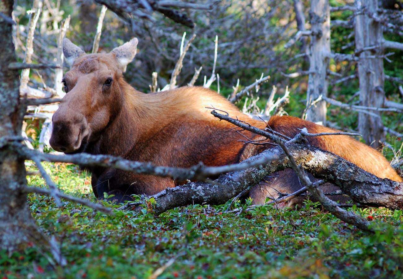 A bull moose foraging along the coastal highlands and boreal forests of Cape Breton Highlands National Park.
Reddit contributors suggest driving counter-clockwise so that the ocean drop-offs and scenic pullouts are directly on your right-hand side. Allocate at least two days to hike the world-famous Skyline Trail—where moose frequently stroll past the boardwalks—and savor freshly cracked snow crab in Acadian fishing villages like Chéticamp.
3. The Sea-to-Sky Highway, British Columbia (Vancouver to Whistler & Pemberton / Highway 99)
Carved into the vertical granite walls of Howe Sound, British Columbia Highway 99 transitions from the cosmopolitan skyline of Vancouver into the glaciated alpine playground of the Coast Mountains over 160 kilometers (100 miles).
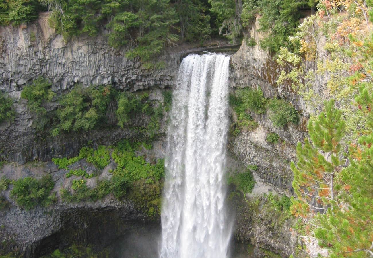 The plunging veil of Brandywine Falls along the Sea-to-Sky corridor near Whistler, British Columbia.
Reddit road-trippers advise stopping at Shannon Falls, riding the Sea to Sky Gondola in Squamish for panoramic views over coastal fjords, and walking the short trail to the 70-meter drop of Brandywine Falls. Beyond Whistler, continue past emerald-tinted Green Lake into the agricultural Pemberton Valley beneath Mount Currie.
4. The Gaspé Peninsula Loop / Tour de la Gaspésie, Quebec (Route 132)
Encircling eastern Quebec’s rugged Gaspé Peninsula over 885 kilometers (550 miles), Route 132 follows the widening Saint Lawrence River estuary to the open Atlantic ocean at the Gulf of St. Lawrence.
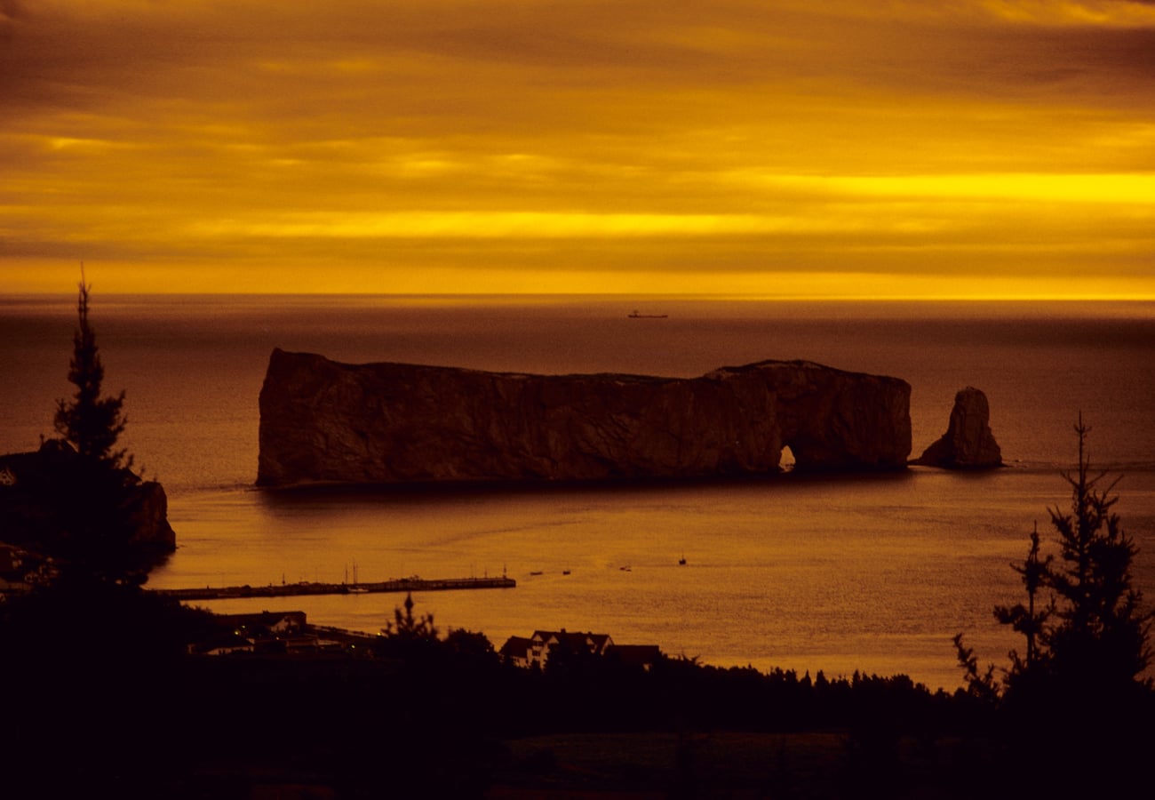 The colossal limestone arch of Percé Rock rising straight out of the Gulf of St. Lawrence in the Gaspé Peninsula.
On r/Quebec and r/canadatravel, road trippers rave about the European maritime atmosphere of this drive: picturesque lighthouses, shingled fishing hamlets, and fresh lobster poutine. Standout stops include the dramatic sea arches of Percé Rock, northern gannet colonies on Bonaventure Island, and the subalpine tundra peaks of Parc National de la Gaspésie.
5. The Viking Trail & Gros Morne Fjords, Newfoundland (Route 430)
Running 489 kilometers (304 miles) along the Great Northern Peninsula from Deer Lake to St. Anthony, Route 430 (The Viking Trail) cuts through Newfoundland’s raw, prehistoric landscape to the only authenticated Norse settlement in North America.
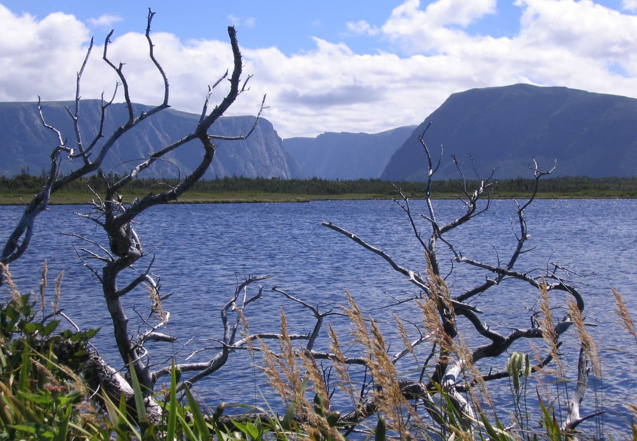 The billion-year-old freshwater fjord cliffs of Western Brook Pond in Gros Morne National Park, Newfoundland.
Reddit travelers consider Gros Morne National Park the ultimate geological wonderland. Walk the rust-colored Tablelands, where the Earth's exposed mantle rock supports almost no vegetation, and take the boat tour into the landlocked freshwater fjord of Western Brook Pond. At the northern tip, tour the 1,000-year-old turf sod longhouses of L'Anse aux Meadows National Historic Site.
6. The Trans-Taiga & James Bay Wilderness Highways, Northern Quebec
For adventurous overlanders seeking complete isolation, the James Bay Road (620 km) and the unpaved Trans-Taiga Highway (666 km) penetrate the deep subarctic wilderness of Eeyou Istchee Baie-James in Northern Quebec.
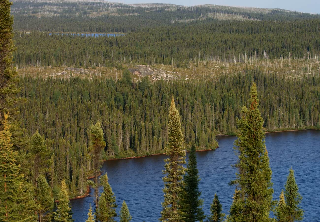 The remote, subarctic expanse of boreal spruce taiga and glacial waterways in Northern Quebec.
Reddit overlanders revere the Trans-Taiga as the most remote road in North America: its eastern terminus at the Caniapiscau Reservoir is 745 kilometers from the nearest town. There are no commercial services for hundreds of kilometers, making extra fuel cans, dual spare tires, and satellite messengers absolute necessities.
7. The Dempster Highway to the Arctic Ocean, Yukon & NWT
Starting near Dawson City, Yukon, and extending 736 kilometers (457 miles) across the Arctic Circle to Inuvik and the Arctic Ocean at Tuktoyaktuk, the unpaved Dempster Highway is Canada's definitive polar driving expedition.
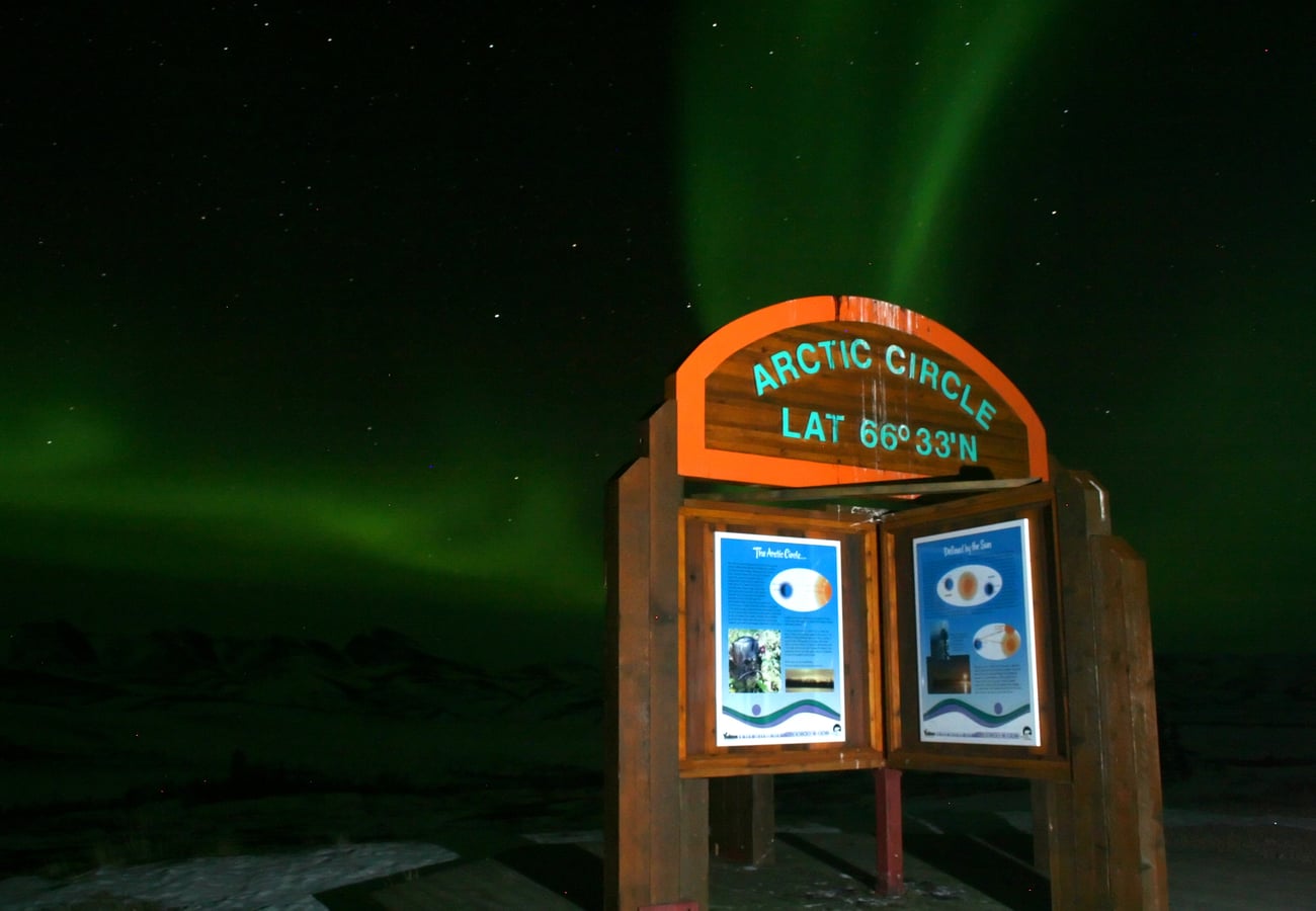 The mystical glow of the Aurora Borealis illuminating the subarctic night sky at the Arctic Circle.
Reddit travelers celebrate the breathtaking granite spires of Tombstone Territorial Park and the surreal thrill of dipping your toes into the Arctic Ocean at Tuktoyaktuk. In late August and September, the tundra turns brilliant crimson and gold, and the Northern Lights begin dancing across clear night skies.
8. The Georgian Bay Coastal Route & Bruce Peninsula, Ontario
Circumnavigating the crystal-clear waters of Georgian Bay over 1,350 kilometers (840 miles) via Highways 6, 69, and 17, this Ontario route showcases the rugged Canadian Shield landscapes that inspired the famous Group of Seven painters.
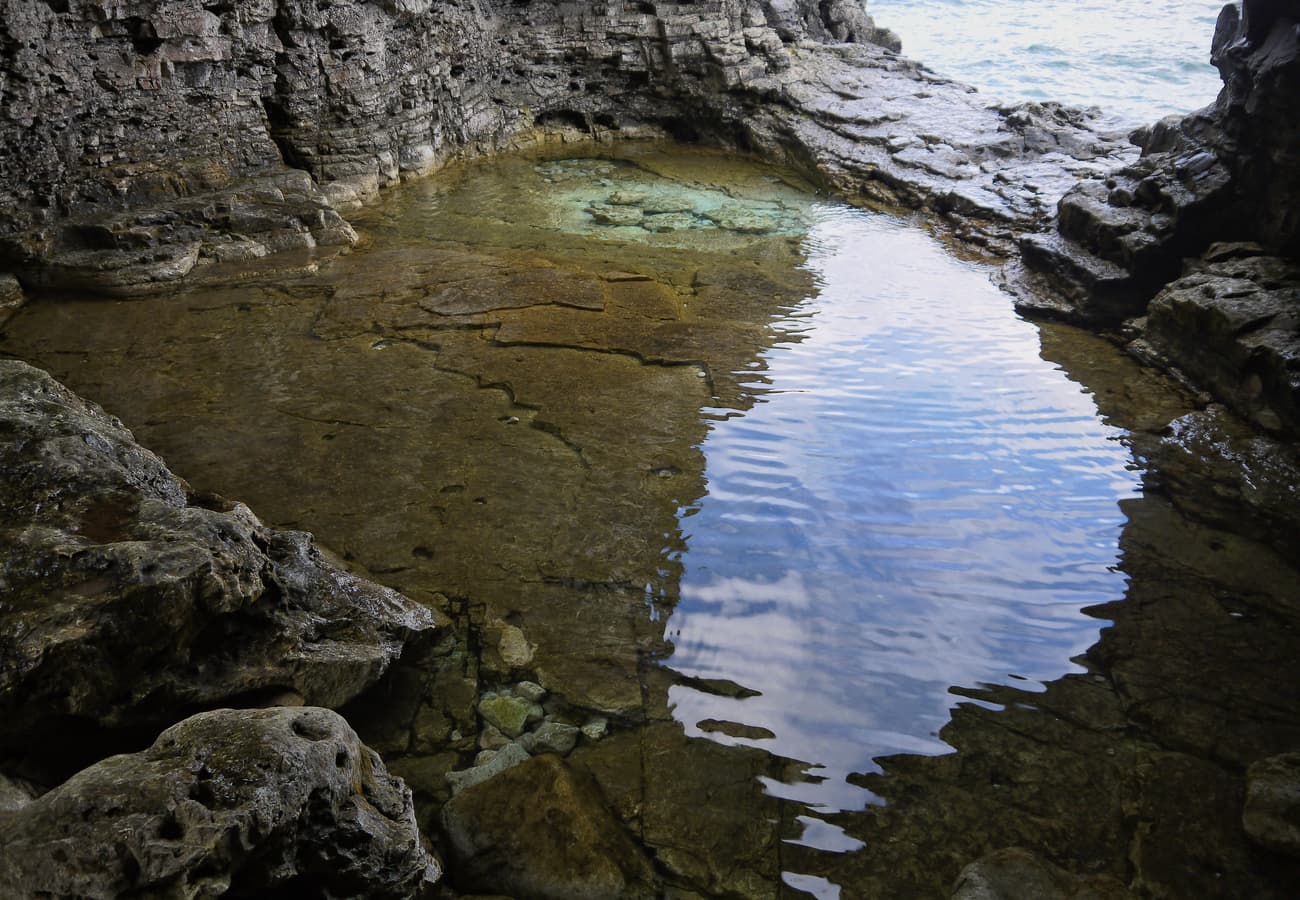 The azure, crystalline limestone grotto and wave-carved caves of Bruce Peninsula National Park along Georgian Bay.
Reddit road-trippers highlight the Bruce Peninsula section from Wiarton to Tobermory, where towering Niagara Escarpment limestone cliffs plunge into tropical-looking turquoise waters. From Tobermory, ride the Chi-Cheemaun vehicle ferry across to Manitoulin Island—the largest freshwater island on Earth—before continuing along the granite shoreline of Killarney Provincial Park.
9. The Red Sands Shore & Central Coastal Drive, Prince Edward Island
Spanning Prince Edward Island’s undulating pastoral hills, red sandstone sea cliffs, and warm Atlantic beaches, this 250-kilometer (155-mile) coastal loop showcases Canada's smallest and most picturesque province.
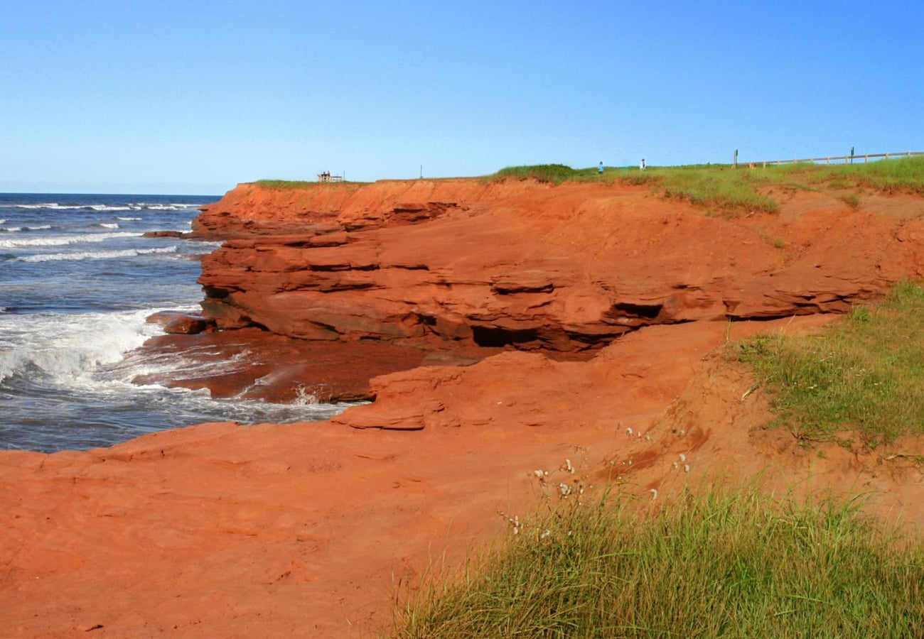 Rust-red sandstone sea cliffs and sweeping sand dunes at Cavendish Beach in Prince Edward Island National Park.
Reddit families and slow-travel advocates love the gentle pace of PEI driving. Cross the 8-mile Confederation Bridge from New Brunswick, explore Green Gables Heritage Place in Cavendish, sample fresh Malpeque oysters and steamed mussels at harbor wharves, and stroll miles of uncrowded red sand beaches during low tide.
10. The Dinosaur Trail & Canadian Badlands, Alberta (Drumheller to Dinosaur Provincial Park)
Cutting through the dramatic coulees and eroded sandstone canyons of the Red Deer River valley over 250 kilometers (155 miles), this road trip through southeastern Alberta transports motorists millions of years into the prehistoric past.
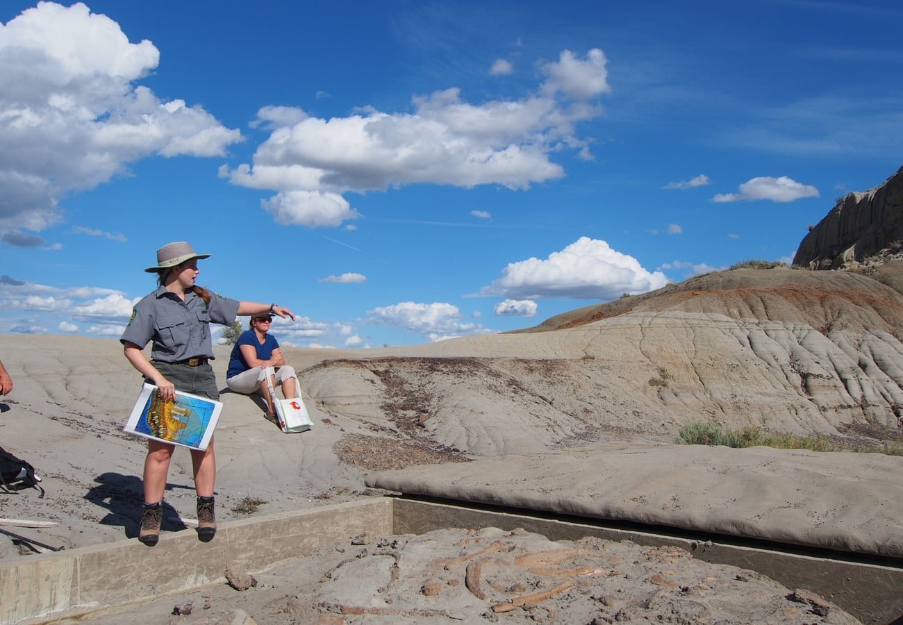 Eroded sandstone hoodoos and badland coulees at the field station in Dinosaur Provincial Park, Alberta.
Reddit road-trippers emphasize that the Alberta Badlands offer a striking, otherworldly contrast to the nearby Rocky Mountains. Explore the world-class Royal Tyrrell Museum in Drumheller, photograph mushroom-capped sandstone hoodoos, take the free cable ferry across the Red Deer River at Bleriot, and camp beneath dark star-studded skies in Dinosaur Provincial Park, a UNESCO World Heritage site where hundreds of complete dinosaur skeletons have been unearthed.
Canada Road Trip Comparison: Distance, Scenery & Reddit Highlights
| Road Trip Route | Province / Territory | Total Distance | Recommended Time | Dominant Scenery | Top Reddit Tip |
|---|---|---|---|---|---|
| Icefields Parkway | Alberta | 144 mi / 232 km | 1–2 Days | Glaciers, alpine peaks, turquoise lakes | Hike Peyto Lake Overlook; drive before 8:00 AM |
| Cabot Trail | Nova Scotia | 185 mi / 298 km | 2–3 Days | Coastal cliffs, highlands, boreal forest | Drive counter-clockwise; hike Skyline Trail |
| Sea-to-Sky Highway | British Columbia | 100 mi / 160 km | 1–2 Days | Ocean fjords, granite peaks, waterfalls | Stop at Shannon Falls & ride the Squamish Gondola |
| Gaspé Peninsula Loop | Quebec | 550 mi / 885 km | 5–7 Days | Sea arches, lighthouses, Acadian villages | Eat fresh lobster; visit Percé Rock at low tide |
| The Viking Trail | Newfoundland | 304 mi / 489 km | 4–6 Days | Ancient fjords, Tablelands, Viking ruins | Take the Western Brook Pond boat tour; watch for moose |
| Trans-Taiga Highway | Quebec | 414 mi / 666 km | 4–6 Days | Subarctic spruce taiga, hydro reservoirs | Bring 2 full-size spare tires & reserve fuel |
| Dempster Highway | Yukon & NWT | 457 mi / 736 km | 3–5 Days | Arctic tundra, mountain spires, Arctic Ocean | Stop at Tombstone; check Inuvik-Tuk highway updates |
| Georgian Bay Coastal | Ontario | 840 mi / 1,350 km | 5–7 Days | Limestone escarpment, crystalline caves | Book Bruce Grotto parking early; ride Chi-Cheemaun |
| PEI Coastal Drive | Prince Edward Island | 155 mi / 250 km | 2–3 Days | Red sand beaches, rolling pastoral farms | Cross Confederation Bridge; eat Malpeque oysters |
| Alberta Badlands | Alberta | 155 mi / 250 km | 2–3 Days | Prehistoric hoodoos, canyon coulees | Tour Royal Tyrrell Museum & Dinosaur Provincial Park |
Essential Tips for Road Tripping Across Canada in 2026
- Parks Canada Discovery Pass: If visiting more than two national parks (e.g., Banff, Jasper, Yoho, Gros Morne, Cape Breton Highlands), purchasing an annual Parks Canada Discovery Pass provides unlimited entry to over 80 federal national parks and historic sites, saving substantial admission fees.
- Winter Tire Regulations: In British Columbia and Quebec, winter tires (marked with the 3-peaked mountain snowflake symbol or M+S with minimum 3.5mm tread depth) are required by law from October 1 to April 30 (March 15 in Quebec) on all mountain highways.
- Moose Collision Vigilance: Moose are widespread across Newfoundland, Northern Ontario, Quebec, and British Columbia. Because of their tall center of gravity, moose collisions frequently cause vehicle cabin collapse. Avoid driving through heavily forested corridors between dusk and dawn, and keep your high beams on whenever safe.
- Metric System Awareness: All Canadian road signs, speed limits, and fuel pumps use the metric system. Speed limits are in km/h (100 km/h = 62 mph), distances are in kilometers, and gasoline is priced and sold in liters (3.785 liters = 1 US gallon).
- Remote Travel Connectivity: Cell service drops rapidly outside major metropolitan corridors. Always download Google Maps or Maps.me offline layers for your entire route, and carry an emergency satellite communicator (Garmin inReach or ZOLEO) when driving wilderness routes like the Dempster or Trans-Taiga.
Frequently Asked Questions
What is the most scenic road trip in Canada?
The Icefields Parkway in Alberta (Highway 93N) and the Cabot Trail in Nova Scotia consistently rank as the top two most scenic drives in Canada on Reddit travel communities, celebrated respectively for their glaciated Rocky Mountain peaks and dramatic Atlantic ocean cliff vistas.
Can you drive across all of Canada on the Trans-Canada Highway?
Yes. The Trans-Canada Highway (Highway 1) is the world's longest national highway, stretching 7,821 kilometers (4,860 miles) from Victoria, British Columbia, to St. John's, Newfoundland. Completing the entire drive typically takes 2 to 3 weeks of steady travel.
What is the best month to do a road trip in Canada?
July and August offer the most dependable warm weather, open mountain passes, and operating ferry schedules across all provinces. Late September is ideal for viewing golden larches in the Rockies and peak fall foliage in Ontario, Quebec, and the Maritimes.
Related Travel Guides
Disclaimer
This article is for informational and educational purposes only. It does not constitute legal, financial, or professional advice. While we strive to provide accurate and up-to-date information, travel policies, regulations, and conditions change rapidly. Always verify information with official sources before making travel decisions. Nomad Lawyer makes no representations about the accuracy, reliability, completeness, or suitability of the information provided. Readers should consult qualified professionals for advice specific to their circumstances. The views expressed in this article are those of the author and do not necessarily reflect the views of Nomad Lawyer.
Raushan Kumar
Founder & Lead Developer
Full-stack developer with 11+ years of experience and a passionate traveller. Raushan built Nomad Lawyer from the ground up with a vision to create the best travel and law experience on the web.
Learn more about our team →