
10 Best Banff to Jasper Road Trip Stops Reddit Travelers Recommend in 2026
From Lake Louise and Moraine Lake to Bow Summit, Athabasca Glacier, and Pyramid Lake, explore the 10 best Banff to Jasper road trip stops Reddit travelers recommend in 2026.

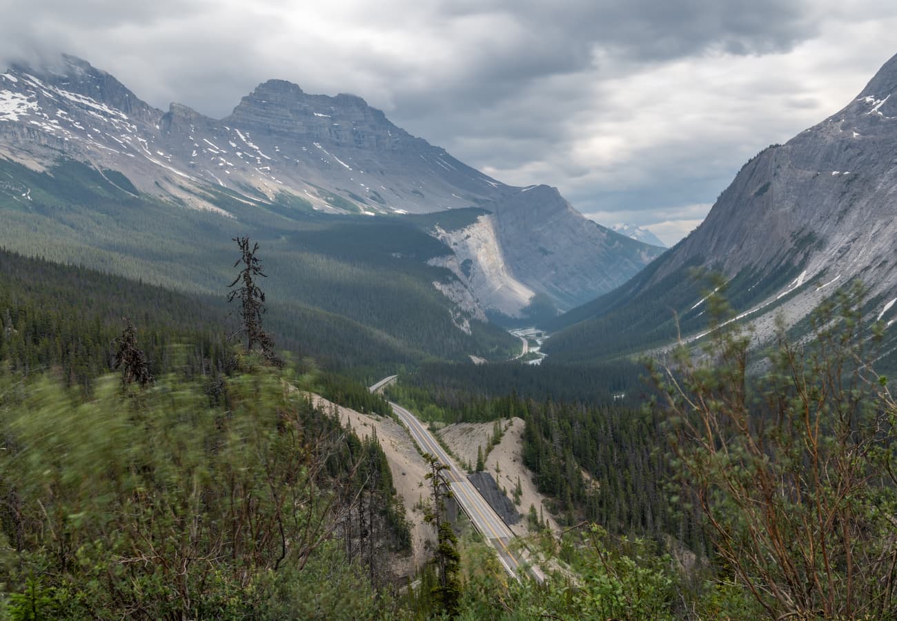
An elevated vista of the Icefields Parkway cutting through glaciated valleys between Banff and Jasper
Stretching 180 miles (290 km) between two of Canada's most celebrated alpine townsites, the journey from Banff to Jasper along Highway 93 North is widely recognized as one of the most magnificent mountain drives on planet Earth. Traversing the rugged Continental Divide across Banff and Jasper National Parks, the route passes more than 100 ancient glaciers, hanging icefields, thundering waterfalls cascading through sheer limestone canyons, and dozens of luminous, rock-flour-fed turquoise lakes.
Yet experiencing this alpine corridor to its fullest requires discipline and timing. While the direct highway drive can technically be rushed in under four hours, seasoned road trippers universally caution against treating it as a transit commute. With zero cell phone reception for nearly 140 continuous miles, limited gas and food services, and high-altitude hiking trailheads that fill before mid-morning, knowing where to stop transforms your drive into an unforgettable Rocky Mountain safari. On forums like r/Banff, r/Jasper, and r/roadtrip, community veterans share their hard-earned insights. Here are the 10 best Banff to Jasper road trip stops Reddit travelers recommend in 2026.
1. Lake Louise & Mount Victoria
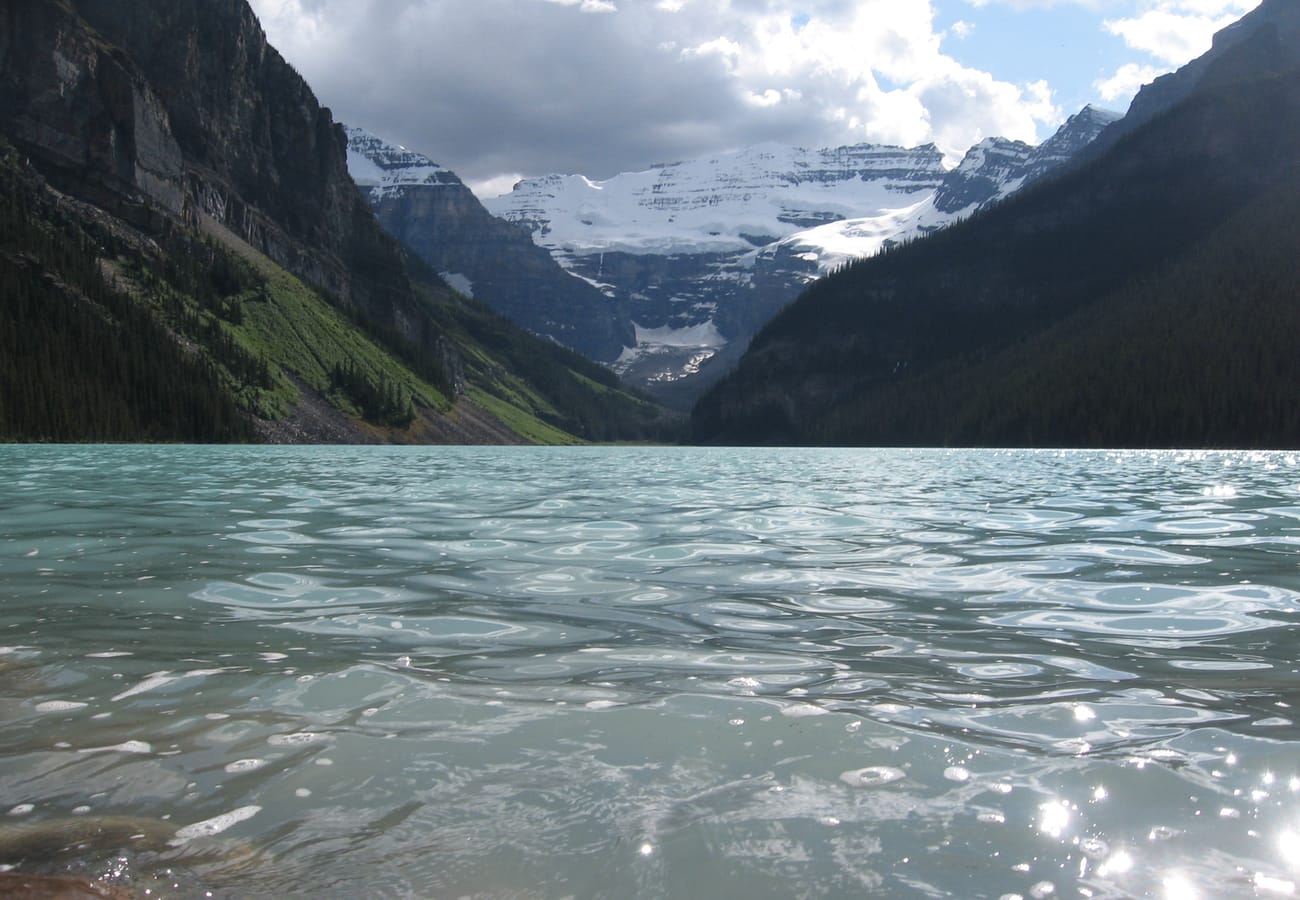 The glowing turquoise glacial waters of Lake Louise reflecting Mount Victoria and its hanging glacier.
The classic starting point for the northern expedition toward Jasper, Lake Louise is framed by the sheer glaciated face of Mount Victoria and the historic 1890 Fairmont Chateau Lake Louise.
Rent a traditional red canoe to paddle the glacial waters, hike the lakeside trail toward the Plain of Six Glaciers, or tackle the switchbacks up to the historic Lake Agnes Tea House for freshly baked scones and mountain tea. In early morning light, the lake surface is mirror-smooth, reflecting snow-capped peaks in startling clarity.
Reddit contributors urge travelers to arrive before 7:00 AM if attempting to use the public lakeside paid parking lot, or book the Parks Canada Park-and-Ride shuttle from the Lake Louise ski resort well in advance.
2. Moraine Lake & The Valley of the Ten Peaks
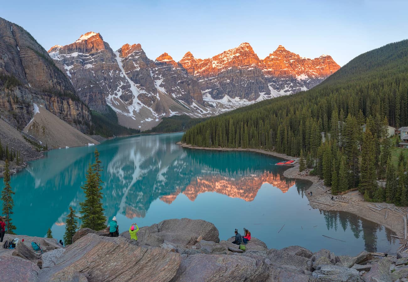 Panoramic view of Moraine Lake's brilliant cobalt waters sheltered beneath the Valley of the Ten Peaks.
Located just 8.5 miles from Lake Louise, Moraine Lake rests in the shadow of ten jagged 10,000-foot peaks that once adorned the back of the Canadian twenty-dollar bill.
Climb the gentle rock stairs of the Rockpile Trail for the iconic "Twenty Dollar View," where the deep neon-blue water owes its radiant hue to sunlight refracting off glacial rock flour suspended in the lake. Continue along the shoreline trail into the Larch Valley, particularly breathtaking in late September when the subalpine larch needles turn brilliant golden yellow.
Crucial 2026 Reddit Travel Rule: Personal private vehicles are banned on Moraine Lake Road. You must reserve official Parks Canada shuttle tickets or board the Roam Transit bus from Banff/Lake Louise.
3. Herbert Lake & Hector Lake Overlook
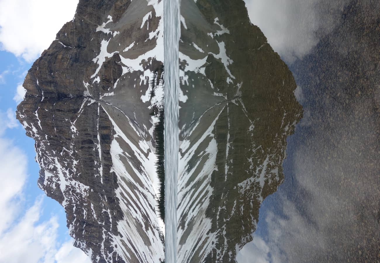 The quiet, mirror-smooth waters of Hector Lake surrounded by dense pine forests in northern Banff.
Shortly after passing the northern entrance kiosk onto Highway 93 North, these two early lakes provide a peaceful, crowd-free introduction to the Icefields Parkway.
Herbert Lake, located just three miles north of the junction, is a beloved spot among local photographers at dawn, when the reflection of Mount Temple and the Waputik Range is undisturbed by wind. Further north, the roadside turnout for Hector Lake looks down upon one of Banff’s largest natural glacial lakes, framed by the jagged cliffs of Mount Hector.
Redditors recommend stopping at Herbert Lake for your morning coffee thermos stop, taking advantage of rustic picnic tables and serene lake trails with virtually zero tourist crowds.
4. Bow Lake & Crowfoot Glacier
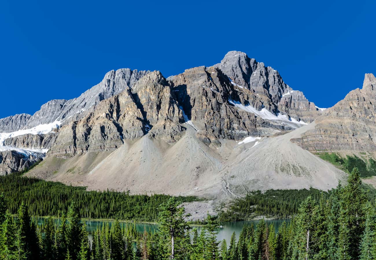 Bow Lake’s crystal-clear shoreline looking toward Crowfoot Mountain and the Bow Glacier headwaters.
Spanning beneath the massive vertical rock wall of Crowfoot Mountain, Bow Lake is the source of the mighty Bow River that flows south through Banff and Calgary.
Just south of the lake, pull into the Crowfoot Glacier Viewpoint to photograph the three "toes" of the hanging glacier clinging to the rock face. At Bow Lake, admire the historic red-roofed Num-Ti-Jah Lodge (built by legendary pioneer trail guide Jimmy Simpson) and take the gentle 5.6-mile roundtrip hike along the lakeshore to the base of Bow Glacier Falls.
Reddit hikers praise Bow Lake for its expansive gravel shoreline, allowing visitors to walk right to the water's edge and feel the icy chill of pure glacial runoff.
5. Peyto Lake & Bow Summit Lookout
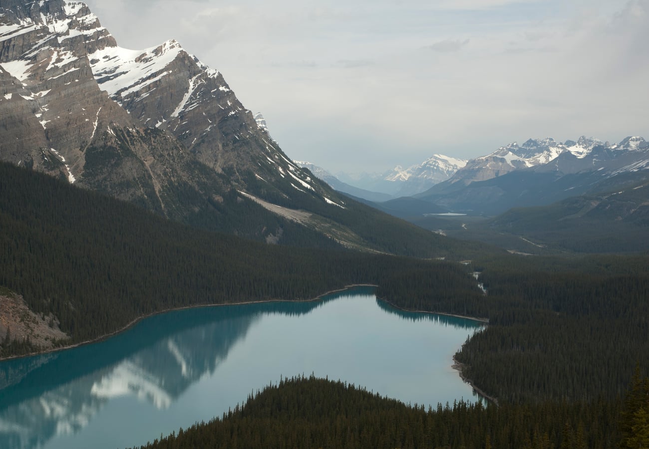 The iconic wolf-head shaped turquoise waters of Peyto Lake viewed from the Bow Summit alpine observation deck.
At 6,847 feet (2,087 m) above sea level, Bow Summit marks the highest point on the drive between Banff and Jasper.
A paved 0.6-mile trail climbs through subalpine firs to the renovated timber viewing platform overlooking Peyto Lake. Shaped remarkably like the head of a wolf or howling coyote, Peyto Lake displays an intense electric-turquoise color from late June through September, fed directly by the grinding action of the Peyto Glacier high above the Mistaya Valley.
Reddit contributors advise taking the dirt side trail leading past the crowded wooden platform out to the natural rock slabs for unobstructed, crowd-free photography.
6. Mistaya Canyon & Limestone Gorge
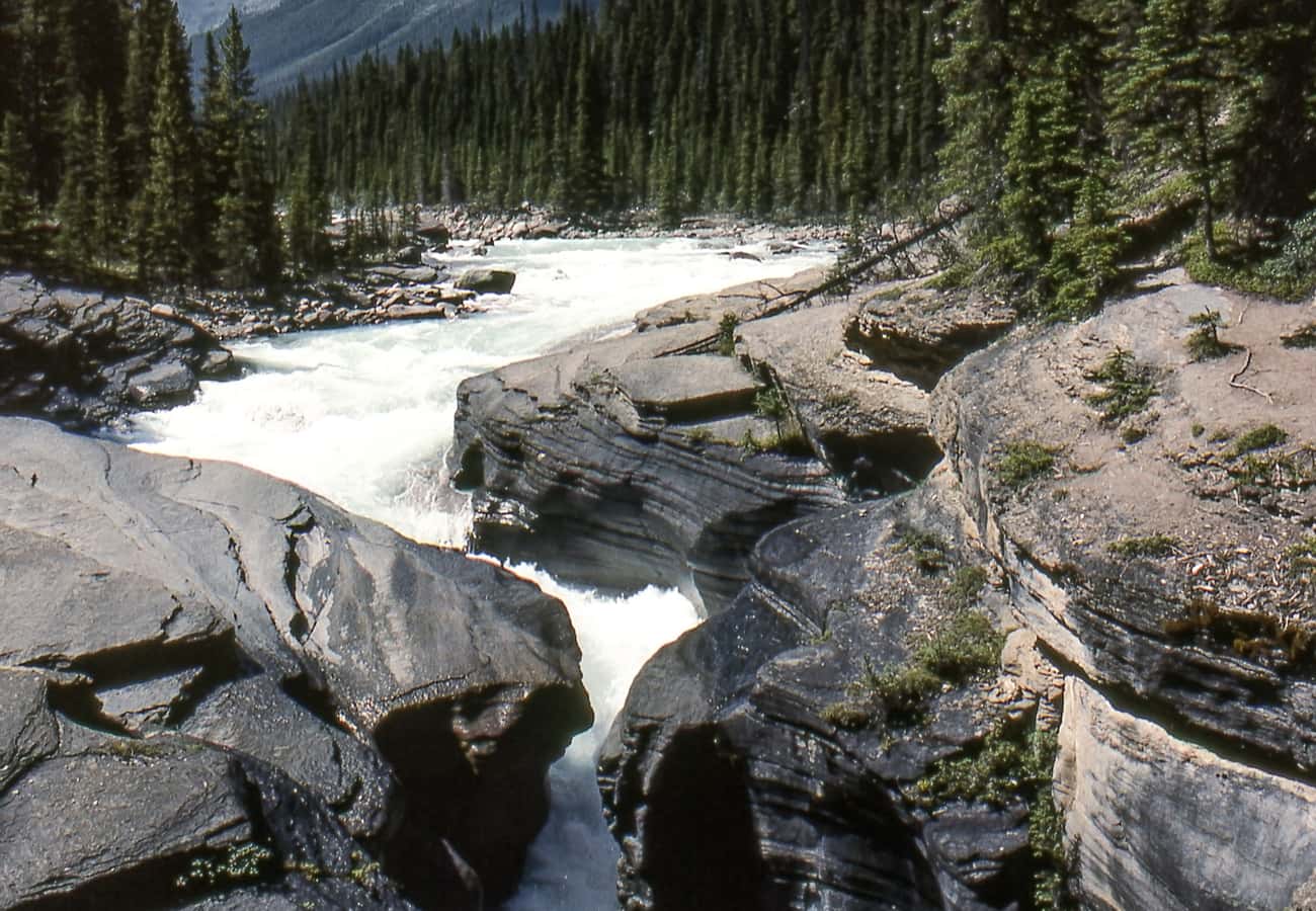 The swirling, churning glacial torrents of the Mistaya River carving deep curvaceous limestone canyons.
Descending from Bow Summit toward the Saskatchewan River Crossing, Mistaya Canyon showcases the astonishing erosive power of rushing glacial meltwater.
A short, easy 0.3-mile downhill walk through pine forest leads to a sturdy bridge spanning a narrow, curving chasm carved hundreds of feet deep into ancient limestone bedrock. The Mistaya River thunders through sculpted potholes and whirlpools, churning with violent hydraulic force beneath your feet against Mount Sarbach.
Redditors recommend wearing sturdy footwear, as mist from the canyon can make the smooth limestone rocks near the gorge edge slippery.
7. Columbia Icefield & Athabasca Glacier
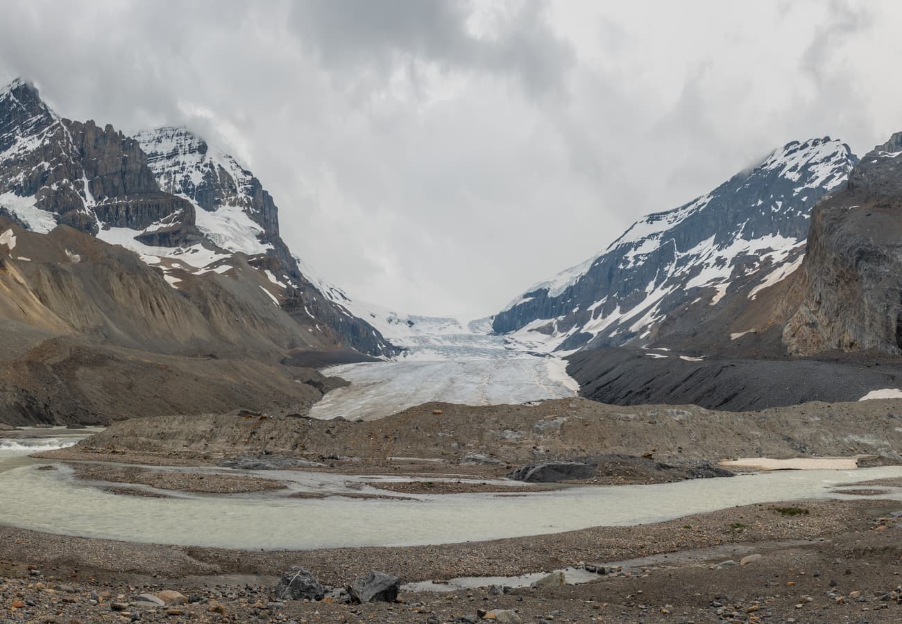 The massive ice tongue of Athabasca Glacier flowing down from the Columbia Icefield into the valley floor.
Marking the boundary between Banff and Jasper National Parks, the Columbia Icefield is the largest accumulation of ice in the Rocky Mountains south of the Arctic Circle, feeding three separate oceans (Pacific, Arctic, and Atlantic/Hudson Bay).
At the Columbia Icefield Discovery Centre, visitors can view the Athabasca Glacier, a massive 3.7-mile ice tongue cascading down from the icefield. Hike the free "Toe of the Athabasca Glacier" trail to see historical markers illustrating how dramatically the glacier has receded over the past century, or board a giant six-wheeled Ice Explorer vehicle for a guided walk directly onto the ancient blue ice.
Community members on r/Jasper emphasize bringing warm winter windbreakers, beanies, and gloves even in mid-July, as freezing katabatic winds constantly blast down from the glacier.
8. Sunwapta Falls & Canyon
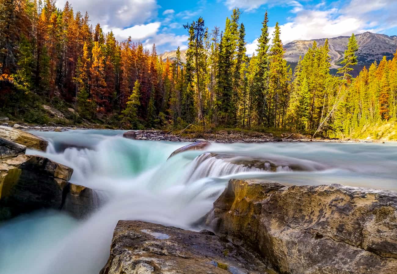 The thundering class-6 rapids of Sunwapta Falls plunging into a deep limestone gorge in Jasper National Park.
Derived from the Stoney Nakoda Indigenous word meaning "turbulent water," Sunwapta Falls is a dramatic pair of waterfalls fed directly by the Athabasca Glacier.
At Upper Sunwapta Falls, the river splits around a forested island before plunging 60 feet into a deep, twisting canyon carved out of ancient limestone strata. A footbridge directly above the falls offers stunning spray-filled views. For travelers with extra time, the 1.8-mile roundtrip hike through lodgepole pines down to Lower Sunwapta Falls reveals a series of uncrowded, powerful river drops.
Reddit visitors note that early summer (late May through June) delivers the highest water volume as mountain snowpack melts rapidly.
9. Athabasca Falls & Mount Kerkeslin
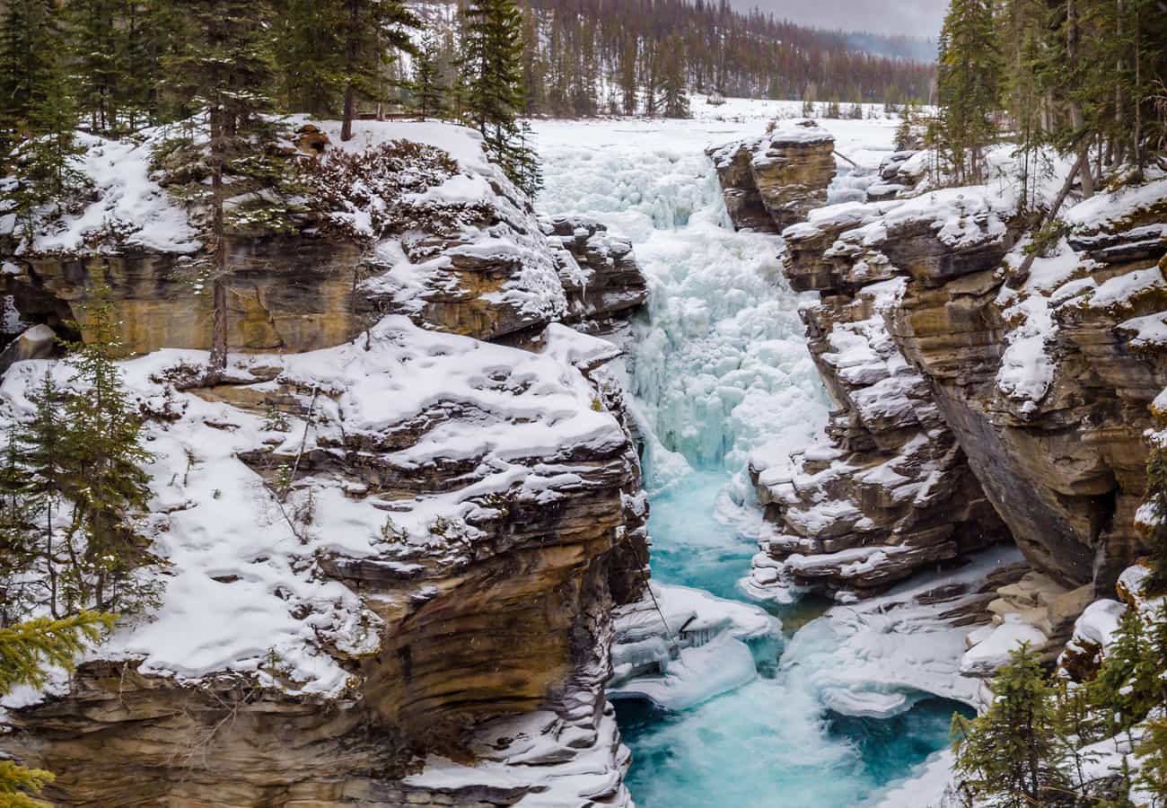 The immense hydraulic force of Athabasca Falls crashing over quartzite cliffs beneath Mount Kerkeslin.
Located roughly 20 miles south of Jasper townsite, Athabasca Falls is celebrated not for its height (75 feet), but for the immense hydraulic force of the mighty Athabasca River roaring through a narrow gorge of hard quartzite and softer limestone.
A network of paved interpretive walkways and viewing platforms allows visitors to explore abandoned ancient riverbeds, dry canyon potholes, and dramatic spray-filled lookouts framing the imposing, stratified pyramid of Mount Kerkeslin in the background.
Redditors recommend visiting in late afternoon when the setting sun illuminates the mist in vibrant rainbows across the river gorge.
10. Jasper Townsite, Pyramid Lake & Maligne Canyon
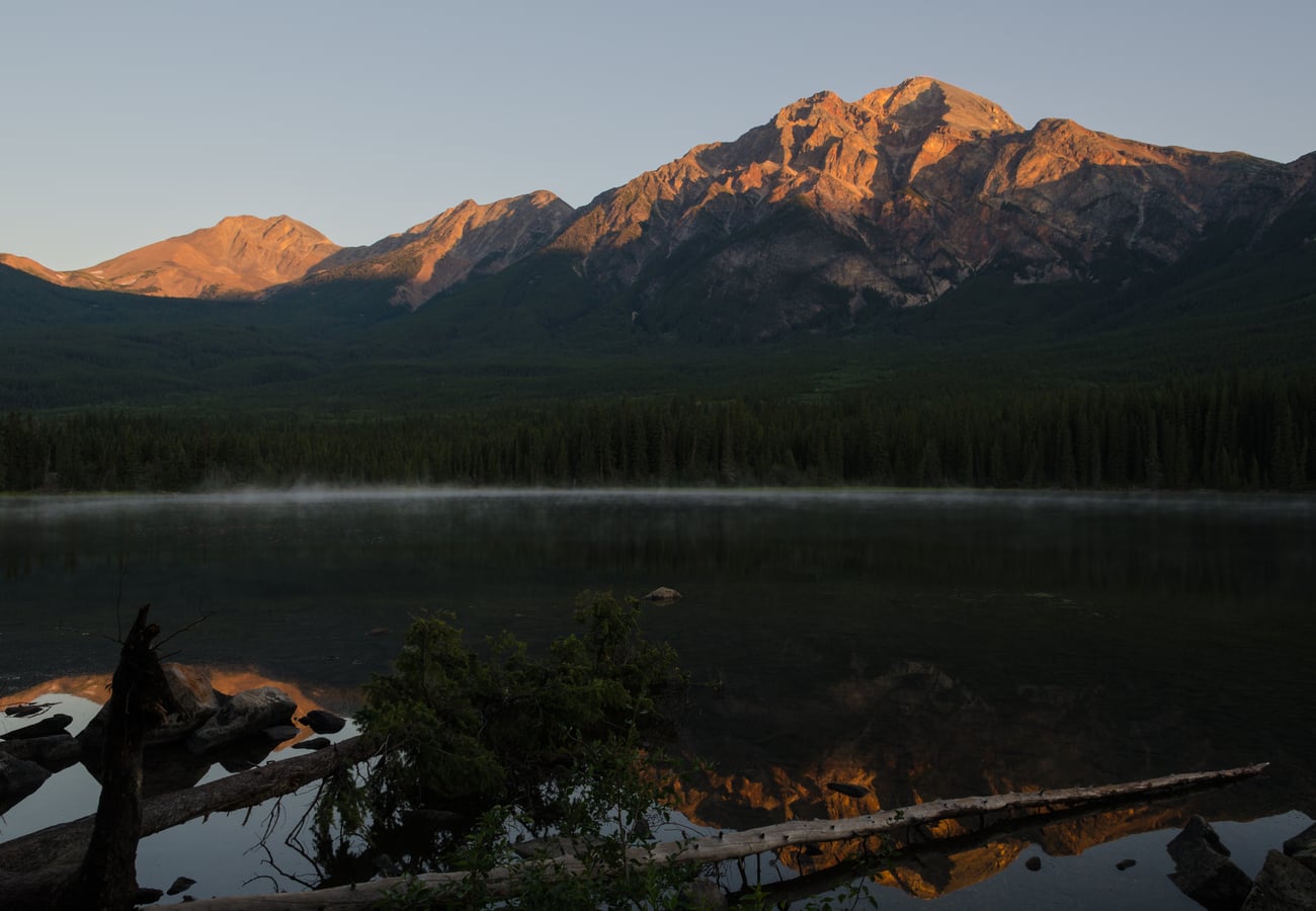 Dawn reflections of Pyramid Mountain's reddish sandstone summit across the glass-still waters of Pyramid Lake.
Concluding the drive in the historic railway town of Jasper, the landscape feels more open, wild, and uncommercialized than southern Banff.
Just north of the townsite, drive to Pyramid Lake and cross the wooden footbridge to Pyramid Island, where red sandstone peaks mirror in the glassy water. Explore Maligne Canyon, the deepest slot canyon in Jasper (dropping over 160 feet), and look for wild elk, bighorn sheep, and black bears grazing peacefully on the edges of the townsite. At night, marvel at Jasper’s status as the world's second-largest Dark Sky Preserve.
Reddit travelers praise Jasper for its relaxed, authentic mountain-town vibe, excellent local bakeries, and wildlife sightings right along the residential roads.
Banff to Jasper Road Trip: Mileage & Stop Matrix
| Stop Number & Highlight | Distance from Banff | Elevation | Key Natural Attraction | Reddit Traveler Insider Advice |
|---|---|---|---|---|
| 1. Lake Louise | 35 miles | 5,680 ft | Turquoise waters, Victoria Glacier | Reserve Park-and-Ride shuttle; rent canoes early. |
| 2. Moraine Lake | 43 miles | 6,183 ft | Valley of the Ten Peaks, Rockpile | Cars banned; shuttle reservation mandatory. |
| 3. Herbert & Hector Lakes | 38–48 miles | 5,300 ft | Mirror reflections, zero crowds | Best early morning quiet coffee thermos stop. |
| 4. Bow Lake & Crowfoot | 58 miles | 6,365 ft | Crowfoot Glacier, Num-Ti-Jah Lodge | Walk right to glacial gravel shores; photograph Crowfoot. |
| 5. Peyto Lake (Bow Summit) | 62 miles | 6,847 ft | Wolf-head turquoise lake view | Highest pass on drive; walk past platform to rock slabs. |
| 6. Mistaya Canyon | 80 miles | 4,800 ft | Swirling limestone gorge & potholes | Short 0.3-mile walk; wear shoes with good traction. |
| 7. Columbia Icefield | 115 miles | 6,450 ft | Athabasca Glacier, ancient icefield | Free Toe-of-Glacier trail; pack warm winter layers. |
| 8. Sunwapta Falls | 145 miles | 4,400 ft | 60-ft churning falls & deep canyon | Walk down to Lower Falls to escape tour bus crowds. |
| 9. Athabasca Falls | 160 miles | 3,900 ft | Powerful river canyon, Mt. Kerkeslin | Late afternoon sun creates beautiful rainbows in mist. |
| 10. Jasper & Pyramid Lake | 180 miles | 3,480 ft | Pyramid Island, Dark Sky preserve | World-class stargazing; elk frequently spot near town. |
Essential Driver Logistics for Banff to Jasper in 2026
- Fuel Up Completely Before Departing: The only gas station between Lake Louise and Jasper is located at Saskatchewan River Crossing (Mile 95), which charges premium prices and is closed during winter. Always start your journey with a completely full tank.
- Zero Cell Phone Reception: There is no cellular service for approximately 140 miles between Herbert Lake and Athabasca Falls. Download Google Maps offline areas and Parks Canada trail guides to your smartphone before leaving Banff or Lake Louise.
- Pack Food & Drinking Water: Services along the Icefields Parkway are limited to seasonal cafeterias at Saskatchewan River Crossing and the Columbia Icefield Centre. Pack a cooler with picnic lunches, snacks, and water to maximize your time at scenic pullouts.
- Observe Wildlife Speed Limits: The Icefields Parkway is a critical wildlife corridor for grizzly bears, black bears, moose, woodland caribou, and bighorn sheep. The posted speed limit is 90 km/h (55 mph), dropping to 70 km/h or 50 km/h in wildlife zones. Never approach or feed wildlife.
Frequently Asked Questions
How long does the drive from Banff to Jasper take?
Direct driving without stopping takes roughly 3.5 to 4 hours (180 miles / 290 km). However, to explore Peyto Lake, Bow Lake, Athabasca Glacier, and the waterfalls, Reddit travelers recommend budgeting a full day (8 to 10 hours), or splitting the journey with an overnight stay along the route.
What is the best month to drive from Banff to Jasper?
July, August, and September provide the best conditions: fully thawed turquoise lakes, open hiking trails, comfortable temperatures, and operating visitor facilities. In late September, the golden autumn larches create stunning photo opportunities.
Is the road from Banff to Jasper open year-round?
Yes, Highway 93 North is open year-round, but winter driving (November to April) requires certified winter tires, emergency cold-weather gear, and careful monitoring of avalanche closures. Road services and fuel at Saskatchewan River Crossing are closed in winter.
Related Travel Guides
Disclaimer
This article is for informational and educational purposes only. It does not constitute legal, financial, or professional advice. While we strive to provide accurate and up-to-date information, travel policies, regulations, and conditions change rapidly. Always verify information with official sources before making travel decisions. Nomad Lawyer makes no representations about the accuracy, reliability, completeness, or suitability of the information provided. Readers should consult qualified professionals for advice specific to their circumstances. The views expressed in this article are those of the author and do not necessarily reflect the views of Nomad Lawyer.
Raushan Kumar
Founder & Lead Developer
Full-stack developer with 11+ years of experience and a passionate traveller. Raushan built Nomad Lawyer from the ground up with a vision to create the best travel and law experience on the web.
Learn more about our team →