
10 Best Arizona and Utah Road Trips Reddit Travelers Recommend in 2026
Explore the 10 best Arizona and Utah road trips recommended by Reddit travelers in 2026, from the Grand Circle to hidden slot canyons and cliffside byways.

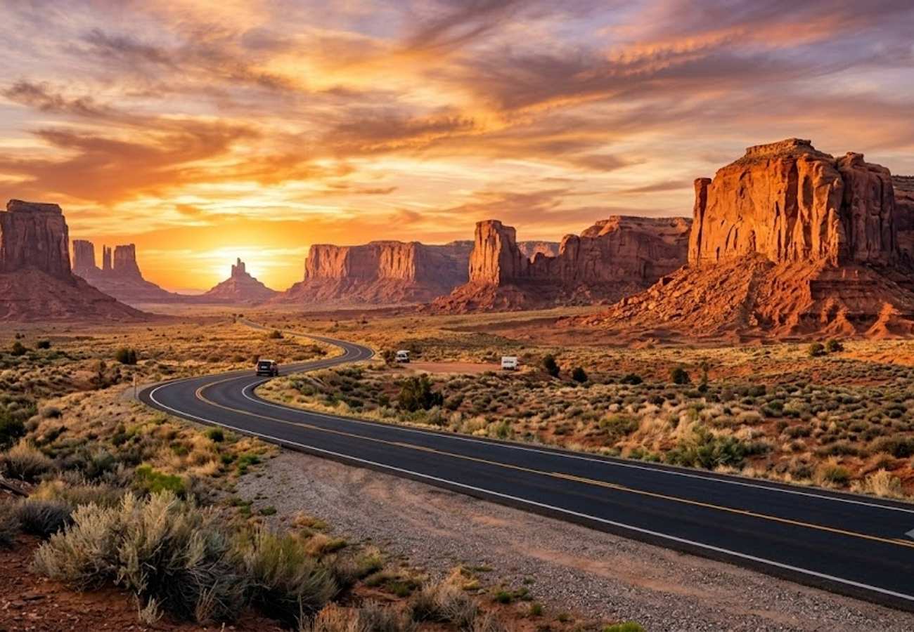
Image generated by AI
Spanning the sculpted red rock amphitheaters, labyrinthine sandstone canyons, and sun-bleached desert plateaus of the American Southwest, the borderlands of Arizona and Utah represent the ultimate road-tripping frontier. Nowhere else in North America does the geological anatomy of the Earth stand so dramatically exposed. Within a single multi-day journey, motorists can ascend from saguaro-studded Sonoran basins to alpine aspen forests perched at 9,000 feet, traversing towering crimson mesas and plunging river chasms that defy imagination.
Yet pulling off a seamless Southwest expedition in 2026 requires far more than loading a rental SUV with water jugs and trusting an automated routing app. Between timed-entry vehicle reservations at national parks, seasonal flash flood hazards in narrow slot canyons, blistering summer temperatures topping 110°F, and remote dirt passes requiring high-clearance four-wheel-drive, meticulous route selection is paramount.
Drawing from community-tested itineraries, trail reports, and logistical advice from seasoned Southwest drivers, here are the 10 best Arizona and Utah road trips recommended for the 2026 travel season.
Arizona & Utah Road Trip Comparison
| Route & Region | Distance & Suggested Time | Defining Geological Highlight | Crucial Timing & Vehicle Tip |
|---|---|---|---|
| 1. The Classic Grand Circle Loop | 950–1,200 miles (10–14 days) | Zion, Bryce, Capitol Reef, Moab & Grand Canyon | Spring or Autumn; book Zion shuttles and Arches entry months ahead |
| 2. Sedona to Zion via Oak Creek & Page | 330 miles (3–5 days) | Red rock vortexes, Horseshoe Bend & Zion Tunnel | Drive early morning to avoid Oak Creek Canyon commuter gridlock |
| 3. Grand Canyon North Rim to Bryce Plateau | 160 miles (2–3 days) | 8,000-ft forested rim & crimson hoodoo amphitheaters | Open mid-May to mid-October only; far fewer crowds than South Rim |
| 4. Monument Valley & Valley of the Gods | 85 miles (1–2 days) | Iconic sandstone mittens & unpaved Moki Dugway cliff pass | High clearance helpful for Valley of the Gods; avoid trailers on Moki Dugway |
| 5. Utah Scenic Byway 12 & Capitol Reef | 124 miles (2–3 days) | The Hogback knife-edge ridge & slickrock canyons | Daylight driving essential; zero guardrails along the narrow Hogback spine |
| 6. Vermilion Cliffs & Marble Canyon Byway | 110 miles (1–2 days) | Navajo Bridge, California condors & Buckskin Gulch | Check weather carefully; never enter slot canyons if rain threatens upstream |
| 7. Tucson to Sedona via Apache Trail & Jerome | 260 miles (2–4 days) | Giant saguaro forests, ghost towns & mountain hairpins | Verify AZ-88 Fish Creek Hill status; tight corners require attentive braking |
| 8. Moab to Monument Valley via Needles District | 180 miles (2–3 days) | Solitary Cedar Mesa sandstone needles & petroglyphs | Stop at Newspaper Rock; Needles district offers solitude away from Arches |
| 9. Zion to Las Vegas via Valley of Fire | 170 miles (1–2 days) | Swirling Aztec red sandstone waves & petroglyphs | Visit Valley of Fire at golden hour; summer pavement temperatures exceed 130°F |
| 10. The Arizona Strip & Toroweap Overlook | 120 miles roundtrip (1 day) | 3,000-ft sheer drop to the Colorado River | True high-clearance 4WD required; carry 2 spare tires and extra water |
1. The Classic Grand Circle Loop
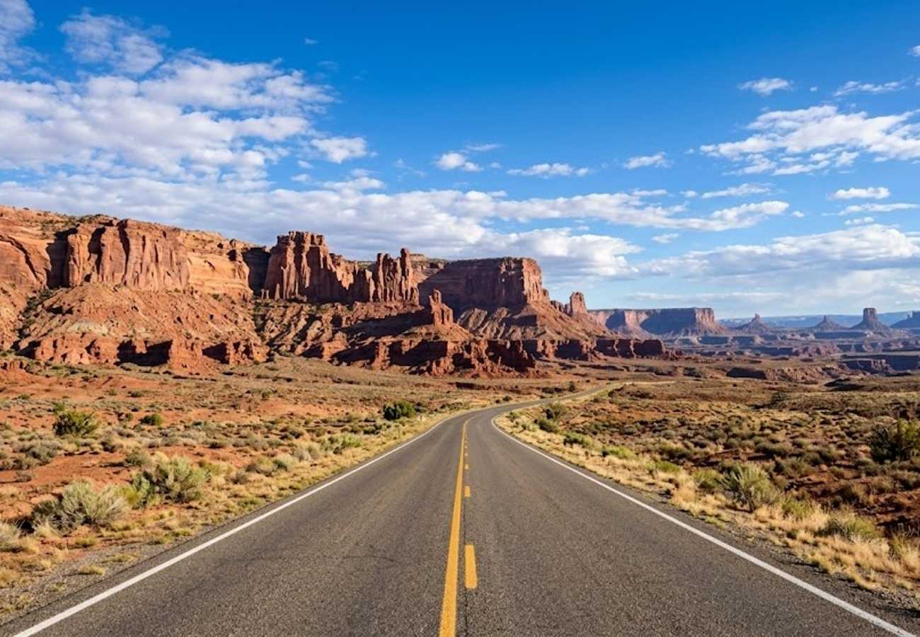
The undisputed heavyweight champion of American road trips, the Grand Circle encompasses the crown jewels of the Colorado Plateau. Beginning and ending in either Las Vegas, Phoenix, or Salt Lake City, this grand circuit connects Utah's "Mighty 5" national parks—Zion, Bryce Canyon, Capitol Reef, Canyonlands, and Arches—with Monument Valley and the Grand Canyon.
Clocking between 950 and 1,200 miles depending on your start point, the journey showcases an astonishing sequence of landscapes. You will hike through the narrow hanging gardens of Zion Canyon, gaze upon thousands of fairy-tale hoodoos in Bryce Canyon's natural amphitheater, drive past towering rock monoliths in Capitol Reef, and marvel at the 2,000 cataloged sandstone arches surrounding Moab.
To execute this route without burning out, allow a minimum of 10 to 14 days. Veteran road-trippers emphasize traveling during shoulder seasons (April–May or late September–October) to escape oppressive triple-digit summer heat. Furthermore, secure your Recreation.gov reservations for Zion shuttles, Angels Landing permits, and Arches timed-entry slots well before your departure date.
2. Sedona to Zion National Park via Oak Creek Canyon & Page
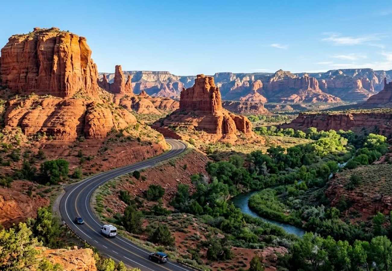
Connecting two of the most iconic red rock kingdoms in the world, this 330-mile journey begins in Sedona, climbs through the forested switchbacks of Oak Creek Canyon along Arizona Route 89A, crosses the high desert to Page, and enters Zion via the historic Zion-Mount Carmel Highway.
Between Flagstaff and the Utah border, the highway skirts the western edge of the Navajo Nation. Make an essential half-day stop in Page to walk out to the 1,000-foot rim of Horseshoe Bend and tour the swirling, beam-lit sandstone corridors of Upper or Lower Antelope Canyon (which must be booked in advance through licensed Navajo guides).
The grand finale occurs along Utah Route 9 as you approach Zion. The highway sweeps through checkerboard slickrock formations before plunging into the historic 1.1-mile Zion-Mount Carmel Tunnel, carved directly through sheer sandstone cliffs in 1930. Emerging on the western portal, you are greeted by staggering vertical views of the Zion Canyon floor below. Note that oversized RVs and travel trailers require a $15 tunnel escort permit from park rangers due to narrow interior clearance.
3. Grand Canyon North Rim to Bryce Canyon Alpine Plateau Circuit
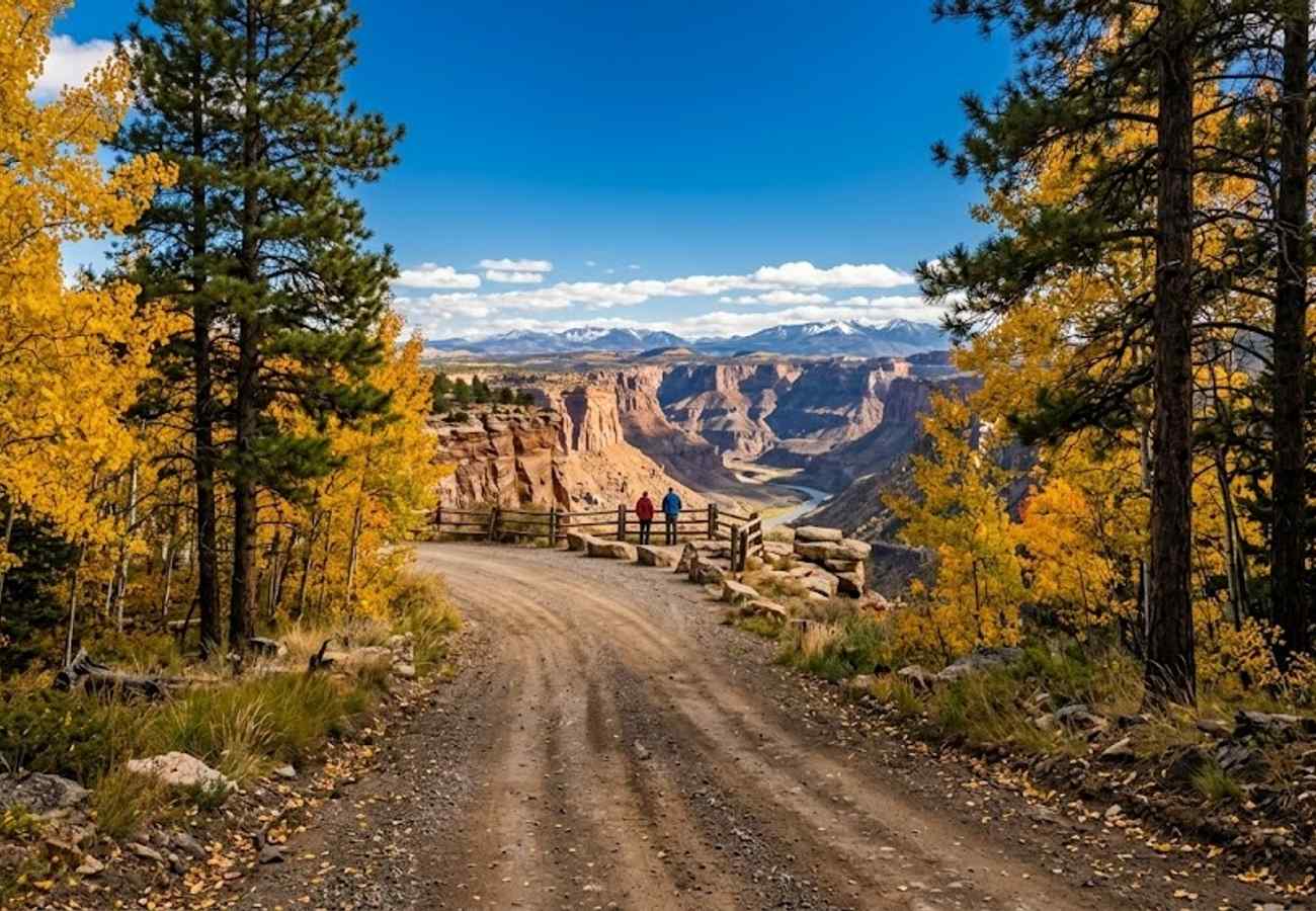
While over five million people crowd the Grand Canyon South Rim annually, only ten percent make the trek to the North Rim. Sitting at an average elevation of 8,200 feet—over 1,000 feet higher than its southern counterpart—the North Rim is cloaked in dense ponderosa pines, blue spruce, and trembling aspen groves that burst into vibrant gold each autumn.
Departing from Jacob Lake along Arizona Highway 67, the road meanders across the tranquil meadows of the Kaibab Plateau before terminating at the historic Grand Canyon Lodge, perched precipitously on the canyon's edge. From Bright Angel Point, you look down into the chasm across vast side canyons and ancient temple formations with a serenity impossible to find across the river.
From the North Rim, head north along US-89 through Kanab to Bryce Canyon National Park. Because both destinations sit above 8,000 feet, summer temperatures remain delightfully cool (highs in the upper 70s), making this the premier warm-weather Southwest road trip. Keep in mind that North Rim facilities operate seasonally, opening May 15 and transitioning to day-use in mid-October before winter snow closures.
4. Monument Valley & Valley of the Gods Desert Byway
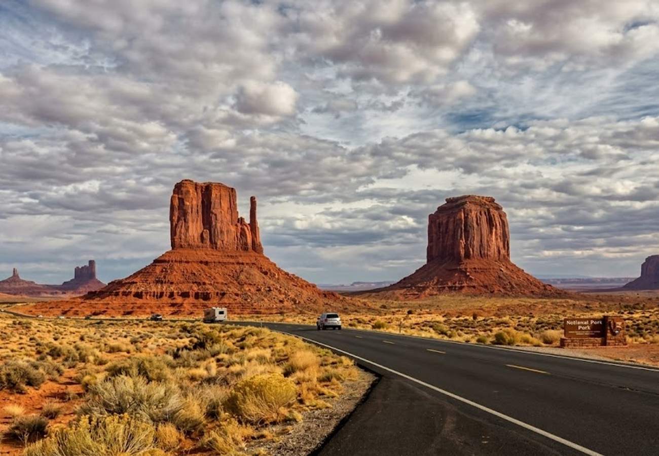
Immortalized in classic western films by director John Ford and John Wayne, the drive along US-163 toward the Arizona-Utah state line delivers what is arguably the most famous road-trip vista on earth. As you travel north from Kayenta, the long asphalt straightaway aims directly at the monumental silhouettes of the East and West Mitten Buttes rising 1,000 feet from the desert floor.
After touring the 17-mile unpaved tribal park loop within Monument Valley Navajo Tribal Park, cross into Utah and head for Mexican Hat. Here lies the turnoff for Valley of the Gods, a 17-mile graded dirt byway winding through isolated sandstone spires and towering castellated buttes. Often called "mini Monument Valley," this BLM public land allows free dispersed camping and sees a fraction of the commercial bus traffic.
The route reaches a climax at the Moki Dugway on Utah Route 261. This unpaved, three-mile cliffside road features four tight switchbacks carved directly into the face of Cedar Mesa, climbing 1,200 vertical feet at an 11% grade. From Muley Point at the summit, the entire Four Corners basin, the San Juan River goosenecks, and Monument Valley spread out across the horizon.
5. Utah Scenic Byway 12 & Capitol Reef (The All-American Road)
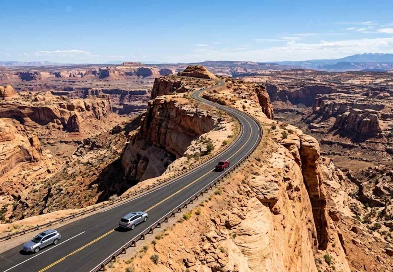
Designated an All-American Road, Utah Scenic Byway 12 spans 124 miles between Panguitch and Torrey, traversing some of the most remote and rugged terrain in the continental United States. The highway cuts directly through Grand Staircase-Escalante National Monument, bridging the gap between Bryce Canyon and Capitol Reef.
The undisputed highlight of the drive is The Hogback, a narrow two-mile stretch of two-lane blacktop engineered along a knife-edge sandstone ridge. With sheer 1,000-foot drop-offs falling away on both sides and zero guardrails, driving this section feels like piloting an aircraft across a slickrock moonscape.
East of the Hogback, the road climbs over 9,600-foot Boulder Mountain through vast aspen forests before descending into the oasis of Capitol Reef National Park. Stop in historic Fruita to stroll through historic Mormon pioneer orchards, pick seasonal peaches or cherries, and grab freshly baked fruit pies at the Gifford Homestead before exploring the towering petroglyph panels along Highway 24.
6. Vermilion Cliffs & Marble Canyon Scenic Byway (US Route 89A)
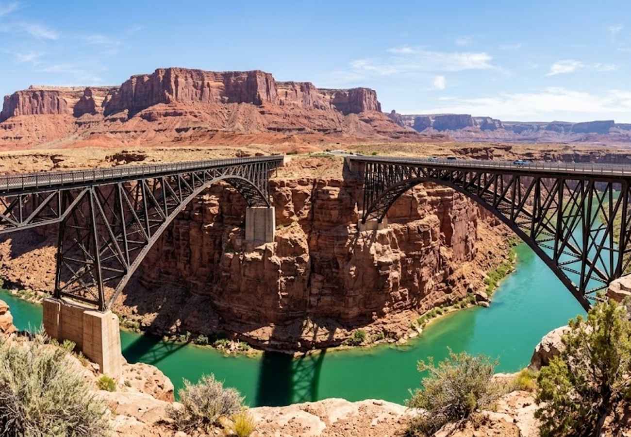
Branching west from Bitter Springs, Arizona Route 89A skirts the base of the colossal Vermilion Cliffs, which rise up to 3,000 feet in stepped red, pink, and ochre sandstone escarpments. This is wild, untamed desert country where the Colorado River enters the Grand Canyon gorge at Marble Canyon.
At Navajo Bridge, two parallel arch spans—one historic pedestrian, one modern vehicular—cross 467 feet above the rushing turquoise waters of the Colorado. Look closely under the steel girders: this is the premier release site for endangered California condors, and these majestic birds with nine-foot wingspans frequently roost on the bridge framework right beneath your feet.
Further west, House Rock Valley Road provides unpaved access to the trailhead for Wire Pass and Buckskin Gulch, recognized as the longest and deepest continuous slot canyon in the Southwest. If embarking on this hike, consult rangers at the Paria Contact Station regarding flash flood warnings, as rainstorms dozens of miles upstream can turn narrow slots into deadly torrents within minutes.
7. Tucson to Sedona via Apache Trail & Jerome (The Copper & Cactus Run)
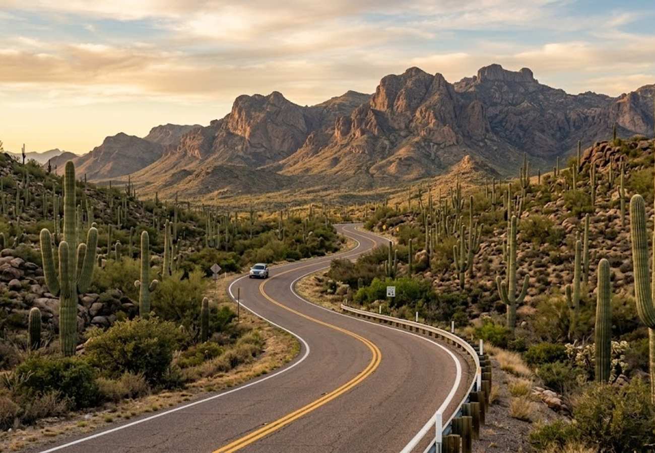
For travelers looking to explore Arizona’s diverse southern desert ecology before climbing toward the red rock country, this 260-mile route combines dense Sonoran cactus forests, historic stagecoach roads, and hilltop mining ghost towns.
Departing Tucson through Saguaro National Park, where iconic giant cacti stand like desert sentinels against the Rincon and Tucson mountains, head north toward Apache Junction. Here, the historic Apache Trail (Route 88) winds past the sheer volcanic walls of the Superstition Mountains and the blue waters of Canyon Lake and Apache Lake.
After continuing north through Prescott, the highway tackles the winding hairpins of Mingus Mountain before spilling into Jerome, a 19th-century copper mining boomtown clinging precariously to the steep slopes of Cleopatra Hill. Now an eclectic artist enclave filled with historic saloons and galleries, Jerome provides panoramic views looking across the Verde Valley toward the distant red cliffs of Sedona.
8. Moab to Monument Valley via Canyonlands Needles & Bears Ears
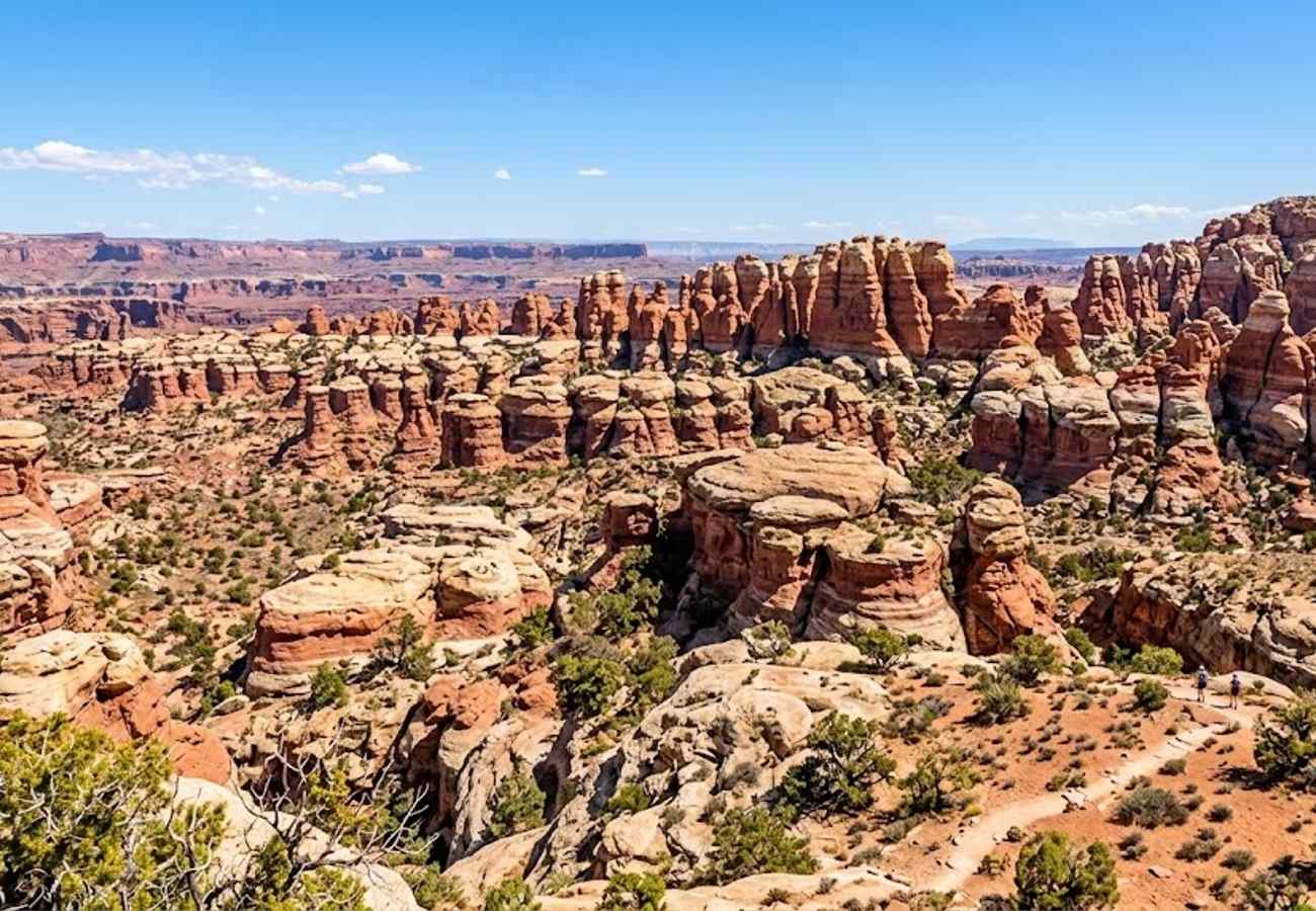
While the Island in the Sky district of Canyonlands gets heavy visitor traffic due to its proximity to Moab, driving south along US-191 opens the gateway to the remote and mystical Needles District. Turning onto Utah Route 211, the pavement cuts across sweeping grasslands bordered by Wingate sandstone cliffs.
Along Route 211, pull over at Newspaper Rock State Historic Monument, one of the finest collections of ancient petroglyphs in the world. Carved into desert varnish over 2,000 years by Archaic, Ancestral Puebloan, Fremont, and Navajo peoples, hundreds of distinct animal figures, hunters, and enigmatic symbols cover the massive rock face.
Inside the Needles, the road culminates at turnouts overlooking thousands of Cedar Mesa sandstone spires banded in alternating crimson and white stripes. Heading south toward Blanding and Bluff, you enter Bears Ears National Monument, where solitary cedar mesas and deep box canyons preserve ancient cliff dwellings far removed from the tourist bus circuits.
9. Zion to Las Vegas via Valley of Fire & Lake Mead
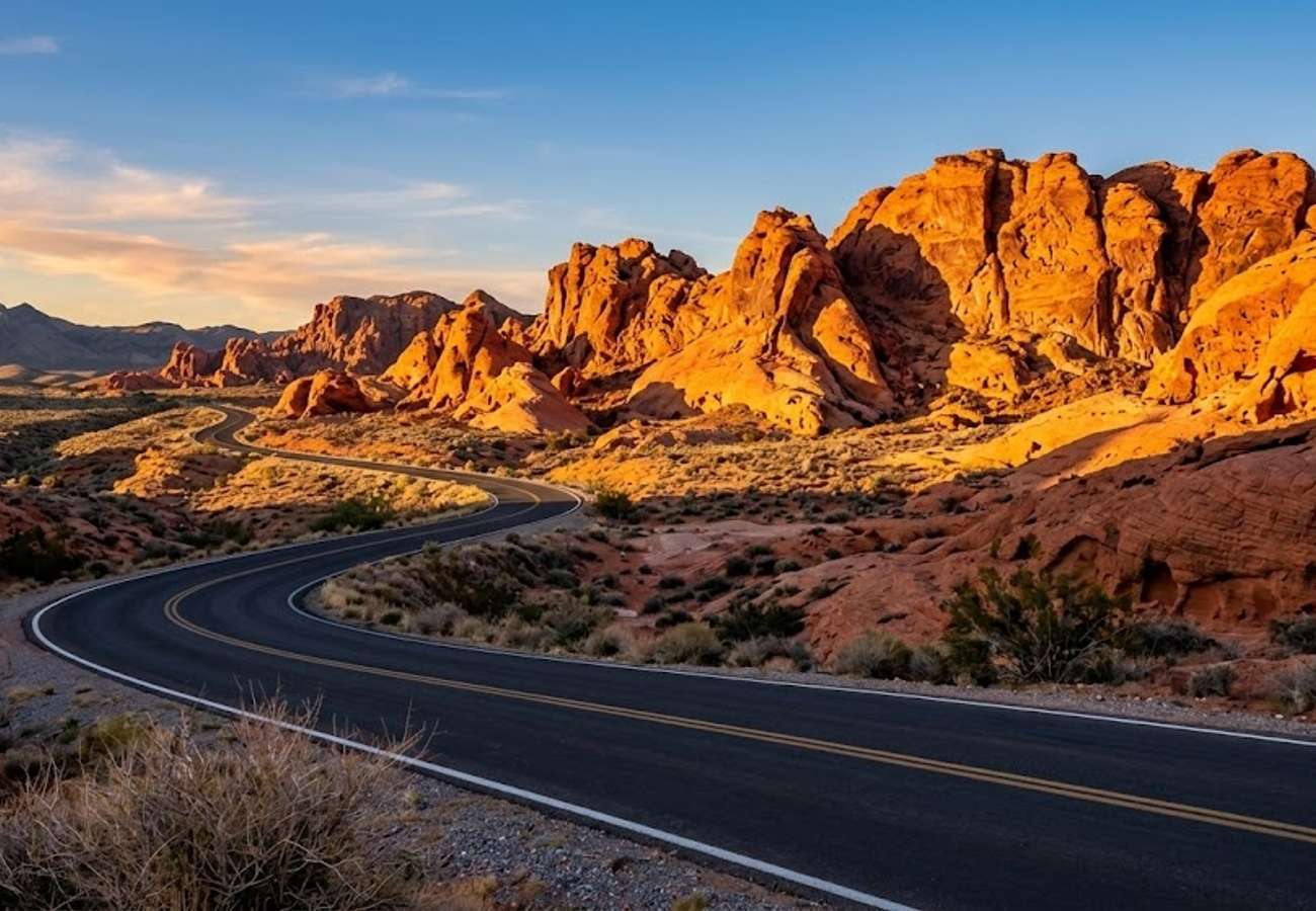
Connecting the towering sandstone cliffs of Zion with the neon glow of the Las Vegas Strip, this 170-mile route offers an ideal transition from national park wilderness to desert basin beauty. After departing Springdale, make a short detour outside St. George to explore Snow Canyon State Park, where ancient black basalt lava flows snake across bright red Navajo sandstone dunes.
Crossing the Nevada state line along Interstate 15, veer south onto the Valley of Fire Highway. As Nevada’s oldest and largest state park, Valley of Fire features 40,000 acres of fiery red Aztec sandstone that appears to ignite when struck by the late afternoon sun.
Drive the scenic park road past Elephant Rock, the pastel pink swirls of the Fire Wave, and the ancient petroglyph panels at Atlatl Rock. From Valley of Fire, take the Northshore Road through Lake Mead National Recreation Area, following the quiet desert shoreline directly toward Las Vegas without touching the interstate until the outskirts of town.
10. The Arizona Strip & Toroweap Overlook (The Wild Rim)
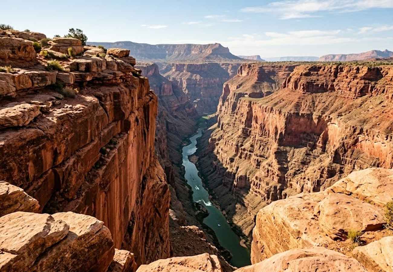
For self-reliant drivers equipped with proper machinery, the trek across the Arizona Strip to Toroweap (Tuweep) Overlook is the most raw and unforgettable Grand Canyon experience in existence. The Arizona Strip is an isolated expanse of desert tableland cut off from the rest of the state by the Grand Canyon gorge itself.
Reaching Toroweap requires driving 60 miles of unpaved, washboard dirt roads starting from St. George, Utah, or Fredonia, Arizona. The final three miles traverse slickrock ledges and deep sand where genuine high-clearance four-wheel-drive with low range is strictly mandatory; passenger sedans and standard all-wheel-drive crossovers routinely damage oil pans and become stranded.
At the terminus, there are no handrails, gift shops, or paved plazas. You walk straight to the lip of a sheer, vertical 3,000-foot limestone and sandstone precipice. Directly below your boots, the emerald Colorado River roars through Lava Falls Rapid, and the sound of crashing whitewater echoes up the canyon walls in total, windswept isolation. Advanced day-use permits must be reserved through Recreation.gov.
Practical Advice for Driving Arizona and Utah in 2026
- Respect Flash Flood Season: During the Southwest monsoon (July through September), afternoon thunderstorms can dump torrential rains miles away from where you are hiking. Never drive across flooded washes, and check daily flash flood potential ratings at National Park Service visitor centers before entering slot canyons like the Narrows or Buckskin Gulch.
- Carry Ample Water and Emergency Supplies: High-desert aridity dehydrates travelers rapidly. Always carry a minimum of one gallon of drinking water per person per day in your vehicle, along with electrolyte packets, tire plug kits, and a portable 12V air compressor.
- Master the Recreation.gov Permit System: In 2026, popular attractions require competitive reservations. Angels Landing hikes in Zion, timed-entry vehicle permits at Arches, and vehicle permits for Toroweap and the Wave all require booking months in advance or participating in daily lotteries.
- Beware of Elevation and Temperature Extremes: Southwest elevations range from 2,000 feet in desert valleys to nearly 10,000 feet atop Cedar Breaks and Boulder Mountain. Pack versatile layers, as early morning temperatures in high plateaus frequently dip below freezing even during summer months.
- Protect the Cryptobiotic Soil: When pulling off roads or exploring desert trails, never walk or drive on dark, crusty cryptobiotic soil. This fragile living crust of cyanobacteria and mosses takes decades to regenerate and prevents catastrophic desert wind erosion.
Frequently Asked Questions
What is the best month to do an Arizona and Utah road trip?
April, May, September, and October provide the finest road-tripping conditions across the Southwest. Temperatures are pleasant for daytime hiking (65°F to 80°F), high-altitude mountain passes are clear of snow, and seasonal services are fully operational.
How many days do I need for a road trip through Arizona and Utah?
To experience both the Grand Canyon in Arizona and Utah’s Mighty 5 without rushing, budget at least 10 to 14 days. If you only have 5 to 7 days, focus on a concentrated circuit like Sedona to Zion via Page or a loop connecting Bryce Canyon, Capitol Reef, and Moab.
Can I drive an ordinary rental sedan on these scenic routes?
Most premier routes—including the Grand Circle, Scenic Byway 12, Route 89A, and Valley of Fire—are completely paved and suitable for any vehicle. However, backcountry roads like the Valley of the Gods, Cottonwood Canyon Road, and the route to Toroweap Overlook require high-clearance all-wheel-drive or true 4WD.
Do I need an America the Beautiful National Parks Pass?
Yes. If visiting three or more national parks or federal monuments (such as Grand Canyon, Zion, Bryce, and Glen Canyon), purchasing an $80 annual America the Beautiful Pass at your first entrance gate saves substantial money compared to individual $30–$35 per-park vehicle fees.
From the silent depths of sun-baked slot canyons to vertigo-inducing rims where ancient rivers roar through the stone, the highways connecting Arizona and Utah prove that the Southwest is not merely a destination, but a transformative journey.
Related Travel Guides
Disclaimer
This article is for informational and educational purposes only. It does not constitute legal, financial, or professional advice. While we strive to provide accurate and up-to-date information, travel policies, regulations, and conditions change rapidly. Always verify information with official sources before making travel decisions. Nomad Lawyer makes no representations about the accuracy, reliability, completeness, or suitability of the information provided. Readers should consult qualified professionals for advice specific to their circumstances. The views expressed in this article are those of the author and do not necessarily reflect the views of Nomad Lawyer.
Raushan Kumar
Founder & Lead Developer
Full-stack developer with 11+ years of experience and a passionate traveller. Raushan built Nomad Lawyer from the ground up with a vision to create the best travel and law experience on the web.
Learn more about our team →