
US Severe Weather Alert 2026: Montana, Ohio, and Indiana Brace for Destructive Thunderstorms and Flooding
A massive heat dome is triggering a violent thunderstorm siege across the US Midwest, Great Lakes, and East Coast, with destructive winds and flash flooding expected through Tuesday.

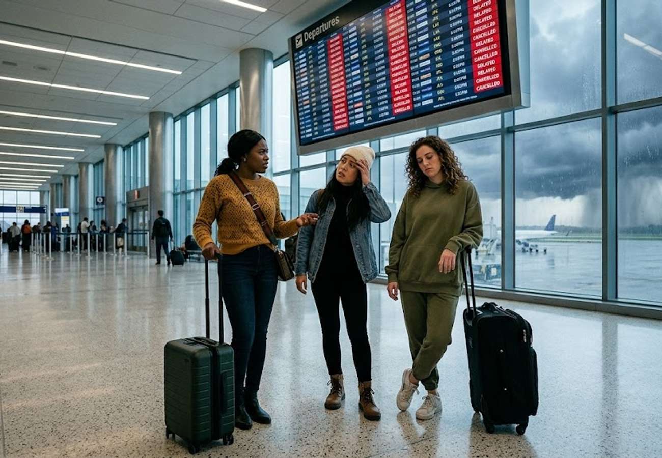
Image generated by AI
Severe weather systems fueled by a massive summer heat dome are set to trigger a violent thunderstorm siege across the US, with destructive winds, flash flooding, and hail forecast from the Northern Plains to the Mid-Atlantic through Tuesday.
The United States is currently entering a volatile atmospheric period where extreme heat and unstable conditions are converging. This weather pattern, characterized by a high-pressure "heat dome" trapping hot air over the central US, is creating a collision point for cooler northern air and moisture-rich southern air. The resulting instability is expected to produce organized storm clusters capable of causing widespread transport disruptions and infrastructure damage.
Regional Weather Progression and Risk Timeline
The storm system is moving eastwards in phases, escalating in intensity as it interacts with the heat dome's boundary.
| Date | Primary Regions Affected | Key Hazards | Peak Wind Risks |
|---|---|---|---|
| Saturday | Eastern Montana, South Dakota, Upper Midwest | Isolated severe storms, large hail, lightning | Exceeding 65 mph |
| Sunday | Eastern Minnesota, Northern Wisconsin, Great Lakes | Organized storm complexes, straight-line winds, flash flooding | Approaching 85 mph |
| Monday | Ohio Valley, Great Lakes | Damaging winds, urban flash flooding, power outages | High (Tree/Power line risk) |
| Tuesday | Mid-Atlantic, Northeast (Raleigh to NYC) | Torrential rain, large hail, I-95 corridor delays | High (Aviation/Road risk) |
Infrastructure and Transit Impact Assessment
The timing of this outbreak coincides with the peak summer holiday season, placing significant pressure on the US transportation network.
Aviation and Air Travel Major aviation hubs across the Great Lakes and the Northeast are expected to face operational challenges. Lightning and strong crosswinds typically trigger ground stops and flight delays. Travelers should expect cascading delays as storms move through the Mid-Atlantic on Tuesday.
Ground Logistics and Roadways The Interstate 95 corridor, one of the most heavily trafficked routes in North America, is identified as a high-risk zone for Tuesday. Heavy rainfall and standing water are likely to reduce visibility and slow transit speeds significantly. In the Midwest, the risk of fallen trees and power lines crossing roadways may lead to temporary closures of secondary highways.
Urban Drainage and Power In the Ohio Valley and Great Lakes regions, the intensity of rainfall is expected to overwhelm municipal drainage systems, leading to localized flash flooding in urban centers. Power interruptions are likely as straight-line winds up to 85 mph impact electrical grids.
Traveler Logistics Guide: Navigating the Storm Siege
From a ground-level perspective, the best way to navigate this weather window is to prioritize flexibility over strict itineraries.
Booking and Connections If you have a layover in the Midwest or Northeast between Saturday and Tuesday, allow for a minimum of 4-6 hours between flights. Short connections are highly susceptible to failure during these atmospheric events. Use airline apps to monitor "real-time" aircraft tracking rather than relying solely on airport departure boards.
Road Trip Safety For those traversing the I-95 corridor or Midwest highways:
- Avoid Low-Lying Areas: Flash flooding can occur in seconds. Never attempt to drive through standing water, as roadbeds may be washed away.
- Wind Awareness: High-profile vehicles (RVs, campers, large trucks) are particularly vulnerable to the 65-85 mph gusts forecast for this region.
- Fuel and Power: Keep mobile devices fully charged and maintain a full tank of fuel, as power outages can disable gas pumps in rural areas.
Digital Alerts Travelers should enable "Wireless Emergency Alerts" (WEA) on their smartphones to receive immediate NOAA (National Oceanic and Atmospheric Administration) warnings for tornadoes or severe flash flooding.
Stay vigilant and monitor local meteorological updates as storm cells evolve rapidly.
Related Travel Guides
Disclaimer
This article is for informational and educational purposes only. It does not constitute legal, financial, or professional advice. While we strive to provide accurate and up-to-date information, travel policies, regulations, and conditions change rapidly. Always verify information with official sources before making travel decisions. Nomad Lawyer makes no representations about the accuracy, reliability, completeness, or suitability of the information provided. Readers should consult qualified professionals for advice specific to their circumstances. The views expressed in this article are those of the author and do not necessarily reflect the views of Nomad Lawyer.
Raushan Kumar
Founder & Lead Developer
Full-stack developer with 11+ years of experience and a passionate traveller. Raushan built Nomad Lawyer from the ground up with a vision to create the best travel and law experience on the web.
Learn more about our team →