
National Weather Service Issues Urgent Dense Fog Advisories Across Tennessee Virginia and Kentucky Disrupting Interstate Highways and Regional Flights
National Weather Service issues dense fog advisories reducing visibility below a quarter mile across I-40, I-81, I-75, and I-64, stalling transit in Tennessee, Virginia, and Kentucky.

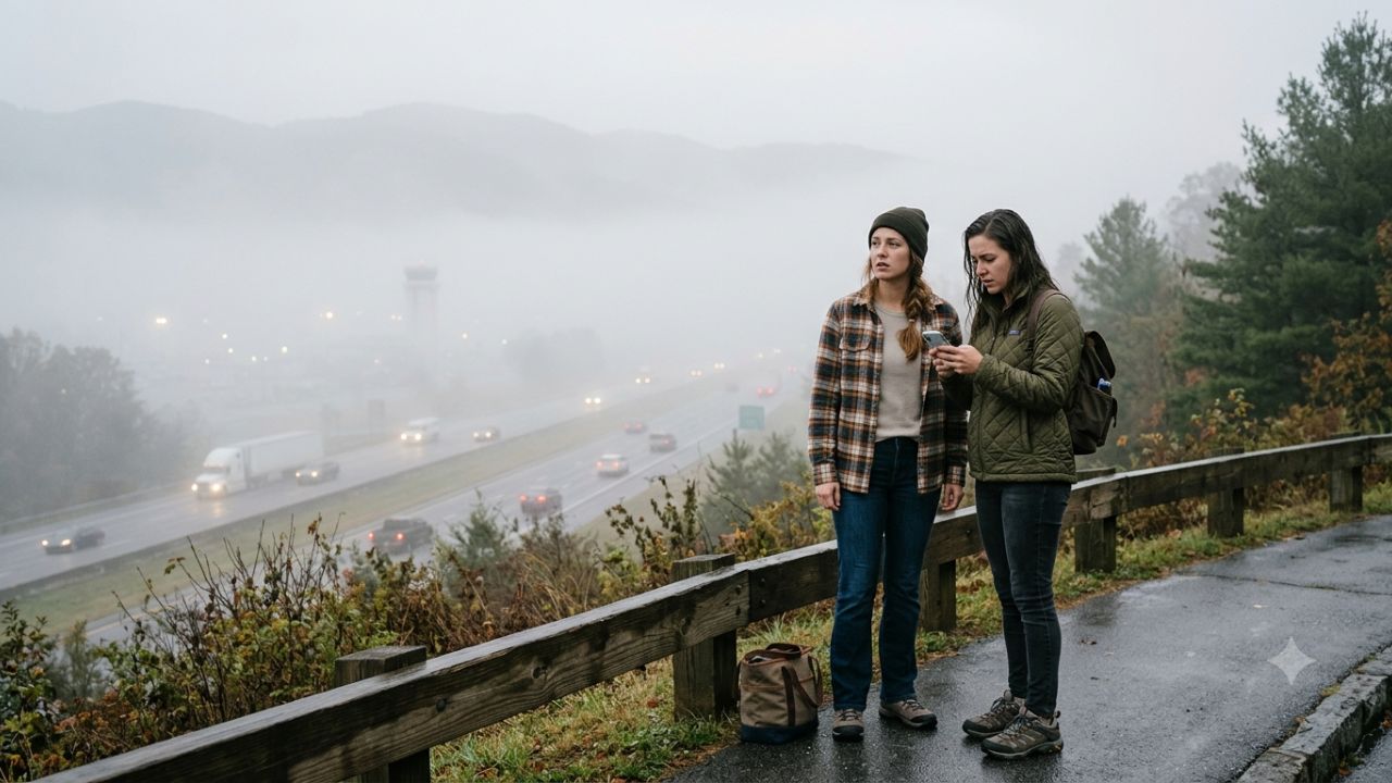
Image generated by AI
The National Weather Service has issued urgent dense fog advisories across the Tennessee Valley, Kentucky, Virginia, and Ohio, causing widespread morning transit disruptions on major interstate highways and regional air corridors.
Heavy rainfall over preceding days combined with rapid nighttime cooling generated a thick surface moisture reservoir across central river basins and the Appalachian foothills. Atmospheric visibility has dropped below a quarter of a mile along major transport corridors, creating hazardous driving conditions intensified by heavy early morning traffic following overnight college football games.
National Weather Service Dense Fog Warnings Cripple Southeastern Interstate Routes
State transportation departments confirm severe visibility reductions and localized speed drops of up to 20 miles per hour across critical interstate networks. The atmospheric disruption primarily impacts low-lying river valley corridors and mountain passes along Interstate 40, Interstate 81, Interstate 75, and Interstate 64.
Transportation agencies emphasize that localized fog banks appear rapidly without visual warning, drastically extending stopping distances for vehicles traveling at standard highway speeds. High ground moisture retention remains prevalent across river basins, prompting state highway patrols to station emergency response units along high-risk junctions to manage traffic slowdowns and collision risks.
Interstate Corridor and Transportation Agency Directive Specifications
State transportation authorities across Tennessee, Virginia, and Kentucky have enacted specific operational directives for motorists navigating affected interstate routes:
| Transportation Agency | Affected Primary Routes | Regional Risk Profile | Mandatory Operational Directive |
|---|---|---|---|
| Tennessee Dept. of Transportation (TDOT) | I-40, I-81, I-75 | River valley corridors, high post-game traffic | Reduce driving speeds; avoid sudden braking; monitor TN511 |
| Virginia Dept. of Transportation (VDOT) | I-81, Southwest Corridors | Zero-visibility mountain passes, Appalachian ridges | Execute complete roadside pull-offs clear of active lanes if zero-visibility occurs |
| Kentucky Transportation Cabinet (KYTC) | I-64, Central River Basins | Dense low-lying river fog banks | Deactivate automated cruise control; double vehicle following gaps |
| Ohio Valley Regional Transit Authorities | Regional Airport Approach Networks | Surface visual range below certified ILS minimums | Institute temporary ground holds for early morning flights |
Aviation Operations and Ground Holding Protocols
Commercial air travel across regional airfields faced localized delays and Instrument Landing System (ILS) ground holds. Facilities such as Tri-Cities Regional Airport and surrounding airfields across the wider Ohio Valley network experienced temporary operational holds when surface visual range fell below certified aviation safety thresholds.
Under Federal Aviation Administration (FAA) regulations, incoming flights must hold or divert when surface visibility drops below Instrument Landing System minimums. Departing aircraft were subject to ground delays while waiting for low ceiling fog layers to lift. Operational conditions normalized by mid-morning as ambient surface temperatures increased, burning off the low-level moisture layer.
Mandatory Vehicle Driving Standards During Zero-Visibility Fog
State traffic safety officials urge motorists operating within advisory zones to observe strict highway safety protocols:
-
Lighting System Management
- Low-Beam Engagement Only: Drivers must switch off high-beam headlights. High beams reflect off suspended atmospheric water droplets, causing extreme driver glare.
- Dedicated Fog Lamps: Engage specialized low-mounted fog lamps alongside low-beam headlights to ensure rear taillights remain illuminated for trailing traffic.
-
Automated System Restrictions and Following Gaps
- Cruise Control Deactivation: Motorists must manually control vehicle speed. Automated cruise control systems cannot detect rapid changes in atmospheric visibility.
- Doubled Following Distance: Increase space between moving vehicles to at least twice the standard interval to prevent multi-car chain-reaction collisions.
-
Zero-Visibility Emergency Pull-Off Procedure
- Clear Travel Lanes: If visibility drops to zero, pull the vehicle entirely off the active roadway onto designated rest areas or wide shoulders.
- Illumination Cut-Off: Once safely parked, set the parking brake and activate hazard flashers. Drivers must turn off main headlights and release foot brakes so trailing vehicles do not misinterpret parked cars as active traffic.
Traveler Logistics Guide: Real-Time Tracking and National Park Itineraries
Travelers navigating affected regions in Tennessee, Virginia, and Kentucky can manage disruptions using real-time state tracking tools and adjusted travel schedules:
-
State 511 Real-Time Roadway Monitoring
- Tennessee Commuters: Access live highway camera streams and visibility alerts through the official TN511 platform.
- Virginia Commuters: Check real-time traffic condition updates via the 511Virginia system.
- Kentucky Commuters: Monitor route hazards and river valley camera feeds using the GoKY travel portal or dial 511 from mobile devices.
-
Airport Terminal Transit Planning
- Status Verification: Check flight schedules directly via airline mobile applications before departing hotel or residential facilities.
- Buffer Allocation: Allow at least 45 to 60 minutes of additional ground driving time to reach regional airport terminals like Tri-Cities Regional Airport due to reduced highway speeds.
-
Appalachian Outdoor Tourism Adjustments
- Great Smoky Mountains & Cumberland Gap: Reschedule morning scenic drives along high-elevation overlooks until mid-morning when fog burns off. Park rangers report zero visual range along mountain scenic byways during early hours.
- Hiking Trail Safety: Postpone mountain trail hikes in the Shenandoah and Smoky Mountain regions until late morning. Condensed atmospheric moisture creates slick rock surfaces and reduces trail orientation.
Regional Visibility Recovery Assessment
Meteorological evaluations indicate that dense fog layers disperse rapidly as solar heating raises surface temperatures past mid-morning. Transportation infrastructure—including interstate highways, mountain scenic routes, and regional airfields—resumes normal operating capacity without long-term structural impact once atmospheric moisture clears.
Related Travel Guides
The 10 Best Scenic Drives in the Great Smoky Mountains, According To Reddit
Disclaimer
This article is for informational and educational purposes only. It does not constitute legal, financial, or professional advice. While we strive to provide accurate and up-to-date information, travel policies, regulations, and conditions change rapidly. Always verify information with official sources before making travel decisions. Nomad Lawyer makes no representations about the accuracy, reliability, completeness, or suitability of the information provided. Readers should consult qualified professionals for advice specific to their circumstances. The views expressed in this article are those of the author and do not necessarily reflect the views of Nomad Lawyer.
Kunal K Choudhary
Co-Founder & Contributor
A passionate traveller and tech enthusiast. Kunal contributes to the vision and growth of Nomad Lawyer, bringing fresh perspectives and driving the community forward.
Learn more about our team →