
Severe Thunderstorms Trigger Massive Flight Cancellations at New York, Boston, and Philadelphia Hubs in 2026
Severe thunderstorms across the Northeast corridor are causing widespread flight delays and cancellations at major hubs including JFK, Newark, and Logan airports.
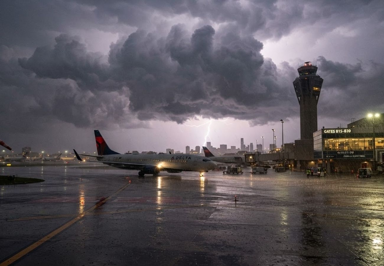
Image generated by AI
Thousands of passengers are facing travel chaos as a violent storm system sweeps through the Northeast corridor, triggering a surge of cancellations and multi-hour delays across New York, Boston, and Philadelphia hubs on September 1 and 2, 2026.
The timing of the weather system is particularly disruptive, intersecting with the high-demand Labor Day travel window. As convective cells move across the Mid-Atlantic and New England, air traffic controllers are forced to implement strict metering and ground stops to ensure safety, creating a ripple effect that is currently straining the national aviation network.
New York Metro Area Airports Face Severe Operational Bottlenecks
Flight tracking data indicates that New York City’s three primary aviation gateways are among the most severely impacted facilities in the United States. The storm system has repeatedly tracked across the metro area, impacting both short-haul domestic flights and long-haul transatlantic operations.
At John F. Kennedy International Airport (JFK), federal aviation authorities have implemented a traffic management program for arrivals. This measure is designed to meter the flow of inbound aircraft to prevent airspace congestion during active thunderstorm cells.
The situation is more acute at Newark Liberty International, where reports show average departure delays of approximately 1 hour and 40 minutes. Arrival delays are even more significant, ranging from 1 hour and 45 minutes to two hours, with trends indicating further increases during the overnight transition from September 1 to September 2.
LaGuardia Airport, which possesses limited operational flexibility to absorb sudden shocks, is also struggling. Federal reports link average departure waits of about 45 minutes directly to the regional thunderstorm activity. Because these three airports operate in such close proximity, simultaneous disruptions often lead to aircraft and crew members being stranded or rerouted, causing delays to cascade across the entire U.S. flight network.
Industry data suggests that regional carriers operating under major airline banners, as well as New York-based mainline operators, are reporting the highest volume of cancellations. This follows a volatile summer season where recurring storm patterns have frequently forced schedule reductions across the region.
Disruptions Spread to Boston Logan and Philadelphia International
As the storm complex migrates northeast, Boston Logan International and Philadelphia International are recording significant operational interruptions. The current volatility echoes a previous weather event on August 27, when a thunderstorm outbreak in Philadelphia resulted in 645 disrupted flights—comprising 391 delays and 254 cancellations by 9:00 p.m. following a mandatory ground stop. Current reports suggest a similar pattern of spaced arrivals and departures is now in effect to maintain safety margins.
In Boston, the current system is tracking over the same air routes that caused hundreds of cancellations in late July. Heavy rain and convective cells are currently intersecting key arrival and departure paths, triggering initial delay programs at Logan and other New England regional airports.
The systemic nature of these disruptions is compounded by the shared pool of aircraft and flight crews. When multiple hubs in the Northeast corridor fail simultaneously, airlines struggle to reposition assets. Recovery often extends beyond the duration of the weather event, as maintenance windows must be rescheduled and crews must be flown back into position.
Meteorological Forecast Predicts Continued Volatility
National meteorological agencies issued guidance on September 1 warning of continued risks across the eastern United States through at least Wednesday. The forecast highlights several high-risk elements:
- Damaging Wind Gusts: High-velocity winds that can make take-offs and landings hazardous.
- Heavy Precipitation: Pockets of intense rain reducing visibility.
- Isolated Severe Activity: Potential for hail and tornado activity in the interior Northeast.
These conditions force air traffic controllers to adopt conservative spacing. Because jet routes feeding New York, Boston, and Philadelphia converge in a narrow geographic corridor, even a small, intense storm cell can create a massive bottleneck. Pilots must frequently reroute around convective weather, which lengthens flight paths, increases fuel consumption, and exhausts available airspace capacity.
Airline Response and Weather Waiver Implementation
In response to the chaos, several major carriers have activated weather waivers for passengers traveling to and from the Northeast. These waivers are designed to mitigate the impact on travelers by allowing them to change their flight dates within a specific window—usually several days before or after the disruption—without incurring additional change fees.
Reports from traveler forums and airline advisories indicate that some of these waivers cover a period from late August through the first few days of September. This suggests that airlines anticipate "knock-on" effects, where the initial weather event causes a backlog of displaced passengers and aircraft that takes days to resolve.
For travelers with non-flexible commitments, such as international connections or scheduled cruises, the risk remains high. The combination of peak-season seat scarcity and strict crew duty-time limits makes same-day rebooking exceptionally difficult, particularly for those at smaller regional airports that rely on a few daily flights into the major hubs.
Recovery Timeline and Passenger Guidance
Historical operational data suggests a slow recovery for the region. During a similar event in late July, LaGuardia alone reported over 500 cancellations in a single day, with significant secondary delays at JFK and Newark. In that instance, schedules did not return to normal for several days.
Passengers are advised to monitor their airline apps closely over the next 24 to 48 hours. Even as the storms clear, residual delays are expected as airlines work through the backlog of displaced passengers and crews reach their legal flying limits.
| Airport | Avg. Departure Delay | Avg. Arrival Delay | Status |
|---|---|---|---|
| Newark Liberty (EWR) | 1h 40m | 1h 45m - 2h | Active Delays |
| LaGuardia (LGA) | 45m | Variable | Active Delays |
| JFK International | Metered | Metered | Traffic Mgmt Program |
| Philadelphia (PHL) | Variable | Variable | Spaced Traffic |
| Boston Logan (BOS) | Variable | Variable | Initial Delay Programs |
Why This Matters: The Traveler's Perspective
For the modern traveler, this situation highlights the extreme vulnerability of the "Northeast Corridor" (DC-PHL-NYC-BOS). Because these cities are so tightly linked by air traffic, a single storm system doesn't just delay one city—it can paralyze the entire East Coast.
From a logistical standpoint, the "weather waiver" is the most critical tool for a passenger. Rather than waiting in a four-hour line at a customer service desk during a ground stop, passengers should proactively move their flights via the app the moment a waiver is announced. Furthermore, this event underscores the risk of "hub-and-spoke" travel during late summer; a delay in New York can lead to a missed connection in a completely different state, leaving the passenger stranded without hotel vouchers in an already crowded holiday weekend.
Travelers are urged to prioritize nonstop flights and allow a minimum of six hours for connections during this volatile period.
Related Travel Guides
Disclaimer
This article is for informational and educational purposes only. It does not constitute legal, financial, or professional advice. While we strive to provide accurate and up-to-date information, travel policies, regulations, and conditions change rapidly. Always verify information with official sources before making travel decisions. Nomad Lawyer makes no representations about the accuracy, reliability, completeness, or suitability of the information provided. Readers should consult qualified professionals for advice specific to their circumstances. The views expressed in this article are those of the author and do not necessarily reflect the views of Nomad Lawyer.