
Severe Storms and Flood Watch Disrupt New York City and Tri-State Area Travel in August 2026
Torrential rain and severe thunderstorms trigger widespread flood watches across the NYC metro area, causing significant transit delays and airport disruptions.

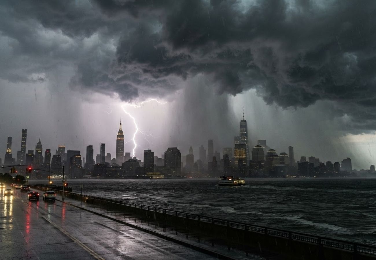
Image generated by AI
Heavy rainfall rates of 1.5 to 2.5 inches per hour are threatening the New York City metro area, with flood watches in effect through late evening on August 27, 2026.
The National Weather Service has placed New York City, northeast New Jersey, the lower Hudson Valley, and parts of Long Island under a flood watch starting midday and extending through late evening. This weather event coincides with peak late-summer travel, creating a high-risk environment for commuters and tourists navigating the I-95 corridor.
The Shift Toward High-Intensity Urban Storms
The current weather pattern is characterized by "training" storms—a phenomenon where multiple thunderstorm cells track over the same geographic area in rapid succession. This setup, fueled by abundant moisture and an approaching disturbance over the Mid-Atlantic and Northeast, significantly increases the risk of localized flash flooding.
Forecasts indicate that while general storm totals for the New York City and New Jersey metro area are expected to reach 1 to 2 inches, certain localized pockets could see up to 3 inches of rain. The intensity of these cells, with rainfall rates potentially hitting 2.5 inches per hour, poses a direct threat to the city's drainage infrastructure.
New York City Emergency Management has identified the most active window for these disruptions between 11 a.m. and 7 p.m., with the official flood watch remaining in place from noon until 11 p.m.
Severe Weather Risks Beyond Flooding
While flooding is the primary concern, the Storm Prediction Center has flagged a marginal risk (Level 1 of 5) for severe thunderstorms across the city, Nassau County, and southwest Connecticut. A higher "slight risk" persists west of the immediate metro area.
The severe thunderstorm watch, active until 8 p.m. Eastern time, warns of:
- Damaging wind gusts
- Large hail
- Isolated tornado activity in the strongest cells
These storms are organizing into lines or clusters as they move from Pennsylvania and New Jersey toward the coast, creating rapidly changing conditions for those on the road or in the air.
Impact on Regional Infrastructure and Transit
The Tri-State transportation network is particularly vulnerable to these cloudbursts. Drawing from historical data from 2021 and 2023, regional hazard mitigation reports show that intense rainfall can quickly overwhelm subway operations and major parkways.
Transportation Vulnerabilities
| Transit Sector | Potential Impact | High-Risk Areas |
|---|---|---|
| Roadways | Multi-lane slowdowns, impassable underpasses | NJ Turnpike, Garden State Parkway, River Crossings |
| Air Travel | Ground stops, runway delays, holding patterns | JFK, LaGuardia, Newark Liberty International |
| Public Transit | Subway disruptions, bus route diversions | Low-lying stations and flood-prone blocks |
| Maritime | Rough seas, hazardous navigation | New York Harbor and coastal waters |
For air travelers, the presence of thunderstorms near major hubs often necessitates rerouting, making it essential to monitor flight statuses in real-time.
Visitor Insider Tips: Navigating the NYC Storm
For those visiting the city or using it as a transit hub, the experience of a "flood watch" can be daunting. However, the impact is often hyper-local.
- Avoid the "Bottlenecks": If you are traveling by car, avoid low-lying underpasses and highway ramps near tidal waterways, as these are the first to become impassable.
- Subway Strategy: During torrential rain, avoid the deepest stations if you notice water accumulation on the street level above; seek higher ground or wait out the peak cell (usually 30-60 minutes) in a secure indoor location.
- The "Training" Warning: If you are staying near small creeks or coastal inlets, be aware that rain may seem to stop and then suddenly intensify as the next "cell" arrives.
- Event Planning: For those with tickets to Broadway shows or sporting events, allow an additional 60 to 90 minutes for travel. Surface transit (buses and ride-shares) slows down significantly during these windows.
Community and Environmental Context
This pattern of intense, localized rainfall is increasingly common in the Northeast. Local conservation bodies and city planners are focusing on "sponge city" initiatives to manage these surges. Visitors can support local sustainability by utilizing public transit where possible—once safe—and adhering to city guidelines to keep storm drains clear of litter, which prevents unnecessary street flooding.
Tourism Outlook
The immediate forecast suggests rain chances will diminish overnight into Friday, though some lingering showers may persist north and east of the city. Long-term, the region continues to adapt its infrastructure to handle these high-intensity summer events, ensuring that the city remains resilient despite the increasing frequency of severe weather.
Stay alert, monitor the National Weather Service, and prioritize safety over schedules.
Related Travel Guides
Disclaimer
This article is for informational and educational purposes only. It does not constitute legal, financial, or professional advice. While we strive to provide accurate and up-to-date information, travel policies, regulations, and conditions change rapidly. Always verify information with official sources before making travel decisions. Nomad Lawyer makes no representations about the accuracy, reliability, completeness, or suitability of the information provided. Readers should consult qualified professionals for advice specific to their circumstances. The views expressed in this article are those of the author and do not necessarily reflect the views of Nomad Lawyer.
Preeti Gunjan
Contributor & Community Manager
A passionate traveller and community builder. Preeti helps grow the Nomad Lawyer community, fostering engagement and bringing the reader experience to life.
Learn more about our team →