
Severe Flash Flood Warnings for Greenville, Spartanburg, and Gulfport as Tropical Storms Hit US South in 2026
Torrential rains and slow-moving tropical moisture are triggering widespread flash flood warnings across the Southern US, impacting travel in cities like Greenville and Gulfport.

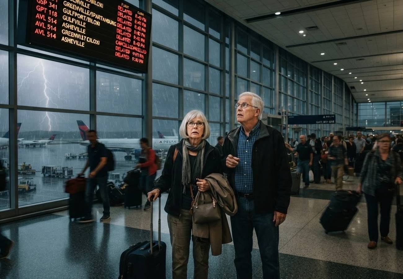
Image generated by AI
A dangerous combination of a stalled weather front and a surge of tropical moisture from the Gulf is triggering a series of repeated thunderstorms across the southern United States. Major hubs, including Greenville, Spartanburg, and Gulfport, are bracing for torrential rains and flash floods that are expected to cause significant travel disruptions.
Forecasters warn that the slow-moving nature of these systems creates a high risk of "training" thunderstorms—where multiple storm cells follow the same path—leading to extreme rainfall totals over concentrated areas. This pattern is likely to overwhelm urban drainage systems, flood low-lying roadways, and disrupt air and rail networks throughout the week.
Regional Impact and High-Risk Zones
The current atmospheric setup is affecting a broad corridor from Texas and Oklahoma through to the Carolinas and the wider Southeast. While this moisture may provide relief to drought-stricken regions, the immediate threat is the rapid rise of rivers, streams, and urban water levels.
The highest risk is currently concentrated in two primary sectors:
- The Appalachian/Southeast Corridor: Stretching across the Carolinas, eastern Tennessee, and northeastern Georgia.
- The Gulf Coast Corridor: Extending from southeastern Texas through to southern Mississippi.
From Sunday through Tuesday, widespread rainfall is expected. While most locations will see between one and three inches of rain, areas hit by repeated storm cells will likely record significantly higher totals.
Critical Weather Data by State
The following table details the specific cities at risk and the primary meteorological drivers for each region.
| State | Cities at Risk | Primary Reason |
|---|---|---|
| Texas | Houston, Beaumont, Port Arthur, Victoria, Corpus Christi, San Antonio, Austin, Del Rio, Eagle Pass, Alpine (Big Bend), Midland (parts) | Repeated heavy thunderstorms (Southeastern to Central/Western TX) |
| Oklahoma | Lawton, Ardmore (southern Oklahoma) | Heavy rain moving east from Texas |
| Louisiana | Lake Charles, Lafayette, Baton Rouge (southern areas) | Gulf moisture and slow-moving storms |
| Mississippi | Gulfport, Biloxi, Hattiesburg, Pascagoula | Flash flood threat from slow-moving thunderstorms |
| Alabama | Mobile, Montgomery, Dothan | Periods of heavy rain across the Southeast |
| Georgia | Atlanta (possible), Athens, Gainesville, Toccoa, Blue Ridge, Clayton (northeastern Georgia) | Highest flood risk in northeastern GA and mountains |
| Tennessee | Chattanooga, Johnson City, Kingsport, Bristol, Cleveland (eastern Tennessee) | Mountain runoff and repeated thunderstorms |
| North Carolina | Charlotte, Greensboro, Asheville, Hickory, Boone, Winston-Salem | Heavy rain with elevated flash flood potential (Western NC) |
| South Carolina | Greenville, Spartanburg, Columbia, Charleston, Rock Hill | Heavy rainfall and locally significant flooding |
Texas Alert: Big Bend and Central Regions
As the weather system evolves, the focus is shifting toward central and western Texas. Between Tuesday and Thursday, an organized area of heavy rainfall is forecast to develop, placing the Big Bend region near the Rio Grande at extreme risk due to its rugged terrain and rapid runoff patterns.
General rainfall projections for central and southwestern Texas range from one to four inches, but localized totals could reach between four and eight inches. In these specific zones, low-water crossings may become impassable, creating life-threatening conditions for motorists.
Understanding the Flash Flood Threat
Flash flooding is particularly hazardous because water levels can escalate within minutes. In urban environments, the prevalence of asphalt and concrete prevents natural absorption, forcing massive volumes of water into drainage systems that can fail instantly.
In rural areas, the danger is driven by terrain. Heavy rain falling on higher ground flows rapidly into creeks and streams, potentially cutting off evacuation routes and roads before residents can react.
Environmental Trade-offs and Future Outlook
Despite the immediate chaos, this weather event provides a necessary counterbalance to the prolonged drought experienced by several Southeastern communities during the first half of the year. The rain is expected to replenish reservoirs and improve soil moisture, potentially allowing some municipalities to ease water conservation restrictions.
Looking ahead, a high-pressure system building over the central United States is expected to push hotter, drier conditions eastward by mid-week. This will likely stabilize the weather for most of the South, although western and southern Texas may see lingering moisture and continued thunderstorm activity.
Travelers are strongly advised to avoid driving through flooded roads and to monitor local emergency alerts in real-time.
Key Takeaways
- Primary Cause: Tropical moisture from the Gulf interacting with a stalled frontal boundary.
- Critical Phenomenon: "Training" thunderstorms causing repeated heavy rain over the same locations.
- High-Risk Areas: Northeastern Georgia, the Carolinas, and the Texas-Mississippi corridor.
- Texas Specifics: 4 to 8 inches of rain possible in some central/southwestern areas through Thursday.
- Positive Outcome: Potential relief for drought-affected agricultural zones in the Southeast.
FAQ
Which cities are most likely to experience travel delays? Major urban centers including Greenville, Spartanburg, Gulfport, Houston, and Atlanta are at high risk due to potential road flooding and airport disruptions.
What is "training" in meteorological terms? Training occurs when a series of thunderstorms move over the same area in succession, similar to cars of a train passing over a track, leading to extreme localized rainfall.
When will the weather return to normal? A high-pressure system is expected to bring drier, hotter weather to most of the South by mid-week, though western Texas may experience delayed stabilization.
Related Travel Guides
Disclaimer
This article is for informational and educational purposes only. It does not constitute legal, financial, or professional advice. While we strive to provide accurate and up-to-date information, travel policies, regulations, and conditions change rapidly. Always verify information with official sources before making travel decisions. Nomad Lawyer makes no representations about the accuracy, reliability, completeness, or suitability of the information provided. Readers should consult qualified professionals for advice specific to their circumstances. The views expressed in this article are those of the author and do not necessarily reflect the views of Nomad Lawyer.
Kunal K Choudhary
Co-Founder & Contributor
A passionate traveller and tech enthusiast. Kunal contributes to the vision and growth of Nomad Lawyer, bringing fresh perspectives and driving the community forward.
Learn more about our team →