
Qhapaq Ñan Andean Road: How Digital Guardians in Colombia, Ecuador, and Peru Are Reshaping Heritage Travel
Discover how Colombia, Ecuador, and Peru are using digital monitoring tools like Ayllu and GeoCAM to preserve the ancient 30,000-km Qhapaq Ñan road network.

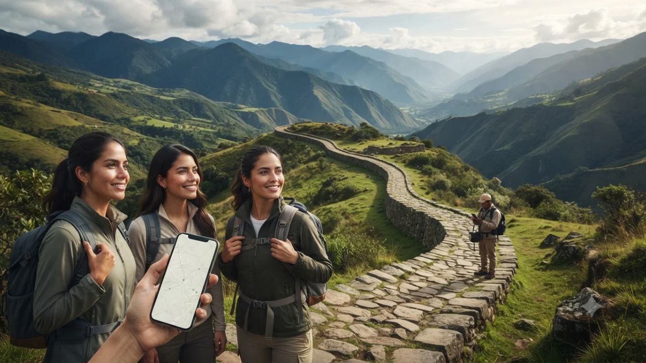
Image generated by AI
While thousands of foreign hikers compete each year for permits on the famous 26-mile stone trail to Machu Picchu, the authentic historic Qhapaq Ñan spanned over 30,000 kilometres across six modern South American nations—and its northern frontier in southwestern Colombia is now pioneering a digital defense. In the high volcanic valleys of Nariño, ancestral indigenous authorities and state heritage delegations from Argentina, Bolivia, Chile, Colombia, Ecuador, and Peru assembled in Pasto in March 2026 to activate Ayllu. Rather than building a consumer trail-booking app to commercialize the route, these Andean nations are deploying specialized offline geospatial tools that empower local indigenous custodians to monitor and protect fragile stone corridors from erosion and development before mass tourism can alter them forever.
The Digital Guardians of the Royal Road: From Pasto to Quito
The modern administration of the Qhapaq Ñan represents one of the most ambitious multilateral preservation programs on the planet. Recognized by the UNESCO World Heritage Centre as a serial transnational treasure, the protected property encompasses 137 individual component sections and 308 associated archaeological monuments stretching across 616.06 kilometres.
Operating from Quito as the Qhapaq Ñan Pro Tempore Secretariat for 2025–2027, Ecuador coordinates the six-nation framework, with Peru serving as alternate secretariat. Ecuador oversees 108.9 kilometres of road, 49 archaeological sites, and 83 indigenous communities, following preventive conservation evaluations completed in July 2026.
Meanwhile, Colombia’s southern department of Nariño has become the testing ground for frontline field monitoring. Colombia’s designated segment extends roughly 17 kilometres through the Rumichaca–Pasto corridor. Following the initial March 2026 activation at Chitarrán in Funes, the Colombian Institute of Anthropology and History (ICANH) led community workshops throughout August in El Contadero, Tangua, and Funes, connecting technical monitoring with local community leaders from Pasto and Ipiales.
For travelers, the essential distinction is that Ayllu is an authorized professional monitoring tool rather than a public tourist navigation app. Operating entirely offline in remote ravines without mobile reception, Ayllu allows certified community rangers to log geographic coordinates, photographic evidence, and structural damage before synchronizing records to central databases. It works in parallel with Kamayuq, a specialized risk-monitoring application whose Version 2.0 was formalized by UNESCO in 2023.
By contrast, Peru introduced a public digital gateway on 14 July 2026 called GeoCAM. Developed by Peru’s Ministry of Culture, GeoCAM is an open-access platform featuring an interactive geographic map, analytical statistics, and an archive of over 50,000 documentary photographs compiled since 2003. Supported by PROMPERÚ under the Marca Perú banner, this initiative provides travelers and researchers with geographical insights without encouraging reckless foot traffic across fragile stone paving.
What Makes Nariño and the Northern Qhapaq Ñan Different
Most foreign visitors equate the Inca road system exclusively with the dry coastal valleys and granite crags of southern Peru. However, traveling the northern Qhapaq Ñan across Colombia’s Nariño department reveals an entirely different cultural geography. Here, the royal highway marked the northernmost reaches of Tawantinsuyu, where Inca outposts engaged in profound cultural exchanges with indigenous Pastos and Quillacingas communities.
The regional topography is dramatic and raw. Deep river chasms cut through high-altitude Andean páramo ecosystems, sheltered beneath the brooding silhouette of the active Galeras Volcano. In towns like Funes and Tangua, ancient stone paving survives not as dead museum remnants, but as living pedestrian arteries connecting isolated farmsteads with town markets.
Across the continent, each national component presents a distinct character. Argentina protects approximately 119 kilometres across 13 segments in seven northern provinces and two national parks. Bolivia preserves 85.67 kilometres along the Desaguadero–Viacha corridor near Lake Titicaca. Chile maintains 112.94 kilometres and 138 archaeological sites across hyper-arid Atacama desert plateaus and high-altitude Andean passes linked to nine indigenous communities. In Nariño, the road remains an active community sanctuary where communal labor traditions have endured for centuries.
Visitor Insider Tips
Experiencing the northern Qhapaq Ñan requires trading mass-tourism expectations for respectful community travel. While platforms like Peru’s GeoCAM allow you to study Andean geography from home, never attempt to hike unmarked road segments in Nariño independently. Always coordinate with municipal cultural offices and seek explicit permission from local indigenous resguardos before walking rural pathways in Funes, Tangua, or El Contadero.
Fly into Antonio Nariño Airport (PSO) outside Pasto from Bogotá. Base yourself in Pasto's historic center near the Plaza del Carnaval, promoted through ProColombia, and visit local workshops to admire Barniz de Pasto—an ancient decorative art using waterproof resin harvested from wild mopa-mopa trees in the Amazon foothills.
Because Pasto sits at an altitude of 2,527 meters, allow at least a day to acclimate before attempting steep mountain walks. Drink hot cups of agua de panela infused with ginger and lime to combat altitude fatigue.
Take a scenic two-hour drive south along the Pan-American Highway toward Ipiales to view the breathtaking neo-Gothic Las Lajas Sanctuary, suspended dramatically across the Guáitara River gorge. Continue to the historic Rumichaca natural stone bridge spanning the Carchi River on the Ecuadorian frontier, which marked the physical threshold of the Inca empire.
When dining, savor authentic Nariñense culinary traditions. Sample hot empanadas de añejo—crispy dumplings crafted from fermented native corn dough stuffed with spiced meats and served with fiery peanut ají—or head to the lakeside villages of Laguna de la Cocha to feast on fresh rainbow trout baked in wood-fired clay ovens.
Cultural and Environmental Context
The preservation of the Qhapaq Ñan is inseparable from environmental stewardship. In southwestern Colombia and northern Ecuador, surviving road segments traverse high-altitude páramo biomes—spongy, water-retaining ecosystems dominated by giant frailejones plants that capture cloud moisture and feed regional rivers. Heavy, unmanaged trekking can permanently scar these delicate peat bogs and trigger catastrophic soil erosion.
The communal philosophy behind Ayllu reflects deep Andean wisdom. In Quechua, the word ayllu represents the extended family community united by reciprocal solidarity, where collective labor (the minga) sustains public infrastructure. By placing digital heritage monitoring directly into the hands of local rural councils rather than distant corporate concessionaires, Colombia and its Andean partners demonstrate that indigenous stewardship is the most powerful defense against cultural decay.
FAQ: Exploring the Qhapaq Ñan 2026
Can independent tourists use the Ayllu app to hike the Qhapaq Ñan?
No. Ayllu is a restricted technical tool designed exclusively for authorized heritage professionals and local community custodians. It is not a consumer navigation or booking app.
What digital resources can travelers use to explore the Inca Road?
Peru's free GeoCAM platform provides an interactive public map and a database of over 50,000 archival photographs documenting Qhapaq Ñan segments and archaeological monuments.
Do travelers need permission to visit Qhapaq Ñan sites in Colombia?
Yes. Because Colombian segments pass through indigenous territories and private community lands in Nariño, travelers must obtain prior guidance and permission from local community cabildos.
How do travelers reach the northern Qhapaq Ñan corridor in Nariño?
Fly into Pasto's Antonio Nariño Airport from Bogotá, then arrange local transport south along the Pan-American Highway through Tangua, Funes, and Ipiales toward the Rumichaca border bridge.
The great stone road of the Andes was built to unite communities across mountain peaks, and its survival relies on honoring the living people who walk it today.
Related Travel Guides
Northeast Corridor Train Journey: How Baltimore, DC, Philadelphia, and New York Form One Trip
Europe to Latin America Direct Flights: The Insider Guide to Transatlantic Routes in 2026
10 Best Cultural Trekking Routes in the Andes According to Reddit 2026
Disclaimer
This article is for informational and educational purposes only. It does not constitute legal, financial, or professional advice. While we strive to provide accurate and up-to-date information, travel policies, regulations, and conditions change rapidly. Always verify information with official sources before making travel decisions. Nomad Lawyer makes no representations about the accuracy, reliability, completeness, or suitability of the information provided. Readers should consult qualified professionals for advice specific to their circumstances. The views expressed in this article are those of the author and do not necessarily reflect the views of Nomad Lawyer.
Raushan Kumar
Founder & Lead Developer
Full-stack developer with 11+ years of experience and a passionate traveller. Raushan built Nomad Lawyer from the ground up with a vision to create the best travel and law experience on the web.
Learn more about our team →