Miami and Fort Lauderdale Face Severe Flood Watch: South Florida Travel and Cruise Disruption Guide

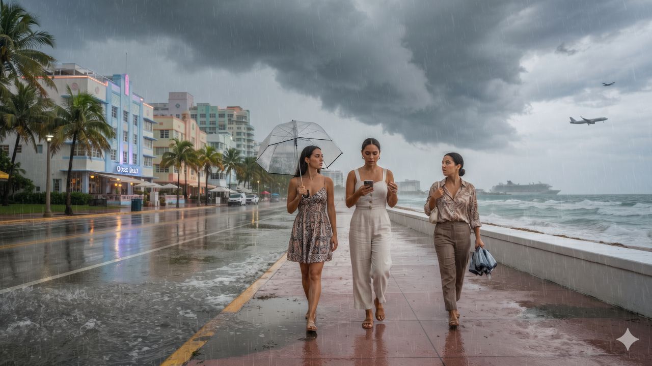
With isolated thunderstorm cells threatening to dump up to 10 inches of torrential rain across South Florida between 17 and 20 November 2026, the greatest hazard facing pre-Thanksgiving travelers is not closed runways, but the porous limestone bedrock that leaves urban streets with nowhere for stormwater to drain. The National Weather Service placed extensive sections of Miami-Dade, Broward, and Palm Beach counties under an active flood watch running from Tuesday, 17 November, through Thursday evening, 19 November, with trailing cloud bands keeping rainfall risks elevated into Friday, 20 November.
Widespread downpours of 2 to 4 inches are projected across the southeastern Florida peninsula, with training thunderstorms dumping 6 to 8 inches over saturated ground and isolated bursts pushing accumulations to 10 inches. Compounded by offshore Atlantic wave heights reaching 10 to 12 feet and dangerous rip currents, the storm system is complicating transit to Miami International Airport (MIA), Fort Lauderdale-Hollywood International Airport (FLL), PortMiami, and Port Everglades.
Storm Front Breakdown: Urban Inundation and Maritime Havoc
The official alert issued by the National Weather Service Miami Weather Forecast Office covers a continuous coastal urban belt. Alongside Miami, Fort Lauderdale, and Hollywood, the flood watch encompasses major residential and hotel hubs, including Pompano Beach, Deerfield Beach, Coral Springs, Pembroke Pines, Kendall, Hialeah, and West Palm Beach.
The immediate operational challenge centers on localized flash flooding. Unlike inland states where excess runoff drains into river valleys, South Florida sits atop the Biscayne Aquifer, where high water tables can saturate within minutes during intense thunderstorm downpours. Low-lying highway ramps along Interstate 95, State Road 836 (Dolphin Expressway), and State Road 112 encounter standing water that quickly stalls passenger cars and delays shuttle fleets.
At the coast, the hazard shifts from street-level pooling to marine conditions. The National Oceanic and Atmospheric Administration warned of hazardous beach breaks, rough shore conditions, and life-threatening rip currents across all three counties. Breakers of 10 to 12 feet in the Atlantic make swimming, recreational paddling, and catamaran excursions hazardous, with municipal lifeguards flying double-red flags to indicate total water closures.
| Tourism & Transport Hub | Primary Forecast Weather Hazard | Direct Impact on Travelers | Recommended Action |
|---|---|---|---|
| Miami International Airport (MIA) | Urban flooding on feeder expressways | Surface delays on SR-836 & airport ramps | Add 2 hours travel buffer; track flight apps |
| Fort Lauderdale Airport (FLL) | Flash flooding on perimeter roadways | Inundation of low-lying intersections | Use US-1 or rail links where roads pool |
| PortMiami Cruise Terminals | Causeway congestion & bridge slowdowns | Missed ship boarding windows | Arrive in port city 24 hours before embarkation |
| Port Everglades (Fort Lauderdale) | Severe rain bands on coastal access roads | Freight and shuttle transfer delays | Coordinate private transfer with cruise line |
| Miami Beach & South Beach | 10–12 ft surf, rip currents, street pooling | Alton Road flooding; beach closures | Obey double-red flags; avoid sea swimming |
| Pompano Beach & Deerfield Beach | Coastal squalls, hazardous beach conditions | Watersport cancellations & rough sea spray | Move outdoor plans to cultural venues |
| West Palm Beach | High-volume urban thunderstorm runoff | Localized road stalls near Downtown | Utilize Brightline passenger rail |
What Makes South Florida Flooding Uniquely Hazardous for Travelers
South Florida's vulnerability to flooding is rooted in its unique geology. The region rests on porous oolitic limestone, meaning that once the subterranean water table reaches capacity, additional water cannot soak into the ground. When high-volume cloud bursts strike during high tide, gravity-fed stormwater drains back up, forcing seawater and street runoff upward through manhole covers.
In tourist centers like South Beach, historic neighborhoods were constructed decades before modern flood-mitigation standards were adopted. While mechanical pump stations along Alton Road and Collins Avenue work to expel floodwaters into Biscayne Bay, excessive cloudbursts exceeding 2 inches per hour temporarily overwhelm municipal pumps.
For rental car drivers, this creates catastrophic traps. Floodwater mixed with brackish saltwater corrodes undercarriages, destroys sensitive electronic control modules, and immediately voids rental vehicle collision damage waivers. What appears to be an ordinary puddle at a street corner often conceals a foot-deep trench capable of disabling an economy sedan.
Visitor Insider Tips: Navigating the Storm Corridor
Travelers passing through South Florida during the mid-November storm front should use targeted logistical workarounds:
Airport Transfers and Road Navigation
- The "Turn Around, Don't Drown" Rule: Never attempt to drive through standing water on urban roads, particularly along Alton Road in Miami Beach, Federal Highway (US-1) in Fort Lauderdale, or around the perimeter of FLL airport. If oncoming headlights reflect deep standing water, take an alternate arterial street.
- Bypass I-95 Gridlock via Rail: When traveling between downtown Miami, Fort Lauderdale, and West Palm Beach, bypass rain-slicked highway pile-ups by riding the Brightline higher-speed rail or Tri-Rail commuter network. Both operate on elevated rail beds unaffected by street-level flooding.
- Flight Departure Buffers: While neither MIA nor FLL have announced airport-wide shutdowns, ground crews must halt outdoor baggage handling and aircraft refueling whenever lightning is detected within five miles. Add at least two hours to your domestic departure buffer.
Cruise Embarkation Protection
- PortMiami Access Tactics: Access to PortMiami via the Port Boulevard Bridge and Port Tunnel experiences heavy bottlenecks when downtown streets fill with runoff. Allow three hours between leaving your hotel and your assigned cruise check-in window.
- Luggage Waterproofing: Standard soft-sided canvas suitcases offer zero protection against driving rain during pier baggage loading. Line the inside of your luggage with heavy plastic dry bags or trash liners to protect holiday clothing from water damage.
Coastal Safety Protocols
- Respect Ocean Warning Flags: When lifeguards hoist two red flags, the water is strictly closed to the public. Atlantic rip currents during 10-to-12-foot wave events can pull even elite swimmers hundreds of yards offshore in seconds.
Environmental Resilience and Urban Infrastructure
The recurring threat of sudden flash floods in November underscores the environmental reality of South Florida's coastal barrier islands. Miami-Dade and Broward counties are investing billions of dollars in climate adaptation, installing high-capacity stormwater pumps, elevating seawalls, and raising street grades by two to three feet in flood-prone districts.
However, these engineering defenses are designed for long-term sea-level stabilization, not instantaneous cloudbursts dropping 8 to 10 inches within hours. Sustainable tourism during severe weather events requires visitors to ease the strain on municipal infrastructure: minimize wastewater usage during heavy downpours, respect street closure barriers, and patronize neighborhood businesses away from vulnerable tidal zones.
FAQ: Navigating South Florida's November 2026 Flood Watch
Which areas are under the South Florida flood watch?
The National Weather Service flood watch covers urban and coastal sections of Miami-Dade, Broward, and Palm Beach counties from 17 to 19 November 2026, with wet weather lingering into 20 November.
Are Miami (MIA) and Fort Lauderdale (FLL) airports open?
Yes. Both airports remain open, though flight schedules may experience delays due to ground lightning holds, and surrounding access roads may encounter localized pooling.
Will cruise ships still depart from PortMiami and Port Everglades?
Yes. Cruise lines maintain scheduled departures unless severe marine hazards close harbor channels. Travelers must allow extra transit time to avoid missing final boarding calls.
Can tourists swim at Miami Beach or Fort Lauderdale during the alert?
No. The National Weather Service warns of dangerous surf with wave heights of 10 to 12 feet and life-threatening rip currents, prompting widespread beach water closures.
Related Travel Guides
- Mexico Hits $26B Tourism High as Air Travelers Spend $1,189 Each: Cancún, Los Cabos, and Vallarta Guide
- Philadelphia 2026 Semiquincentennial Guide: Historic Icons, Parkway Arts, and Food Rhythms
- California Tourism 2027 Playbook: Super Bowl LXI, Pebble Beach U.S. Open, and Ahwahnee Centenary
Stay clear of flooded intersections, leave extra hours for port transfers, and respect coastal warning flags while South Florida navigates November's storm systems.
This article is for informational purposes. Flight routes, passenger regulations, visa rules, and transit advisories are subject to change by airlines and aviation authorities. Readers are advised to verify schedules and travel documentation with relevant carriers and border agencies before departure.
Related Stories

Thanksgiving 2026 Highway Travel Survival Guide: California, Texas, Florida, and New York Routes
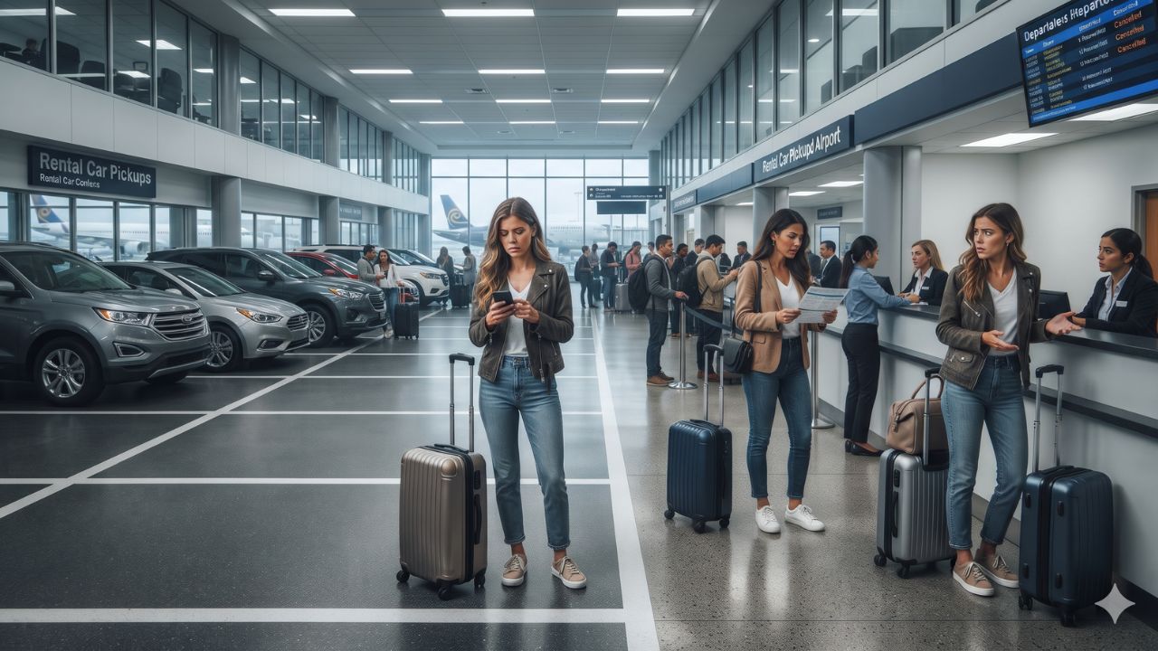
US Rental Car Shortages and $700 Rates Strike Hubs Following FAA Ground Stop: Traveler Guide