
Google Maps Updates 'Lake America' Label: A Guide to Geographic Name Changes and Travel Metrics
Following an August 27, 2026 US Executive Order, Google Maps displays 'Lake America' for US users while retaining 'Lake Ontario' in Canada.

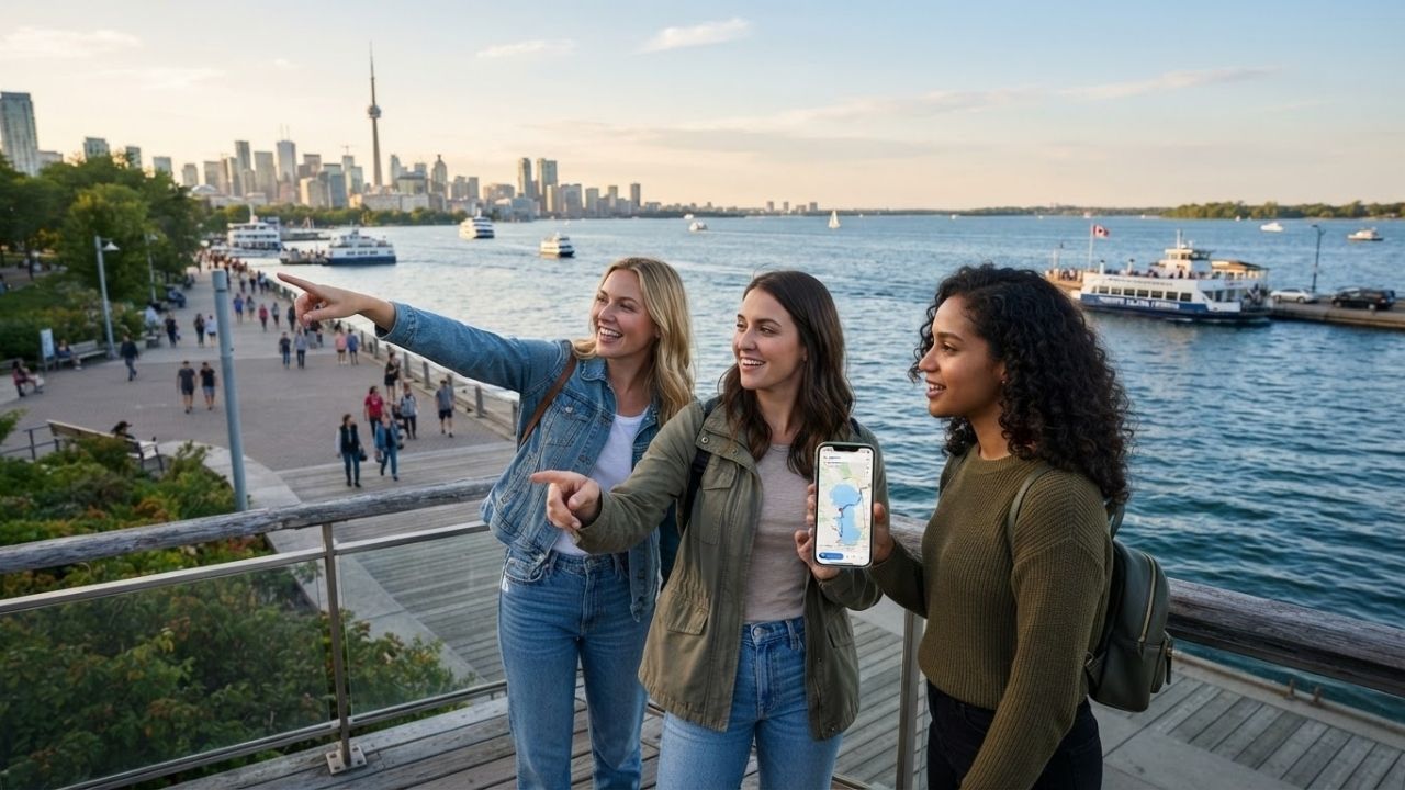
Image generated by AI
Following an August 27, 2026 U.S. Executive Order, digital navigation platforms including Google Maps have updated their geographic labels for the major waterway shared by the United States and Canada. U.S. users now see "Lake America," while Canadian users continue seeing "Lake Ontario."
August 27 Executive Order and Location-Based Map Displays
[WASHINGTON, D.C.] — International travelers planning cross-border journeys between Canada and the United States are encountering a location-sensitive digital mapping change. An Executive Order issued by the White House on August 27, 2026, instructed the U.S. Department of the Interior to update federal geographic records within 30 days.
Under the directive, the Geographic Names Information System (GNIS) removed federal references to Lake Ontario in U.S. records, replacing them with Lake America. Google subsequently updated its navigation platform to align with GNIS records:
- U.S. Map Viewers: Mobile and desktop users accessing Google Maps within the United States see the name "Lake America."
- Canadian Map Viewers: Users accessing the platform within Canada continue to see the traditional designation "Lake Ontario."
- International Viewers: Users in other countries see both names displayed on digital map interfaces.
This technical adjustment creates practical navigation considerations for tourists searching for attractions, ferry terminals, and waterfront hotels along the Toronto–New York border corridor.
Regional Economic Scale: Ontario GDP, Niagara Visitors, and Cross-Border Travel
The waterway sits within one of North America’s busiest travel and commercial zones. Tourism metrics underscore the economic significance of the shared basin:
- Ontario Tourism GDP: Tourism contributes approximately C$30.9 billion to Ontario’s Gross Domestic Product and supports 109,000 tourism-related businesses.
- International Visit Share: Ontario accounts for 42 percent of Canada’s total international visitor arrivals.
- Niagara Region Volume: The Niagara Region attracts approximately 14 million annual visitors, with Niagara Falls drawing 12 million annual tourists. Peak visitation occurs between July and September, followed by the April-to-June travel window.
The table below outlines key tourism statistics, economic data, and digital mapping designations across the Lake Ontario / Lake America region:
| Regional Indicator / Metric | Official Figure & Performance Benchmark | Mapping & Geographic Specification |
|---|---|---|
| Ontario Tourism GDP Contribution | C$30.9 Billion | Supports ~109,000 regional tourism businesses |
| Share of Canada's International Visits | 42% of National Total | Primary international travel gateway for Canada |
| Niagara Region Annual Visitors | Approximately 14 Million | Major cross-border tourism corridor |
| Niagara Falls Annual Visitors | Approximately 12 Million | Peak visitation window: July through September |
| Shared International Boundary | Canada – United States | Border waterway connecting Ontario & New York |
| U.S. Google Maps Designation | Lake America | Reflects August 27, 2026 GNIS federal database update |
| Canadian Google Maps Designation | Lake Ontario | Retains traditional Canadian geographic record |
| International Map Viewers | Both Names Displayed | Displays dual terminology based on device locale |
Comparative Case Studies: Gulf of America, Denali, and Sagarmatha
Geographic name variations on digital mapping platforms are not unprecedented. Similar location-sensitive adjustments have occurred across major global travel destinations:
1. Gulf of Mexico / Gulf of America (February 2025)
In February 2025, the GNIS changed the U.S. federal designation of the Gulf of Mexico to "Gulf of America." Google Maps implemented location-based rules where U.S. users see Gulf of America, Mexican users see Gulf of Mexico, and international users see both names.
The table below summarizes the Google Maps display rules for the Gulf corridor:
| User Access Location | Google Maps Display Label | Regional Destination Scope |
|---|---|---|
| United States | Gulf of America | Covers U.S. Gulf Coast destinations |
| Mexico | Gulf of Mexico | Covers Mexican resort & port destinations |
| Other International Locations | Both Names Displayed | Dual labeling for global travel searches |
2. Denali vs. Mount McKinley National Park (Alaska)
Established in 1917 as Mount McKinley National Park, the area was renamed Denali National Park and Preserve in 1980, covering 6.08 million acres (9,492 square miles). National Park Service (NPS) data highlights a major visitor recovery and economic output:
The table below shows Denali National Park visitor numbers and economic metrics:
| Calendar Year | Denali Recreation Visitors | Annual YoY Growth Rate | NPS Visitor Spending / Economic Output |
|---|---|---|---|
| 2020 | 54,850 | Baseline Pandemic Year | Reduced regional spend |
| 2021 | 229,521 | +318.4% YoY Recovery | US$255 Million Visitor Spending |
| 2022 | 427,562 | +86.3% YoY Growth | US$475 Million Visitor Spending |
| 2023 | 498,722 | +16.6% YoY Growth | US$559M Spend / US$840M Economic Output |
| 2025 | 543,300 | +16.53% YoY Growth | Record visitor volume |
3. Mount Everest vs. Sagarmatha National Park (Nepal)
Nepal officially refers to the protected UNESCO World Heritage site surrounding Mount Everest as Sagarmatha National Park. Nepal Tourism Board statistics demonstrate a 5-year recovery reaching 1,158,459 international tourist arrivals in 2025 (96.8 percent of 2019 pre-pandemic levels), led by India (292,438), the United States (112,316), and China (95,480).
The table below provides the full monthly arrival data series for Nepal from 2021 through 2025:
| Month | 2021 Arrivals | 2022 Arrivals | 2023 Arrivals | 2024 Arrivals | 2025 Arrivals |
|---|---|---|---|---|---|
| January | 8,874 | 16,975 | 55,074 | 79,101 | 79,991 |
| February | 9,266 | 19,856 | 73,255 | 97,423 | 96,880 |
| March | 15,254 | 42,152 | 99,426 | 128,167 | 121,687 |
| April | 22,732 | 61,589 | 98,773 | 111,382 | 116,490 |
| May | 1,531 | 54,093 | 77,703 | 90,205 | 86,216 |
| June | 1,187 | 46,957 | 72,250 | 76,733 | 76,425 |
| July | 3,093 | 44,462 | 57,726 | 64,598 | 70,193 |
| August | 6,093 | 41,304 | 67,153 | 72,717 | 88,680 |
| September | 9,907 | 58,314 | 91,012 | 96,302 | 78,711 |
| October | 23,338 | 88,582 | 117,306 | 124,391 | 128,443 |
| November | 26,135 | 72,653 | 108,630 | 114,496 | 116,553 |
| December | 23,552 | 67,932 | 96,574 | 92,033 | 98,190 |
| Annual Total | 150,962 | 614,869 | 1,014,882 | 1,147,548 | 1,158,459 |
Why This Matters for Passengers and International Travelers
For international travelers planning cross-border trips between the U.S. and Canada, digital map name variations do not alter physical flight schedules, ferry crossings, or hotel addresses. When searching for accommodations or navigation routes around Toronto, Rochester, or Niagara Falls, travelers should enter specific street addresses or landmark names rather than relying solely on body-of-water keywords. Understanding that digital platforms adapt names based on user location prevents confusion when navigating international borders.
Frequently Asked Questions
Why does Google Maps show "Lake America" in the United States and "Lake Ontario" in Canada?
Google Maps displays geographic names based on federal database records in the user's country. Following an August 27, 2026 U.S. Executive Order, U.S. federal records list Lake America, while Canadian records retain Lake Ontario.
When did the U.S. Executive Order regarding Lake America take effect?
The U.S. Executive Order was issued on August 27, 2026, directing the Department of the Interior to update GNIS federal geographic records within 30 days.
Do digital map name changes affect physical cross-border travel?
No. Physical travel routes, border control checkpoints, airline schedules, and hotel locations remain unchanged. Travelers should search using specific addresses or landmark names when navigating cross-border trips.
Related Travel Guides
Canada-US Cross-Border Travel Advisory and Border Crossing Guide
Niagara Falls and Great Lakes Complete Itinerary Guide
10 Best Cross-Border Road Trips in North America, According to Reddit
Disclaimer
This article is for informational and educational purposes only. It does not constitute legal, financial, or professional advice. While we strive to provide accurate and up-to-date information, travel policies, regulations, and conditions change rapidly. Always verify information with official sources before making travel decisions. Nomad Lawyer makes no representations about the accuracy, reliability, completeness, or suitability of the information provided. Readers should consult qualified professionals for advice specific to their circumstances. The views expressed in this article are those of the author and do not necessarily reflect the views of Nomad Lawyer.
Raushan Kumar
Founder & Lead Developer
Full-stack developer with 11+ years of experience and a passionate traveller. Raushan built Nomad Lawyer from the ground up with a vision to create the best travel and law experience on the web.
Learn more about our team →