
Global Volcano Travel Alerts 2026: Indonesia, New Zealand, Japan, Iceland and Italy Access Rules
From Indonesia's Anak Krakatau to New Zealand's Whakaari, five major volcanic destinations have updated their exclusion zones and alert levels for October 2026, requiring travelers to navigate complex local safety protocols.

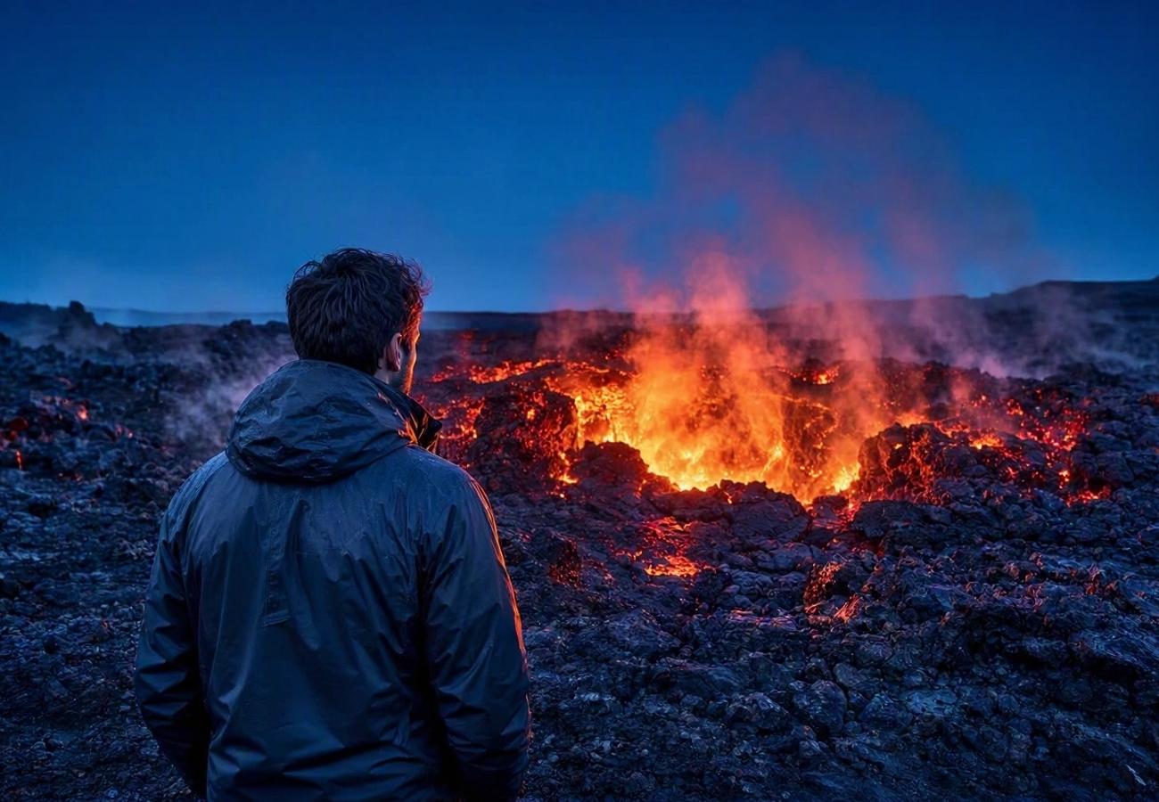
Image generated by AI
A volcanic alert level does not automatically mean a destination is closed, but in Indonesia, a Level III warning for Anak Krakatau currently mandates a strict five-kilometre exclusion radius for all tourist boats. Many travelers mistake scientific monitoring codes for blanket travel bans, yet the reality is a fragmented system of municipal ordinances, maritime rules, and geological hazard corridors that vary by country.
The 2026 Volcanic Risk Shift
Current data from October 2026 shows a surge in activity across the "Ring of Fire" and the Atlantic ridge. We are seeing a trend where authorities are moving away from general warnings toward hyper-specific exclusion zones. For instance, while Japan’s Sakurajima remains at Level 3, the restrictions are surgically limited to a two-kilometre radius around the craters, leaving the rest of the city's tourism infrastructure fully operational.
Conversely, New Zealand has taken a harder line. Following the confirmation of eruptive activity on 21 October, Whakaari/White Island was elevated to Volcanic Alert Level 3, reinforcing a permanent ban on public landing tours. The critical takeaway for any nomad or traveler is that an "aviation color code" (used for flights) is entirely different from a "civil protection alert" (used for hikers).
Volcanic Access and Hazard Comparison 2026
| Country | Destination | Current Status/Alert | Visitor Impact & Restrictions |
|---|---|---|---|
| Indonesia | Anak Krakatau | Level III | 5km exclusion radius for all excursions |
| New Zealand | Whakaari/White Island | Level 3 | Public landing tours banned; orange aviation code |
| Japan | Sakurajima | Level 3 | 2km restriction from Minamidake and Showa craters |
| Iceland | Reykjanes/Grindavík | Hazard Map valid to Jan 2027 | No walking on new lava; stay on marked trails |
| Italy | Mt. Etna & Stromboli | Yellow Civil Protection | Check local Mayor/Harbour Master ordinances |
What Makes These Destinations Different
Each region manages its volcanic risk through a different lens of authority. In Italy, the Italian Civil Protection Department uses a color-coded system (Green, Yellow, Orange, Red), but the actual "boots on the ground" rules are decided by local mayors and harbour masters. If you are visiting Stromboli, the Mayor of Lipari controls the hiking trails, while the Harbour Master decides if boats can approach the Sciara del Fuoco.
Iceland operates on a "hazard corridor" model. The Icelandic Meteorological Office has identified a 20-kilometre corridor on the Reykjanes Peninsula where fissures could open. This isn't a 20-kilometre "no-go zone," but rather a map of probability. The danger here is often invisible; ground uplift around Svartsengi was measured at four centimetres over three months leading up to September, signaling magma accumulation that could trigger an eruption with less than one hour of warning.
Visitor Insider Tips
Timing and Logistics:
- Japan: When visiting Kagoshima, monitor the Japan Meteorological Agency's daily bulletins. Between 23 and 26 October, Sakurajima saw 12 eruptions. If you see ash falling, move indoors immediately to avoid respiratory irritation.
- New Zealand: Do not confuse the status of Whakaari with the rest of the Bay of Plenty. While the island is off-limits, mainland tourism is unaffected. For those heading to Tongariro National Park, check the Department of Conservation (DOC) for track-specific closures; a Level 1 alert at Tongariro can trigger immediate crossing closures.
- Iceland: Never step on newly formed lava in Grindavík. Even if the surface looks solid, the core can retain lethal temperatures. Always identify your evacuation exit before starting a hike.
Local Etiquette and Safety:
- Italy: Respect the sirens on Stromboli. There are different signals for volcanic explosions (seek shelter) versus tsunamis (move inland/uphill).
- Indonesia: Ensure your boat captain is strictly adhering to the five-kilometre limit at Anak Krakatau. Local operators may sometimes attempt to get closer for "better photos," but the Level III status makes this illegally dangerous.
Cultural and Environmental Context
Volcanic tourism creates a constant tension between economic reliance on "adventure travel" and the duty of care for human life. In New Zealand, the shift to a permanent ban on Whakaari landings represents a cultural pivot toward prioritizing geological respect over tourist access.
In Iceland, the persistence of the Reykjanes hazard map through January 2027 shows how local communities in Grindavík are learning to live in a state of "permanent readiness." Tourism here is no longer about a one-time event but about managing a long-term geological shift. This requires travelers to move from a "sightseeing" mindset to a "monitoring" mindset, where checking a hazard map is as essential as checking the weather.
FAQ: Visiting Volcanic Zones 2026
Is it safe to visit Japan's Sakurajima right now? Yes, provided you stay outside the two-kilometre restricted zone around the Minamidake and Showa craters. Most tourism infrastructure remains open, but you must monitor ash warnings and debris flow alerts during rainfall.
Can I still land on White Island (Whakaari) in New Zealand? No. Public landing tours are banned. Following the October 21 confirmation of eruptive activity and the move to Alert Level 3, visitors should only view the island from a safe distance via authorized boat operators.
How do I know if a trail is open in Italy? Do not rely solely on the national "Yellow" alert. You must verify specific hiking ordinances with the Mayor of Lipari for Stromboli or the regional authorities for Mount Etna, as they control individual trail access.
What is the "hazard corridor" in Iceland? It is a mapped area (roughly 20km) where scientists believe eruptive fissures are most likely to open. It is not a total exclusion zone, but a guide for where you should exercise extreme caution and follow designated routes.
Respect the mountain, or the mountain will remind you who is in charge.
Related Travel Guides
Disclaimer
This article is for informational and educational purposes only. It does not constitute legal, financial, or professional advice. While we strive to provide accurate and up-to-date information, travel policies, regulations, and conditions change rapidly. Always verify information with official sources before making travel decisions. Nomad Lawyer makes no representations about the accuracy, reliability, completeness, or suitability of the information provided. Readers should consult qualified professionals for advice specific to their circumstances. The views expressed in this article are those of the author and do not necessarily reflect the views of Nomad Lawyer.
Preeti Gunjan
Contributor & Community Manager
A passionate traveller and community builder. Preeti helps grow the Nomad Lawyer community, fostering engagement and bringing the reader experience to life.
Learn more about our team →