Cyprus Leaders Agree to Open Two New Crossing Points Along the Green Line in Historic UN-Mediated Accord

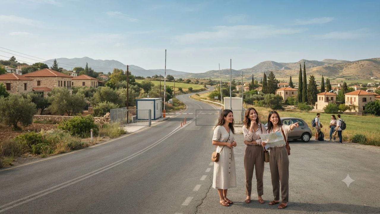
In the most consequential step toward intercommunal mobility on the divided Mediterranean island in nearly a decade, Greek Cypriot President Nikos Christodoulides and Turkish Cypriot leader Tufan Erhürman reached an agreement on 9 November 2026 to open two new crossing points along the United Nations Buffer Zone. Brokered under the auspices of the United Nations in Nicosia, the accord will establish a south-eastern transit route linking Louroujina with Lympia and a north-western mountain-to-coast corridor connecting Karavostasi with Kambos. The initiative will expand the island's operational crossing network from nine to eleven checkpoints, marking the first physical expansion of the Green Line transit infrastructure since 2018. While both leaders stipulated that the two routes must open simultaneously, technical engineering, road paving, and security installations remain underway before the checkpoints become accessible to public travel.
The agreement, finalized during a trilateral summit hosted by María Ángela Holguín, the Personal Envoy of UN Secretary-General António Guterres, represents a major breakthrough in confidence-building measures (CBMs). While not resolving the underlying constitutional and sovereignty questions surrounding the Cyprus dispute, the expansion directly addresses practical everyday mobility for residents, local commerce, and international visitors. By decentralizing transit away from the congested urban bottlenecks of central Nicosia, the planned corridors promise to unlock direct access to remote agricultural communities, the Troodos mountain range, and the coastal settlements of Morphou Bay.
========================================================================================
CYPRUS GREEN LINE EXPANSION SCORECARD: 2026 UN-MEDIATED ACCORD
========================================================================================
Strategic Metric                     Agreement Parameter               Operational Status
----------------------------------------------------------------------------------------
Agreement Date & Location            9 November 2026 (Nicosia, UNPA)   Signed under UN auspices
Key Signatories                      Nikos Christodoulides (Greek Cyp.)Trilateral consensus with
                                     Tufan Erhürman (Turkish Cyp.)     UN Envoy María Ángela Holguín
Current Operational Checkpoints      9 Active Crossing Points          In place since November 2018
Target Operational Checkpoints       11 Crossing Points (+22.2%)       First physical expansion in 8 years
Corridor 1: South-Eastern Route      Louroujina (Akıncılar) – Lympia   Paved, direct regional transit
Corridor 2: North-Western Route      Karavostasi (Gemikonağı) – Kambos Coastal-to-mountain connection; unpaved
Opening Modality                     Strict Simultaneous Opening       Neither route opens independently
Current Public Access Status         Under Infrastructure Construction Public transit strictly prohibited
Complementary CBM Agreements         Heritage, Environment, Education Archival sharing & crisis mechanism
========================================================================================
Official Source: United Nations Peacekeeping Force in Cyprus (UNFICYP) Summit Briefing (Nov 2026).
========================================================================================
The Diplomatic Framework: The UNPA Summit and Trilateral Confidence-Building
The breakthrough agreement emerged from formal discussions held within the United Nations Protected Area (UNPA) in Nicosia, situated within the perimeter of the defunct Nicosia International Airport. Hosted by Personal Envoy María Ángela Holguín, the trilateral summit marked a productive convergence between Christodoulides and Erhürman following months of preparatory shuttle diplomacy aimed at restoring momentum to the stagnant peace process.
========================================================================================
CHRONOLOGY OF CYPRUS GREEN LINE CROSSING POINT EXPANSIONS (2003–2026)
========================================================================================
Year Opened   Checkpoint Corridor              Transit Type      Strategic Significance
----------------------------------------------------------------------------------------
April 2003    Ledra Palace (Nicosia)           Pedestrian/Diplo  Historic first opening of dividing line
May 2003      Ayios Dometios / Metehan         Vehicular/Ped     Primary commercial & vehicular artery
May 2003      Strovilia / Akyar                Vehicular/Ped     Eastern access via UK Sovereign Base (SBA)
May 2003      Pergamos / Beyarmudu             Vehicular/Ped     Eastern agricultural & regional transit
August 2005   Astromeritis / Zodhia            Vehicular         Western transit toward Morphou plain
April 2008    Ledra Street (Nicosia Old Town)  Pedestrian Only   Iconic commercial center integration
October 2010  Limnitis / Yeşilırmak            Vehicular/Ped     North-western coastal enclave connection
November 2018 Deryneia / Derinya               Vehicular/Ped     South-eastern coastal link near Famagusta
November 2018 Lefka / Aplici (Lefke)           Vehicular/Ped     North-western mountain foothills link
2026 (Accord) Louroujina / Lympia              Vehicular/Ped     Pending technical road construction
2026 (Accord) Karavostasi / Kambos             Vehicular/Ped     Pending major mountain paving & clearance
========================================================================================
Data Sources: UNFICYP Historical Records & Republic of Cyprus Ministry of Foreign Affairs.
========================================================================================
Between the unilateral opening of the Green Line in April 2003 and the late 2010s, crossing points were progressively established to reconnect families, facilitate intercommunal trade under the EU Green Line Regulation, and permit tourism mobility. However, after the simultaneous opening of the Deryneia and Lefka crossings in November 2018, infrastructure expansion stalled entirely amidst political gridlock and regional geopolitical tensions.
The 9 November 2026 accord revitalizes the confidence-building mechanism. By framing the agreement around tangible infrastructure improvements that benefit both communities equally, the UN mediation team succeeded in bypassing entrenched constitutional disputes to secure practical consensus on physical transit corridors.
The South-Eastern Corridor: Louroujina (Akıncılar) to Lympia (Limya)
The first of the two approved crossing points links the village of Louroujina, known in Turkish as Akıncılar, with the community of Lympia (Limya), situated in the south-eastern sector of the Nicosia-Larnaca administrative border.
========================================================================================
LOUROUJINA–LYMPIA CROSSING CORRIDOR: TECHNICAL & OPERATIONAL PROFILE
========================================================================================
Geographic Parameter                 South-Eastern Sector Specification
----------------------------------------------------------------------------------------
Northern Terminal Community          Louroujina (Akıncılar), Southernmost Turkish Cypriot village
Southern Terminal Community          Lympia (Limya), Larnaca District (South-east of Nicosia)
Topographical Terrain                Flat to gently undulating agricultural plain
Current Road Infrastructure          Primarily paved rural road networks on both sides
Estimated Buffer Zone Transit Width  Relatively narrow UN-controlled corridor
Required Infrastructure Upgrades     Inspection bays, customs booths, IT connectivity, lighting
Engineering Complexity Rating        Moderate to Low; rapid completion technically viable
Strategic Mobility Benefit           Direct link between Larnaca regional highways and local villages
========================================================================================
Louroujina occupies a unique geographic position: it is the southernmost inhabited Turkish Cypriot village on the island, forming a salient that juts into the southern territory. For decades, residents of Louroujina have faced cumbersome transit routes, requiring circuitous detours through central Nicosia or distant eastern checkpoints simply to access services, farms, or neighboring villages located just a few kilometers away across the buffer zone.
The proposed checkpoint connects Louroujina directly with Lympia, an established municipality in the Larnaca district positioned immediately south-east of the capital. Because the existing road network on either side of the dividing line is largely paved and the topography consists of accessible agricultural terrain, engineering teams face relatively minor physical obstacles.
Technical preparations at Louroujina–Lympia focus primarily on erecting standardized border control booths, installing computerized identity verification systems, running secure fiber-optic data connections, and establishing traffic inspection lanes for civilian cars and agricultural utility vehicles. Once operational, this crossing will substantially reduce travel times between the rural south-eastern interior and the main Nicosia-Larnaca motorway corridor.
The North-Western Mountain Corridor: Karavostasi (Gemikonağı) to Kambos (Kambo)
In stark contrast to the straightforward engineering conditions in the south-east, the second agreed crossing point presents formidable topographical and structural challenges. This route connects Karavostasi (known in Turkish as Gemikonağı) on the north-western coast with the high-altitude village of Kambos (Kambo) in the rugged Troodos mountain range.
========================================================================================
KARAVOSTASI–KAMBOS CROSSING CORRIDOR: ENGINEERING & TERRAIN PROFILE
========================================================================================
Geographic Parameter                 North-Western Sector Specification
----------------------------------------------------------------------------------------
Northern Coastal Terminal            Karavostasi (Gemikonağı), Morphou Bay coastline
Southern Mountain Terminal           Kambos (Kambo), Troodos Mountain Range / Marathasa Valley
Elevation Differential               Sea level (0m) to mountainous interior (>800m altitude)
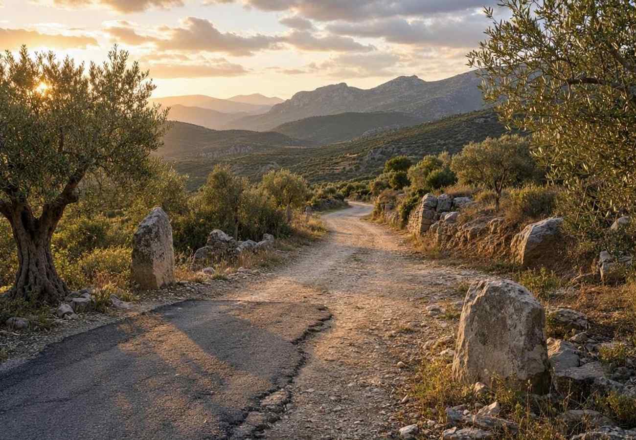
Current Roadway Condition            Unpaved, narrow dirt track from Kambos toward buffer zone
Buffer Zone Complexity               Mountainous terrain patrolled by UNFICYP Sector 1
Primary Engineering Requirements     Sub-base stabilization, asphalt paving, retaining walls, drainage
Land Ownership Verification          Surveying private agricultural plots and state forest reserves
Engineering Complexity Rating        High; extensive civil works and environmental assessments required
Strategic Mobility Benefit           Direct coastal-to-mountain link, bypassing central plains
========================================================================================
Karavostasi is a historic port settlement situated on Morphou Bay in north-western Cyprus, neighboring Lefka and the European University of Lefke. Kambos is an isolated mountain settlement situated in the lush pine forests of the western Troodos, close to the historic Kykkos Monastery and the cedar valley.
Connecting these two communities requires traversing dramatic changes in elevation and complex mountain geology. Currently, the road stretching from Kambos northward toward the UN Buffer Zone is an unpaved, narrow dirt track utilized primarily by forestry vehicles and local farmers. Converting this rough trail into a safe, all-weather commercial and civilian roadway demands extensive civil engineering:
- Stabilizing steep hillside slopes prone to winter rockslides and soil erosion.
- Constructing reinforced concrete retaining walls and culverts to manage mountain rainfall runoff.
- Widening narrow mountain switchbacks to accommodate two-way passenger car traffic and emergency vehicles.
- Laying multi-layer sub-base foundation materials before applying standard asphalt surfacing.
In addition, civil authorities must verify cadastral boundaries and resolve private land ownership questions along the road alignment, while working closely with UNFICYP Sector 1 peacekeepers to clear unexploded historical ordnance and establish secure perimeter controls inside the buffer zone.
The Simultaneous Opening Clause and Timetable Implications
A central pillar of the 9 November accord is the strict political commitment that both crossing points must open simultaneously. Neither Greek Cypriot nor Turkish Cypriot authorities will permit one route to become operational independently of the other.
This simultaneous-opening clause has direct practical consequences for the project timeline. While the south-eastern connection at Louroujina–Lympia could technically be completed within a few months of site preparation, it cannot receive civilian traffic until the extensive road building and paving operations at Karavostasi–Kambos are fully completed, inspected, and certified by joint technical committees.
As of 16 November 2026, authorities have intentionally refrained from announcing a formal opening date. Civil engineers, surveying teams, and UN liaison officers have indicated that completing the rugged mountain sector will require sustained construction efforts, suggesting that public commissioning will depend on the pace of roadworks through 2027.
Overview of Current Green Line Checkpoints: The Nine Active Corridors
To appreciate the significance of expanding from nine to eleven crossings, travelers and analysts must understand the operational structure of the existing Green Line transit network.
========================================================================================
DIRECTORY OF OPERATIONAL CYPRUS GREEN LINE CHECKPOINTS (2026)
========================================================================================
Checkpoint Name        District / Sector     Transit Capabilities     Primary Traffic Composition
----------------------------------------------------------------------------------------
Ledra Street           Nicosia Old Town      Pedestrian Only          Tourists, shoppers, urban pedestrians
Ledra Palace           Nicosia Central       Pedestrian / Diplomatic  Diplomats, UN personnel, pedestrians
Ayios Dometios/Metehan Nicosia West          Vehicular & Pedestrian   Primary commercial & commuter artery
Astromeritis / Zodhia  Morphou / Western     Vehicular Only           Agricultural freight & western commuters
Pergamos / Beyarmudu   Larnaca / SBA East    Vehicular & Pedestrian   Agricultural workers & regional transit
Strovilia / Akyar      Famagusta / SBA East  Vehicular & Pedestrian   Tourists visiting Famagusta & residents
Limnitis / Yeşilırmak  Tillyria / North-West Vehicular & Pedestrian   Remote enclave transit & coastal access
Deryneia / Derinya     Famagusta South-East  Vehicular & Pedestrian   Coastal tourism & regional connection
Lefka / Aplici         Troodos Foothills     Vehicular & Pedestrian   Agricultural & mountain foothills access
========================================================================================
Aggregate Status: 9 Operational Checkpoints processing millions of crossings annually.
========================================================================================
The existing checkpoints fall into three distinct operational categories:
- Urban Pedestrian Checkpoints: Located in the historic heart of Nicosia. Ledra Street is the busiest pedestrian crossing on the island, situated along a popular retail corridor that allows tourists and locals to walk directly between the southern and northern sectors of the walled medieval city. Ledra Palace, the original 2003 crossing, accommodates pedestrians, diplomats, and UN vehicles near the historic hotel that serves as UNFICYP headquarters.
- High-Density Urban Vehicular Corridors: Ayios Dometios (known as Metehan in the north) handles the overwhelming majority of vehicular traffic in the capital. It experiences heavy morning and evening traffic congestion as thousands of Cypriots cross daily for employment, healthcare, shopping, and commercial business.
- Regional and Rural Vehicular Checkpoints: Distributed across the island's agricultural plains and eastern sovereign base areas. Astromeritis–Zodhia serves traffic between Nicosia and the Morphou citrus plains. Pergamos and Strovilia traverse the British Eastern Sovereign Base Area (Dhekelia SBA), providing essential access for local farming communities and tourists visiting the historic ruins of Salamis and the walled city of Famagusta. Deryneia connects the coastal resort areas of Ayia Napa and Protaras with Famagusta, while Lefka and Limnitis provide vital connectivity across the rugged western coastline.
The addition of Louroujina–Lympia and Karavostasi–Kambos will fundamentally rebalance this network, adding essential capacity in areas that currently suffer from geographic isolation.
Multi-Sector Confidence-Building Measures Beyond Transportation
The 9 November trilateral meeting extended far beyond highway infrastructure. Recognizing that physical crossings must be supported by broader societal trust, Christodoulides and Erhürman approved a comprehensive package of confidence-building initiatives coordinated through bicommunal technical committees.
========================================================================================
BICOMMUNAL TECHNICAL COMMITTEE ACTION MATRIX: 2026 MANDATES
========================================================================================
Technical Committee  Designated Action Initiative     Anticipated Community Impact
----------------------------------------------------------------------------------------
Cultural Heritage    Archival Document Exchange       Open access to pre-1974 civic & historical records
Cultural Heritage    Restoration of Religious Sites   Preserving Maronite churches & Armenian monastery
Environment          Joint Ecological Protection      Unified watershed, biodiversity, & forestry actions
Education            Reactivation of "Imagine Project"Bicommunal peace & tolerance schooling for youth
Crisis Management    Rapid-Response Emergency System Joint operational protocols for wildfires & disasters
Crossing Points      Engineering & Buffer Oversight   Coordination of civil works for the 2 new routes
========================================================================================
Framework: Operating under the auspices of the United Nations Good Offices Mission in Cyprus.
========================================================================================
Cultural Heritage and Religious Preservation
The leaders instructed the Technical Committee on Cultural Heritage—widely regarded as one of the most successful bicommunal bodies on the island—to execute an exchange of historical archival materials. This measure will provide historians, legal researchers, and families with unprecedented access to municipal property registries, cultural records, and community archives dating from the pre-1974 period.
Simultaneously, the committee received political authorization to advance structural restoration projects on specific endangered cultural monuments. Priority projects include several historic Maronite Christian churches located in northern rural villages and a historic Armenian monastery, ensuring that the diverse religious and cultural fabric of the island is preserved for future generations.
Environmental Cooperation, Youth Education, and Crisis Management
Environmental cooperation received a significant boost through directives issued to the Technical Committee on Environment. As climate change accelerates water scarcity and extreme summer heatwaves across the Eastern Mediterranean, the committee is tasked with executing island-wide initiatives focused on aquifer preservation, joint reforestation, and transboundary pest control.
In education, the leaders agreed to restart the Imagine Project. Implemented under the auspices of the Technical Committee on Education and the Association for Historical Dialogue and Research (AHDR), this initiative brings together Greek Cypriot and Turkish Cypriot schoolchildren and educators for anti-racism education, peace-building workshops, and joint cultural activities.
Finally, the Technical Committee on Crisis Management was mandated to establish a formalized rapid-response mechanism. This protocol will enable immediate, direct coordination between fire services, civil defense units, and emergency medical personnel during catastrophic events—such as the devastating summer wildfires that periodically threaten the pine forests of the Troodos and Pentadaktylos ranges.
Strategic Tourism and Regional Economic Impacts
While the political agreement is rooted in intercommunal reconciliation, its downstream economic implications for the Cyprus tourism industry are substantial. Tourism accounts for more than 12 percent of gross domestic product in the Republic of Cyprus and represents an equally vital economic lifeline for northern communities.
========================================================================================
TOURISM & ECONOMIC BENEFITS OF THE NEW CROSSING CORRIDORS
========================================================================================
Destination Corridor                 Projected Economic & Tourism Development
----------------------------------------------------------------------------------------
Troodos Mountain to Morphou Coast    Enables circular day-trip itineraries combining Kykkos
(Karavostasi–Kambos Route)           Monastery, cedar hiking trails, and seaside dining on Morphou Bay.
----------------------------------------------------------------------------------------
Larnaca Interior Agricultural Hub    Provides fast, direct transit for agro-tourism visitors,
(Louroujina–Lympia Route)            connecting local cheese producers, vineyards, and village markets.
----------------------------------------------------------------------------------------
Regional Traffic Decentralization    Diverts cross-island vehicular flows away from congested
                                     Nicosia urban checkpoints (Ayios Dometios), reducing wait times.
----------------------------------------------------------------------------------------
Rural Small Business Expansion       Generates retail and hospitality spending in previously bypassed
                                     inland villages through dining, fuel, and cultural craft sales.
========================================================================================
Creating Circular Island Itineraries
Currently, international travelers wishing to explore both the Troodos mountain villages and the north-western coastline must endure lengthy detours. A tourist visiting the famous Kykkos Monastery in the high Troodos who wishes to visit the ancient coastal ruins of Soli or the Vouni Palace on Morphou Bay must either drive far to the west through the remote Limnitis checkpoint or backtrack east toward Nicosia.
The commissioning of the Karavostasi–Kambos crossing will create an efficient north-south transit spine across the western mountain ridge. Travelers will be able to begin their morning hiking in the high alpine pine forests of Troodos, descend directly through Kambos, clear the buffer zone at Karavostasi, and spend the afternoon exploring coastal Roman ruins and beachside tavernas along Morphou Bay. This circular itinerary significantly enhances the appeal of western Cyprus for independent self-drive tourists and eco-travelers.
Stimulating Rural and Agro-Tourism Economies
Both proposed crossing points pass through rural agricultural interiors that have historically suffered from economic marginalization and youth depopulation. The establishment of formal crossing infrastructure brings vital transit traffic past local bakeries, traditional halloumi and hellim cheese dairies, citrus groves, and family-owned tavernas.
By linking Louroujina directly into the Larnaca regional market, local agricultural producers gain improved logistical access, while agro-tourists based in southern resort hotels can easily access authentic rural heritage experiences that remain insulated from mass package tourism.
Practical Travel Intelligence for Crossing the Green Line
For international visitors, digital nomads, and regional travelers planning trips across Cyprus, understanding the legal framework, border documentation, and insurance regulations governing the Green Line is essential.
========================================================================================
PRACTICAL VISITOR GUIDELINES FOR CROSSING THE CYPRUS GREEN LINE
========================================================================================
Planning Domain            Official Regulation / Parameter   Operational Traveler Guidance
----------------------------------------------------------------------------------------
Legal Operational Status   EU Green Line Regulation          Crossing between south and north is legal
                           (Council Regulation EC 866/2004)  via official UN-monitored checkpoints only.
----------------------------------------------------------------------------------------
Passport & Visa Rules      Valid Passport or EU National ID; Non-EU citizens must hold valid entry visas
                           Schengen rules apply in south     for the Republic of Cyprus (multi-entry recommended).
----------------------------------------------------------------------------------------
Port of Entry Validity     Official legal ports: LCA, PFO,   Entering via Ercan Airport (ECN) is viewed as
                           Limassol & Larnaca Seaports       illegal entry by Republic of Cyprus authorities.
----------------------------------------------------------------------------------------
Vehicle Rental & Insurance Southern rental cars require      Standard southern car insurance is void in north;
                           supplementary third-party cover   cash/card motor insurance must be bought at border.
----------------------------------------------------------------------------------------
Active Crossing Status     Only 9 crossings currently open;  DO NOT attempt to use Louroujina or Kambos;
                           2 new routes under construction   routes remain closed and barred by UNFICYP.
========================================================================================
Understanding Legal Entry Points and the Green Line Regulation
The movement of people and goods across the buffer zone is governed by the European Union’s Green Line Regulation (Council Regulation EC 866/2004). Under EU law, the Green Line does not constitute an external international border, but rather an administrative dividing line within the territory of the European Union where EU law is temporarily suspended in the north.
Key legal parameters include:
- Authorized Ports of Entry: International travelers must enter the island through official ports of entry recognized by the Republic of Cyprus—specifically Larnaca International Airport (LCA), Paphos International Airport (PFO), or the passenger seaports of Limassol and Larnaca.
- Ercan Airport Restriction: Arriving in the north via Ercan Airport (ECN) or northern ferry ports from Turkey is considered an unauthorized entry under Republic of Cyprus law. While northern authorities allow entry, travelers attempting to cross south across the Green Line after flying into Ercan face refusal of entry or legal complications if they are non-EU citizens.
- Visa Requirements: Citizens of the European Union, European Economic Area, and Switzerland can cross freely presenting a valid national identity card or passport. Non-EU passport holders (including American, British, Canadian, and Australian travelers) must hold a valid passport and meet standard Republic of Cyprus immigration conditions, including valid short-stay visas or biometric visa-waiver exemptions. Travelers requiring visas should ensure they hold a multiple-entry visa to avoid being stranded when crossing back into the southern territory.
Rental Car Regulations and Supplementary Insurance
Travelers planning self-drive excursions across the Green Line must navigate specific automotive insurance constraints:
- Rental vehicles hired in the Republic of Cyprus may be driven across designated vehicular checkpoints into the northern territory, provided the rental company explicitly permits cross-border travel in the contract.
- However, standard southern vehicle insurance policies (including collision damage waivers and theft protection) automatically lapse the moment the vehicle crosses the buffer zone.
- Drivers must purchase specialized, short-term third-party liability insurance at the northern checkpoint insurance kiosks (available in durations ranging from 3 days to one month).
- This border insurance provides third-party liability only; it does not cover damage to the rental car itself. If an accident or breakdown occurs in the northern sector, the driver is personally responsible for vehicle repairs and recovery towing costs back to the buffer zone checkpoint.
Critical Status Advisory Regarding the New Crossings
Travelers must observe one vital operational advisory: neither the Louroujina–Lympia route nor the Karavostasi–Kambos route is open to the public as of November 2026.
Navigation applications and online mapping services may display local rural roads connecting these communities, but travelers must not attempt to navigate these routes. Approaching the buffer zone at non-operational points is strictly illegal, patrolled by military forces on both sides and guarded by UNFICYP peacekeepers. Travelers must continue utilizing the nine established operational checkpoints until official intergovernmental declarations announce the formal opening ceremonies.
Why This Matters (Information Gain): Confidence-Building as a Geopolitical Barometer
The 9 November 2026 agreement between Nikos Christodoulides and Tufan Erhürman carries strategic significance that extends well beyond local transportation logistics:
========================================================================================
STRATEGIC TAKEAWAYS: THE ROLE OF TRANSIT CORRIDORS IN CONFLICT RESOLUTION
========================================================================================
Conventional Conflict Analysis       Strategic Ground Reality (Cyprus Model)
----------------------------------------------------------------------------------------
Focuses exclusively on macro-treaties.Recognizes micro-connections as vital confidence-builders.
Views buffer zones as static walls.  Transforms dividing lines into managed commercial conduits.
Treats crossing points as risks.     Deploys crossings to create shared economic interdependence.
Separates infrastructure from trust. Integrates road civil works with heritage and youth education.
Relies on centralized capital gates. Decentralizes cross-border access to rural and mountain zones.
========================================================================================
First, the accord proves that practical, incremental diplomacy remains viable even when overarching comprehensive peace talks remain frozen. In post-conflict and divided regions worldwide, waiting for a comprehensive final status agreement before improving daily civilian conditions often leads to institutional paralysis. By focusing on practical confidence-building measures—opening roads, sharing historical archives, protecting the shared environment, and establishing joint wildfire response protocols—leaders create tangible mutual benefits that reinforce community stability.
Second, the simultaneous expansion into both the south-eastern plains and north-western mountains demonstrates political balance. In bicommunal negotiations, perceived symmetry is essential; neither side can appear to secure an exclusive geographical or economic concession. Linking the relatively simple Louroujina route with the engineering-intensive Kambos corridor ensures that both communities share the responsibilities and rewards of infrastructure delivery.
Finally, for the international travel community, the agreement provides clear evidence that Cyprus remains a safe, stable, and progressively integrating Mediterranean destination. As technical committees complete road grading, paving, and checkpoint installations, the planned opening of these two new corridors will not merely add two transit points to a map—it will weave divided communities closer together, offering travelers an authentic, accessible pathway through the shared landscape of this historic island.
Related Travel Guides
- France and European Source Markets Drive Tunisia Tourism Receipts to $2.38 Billion as Long-Haul Corridors Expand in 2026
- US and Canada Drive South Africa Overseas Air Travel as September 2026 Arrivals Reveal Critical Gateway Hub Dynamics
- Puerto Rico Showcases Cultural Heritage and Eco-Tourism as 75th Miss Universe Celebrations Open Across the Island
- Wales Elevates Outdoor Travel and Wild Landscapes: Complete Guide to Twelve Distinctive Destinations Across Cymru
This article is for informational purposes. Flight routes, passenger regulations, visa rules, and transit advisories are subject to change by airlines and aviation authorities. Readers are advised to verify schedules and travel documentation with relevant carriers and border agencies before departure.
Related Stories
Cyprus Expands Green Line Access: New 2026 Agreement to Add Two Crossing Points

Cyprus Tourism 2026: Visitor Spending Rises 4.6% as Holiday Durations Shorten