
Storm Warning: Slow-Moving Front Cripples Central and Eastern US Travel
A stationary weather front brings training thunderstorms and flash flood risks across Kansas, Oklahoma, Chicago, and the East Coast.
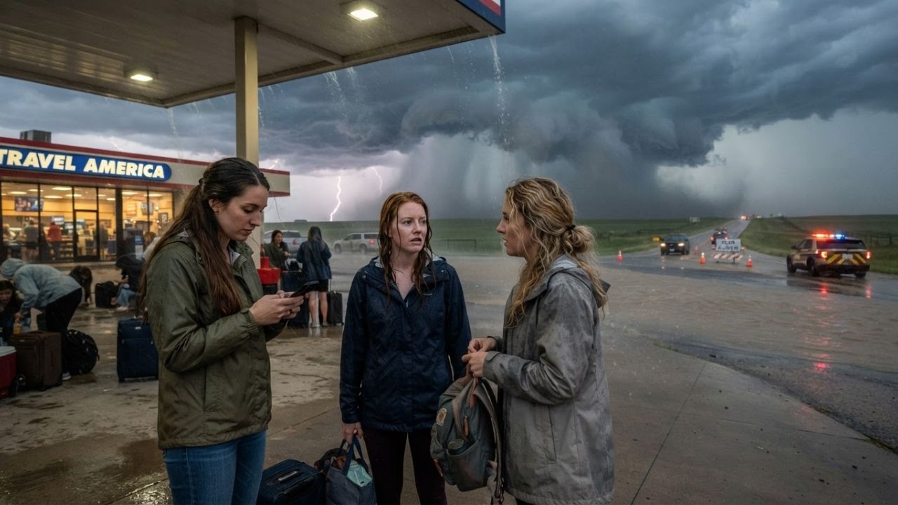
Image generated by AI
When a slow-moving frontal boundary stalled across the central United States on August 6, 2026, it triggered a series of training thunderstorms that threatened to ground flights and flood road networks from the Plains to the East Coast. With Chicago's aviation hubs bracing for severe delays and local heat indexes approaching 100°F, weather authorities are warning travelers to modify their itineraries and avoid flooded routes.
The Local Trend Revealed: Stationary Fronts and Training Thunderstorms
The North American summer travel season is facing growing operational challenges from persistent, slow-moving atmospheric systems. Instead of tracking quickly across the continent, these weather fronts stall over major transit corridors, allowing successive thunderstorms to develop and follow the identical path. This phenomenon, known as training thunderstorms, leads to rapid rainfall accumulation on saturated soils, causing flash floods in urban areas, flight cancellations at major hubs, and highway closures.
A stationary front is a boundary between two different air masses that remains in place for several days. When warm, moisture-rich air from the Gulf of Mexico flows north and collides with this boundary, it generates intense convective storms that stall over the same communities. This prolonged rainfall is a key cause of flash flooding, as the soil is unable to absorb such large volumes of water in a short time.
The latest front is centered over the central Plains and Midwest, with the highest risk of flash flooding focused on portions of Kansas, Oklahoma, Missouri, and Illinois during the middle of the week. Chicago, a central hub for national and international aviation schedules, faces repeated rounds of heavy rain. Because O'Hare and Midway airports coordinate thousands of daily flights, delays in Chicago quickly create ripple effects across the entire global aviation network.
Cultural Value and Environmental Risks in Saturated Ecosystems
For the traveler, the real impact of these severe storms is the need to adjust schedules and choose flexible transit options to minimize pressure on local infrastructure. Saturated ground conditions mean that even moderate wind gusts can uproot trees, bring down power lines, and disrupt local electricity grids. Urban drainage systems are quickly overwhelmed by intense cloudbursts, turning low-lying underpasses and roads into dangerous water traps.
Sustainable eco-tourism initiatives also extend to community education and emergency preparedness. Local parks and conservation areas are setting up temporary water retention basins to reduce runoff and protect surrounding properties. By directing water flow away from critical infrastructure, these municipal projects demonstrate how communities can manage severe weather events while protecting local biodiversity and historical sites.
The National Weather Service (NWS) is emphasizing safety awareness, reminding drivers never to cross flooded roadways, as hidden road damage or deep currents can easily sweep vehicles away. This warning is particularly critical in rural valleys and mountainous areas, where flash floods develop with little warning. Travelers are encouraged to support local communities by staying in authorized accommodations, avoiding unnecessary driving during peak storm hours, and respecting the work of local emergency services.
Severe Storm Potential and Tropical Monitoring
Alongside the flood threat, the weather system brings the potential for localized severe weather. Forecasters indicate that southern Kansas, northern Oklahoma, and eastern Missouri face an elevated risk of severe storms capable of producing large hail and damaging wind gusts. Sharp contrasts in temperature and humidity fuel these storms, with sunny areas climbing into the mid-80s to mid-90s Fahrenheit and humidity producing apparent temperatures near 100°F.
Meanwhile, meteorologists at the NOAA Weather Prediction Center are monitoring the western Atlantic and northern Caribbean for potential tropical development between August 9 and August 15, 2026. Although no direct coastal impacts are confirmed, the atmospheric setup could allow a weak tropical system to move toward the Southeast. Such a system would transport enormous amounts of tropical moisture inland, significantly increasing rainfall totals and flood risks across already saturated regions.
US Storm Travel Guide: Flight Monitoring and Safety Rules
For travelers navigating the storms or planning summer road trips, the NWS and aviation authorities suggest the following tips:
- Optimal Transit Windows: Schedule your road transfers and flights during early morning hours, as thunderstorms and severe weather are most active during the afternoon and evening.
- Flight Monitoring Etiquette: Check your flight status directly through your airline's mobile application before departing for the airport. Sign up for real-time text alerts to track gates and departure changes.
- Flash Flood Safety Rules: Remember the NWS safety rule: "Turn Around Don't Drown." Never attempt to walk or drive through floodwaters, as just twelve inches of rushing water can carry away a small car.
- Sample Regional Fare: If your travel plans are delayed in Chicago or regional transit hubs, take the opportunity to support local merchants. Sample deep-dish pizza, enjoy a local coffee, or purchase goods from independent airport retailers.
- Support Local Relief: Consider supporting local disaster relief organizations and food banks that assist communities affected by flash flooding and power outages.
- The Great Plains Geography: The Great Plains region, stretching across the central United States, is historic for its vast grasslands, agricultural productivity, and severe weather patterns. Bordered by the Rocky Mountains to the west and the Mississippi River valley to the east, the region frequently serves as a mixing zone for cold Canadian air and warm, moist air from the Gulf of Mexico. This geographical setup makes the Plains particularly vulnerable to rapid weather changes, including tornadoes, severe hail, and intense flash floods.
- Appalachian and Eastern Hydrology: The eastern region of the United States, extending from the subtropical tip of Florida up through the Appalachian mountain chain, exhibits a highly complex meteorological profile. Squeezed between the warm waters of the Atlantic Ocean and the Gulf of Mexico, these states are subject to heavy convective storms fueled by moist tropical air flows. By mid-summer, this atmospheric moisture is drawn inland, colliding with slow-moving low-pressure systems to trigger intense cloudbursts that dump several inches of rain over vulnerable coastal and mountain communities.
- Chicago Roadway Navigation: Chicago's extensive highway network, which includes major interstate highways like I-90, I-94, and I-290, is prone to severe delays during torrential downpours. Low-lying sections and underpasses can flood quickly, creating dangerous hydroplaning conditions for vehicles. Commuters and long-distance travelers are advised to expect slower speeds, coordinate departures to avoid peak storm hours, and monitor local road condition reports before beginning their journeys.
- Under-the-Radar Quiet Zones: At major airports like Chicago O'Hare, seek out the quieter terminal seating areas away from the main food courts and departure gates, which offer a calmer environment for remote work.
- Off-Peak Road Travel: To avoid hydroplaning and low visibility on the highway, pull over safely at rest stops during torrential downpours, resuming your journey only after the storm passes.
Long-Term Outlook for US Weather Resilience
The persistent flash flood disruptions across Kansas, Oklahoma, and the Midwest highlight the value of climate-resilient transport infrastructure. By demonstrating the impact of slow-moving fronts on aviation and highway networks, these storms emphasize the need for upgraded urban drainage and advanced forecast systems.
Over the coming decade, continued investments in satellite meteorology, smart grid technology, and resilient transit corridors will shape the US travel market. By maintaining high safety standards, supporting local emergency management, and promoting flexible travel itineraries, transport planners aim to build a resilient visitor economy. This approach ensures that travelers can navigate severe weather patterns safely while protecting lives and supporting local communities.
Disclaimer
This article is for informational and educational purposes only. It does not constitute legal, financial, or professional advice. While we strive to provide accurate and up-to-date information, travel policies, regulations, and conditions change rapidly. Always verify information with official sources before making travel decisions. Nomad Lawyer makes no representations about the accuracy, reliability, completeness, or suitability of the information provided. Readers should consult qualified professionals for advice specific to their circumstances. The views expressed in this article are those of the author and do not necessarily reflect the views of Nomad Lawyer.